The best walks and hikes around Saint-Barthélemy-Le-Plain
4.5
(458)
3,155
hikers
171
hikes
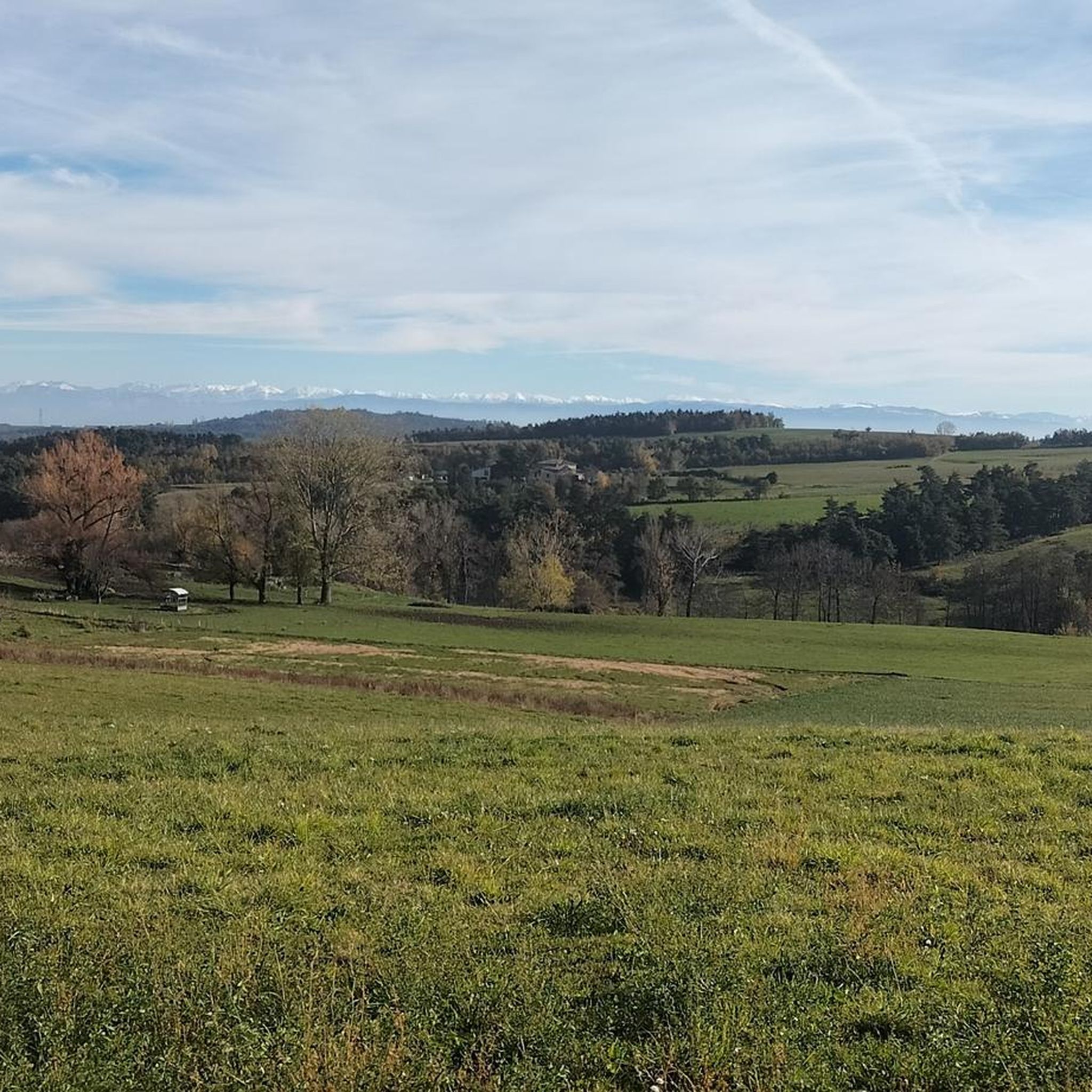
Hiking around Saint-Barthélemy-Le-Plain offers diverse landscapes across its verdant plateau, situated at an average altitude of 400 meters in the northern Ardèche region. The area is characterized by deep river gorges, including the Doux to the north and the Duzon to the south, providing scenic routes through wild terrain. Hikers can explore a mix of plateaus, valleys, and wooded areas, often with panoramic views of the Vercors mountain range and the Alps. This varied topography supports a wide range of…
Last updated: July 1, 2026
4.6
(10)
107
hikers
Moderate hike. Good fitness required. Easily-accessible paths. Suitable for all skill levels.
4.4
(8)
89
hikers
7.54km
02:25
310m
310m
Moderate hike. Good fitness required. Easily-accessible paths. Suitable for all skill levels.

Sign up for free
5.0
(2)
18
hikers
5.80km
01:50
220m
220m
Easy hike. Great for any fitness level. Easily-accessible paths. Suitable for all skill levels.
4.7
(3)
24
hikers
8.95km
02:52
380m
390m
Moderate hike. Good fitness required. Easily-accessible paths. Suitable for all skill levels.
4.3
(6)
40
hikers
14.1km
04:08
370m
370m
Moderate hike. Good fitness required. Easily-accessible paths. Suitable for all skill levels.
Get access to more routes and recommendations from other explorers.
Sign up for free
Already have an account?
Our route recommendations are based on thousands of hikes, rides, and runs completed by other people on komoot.
Start today with a free account
Your next adventure awaits.
Login or Signup

Tips from the Community

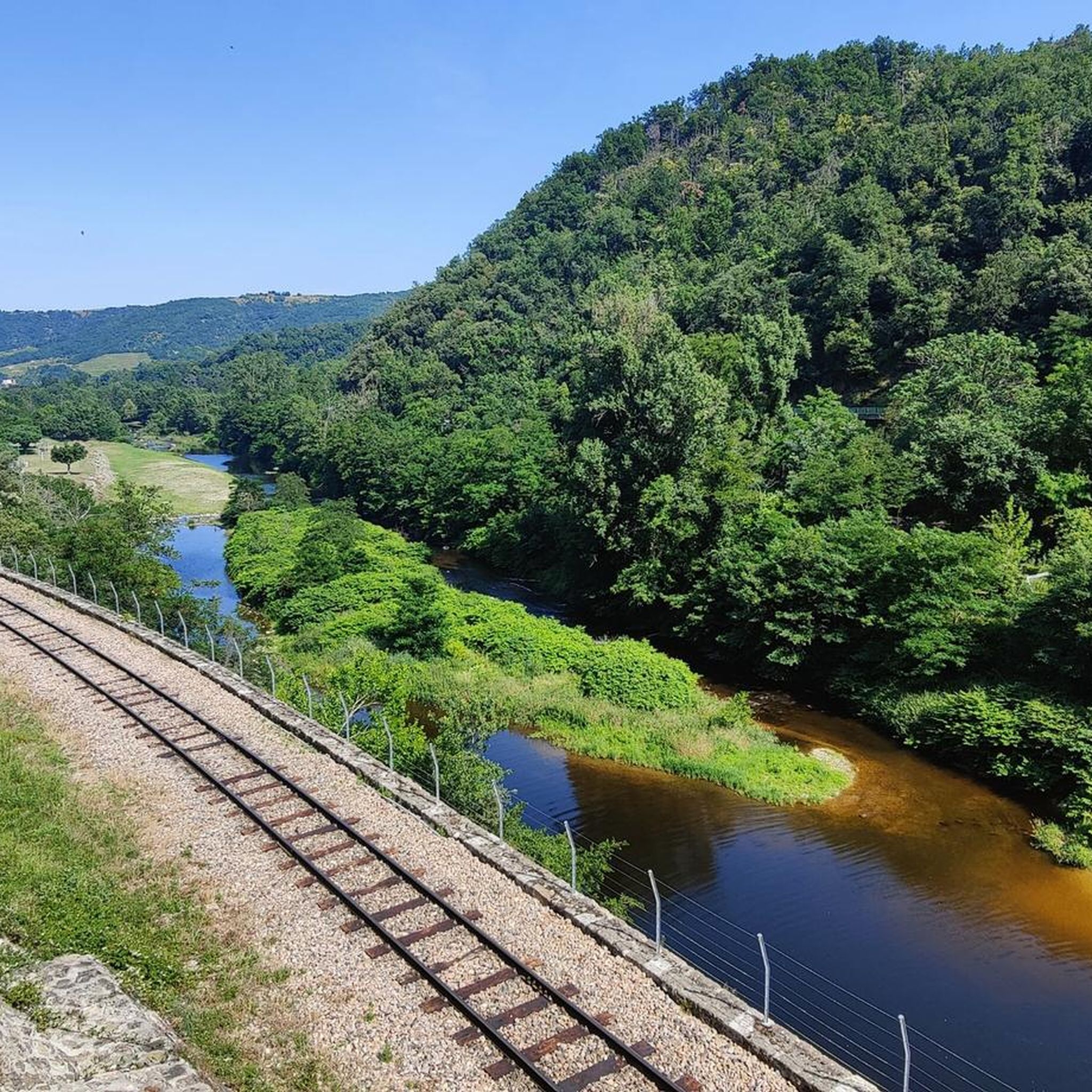
Called the Mastrou or Train de l'Ardèche, the Vivarais railway is a 33-kilometer-long metre-gauge tourist railway line, connecting Lamastre to Saint-Jean-de-Muzols, near Tournon-sur-Rhône. A steam train, with a locomotive classified as a Historic Monument, invites young and old to discover the green Doux valley, a preserved area with panoramas inaccessible by road. Part of the Mastrou line can also be travelled by railbike starting from Boucieu-le-Roi. Twelve kilometers of descent by railbike in the Doux gorges, with a return by historic railcar, to do as a couple, with family or with friends! trainardeche.fr velorailardeche.com
0
0


Nestled in the heart of a meander of the Daronne, the hamlet of Saint-Sorny is a natural setting where calm reigns supreme. The small Romanesque chapel is remarkable in this preserved setting classified as a Sensitive Natural Area.
0
0
Cabled suspended footbridge over the Daronne. Turn left, just after the footbridge, back and forth, for 100m, for the view.
1
0

walk partly over steep stairs, beautiful views
0
0

Take a trip with the steam train, beautiful experience
0
0
Frequently Asked Questions
How many hiking trails are available around Saint-Barthélemy-Le-Plain?
There are over 160 hiking routes in the Saint-Barthélemy-Le-Plain area, offering a wide range of options for different skill levels and preferences. These trails explore the diverse landscapes of the northern Ardèche, including river gorges, plateaus, and wooded areas.
What types of terrain can I expect on hikes in Saint-Barthélemy-Le-Plain?
The terrain around Saint-Barthélemy-Le-Plain is quite varied. You'll encounter paths through deep river gorges, such as those of the Doux and Duzon rivers, as well as trails across verdant plateaus and through wooded areas. This mix provides diverse experiences, from gentle strolls to more challenging ascents.
Are there any easy hiking trails suitable for beginners or families?
Yes, Saint-Barthélemy-Le-Plain offers a good selection of easy trails. Approximately 60 routes are rated as easy, making them suitable for beginners or families looking for a less strenuous walk. An example is the Saint-Sorny chapel – Daronne Riverbank loop from Maurins, which is 3.6 miles (5.8 km) long and takes about 1 hour 50 minutes.
What are the best trails for panoramic views in the region?
Many trails in Saint-Barthélemy-Le-Plain offer splendid panoramic views from its elevated position. You can often see the Vercors mountain range, the Alps (including Mont Blanc on clear days), and the Mont Gerbier des Joncs. The region's plateaus and ridge walks, such as those described as 'boucles des crêtes et vallon' in the region research, are ideal for finding these vistas.
Are there any circular hiking routes available?
Yes, many of the trails around Saint-Barthélemy-Le-Plain are circular routes, allowing you to start and end at the same point. For example, the Saint-Sorny chapel – Daronne Riverbank loop from Saint-Barthélemy-le-Plain is a popular circular option that takes you along the Daronne River.
What interesting landmarks or attractions can I see near the hiking trails?
Beyond the natural beauty, you can explore several interesting landmarks. The ancient mule track 'La Raviscole' and a historic bridge from 1656 cross the Duzon river. You might also encounter the scenic railway line of the 'Petit Train de l'Ardèche' in the Doux river gorges. For specific points of interest, consider visiting the Passerelle Marc-Seguin or the Marc Seguin Suspension Bridge.
What do other hikers enjoy most about the trails in Saint-Barthélemy-Le-Plain?
The trails in Saint-Barthélemy-Le-Plain are highly rated by the komoot community, with an average score of 4.4 stars from over 400 reviews. Hikers often praise the diverse landscapes, the scenic river gorges, and the panoramic views of the surrounding mountains and the Rhône valley.
Are there any trails that follow riverbanks or feature water elements?
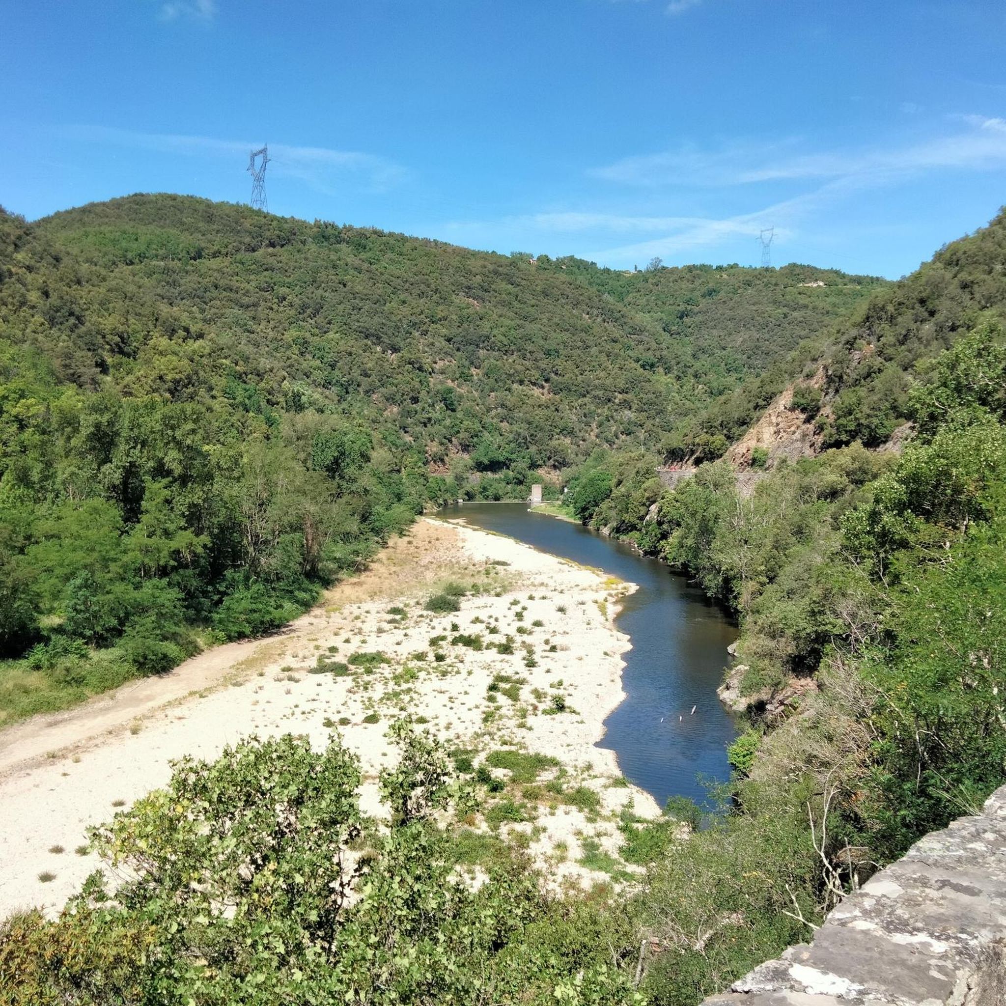
Absolutely. The region is defined by its two main rivers, the Doux to the north and the Duzon to the south, both forming deep gorges. Many trails follow these riverbanks, offering beautiful waterside scenery. The Daronne Riverbank – Saint-Sorny chapel loop from Maurins is a great example of a route that winds through the Daronne valley.
Is public transport available to access hiking trailheads in Saint-Barthélemy-Le-Plain?
While Saint-Barthélemy-Le-Plain is a rural area, public transport options might be limited directly to all trailheads. It's advisable to check local bus schedules or consider driving to access the starting points of many hikes. Some routes, like those near the 'Petit Train de l'Ardèche', might have specific access points related to the train line.
Where can I find parking for hiking trails in Saint-Barthélemy-Le-Plain?
Parking facilities are generally available in or near the village center of Saint-Barthélemy-Le-Plain and at designated trailheads for popular routes. Specific parking information is usually provided on individual route descriptions on komoot, so it's recommended to check the tour details for your chosen hike.
What is the best time of year to go hiking in Saint-Barthélemy-Le-Plain?
The region is enjoyable for hiking throughout much of the year. Spring and autumn offer pleasant temperatures and vibrant scenery, with blooming flowers or colorful foliage. Summer can be warm, making early morning or late afternoon hikes preferable. Winter hiking is possible, but some higher or more exposed trails might require appropriate gear.
Are there any longer, more challenging hikes for experienced hikers?
Yes, for experienced hikers seeking a challenge, there are several more demanding routes. The area features 9 trails rated as difficult, which typically involve greater distances and elevation changes. These routes often explore the deeper gorges and higher plateaus, providing a more strenuous experience.
Most popular routes around Saint-Barthélemy-Le-Plain
Most popular attractions around Saint-Barthélemy-Le-Plain

Get inspired with the komoot mobile app


Explore more
Browse the best Hikes in other regions.
