Top 20 Mountain Passes around Sainte-Foy-Tarentaise
Best mountain passes around Sainte-Foy-Tarentaise provide access to high-altitude terrain and diverse natural features within the Tarentaise Valley. This region is known for its alpine landscapes and historical crossing points between France and Italy. The area features challenging routes for cyclists and hikers, with many offering views of Mont Pourri and other glaciers. It serves as a significant connection point between the French Alps and the Italian Aosta Valley.
Best mountain passes around Sainte-Foy-Tarentaise
- The most popular mountain passes is…
Last updated: July 10, 2026
Tachuy Pass – France-Italy border, Mont Blanc ahead
Highlight • Mountain Pass
- On the Italian …
Translated by Google •
Tip by

Col du Petit Saint Bernard (2188 m)
Highlight • Mountain Pass
It's …
Translated by Google •
Tip by

Sign up now to discover places like this
Get recommendations on the best single tracks, peaks, & plenty of other exciting outdoor places.
Sign up for free
The Mauritian hospice of the Col du Petit Saint-Bernard
Highlight • Historical Site
Translated by Google •
Tip by

Ascent to the Col du Petit Saint-Bernard from Pré-Saint-Didier
Highlight (Segment) • Mountain Pass
Translated by Google •
Tip by

Col de l'Iseran
Highlight • Mountain Pass
Translated by Google •
Tip by

Sign up for free to discover even more mountain passes around Sainte-Foy-Tarentaise.
Sign up for free
Already have an account?
Start today with a free account
Your next adventure awaits.
Login or Signup
Popular around Sainte-Foy-Tarentaise
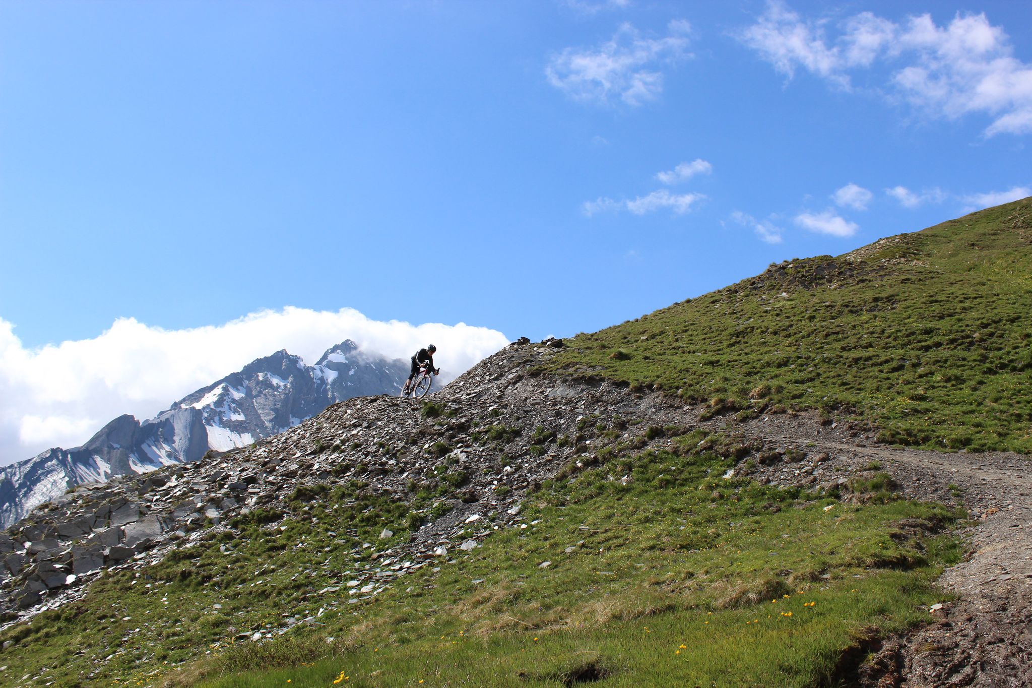
Spectacular Alpine gravel roads of the Tarentaise Valley
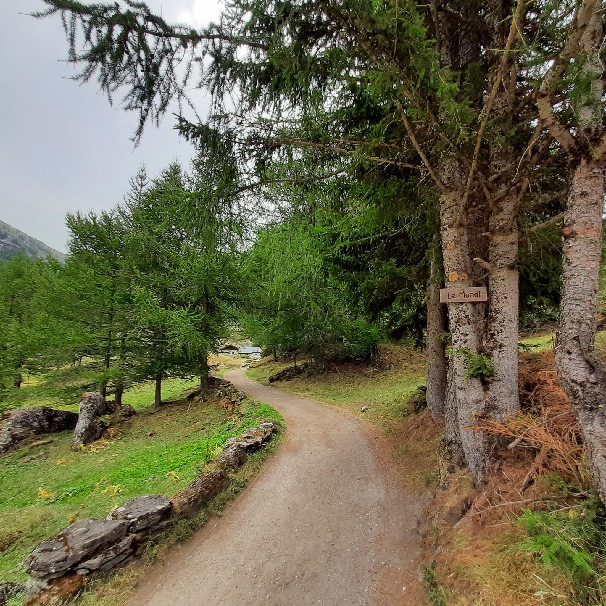
Hiking around Sainte-Foy-Tarentaise
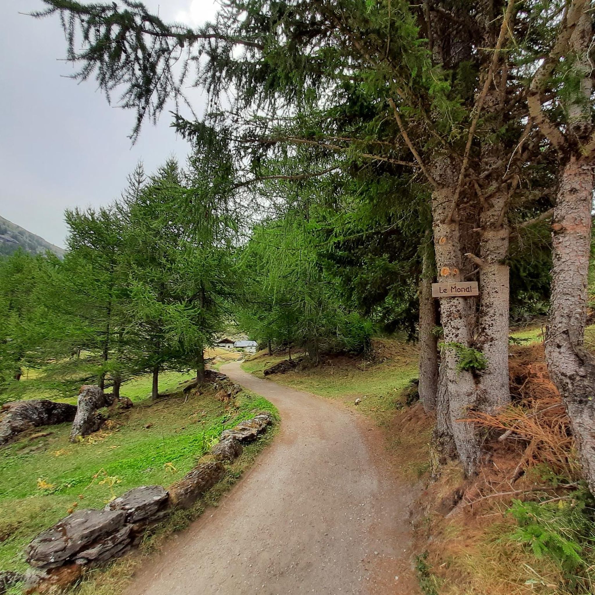
Road Cycling Routes around Sainte-Foy-Tarentaise
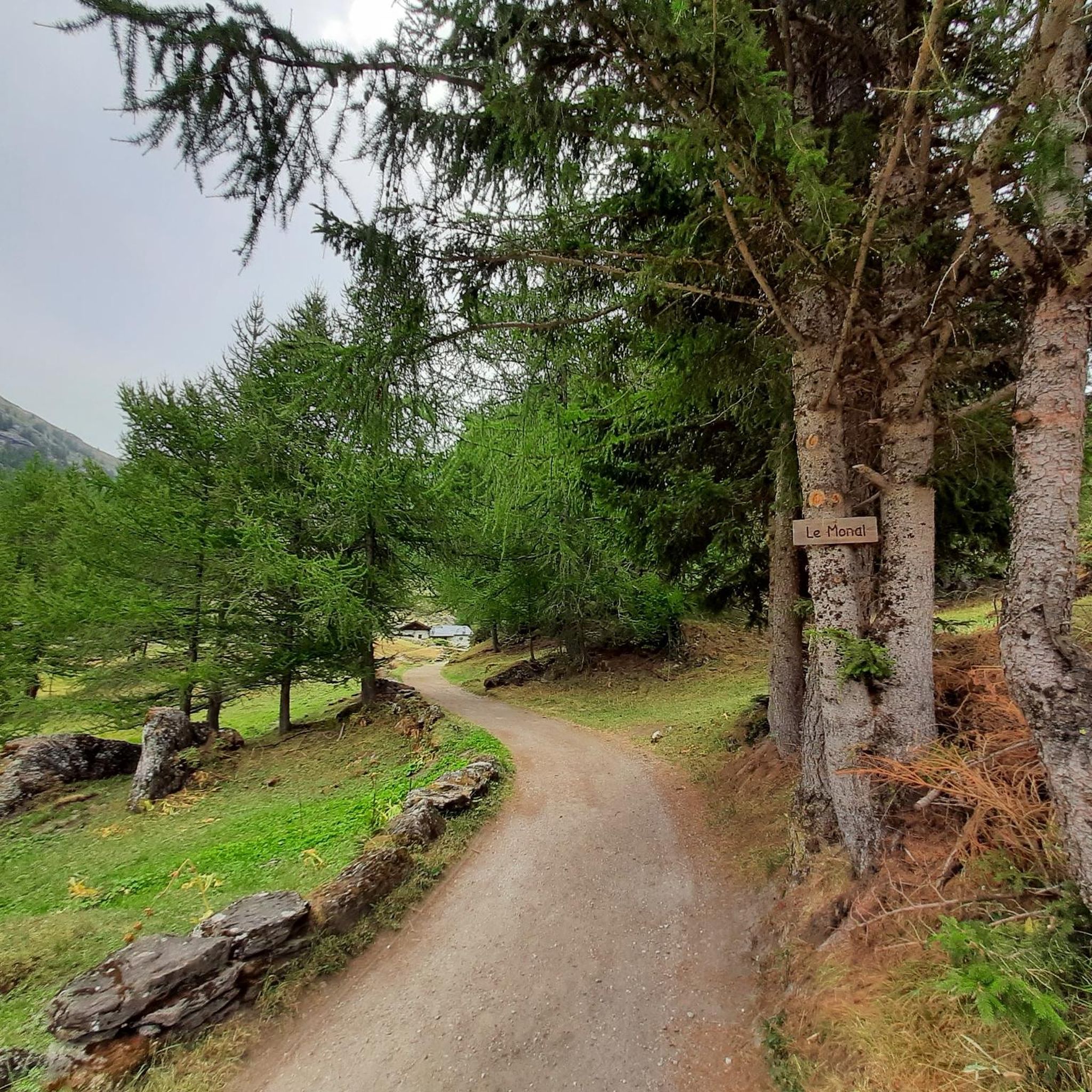
MTB Trails around Sainte-Foy-Tarentaise
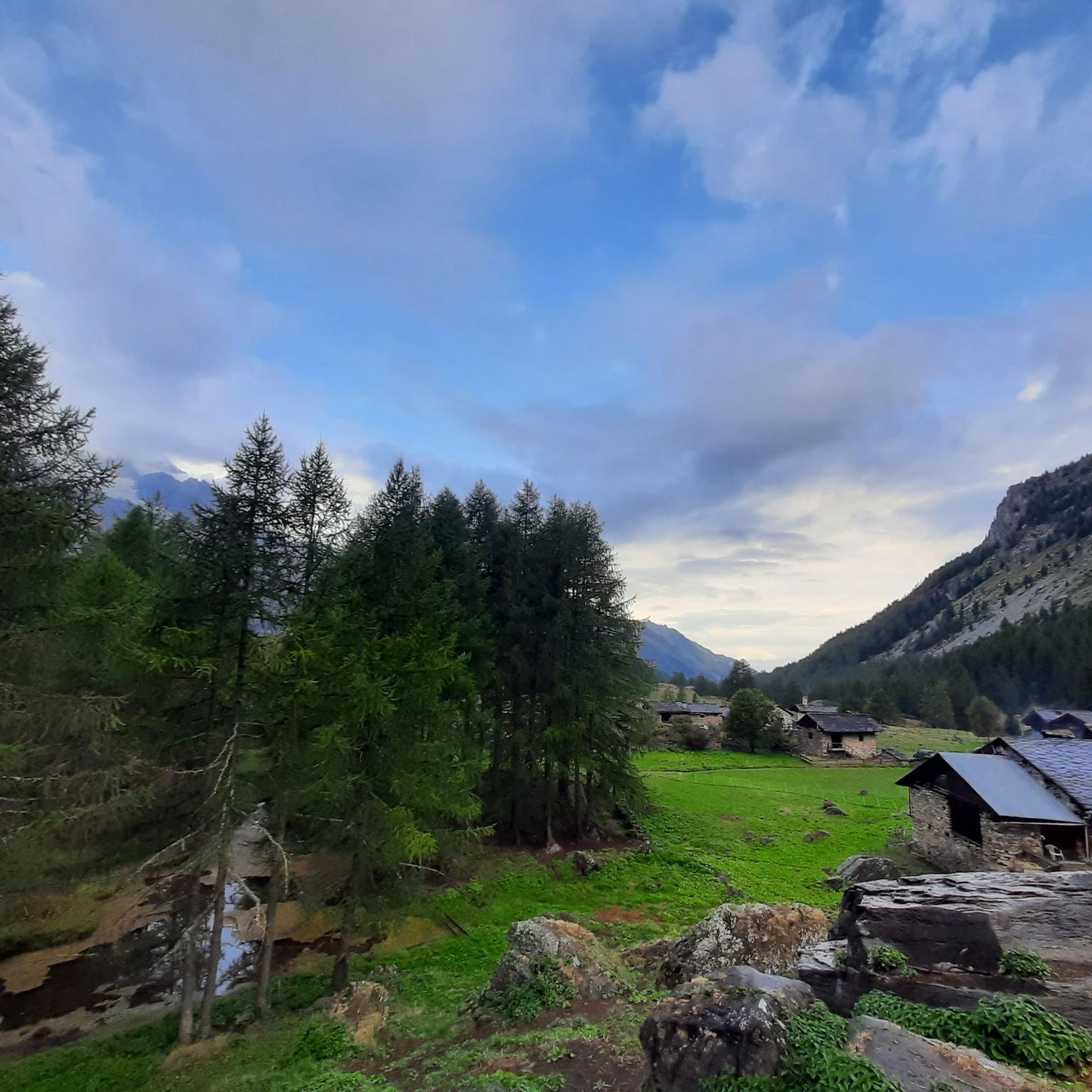
Cycling around Sainte-Foy-Tarentaise

Gravel biking around Sainte-Foy-Tarentaise
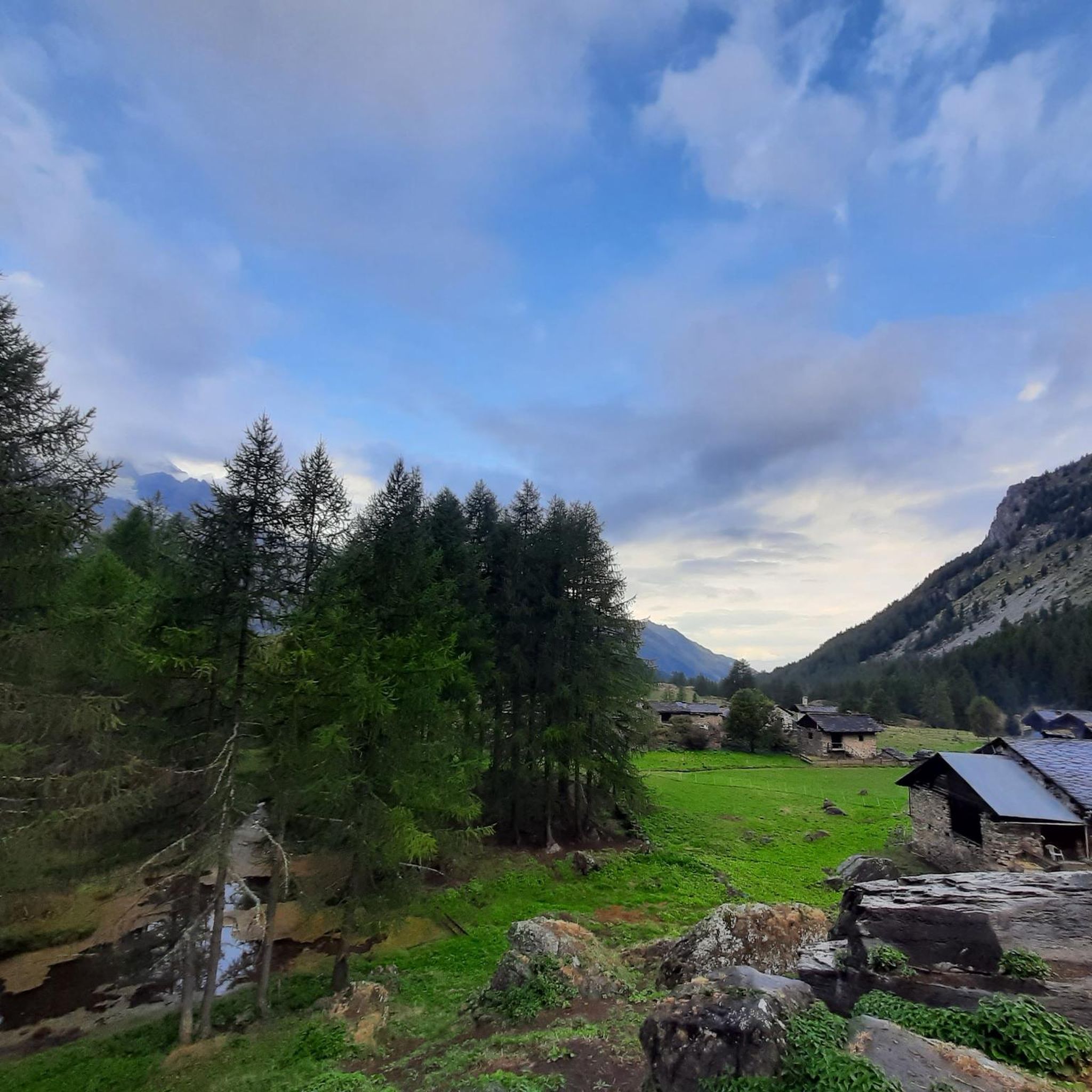
Running Trails around Sainte-Foy-Tarentaise
Mountain Hikes around Sainte-Foy-Tarentaise
Other adventures around Sainte-Foy-Tarentaise

Tips from the Community

Start of the ascent, the pass is further up later.
0
0

A great Aosta Valley classic; the climb itself isn't too difficult, but be careful not to underestimate the wind that often blows strongly from France, making the 12 km from La Thuile to the pass much more challenging than the gradient suggests. The landscape is beautiful and evocative: from the legendary eight hairpin bends that allow you to leave Pré-Saint-Didier behind, you enter the cool valley that leads to La Thuile. After passing the ski resort, you quickly gain altitude with long straights, then enter the forest and conclude the climb in a vast alpine meadow.
2
0

superb pass in a grandiose environment
1
0

The municipality of Pré-Saint-Didier with Mont Blanc in the background
0
1

From La Thuile a smooth and pleasant climb
1
0

The climb to the Colle del Piccolo San Bernardo from the Italian side begins in Pré-Saint-Didier. It is a long climb of about 23 km with an altitude difference of 1200 meters. The gradient is moderate until the town of La Thuile, then becomes more constant and challenging in the last 14.5 km (average 5-7%), with numerous hairpin bends at the end.
1
0
A great Aosta Valley classic; the climb itself isn't particularly difficult, but be careful not to underestimate the wind that often blows strongly from France, making the 12 km from La Thuile to the pass much more challenging than the steepness suggests. The landscape is beautiful and evocative: from the iconic eight hairpin bends that allow you to leave Pré-Saint-Didier behind, you enter the cool valley that leads to La Thuile. After passing the ski resort, you quickly gain altitude with long straights, then enter the forest and conclude the climb in a vast alpine meadow.
6
0

Don't hesitate to go to the Italian side: the coffee is much better.
2
0
Frequently Asked Questions
What are some of the most scenic mountain passes around Sainte-Foy-Tarentaise?
The region offers several passes with impressive vistas. Col de l'Iseran is renowned for its high-alpine scenery, glaciers, and lakes. Another highlight is Tachuy Pass – France-Italy border, Mont Blanc ahead, which provides breathtaking panoramas of Mont Blanc and the Grandes Jorasses.
Which mountain passes are best for road cycling?
The Tarentaise Valley is a haven for cyclists. Col de l'Iseran, as the highest paved pass in the Alps, is a legendary challenge and part of the Route des Grandes Alpes. Col du Petit Saint-Bernard (2188 m) also offers a rewarding cycling experience with impressive views and historical significance. You can find more cycling routes in the area by exploring the Road Cycling Routes around Sainte-Foy-Tarentaise guide.
Are there challenging hiking routes to mountain passes in the region?
Yes, several passes involve challenging hikes. Reaching Col du Mont, for example, typically involves a demanding trek from the Pierre Giret parking lot, passing the Refuge de l'Archeboc. The Tachuy Pass also presents a challenging ascent, especially on the French side, with steep sections. For more options, check out the Mountain Hikes around Sainte-Foy-Tarentaise guide.
What historical significance do the mountain passes around Sainte-Foy-Tarentaise hold?
Many passes in the region served as ancient crossing points between France and Italy. Col du Petit Saint-Bernard (2188 m) is particularly notable, with beliefs that Hannibal used this pass. The Mauritian hospice of the Col du Petit Saint-Bernard stands as a symbol of hospitality along this historic route.
When is the best time to visit the mountain passes in Sainte-Foy-Tarentaise?
Most high-altitude mountain passes, such as Col du Petit Saint-Bernard (2188 m) and Col de l'Iseran, are only accessible during the summer months due to snow. Late May or early June can offer unique experiences with snow walls and less traffic, while mid-summer provides the warmest weather for hiking and cycling.
Are there any family-friendly options or easier walks near the mountain passes?
While many passes involve challenging terrain, the region around Sainte-Foy-Tarentaise offers diverse routes. For family-friendly options, consider exploring lower-altitude trails or sections of the valleys leading up to the passes. The area boasts numerous scenic drives and routes suitable for various fitness levels, often with stunning views of Mont Pourri and other glaciers.
What natural features can I expect to see when visiting these mountain passes?
The passes offer diverse natural beauty, including high-altitude terrain, glaciers, and alpine lakes. From Col de l'Iseran, you can see vast alpine landscapes. The circuit around Lac Noir de Montséti, while not a pass itself, provides marvelous panoramas, traversing the magnificent Sassière plateau and leading to the striking Lac Noir. The region is also part of the Vanoise National Park, ensuring protected natural environments.
Are there any annual events or unique experiences at these passes?
Yes, Col du Mont is known for an annual Franco-Italian friendship event held every July. This event celebrates local traditions and fosters conviviality, often featuring local specialties. The Refuge de l'Archeboc, located on the route to Col du Mont, is also open during the summer season, providing a welcoming stop for hikers.
Where can I find parking or trailheads for mountain passes in the area?
Specific parking areas and trailheads vary by pass. For instance, the challenging hike to Col du Mont typically starts from the Pierre Giret parking lot. For Col de l'Iseran, a car park behind the turn of Pont St Charles is used by hikers and cyclists. It's advisable to check specific route details for precise trailhead and parking information.
What are the typical terrain and elevation challenges of the mountain passes?
The mountain passes around Sainte-Foy-Tarentaise are characterized by high-altitude terrain. Passes like Col de l'Iseran reach 2,770 meters, and Col du Petit Saint-Bernard (2188 m) involves significant elevation gains, such as 1,200 meters over 27 kilometers from Seez. Cyclists and hikers should expect sustained climbs, winding roads or trails, and potentially steep sections, especially on the French side of passes like Tachuy Pass.
Can I find amenities like cafes or accommodation near the mountain passes?
While the passes themselves are often remote, amenities can be found in nearby villages or at specific points along the routes. For example, after ascending Col du Petit Saint-Bernard (2188 m), you can find cafes and accommodation on the Italian side. The Refuge de l'Archeboc is a welcoming stop for hikers on the way to Col du Mont. The Mauritian hospice at the Col du Petit Saint-Bernard also offers a restaurant, rooms, and a tourist information point.
Are there opportunities for running near the mountain passes?
Yes, the region offers various running trails that can incorporate views of the passes or lead through the surrounding alpine environment. For example, the 'Ruitor Refuge – Ruitor Hut loop from Pierre Giret' is a difficult 12.4 km running route. You can explore more options in the Running Trails around Sainte-Foy-Tarentaise guide.
Most popular routes around Sainte-Foy-Tarentaise
Most popular attractions around Sainte-Foy-Tarentaise

Get inspired with the komoot mobile app


Explore more
See even more epic mountain passes by checking out these guides around Sainte-Foy-Tarentaise:
