The best running trails around Sainte-Foy-Tarentaise
4.4
(82)
9,855
runners
12
runs
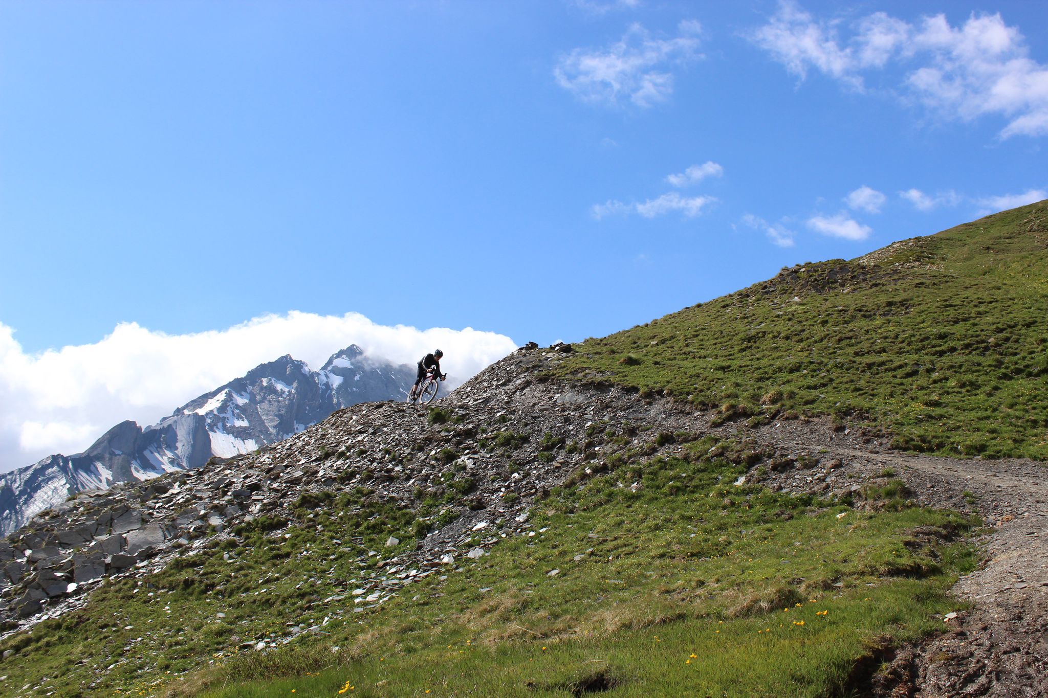
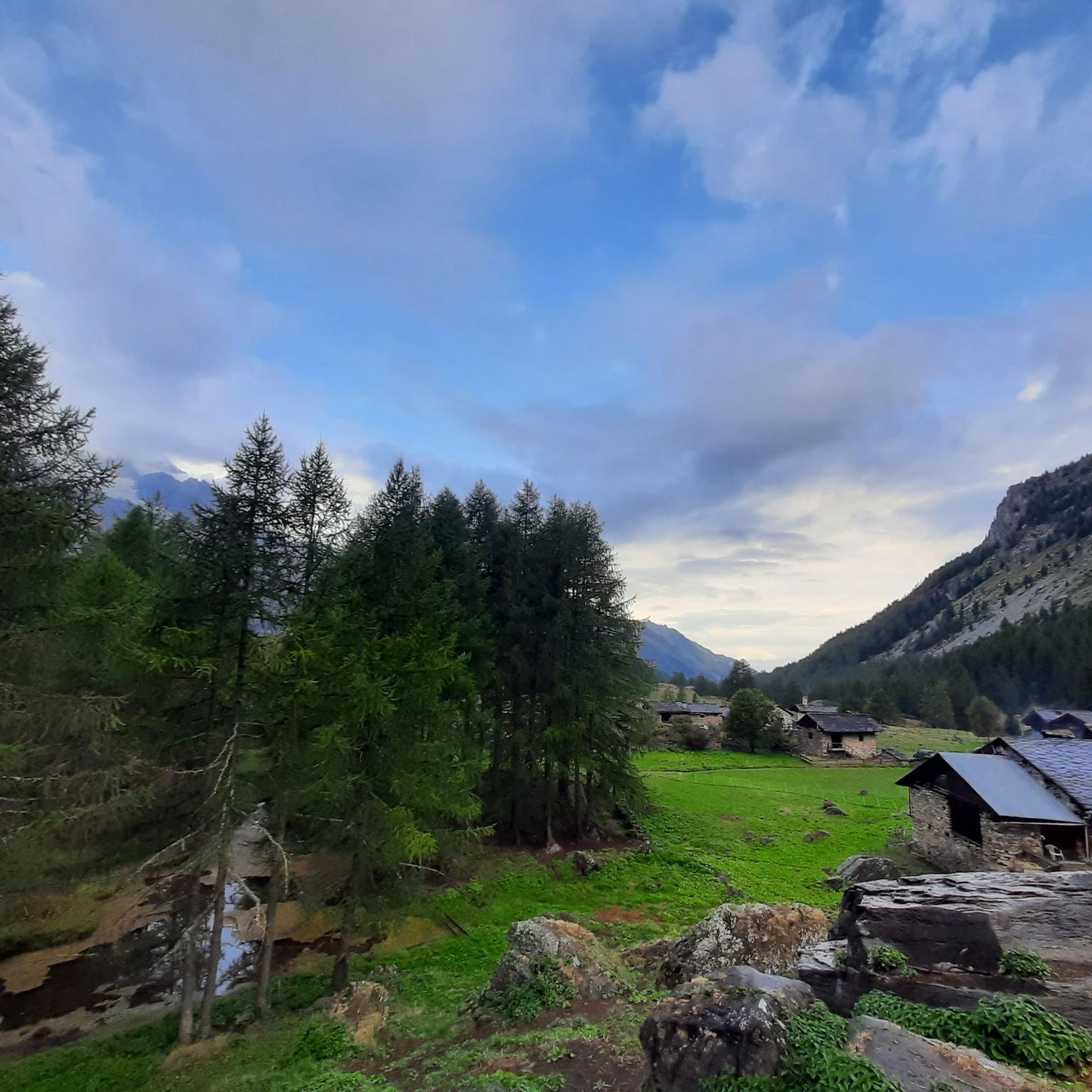
Jogging around Sainte-Foy-Tarentaise offers access to an extensive network of trails through diverse alpine landscapes. The region is characterized by four distinct mountain valleys, winding footpaths through alpine meadows and pine forests, and past clear mountain streams. Joggers can experience significant elevation changes, with routes leading to natural features such as Lake Arpy and offering panoramic views of the Tarentaise Valley and surrounding peaks.
Best jogging routes around Sainte-Foy-Tarentaise
- The most popular jogging route is Le Monal loop from Sainte-Foy-Tarentaise, a 9.4 miles (15.2 km) trail that takes 2 hours 25 minutes to complete. This difficult route leads to the picturesque hamlet of Le Monal, known for its traditional chalets.
- Another top favourite among local runners is Ruitor Refuge – Ruitor Hut loop from Pierre Giret, a difficult 7.7 miles (12.4 km) path. This route offers challenging terrain and views of the alpine environment near the Ruitor glacier.
- Local runners also love the Running loop from Sainte-Foy-Tarentaise, a 3.9 miles (6.2 km) trail leading through varied local scenery, often completed in about 51 minutes.
- Jogging around Sainte-Foy-Tarentaise is defined by alpine meadows, fragrant pine forests, and diverse mountain valleys. The extensive trail network offers options for various ability levels, from moderate runs to more challenging routes with significant elevation gain.
- The routes in Sainte-Foy-Tarentaise are highly rated by the komoot community with an average score of 4.5 stars from over 90 reviews. More than 10,000 runners have used komoot to explore Sainte-Foy-Tarentaise's varied terrain.
Last updated: July 4, 2026
20
runners
12.4km
02:20
790m
790m
Hard run. Very good fitness required. Sure-footedness, sturdy shoes and alpine experience required.
15
runners
17.4km
02:57
1,110m
1,110m
Hard run. Very good fitness required. Sure-footedness, sturdy shoes and alpine experience required.

Sign up for free
14
runners
6.24km
00:51
290m
290m
Moderate run. Good fitness required. Mostly paved surfaces. Suitable for all skill levels.
5.0
(1)
50
runners
9.69km
01:24
390m
390m
Hard run. Very good fitness required. Mostly paved surfaces. Suitable for all skill levels.
10
runners
10.9km
01:53
690m
690m
Hard run. Very good fitness required. Sure-footedness, sturdy shoes and alpine experience required.
Get access to more routes and recommendations from other explorers.
Sign up for free
Already have an account?
Our route recommendations are based on thousands of hikes, rides, and runs completed by other people on komoot.
Start today with a free account
Your next adventure awaits.
Login or Signup
Popular around Sainte-Foy-Tarentaise

Other adventures around Sainte-Foy-Tarentaise

Tips from the Community

Perched in the Alps, this viewpoint offers a magnificent panorama of snow-capped mountains, alpine forests and small villages nestled in the valley bottom. The view extends over majestic peaks and green slopes.
1
0


A pretty lake near the village of Le Monal with magnificent views of the high peaks and glaciers of the Tarentaise.
0
0
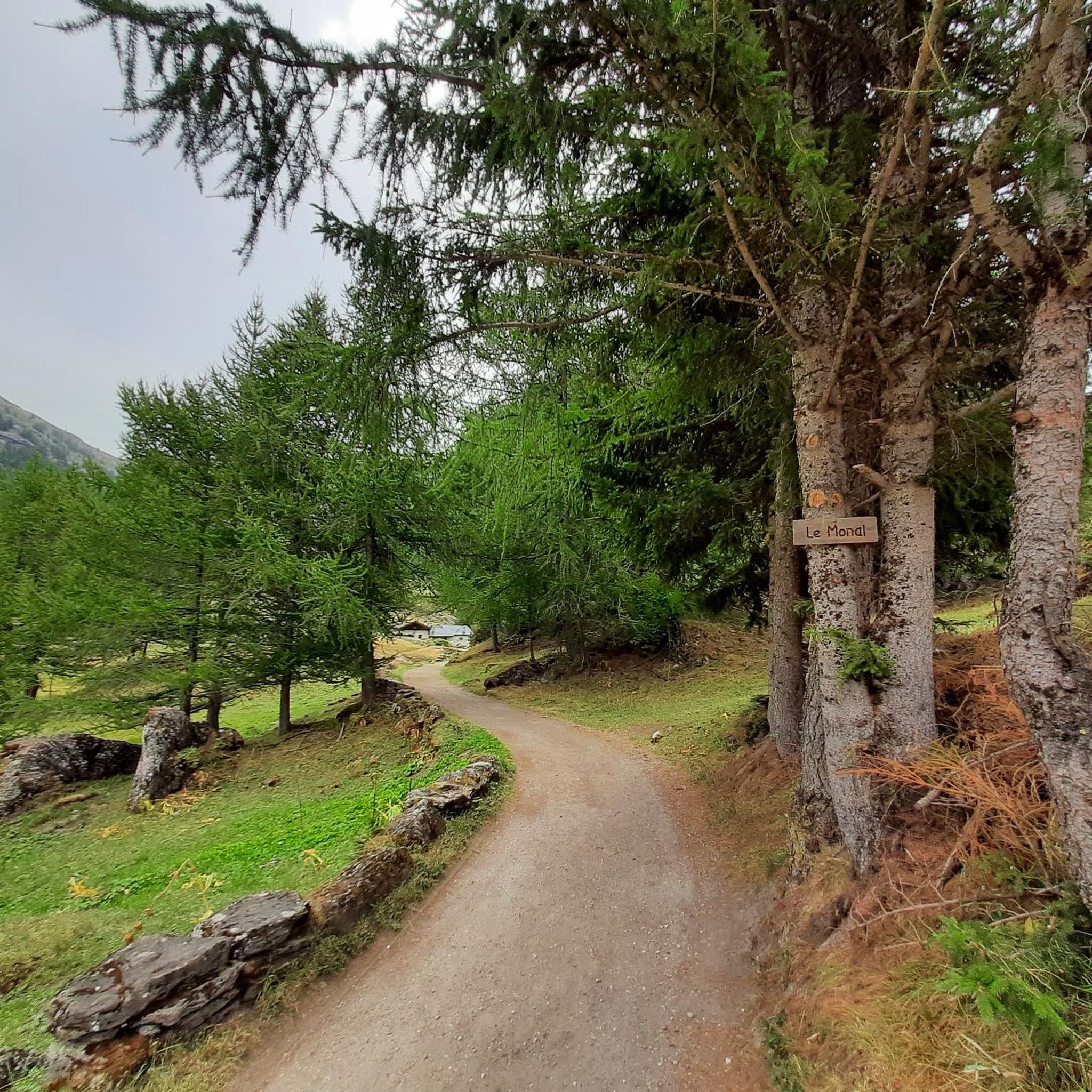
The path from the village of Monal takes us through a beautiful section in the forest where you can sometimes see goats grazing.
0
0
The village of Monal, facing the Mont Pourri glaciers, is made up of 18th and 19th century mountain chalets. Here you can buy local cheeses.
0
1

The Ruitor refuge is a private refuge, which is monitored all year round outside the surveillance period. It is located at an altitude of 2038 m in the middle of the Sassière plateau, right at the foot of the imposing Ruitor massif. It is an old alpine chalet which was first restored in 1974 by the CAF (French Alpine Club).
0
0
Frequently Asked Questions
What kind of terrain can I expect on running routes in Sainte-Foy-Tarentaise?
The running routes in Sainte-Foy-Tarentaise offer a diverse experience, winding through alpine meadows, fragrant pine forests, and past crystal-clear mountain streams. You'll encounter varied terrain with significant elevation changes, characteristic of the region's four distinct mountain valleys: Petite Sassière, Mercuel, Clou, and Nant Cruet.
Are there any easy or moderate running trails available in Sainte-Foy-Tarentaise?
Yes, while many routes are challenging, there are options for moderate runs. For example, the Running loop from Sainte-Foy-Tarentaise is a moderate 6.2 km trail that takes about 51 minutes to complete, offering varied local scenery.
Can I find routes with panoramic mountain views while jogging in the area?
Absolutely. Sainte-Foy-Tarentaise is known for its breathtaking panoramic views. Many trails offer vistas of the Tarentaise Valley, Mont Blanc, Mont Pourri, Dôme de la Sache, and the Balmes glacier. Look for designated 'Natur'Pictures spots' for some of the most splendid viewpoints.
Are there any running routes that pass by lakes or waterfalls?
Yes, the region features natural monuments like lakes and waterfalls. You can discover Lake Arpy, situated at 2,066 meters, or the impressive Rutor waterfalls, fed by the Rutor glacier. Some routes will bring you close to these natural attractions.
What do other runners say about the trails in Sainte-Foy-Tarentaise?
The running routes in Sainte-Foy-Tarentaise are highly regarded by the komoot community, with an average rating of 4.5 stars from over 90 reviews. Runners often praise the unspoiled natural beauty, the extensive trail networks, and the diverse, picturesque landscapes that make for an engaging experience.
Are there any specific landmarks or picturesque villages to see on a run?
Yes, the area is rich in charm. A notable highlight is Le Monal, an award-winning and picturesque hamlet with 18th and 19th-century chalets. The Le Monal loop from Sainte-Foy-Tarentaise is a popular, challenging route that leads directly to this protected site.
How many running routes are available in Sainte-Foy-Tarentaise?
There are over a dozen dedicated running routes around Sainte-Foy-Tarentaise listed on komoot, catering to various fitness levels. These include 3 moderate routes and 9 difficult routes, ensuring options for different preferences and abilities.
Are there any long-distance or challenging trail running options?
For experienced runners seeking a challenge, Sainte-Foy-Tarentaise offers several difficult routes. The Ruitor Refuge – Ruitor Hut loop from Pierre Giret is a demanding 12.4 km path with significant elevation gain, providing views of the alpine environment near the Ruitor glacier.
What is the best time of year for running in Sainte-Foy-Tarentaise?
Sainte-Foy-Tarentaise offers excellent conditions for outdoor activities, including running, particularly during the warmer months when the alpine meadows are vibrant and trails are clear of snow. Autumn also provides stunning scenery with golden larch forests.
Are there any circular running routes in the region?
Yes, many of the running trails in Sainte-Foy-Tarentaise are designed as loops, allowing you to start and finish in the same location. Examples include the Running loop from Sainte-Foy-Tarentaise and the various loops around Le Monal.
What kind of natural features can I expect to see on a run in Sainte-Foy-Tarentaise?
You'll encounter a rich variety of natural features, from extensive footpaths winding through alpine meadows and pine forests to diverse mountain valleys. The region is part of the Vanoise National Park, offering opportunities for nature immersion and wildlife watching amidst stunning landscapes.
Are there any other interesting natural attractions near the running trails?
Beyond the immediate trails, the wider region boasts several natural attractions. You might encounter other beautiful lakes like Lac du Verney or Lake Chevril, or even catch glimpses of impressive peaks such as Aiguille de la Grande Sassière.
Most popular routes around Sainte-Foy-Tarentaise
Most popular attractions around Sainte-Foy-Tarentaise

Get inspired with the komoot mobile app


Explore more
Browse the best Running Trails & Routes in other regions.
