The best walks and hikes around Saint-Sorlin-De-Morestel
4.4
(125)
735
hikers
139
hikes
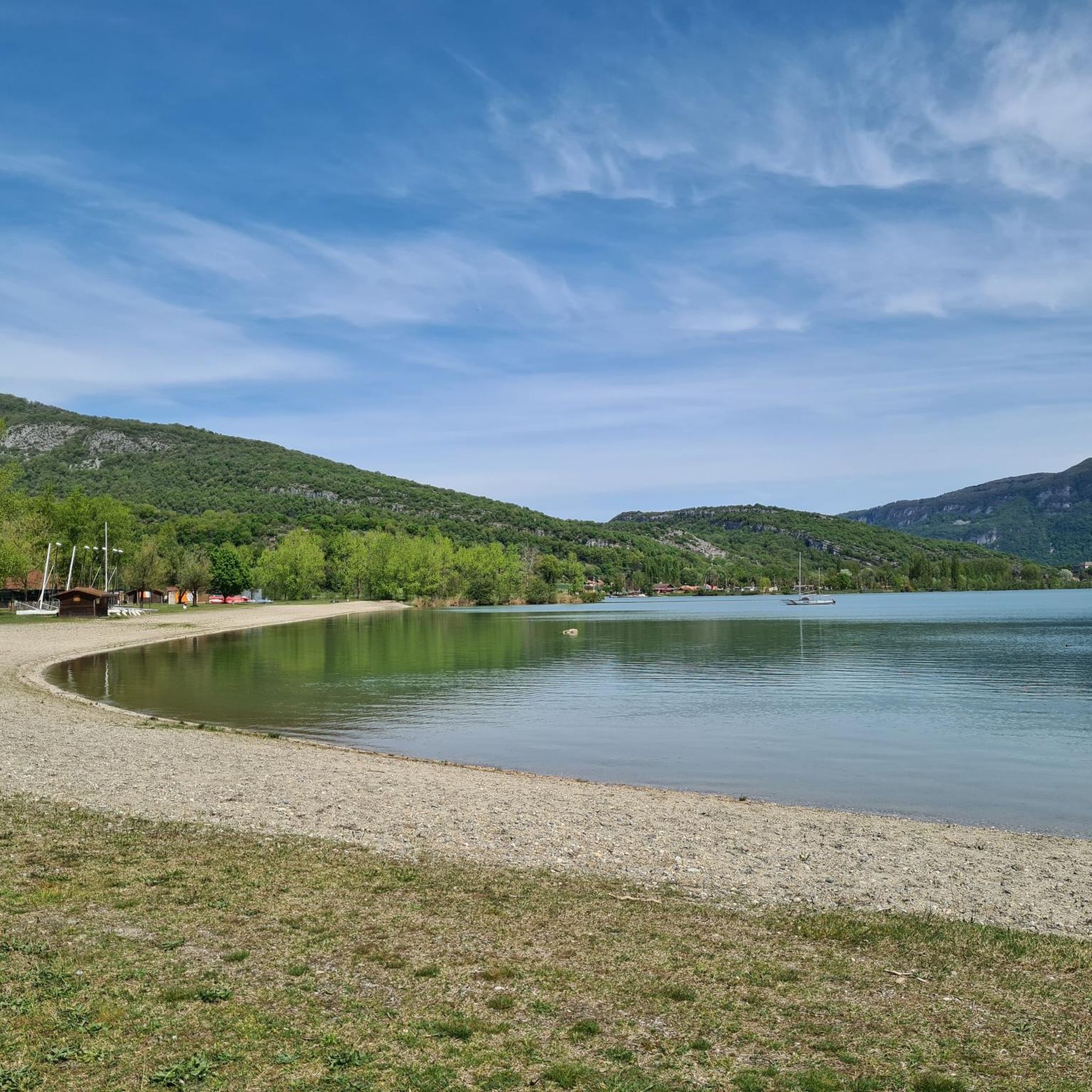
Hiking around Saint-Sorlin-De-Morestel offers exploration of a rural, hilly, and green landscape. The area provides views of the Bugey mountains and Alpine massifs. Its natural features include a diversified fauna and flora, thriving in marshy areas that cover 15% of the municipality's territory. The Forêt de la Laurentière, part of the Espace Naturel Sensible de la Save, also presents a preserved forest environment for hikers.
Best hiking trails around Saint-Sorlin-De-Morestel
- The most popular hiking route is Hiking loop from Morestel…
Last updated: June 27, 2026
4.5
(4)
8
hikers
13.2km
03:36
190m
190m
Moderate hike. Good fitness required. Easily-accessible paths. Suitable for all skill levels.
5
hikers
8.14km
02:14
140m
130m
Moderate hike. Good fitness required. Easily-accessible paths. Suitable for all skill levels.

Sign up for free
4
hikers
8.87km
02:19
70m
70m
Moderate hike. Good fitness required. Easily-accessible paths. Suitable for all skill levels.
4.6
(12)
5
hikers
2.19km
00:34
10m
20m
Easy hike. Great for any fitness level. Easily-accessible paths. Suitable for all skill levels.
3
hikers
6.50km
01:43
60m
60m
Easy hike. Great for any fitness level. Easily-accessible paths. Suitable for all skill levels.
Get access to more routes and recommendations from other explorers.
Sign up for free
Already have an account?
Our route recommendations are based on thousands of hikes, rides, and runs completed by other people on komoot.
Start today with a free account
Your next adventure awaits.
Login or Signup


Tips from the Community

Small forest path, very passable for everyone.
1
0

Superb view of the small town of Passins and the Bugey massif
0
0
For more than sixty years, Notre Dame du Moulin à vent de Sermérieu has stood on the old tower of the Ossée mill. This virgin and child, more than 3 meters tall, mounted on a column, has resisted bad weather and the sun. It was renovated in 2007. Every two years, alternating with the Concharbin oratory, the Saint-Pierre parish of the land of colors celebrates a mass there on August 15 after the torchlight procession starting from the Ossée path and from Chemin de Collonges. Source: Sermérieu (city website)
0
0

panoramic view
0
0
Pretty watering hole, serving as a meadow for many cows, but also home to lots of moorhens and even a ton of coypu depending on the time of year!
1
0
Frequently Asked Questions
How many hiking trails are available around Saint-Sorlin-De-Morestel?
There are over 120 hiking routes documented on komoot for the Saint-Sorlin-De-Morestel area. These trails cater to various skill levels, with a good mix of easy and moderate options.
What kind of landscapes can I expect to see while hiking in Saint-Sorlin-De-Morestel?
Hikers in Saint-Sorlin-De-Morestel can expect a diverse landscape featuring rural, hilly terrain and lush green environments. The area offers "unbeatable views" of the surrounding Bugey mountains and the majestic Alpine massifs. You'll also encounter unique marshy areas, which cover 15% of the municipality, and preserved forest environments like the Forêt de la Laurentière.
Are there any easy or family-friendly hiking options?
Yes, Saint-Sorlin-De-Morestel offers numerous easy and family-friendly trails. For example, the Chantillin pond loop from Étang de la Feuillée is an easy 2.1 km route. The communal administration actively promotes marked trails suitable for families, and the area also provides leisure spaces, playgrounds, and picnic areas.
Are there any circular hiking routes available?
Yes, many of the trails around Saint-Sorlin-De-Morestel are circular. A popular moderate option is the Hiking loop from Morestel, which is 8.1 km long. Another great choice is the Vignieu Church loop from Vignieu, covering 12.8 km through the local countryside.
What natural features or wildlife might I encounter on the trails?
The region's marshy geology supports a "diversified fauna and flora," making it an interesting area for nature observation. The Forêt de la Laurentière, part of the Espace Naturel Sensible de la Save, is a preserved forest environment where you can discover local wildlife and plant species.
What do other hikers say about the trails in Saint-Sorlin-De-Morestel?
The hiking routes in Saint-Sorlin-De-Morestel are highly rated by the komoot community, with an average score of 4.3 stars from over 90 reviews. Hikers often praise the varied terrain, well-maintained paths, and the scenic views of the Bugey mountains and Alpine massifs.
Are there any historical landmarks or points of interest along the hiking routes?
While hiking, you can explore several interesting landmarks. Consider visiting the Morestel Medieval Town and Castle, or the historic Groslée Bridge. There's also a project underway to connect restored public washhouses via a dedicated trail, offering a blend of natural exploration and local heritage.
Is there parking available at the trailheads?
While specific parking details for each trailhead are best checked on individual route pages, the communal administration actively promotes these routes and generally ensures accessibility. Many routes, like the Chantillin pond – Chemin des Agouteaux loop from Dolomieu, often start from villages or accessible points where parking can be found.
What is the best time of year to go hiking in Saint-Sorlin-De-Morestel?
Given its low-altitude, hilly terrain, Saint-Sorlin-De-Morestel is suitable for hiking across multiple seasons. Spring and autumn offer pleasant temperatures and vibrant natural colors, while summer provides longer daylight hours. Even in winter, many trails remain accessible for those seeking a quieter experience, though conditions should always be checked.
Can I download maps for the hiking trails?
Yes, the communal administration of Saint-Sorlin-De-Morestel provides downloadable maps for its marked trails, making it easy for visitors to plan their hikes. Additionally, all routes on komoot can be downloaded for offline use.
Are there any trails that pass by water features like ponds or rivers?
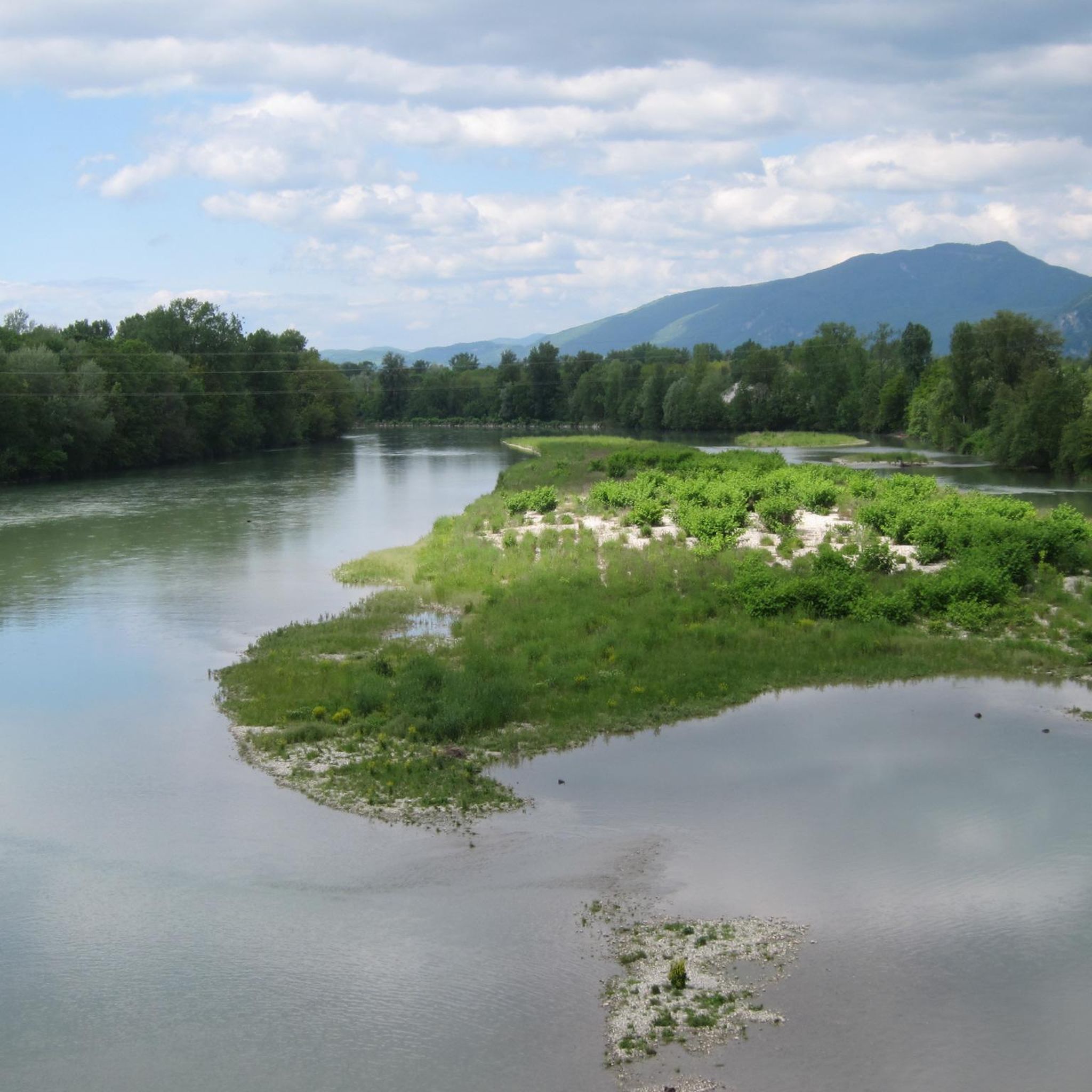
Yes, the region features several water elements. The Chantillin pond – Chemin des Agouteaux loop from Étang de la Feuillée is an easy route that offers views of the Chantillin pond. Some circuits also follow the Rhône river or traverse the marshes of Vézeronce, providing diverse aquatic scenery.
What are the typical difficulty levels of hikes in this area?
The hiking trails around Saint-Sorlin-De-Morestel primarily range from easy to moderate. Out of over 120 routes, 58 are classified as easy and 63 as moderate, making the area accessible for most hikers. There is only a very small number of difficult routes.
Most popular routes around Saint-Sorlin-De-Morestel
Most popular attractions around Saint-Sorlin-De-Morestel

Get inspired with the komoot mobile app


Explore more
Browse the best Hikes in other regions.
