The best running trails around Villemotier
4.3
(30)
1,536
runners
217
runs
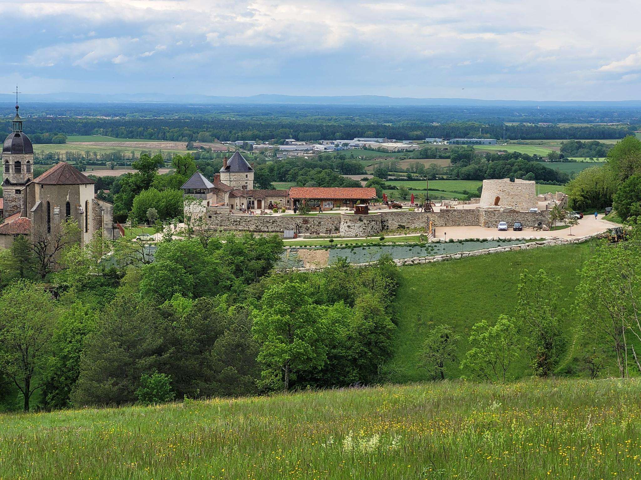
Jogging routes around Villemotier traverse a varied landscape, characterized by natural features such as the Plan d'eau de la Grange du Pin and the nearby Mont Myon. The region offers a network of paths and trails suitable for running, connecting natural areas with historical sites. Terrain ranges from gently undulating paths around water bodies to more challenging trails with elevation changes.
Best jogging routes around Villemotier
- The most popular jogging route is Étang de Bouillon loop from Villemotier, a…
Last updated: July 1, 2026
64
runners
14.7km
01:57
490m
490m
Hard run. Very good fitness required. Sure-footedness, sturdy shoes and alpine experience required.
12
runners
8.46km
00:53
80m
80m
Moderate run. Good fitness required. Mostly paved surfaces. Suitable for all skill levels.

Sign up for free
7
runners
10.7km
01:13
120m
120m
Moderate run. Good fitness required. Mostly paved surfaces. Suitable for all skill levels.
5
runners
6.50km
00:41
80m
80m
Moderate run. Good fitness required. Mostly paved surfaces. Suitable for all skill levels.
5
runners
7.15km
00:45
60m
60m
Moderate run. Good fitness required. Mostly paved surfaces. Suitable for all skill levels.
Get access to more routes and recommendations from other explorers.
Sign up for free
Already have an account?
Our route recommendations are based on thousands of hikes, rides, and runs completed by other people on komoot.
Start today with a free account
Your next adventure awaits.
Login or Signup
Frequently Asked Questions
How many running routes are available in Villemotier?
There are over 200 running routes around Villemotier, catering to various fitness levels. These trails are highly rated by the komoot community, with an average score of 4.3 stars from over 30 reviews, and have been explored by more than 1600 runners.
What kind of terrain can I expect on jogging trails around Villemotier?
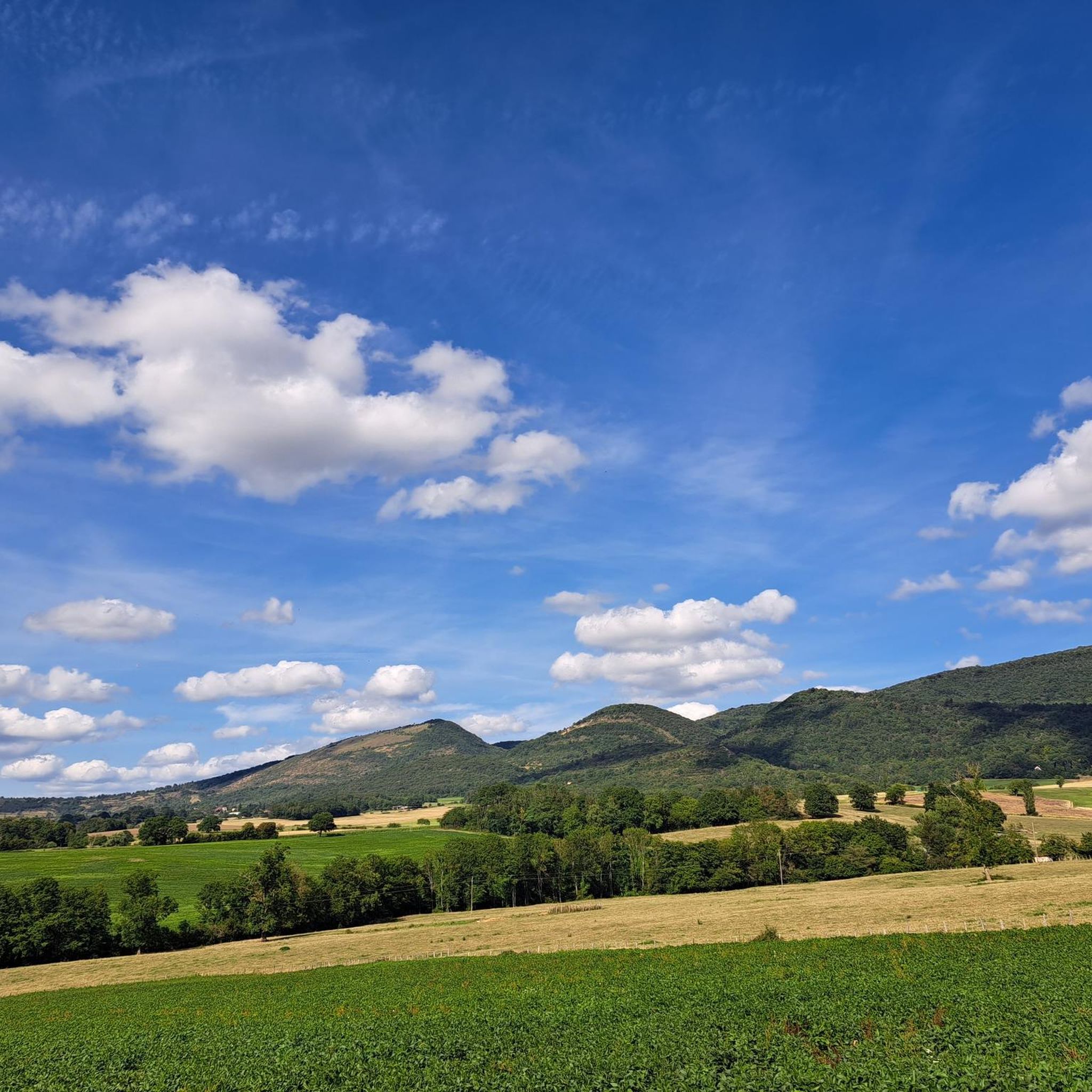
The terrain around Villemotier is quite varied. You'll find gently undulating paths, especially around water bodies like the Étang de Bouillon and the Plan d'eau de la Grange du Pin. There are also more challenging trails with significant elevation changes, particularly in areas leading towards landmarks like Mont Myon, which offers panoramic views.
Are there any easy running routes suitable for beginners in Villemotier?
Yes, Villemotier offers 14 easy running routes perfect for beginners or those looking for a more relaxed run. These typically feature flatter terrain and shorter distances, allowing for a comfortable introduction to the area's natural beauty.
Can I find circular running routes in Villemotier?
Absolutely. Many of the running routes in Villemotier are circular, allowing you to start and finish at the same point without retracing your steps. An example is the Running loop from Marboz, which is a moderate 5.1 km trail.
Are there any scenic running routes with historical landmarks?
Yes, several routes combine natural beauty with historical interest. For instance, the The Pine Barn loop from Carisse offers a pleasant run near The Pine Barn, while other trails might pass by sites like Andelot Castle, adding a cultural dimension to your run.
What are some points of interest or attractions I might see while jogging?
While jogging around Villemotier, you can encounter several interesting points. You might pass by the recreational area of The Pine Barn, enjoy views from Mont Myon, or even spot historical structures like Andelot Castle. The varied landscape ensures a mix of natural and historical sights.
Are the running trails in Villemotier suitable for families?
Many of the easier and moderate routes around Villemotier are suitable for families, especially those that are shorter and have less elevation gain. The paths around the Plan d'eau de la Grange du Pin, for example, are generally flat and offer a pleasant environment for a family run or walk.
What is the best time of year to go running in Villemotier?
Villemotier is enjoyable for running throughout much of the year. Spring and autumn offer pleasant temperatures and beautiful scenery with changing foliage. Summer is also great, especially for runs around water bodies or in shaded areas. Even winter can be suitable, though some trails might require more appropriate footwear due to potential mud or frost.
Are there any running routes that offer good views?
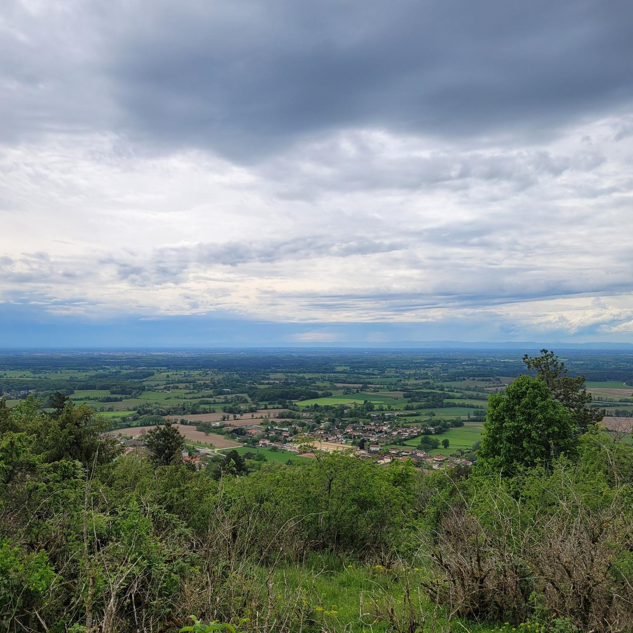
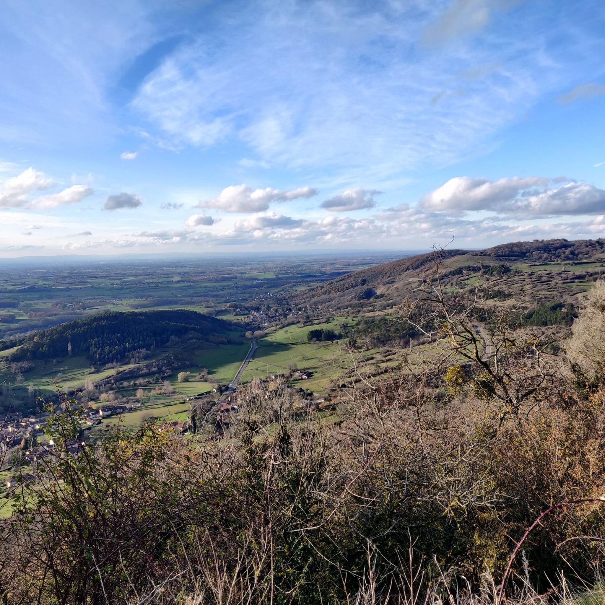
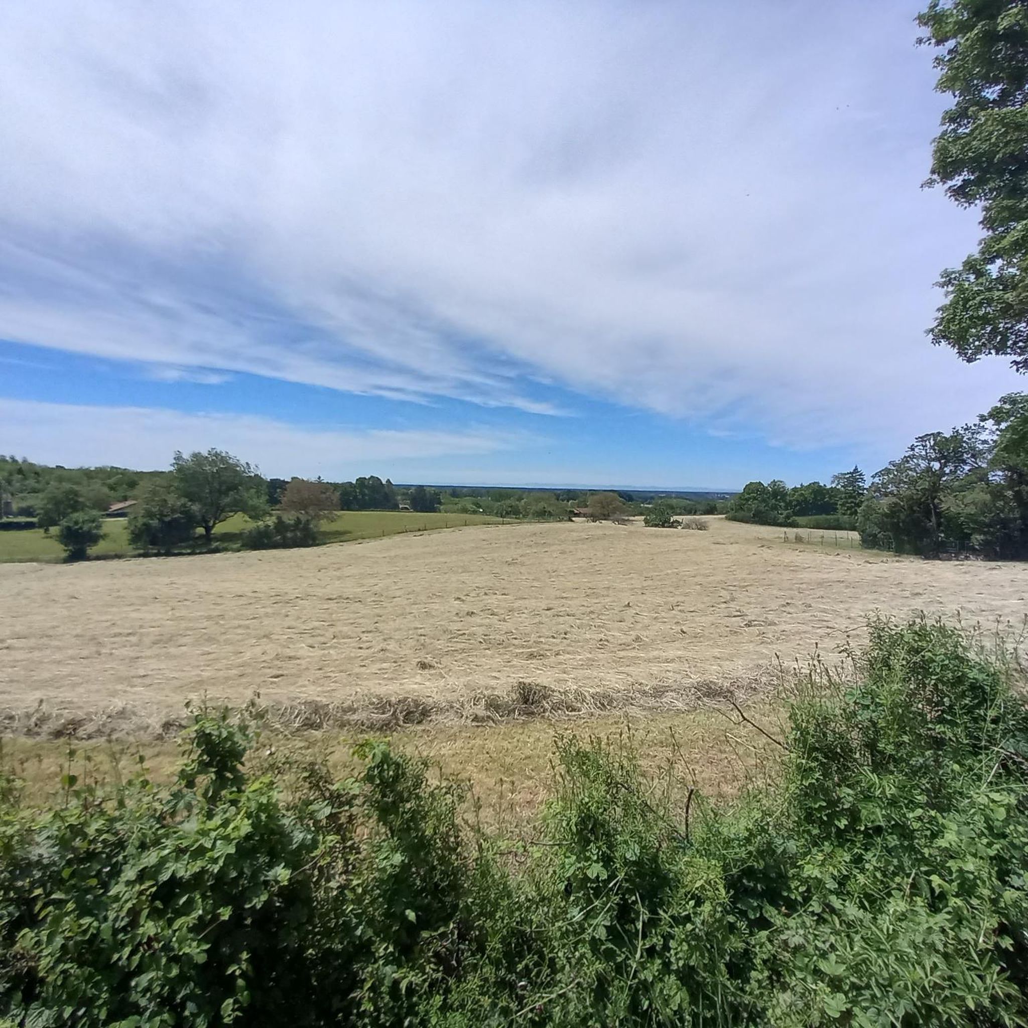
Yes, for panoramic views, consider routes that ascend towards Mont Myon. Its summit provides expansive vistas of the surrounding Ain department. Many trails also offer scenic views of the varied countryside, including forests, fields, and water features.
Where can I find parking for the running trails in Villemotier?
Parking availability varies by trailhead. For routes starting in or near villages like Villemotier, Marboz, or Bény, you can often find public parking areas. For specific routes, it's advisable to check the route details on komoot, as community members often provide tips on parking locations.
Are dogs allowed on the running trails in Villemotier?
Generally, dogs are welcome on many of the outdoor trails in the Villemotier region, provided they are kept under control, ideally on a leash, and that owners clean up after them. It's always a good idea to check local signage for any specific restrictions in certain natural reserves or private areas.
What is the average difficulty of running routes in Villemotier?
The majority of running routes in Villemotier are classified as moderate, accounting for 129 out of 208 routes. This means they typically involve some elevation changes and varied terrain, offering a good challenge for regular runners. There are also 14 easy routes and 65 difficult routes for those seeking less or more intensity.
Most popular attractions around Villemotier

Get inspired with the komoot mobile app


Explore more
Browse the best Running Trails & Routes in other regions.
