The best cycling routes around Ceyzériat
4.3
(89)
850
riders
38
rides
Touring cycling around Ceyzériat is characterized by its location at the foothills of the Jura Massif within the Revermont region, offering varied terrain. The landscape features rolling hills, the tranquil Ain River valley, and a mix of roads, tarmac surfaces, and dedicated cycle paths. This area provides diverse elevation gains, from gentle ascents to challenging climbs like the Col du Mont July, catering to different cycling preferences.
Best touring cycling routes around Ceyzériat
- The most popular touring cycling route is…
Last updated: August 21, 2026
5.0
(1)
36
riders
32.3km
02:50
770m
770m
Hard bike ride. Very good fitness required. You may need to push your bike for some segments of this route.
4.7
(6)
20
riders
37.0km
02:14
230m
230m
Moderate bike ride. Good fitness required. Mostly paved surfaces. Suitable for all skill levels.

Sign up for free
3.0
(1)
17
riders
53.0km
03:21
580m
580m
Hard bike ride. Very good fitness required. Mostly paved surfaces. Suitable for all skill levels.
3.0
(2)
12
riders
47.9km
04:58
1,420m
1,420m
Hard bike ride. Very good fitness required. You may need to push your bike for some segments of this route.
11
riders
35.4km
02:39
240m
240m
Moderate bike ride. Good fitness required. Mostly paved surfaces. Suitable for all skill levels.
Get access to more routes and recommendations from other explorers.
Sign up for free
Already have an account?
Our route recommendations are based on thousands of hikes, rides, and runs completed by other people on komoot.
Start today with a free account
Your next adventure awaits.
Login or Signup
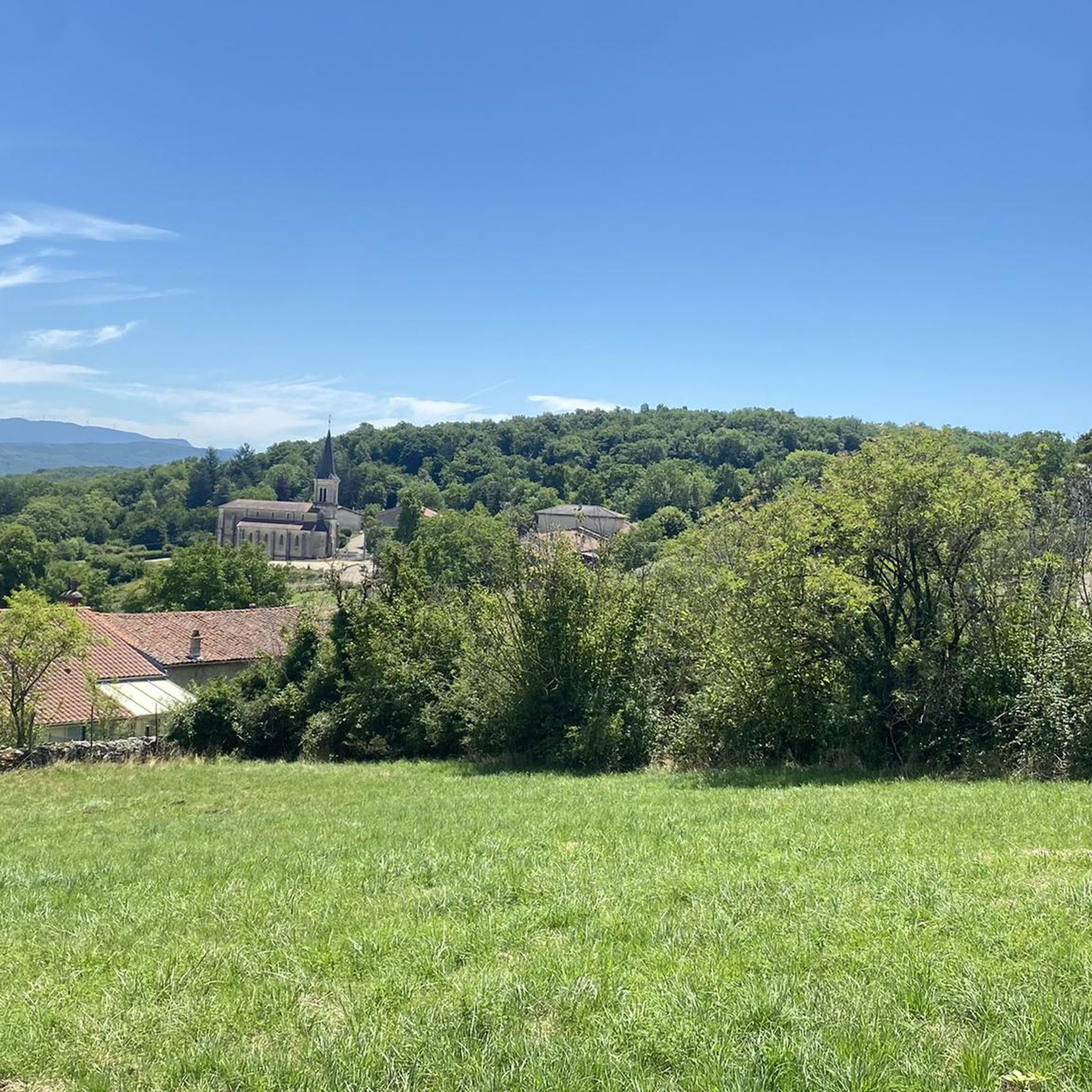
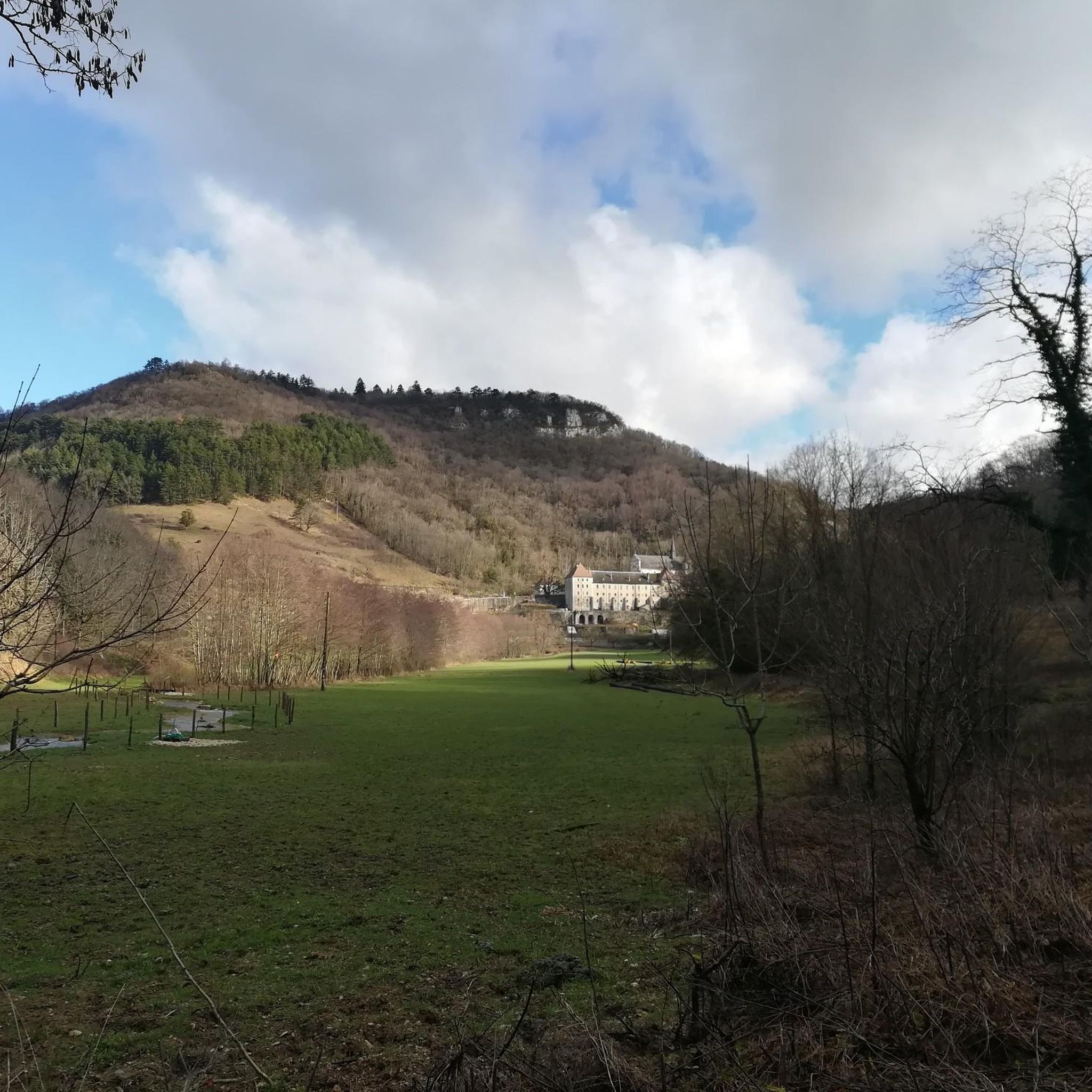
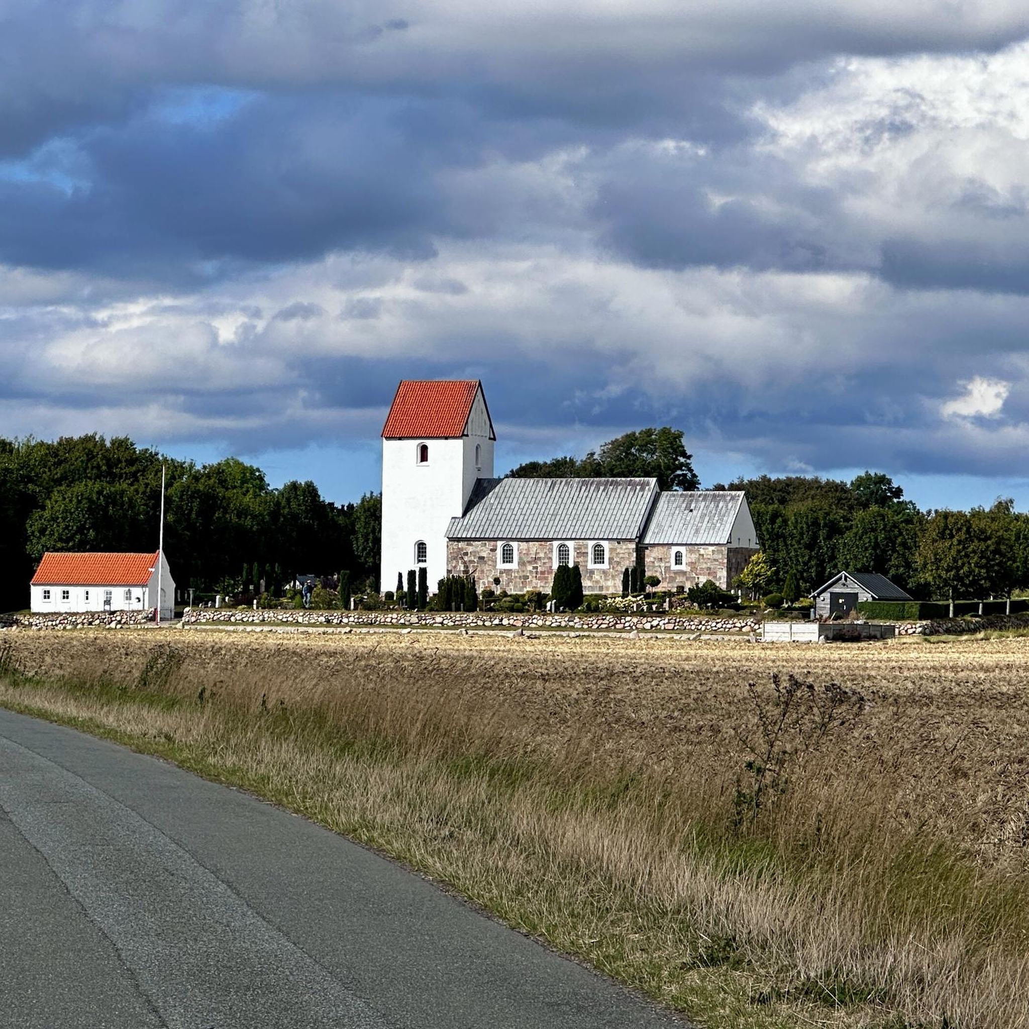
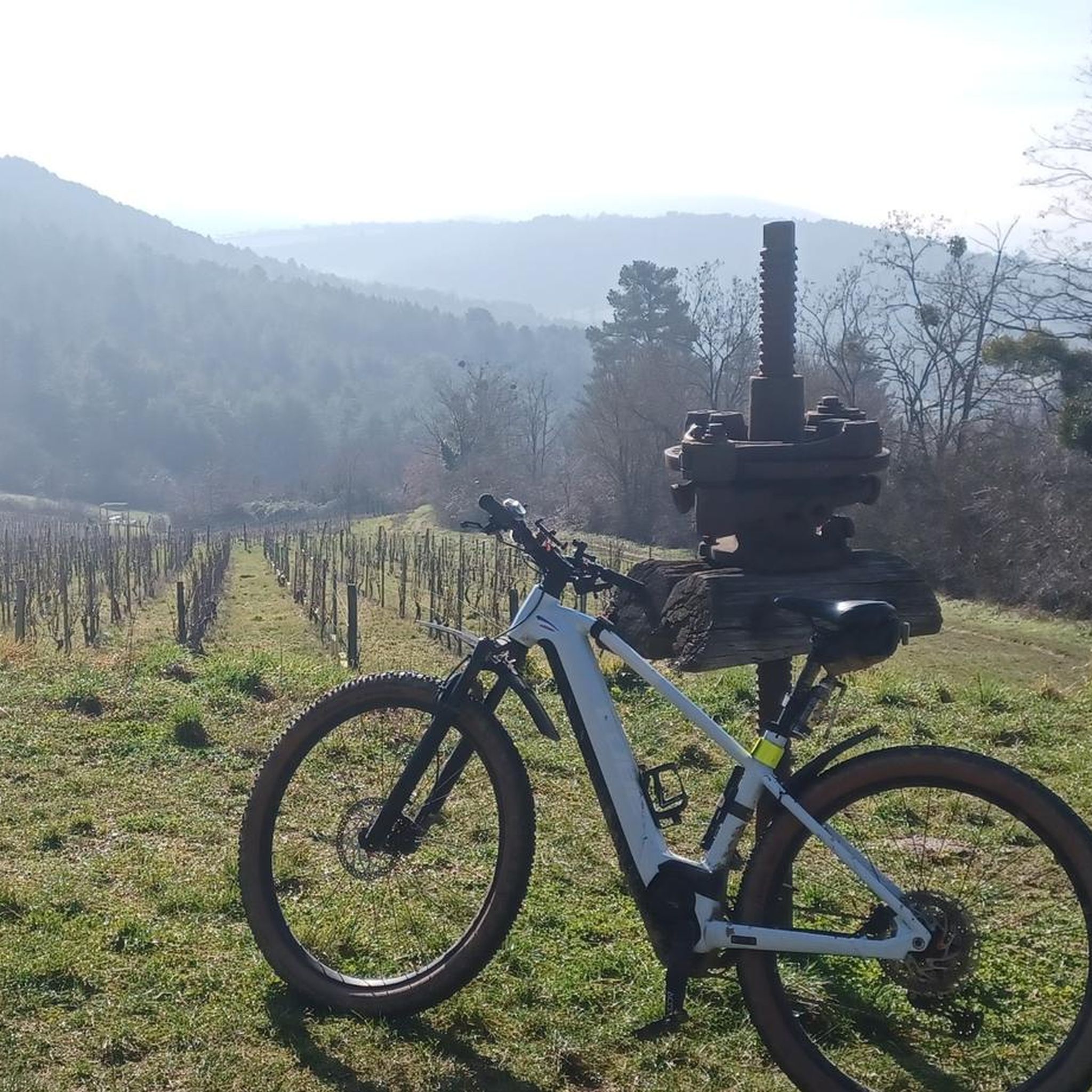

Tips from the Community

A very beautiful monastery complex from the Middle Ages
0
0

Located in the hamlet of Thioles, near this river, the menhir generated the toponym « Pierre fiche », without ambiguity. This name, common throughout France, should be compared to « Pierrefitte » or other phrases such as pierre fichée, pierre plantée, pierre levée, pierre longue… Erected on the edge of a cornfield, the menhir measures 3.80 meters in height, about 0.50 meters in thickness and 1.30 meters at its widest. The stone is said to be sunk several meters into the ground. Nothing allows us to confirm the dating of the Simandre menhir, but its shape brings it closer to Burgundian examples dated to the Middle Neolithic (4200 to 3600 BC). Ancient mentions from the 12th century reveal the existence of two other menhirs, neighbours of Pierre Fiche but which were reportedly removed in the 18th century. It could therefore be not an isolated monument, but part of an alignment or a more complex ensemble. There is also mention of a third menhir near the nearby mill. And also of a dolmen that disappeared long ago, near the village of Chavannes-sur-Suran, and whose tiled roof would have given its name to the hamlet of Thioles… In Simandre, it is told that passing fairies planted three cattails in a field which turned into enormous stones… The menhir has also become a place of popular belief linked to fertility: couples wishing to have a child would rub themselves against the stone and pilgrims would scrape it to swallow the dust. The oldest monument classified as a historical monument in the department (March 6, 1888), the megalith is private property but remains easily visible from a hiking trail. https://patrimoines.ain.fr/n/menhir-de-pierre-fiche-a-simandre-sur-suran/n:320
0
0

The Royal Abbey of Brou was built at the beginning of the Renaissance at the request of Margaret of Austria (1480-1530), daughter of the Emperor, Duchess of Savoy, and Regent of the Netherlands. The church was intended to forever commemorate her love for her late husband, Philibert the Fair. Philibert II of Savoy died in 1504 at the Château de Pont-d'Ain at the young age of just 24 from the effects of a cold he caught while hunting.
0
0

Nice view not far from Bouvent Park
0
0

very beautiful waterfall near Bourg-en-Bresse
2
0


good little walk, my dog, it's a good way to let off some steam
0
0
Frequently Asked Questions
How many touring cycling routes are available around Ceyzériat?
There are over 40 touring cycling routes around Ceyzériat, offering a wide range of options for different skill levels and preferences. These routes are highly rated by the komoot community, with an average score of 4.3 stars from over 80 reviews.
What kind of terrain can I expect when cycling in Ceyzériat?
Ceyzériat is situated at the foothills of the Jura Massif within the Revermont region, so you can expect varied terrain. Routes feature rolling hills, the tranquil Ain River valley, and a mix of roads, tarmac surfaces, and dedicated cycle paths. You'll find everything from moderate paths to challenging climbs, including the notable Col du Mont July.
Are there any challenging routes for experienced touring cyclists?
Yes, Ceyzériat offers several challenging routes. For instance, the ascent of Col du Mont July is a significant cycling attraction, known for its difficulty and panoramic views. A route like Vallière Waterfall – Notre Dame des Conches loop from Ceyzériat is rated difficult, featuring significant elevation gain through the Jura foothills.
Are there family-friendly touring cycling routes in Ceyzériat?
Yes, there are routes suitable for families. While some routes involve significant climbs, others incorporate greenways and offer more moderate terrain. For example, the Greenway to Parc de Bouvent – Vallière Waterfall loop from Ceyzériat is a moderate path that includes greenways, making it a good option for a less strenuous ride.
What natural landmarks or scenic viewpoints can I discover along the cycling routes?
The region is rich in natural beauty. You can cycle past the picturesque Vallière Waterfall, or enjoy superb 180° panoramas from the Roches de Cuiron. The Notre Dame des Conches – Vallière Waterfall loop from Ceyzériat is a difficult route that allows you to experience some of these natural features.
Are there any historical or cultural attractions accessible by bike?
Absolutely. You can incorporate visits to historical sites like the Ruins of Jasseron Castle, a 13th-century structure that once dominated the Bresse plain. The Montfleur – Ruins of Jasseron Castle loop from Ceyzériat is a great way to explore this area. Additionally, the impressive Cize-Bolozon Viaduct, a railway road bridge over the Ain River, can be a feature on your itinerary. Ceyzériat is also conveniently located near Bourg-en-Bresse, home to the renowned Royal Monastery of Brou.
Are there circular touring cycling routes available?
Yes, many of the touring cycling routes around Ceyzériat are designed as loops, allowing you to start and end your journey in the same location. For example, the Passable dirt path – Shipyard loop from Ceyzériat offers a moderate circular experience.
What is the best time of year for touring cycling in Ceyzériat?
The region's diverse landscapes are enjoyable across different seasons. Spring and autumn generally offer pleasant temperatures and beautiful scenery. While specific weather conditions can vary, the area is well-suited for cycling for much of the year, with routes varying in length and elevation gain to suit different conditions.
Is public transport available to access the cycling routes, especially for those with bikes?
While specific details on public transport for bikes are not provided, Ceyzériat's location near Bourg-en-Bresse suggests reasonable accessibility. It's advisable to check local public transport services for their bike carriage policies and routes to trailheads.
Are there any cafes or accommodations along the cycling routes?
The region around Ceyzériat, being a popular outdoor destination, likely offers various amenities. While specific cafes or accommodations directly on every route are not detailed, the proximity to towns like Ceyzériat and Bourg-en-Bresse means you'll find options for refreshments and overnight stays. It's recommended to plan your route and check for services in nearby villages.
What do other touring cyclists enjoy most about cycling in Ceyzériat?
The area is highly rated by the komoot community, with an average score of 4.3 stars. Reviewers often praise the varied terrain, from the tranquil Ain River valley to the challenging Jura foothills, and the mix of roads, tarmac, and dedicated cycle paths. The scenic beauty, including features like the Vallière Waterfall and panoramic viewpoints, is also frequently highlighted.
Most popular routes around Ceyzériat
Most popular attractions around Ceyzériat

Get inspired with the komoot mobile app


Explore more
Browse the best Cycling routes in other regions.
