The best road cycling routes around Revonnas
4.4
(183)
6,006
riders
502
rides
Road cycling routes around Revonnas offer varied terrain within the Ain department of France. The region features distinct climbs, such as the Côte de Revonnas, which provides elevation gain for cyclists. It also benefits from access to the ViaRhôna cycle route, characterized by diverse landscapes and minimal altitude differences in its 55-kilometer section through Ain. This combination provides both challenging ascents and more leisurely paths.
Best road cycling routes around Revonnas
- The most popular road cycling route is Simandre-sur-Suran –…
Last updated: July 4, 2026
3.7
(3)
66
riders
59.8km
02:49
680m
680m
Moderate road ride. Good fitness required. Some segments of this route may be unpaved and difficult to ride.
4.0
(1)
88
riders
27.8km
01:18
220m
220m
Moderate road ride. Great for any fitness level. Some segments of this route may be unpaved and difficult to ride.

Sign up for free
4.8
(4)
25
riders
31.7km
01:35
390m
390m
Moderate road ride. Good fitness required. Some segments of this route may be unpaved and difficult to ride.
24
riders
58.3km
02:53
890m
890m
Moderate road ride. Good fitness required. Mostly well-paved surfaces and easy to ride.
23
riders
56.4km
02:59
990m
990m
Hard road ride. Very good fitness required. Mostly well-paved surfaces and easy to ride.
Get access to more routes and recommendations from other explorers.
Sign up for free
Already have an account?
Our route recommendations are based on thousands of hikes, rides, and runs completed by other people on komoot.
Start today with a free account
Your next adventure awaits.
Login or Signup

Tips from the Community

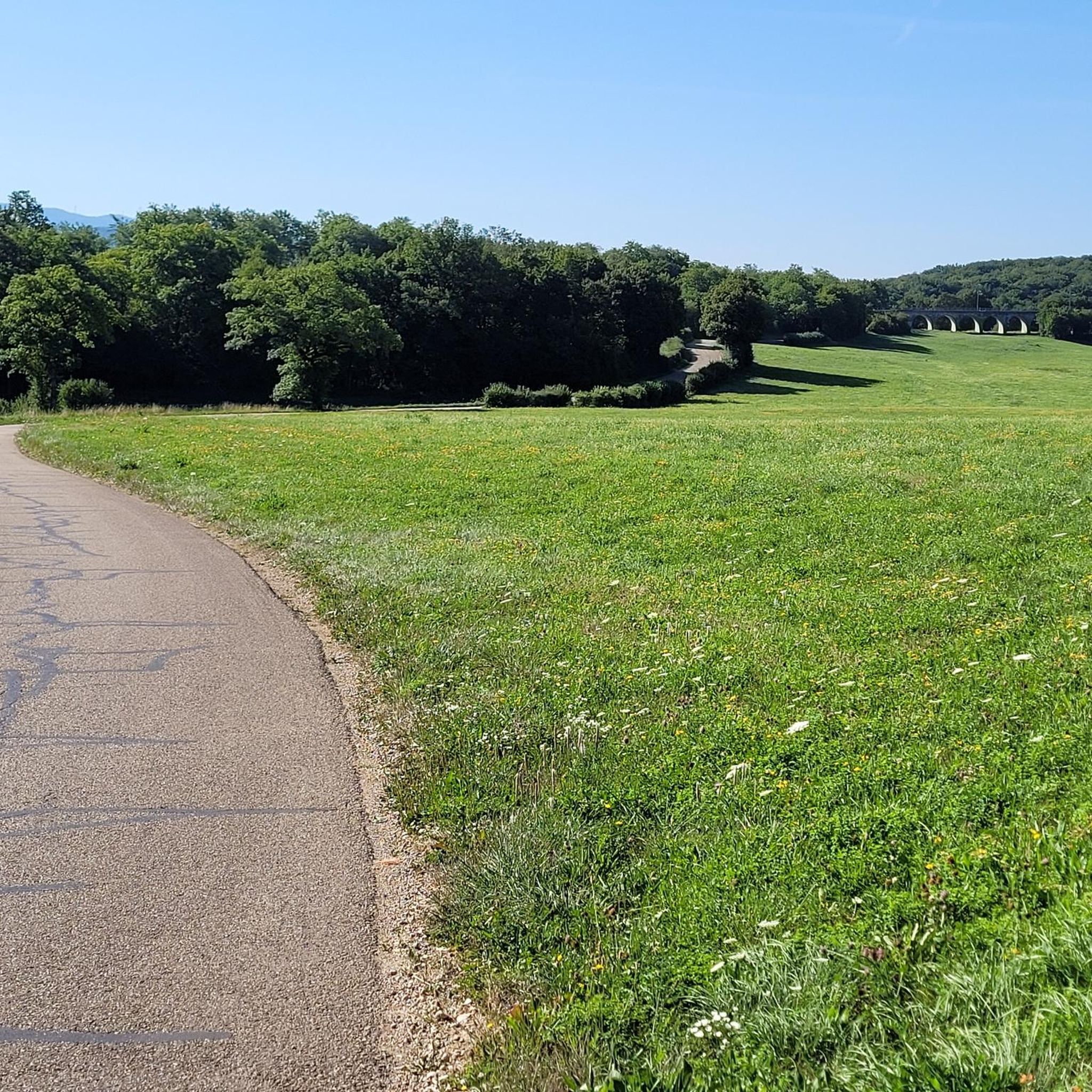
pretty little stone viaduct with 2 superimposed lanes, one for cars with 6 arches and one for the train with 11 arches. Atypical.
0
0
Located in the hamlet of Thioles, near this river, the menhir generated the toponym « Pierre fiche », without ambiguity. This name, common throughout France, should be compared to « Pierrefitte » or other phrases such as pierre fichée, pierre plantée, pierre levée, pierre longue… Erected on the edge of a cornfield, the menhir measures 3.80 meters in height, about 0.50 meters in thickness and 1.30 meters at its widest. The stone is said to be sunk several meters into the ground. Nothing allows us to confirm the dating of the Simandre menhir, but its shape brings it closer to Burgundian examples dated to the Middle Neolithic (4200 to 3600 BC). Ancient mentions from the 12th century reveal the existence of two other menhirs, neighbours of Pierre Fiche but which were reportedly removed in the 18th century. It could therefore be not an isolated monument, but part of an alignment or a more complex ensemble. There is also mention of a third menhir near the nearby mill. And also of a dolmen that disappeared long ago, near the village of Chavannes-sur-Suran, and whose tiled roof would have given its name to the hamlet of Thioles… In Simandre, it is told that passing fairies planted three cattails in a field which turned into enormous stones… The menhir has also become a place of popular belief linked to fertility: couples wishing to have a child would rub themselves against the stone and pilgrims would scrape it to swallow the dust. The oldest monument classified as a historical monument in the department (March 6, 1888), the megalith is private property but remains easily visible from a hiking trail. https://patrimoines.ain.fr/n/menhir-de-pierre-fiche-a-simandre-sur-suran/n:320
0
0

Pretty little viaduct which is a real must-see!
0
0
Magnificent viaduct, nice spot for an outing in Ain.
0
0

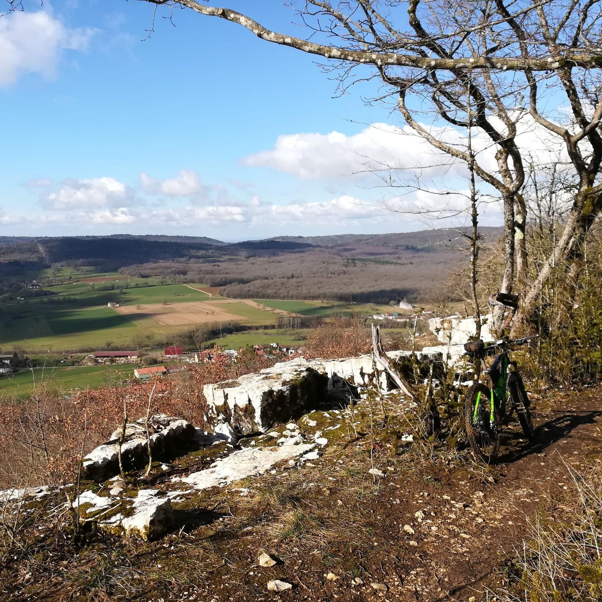
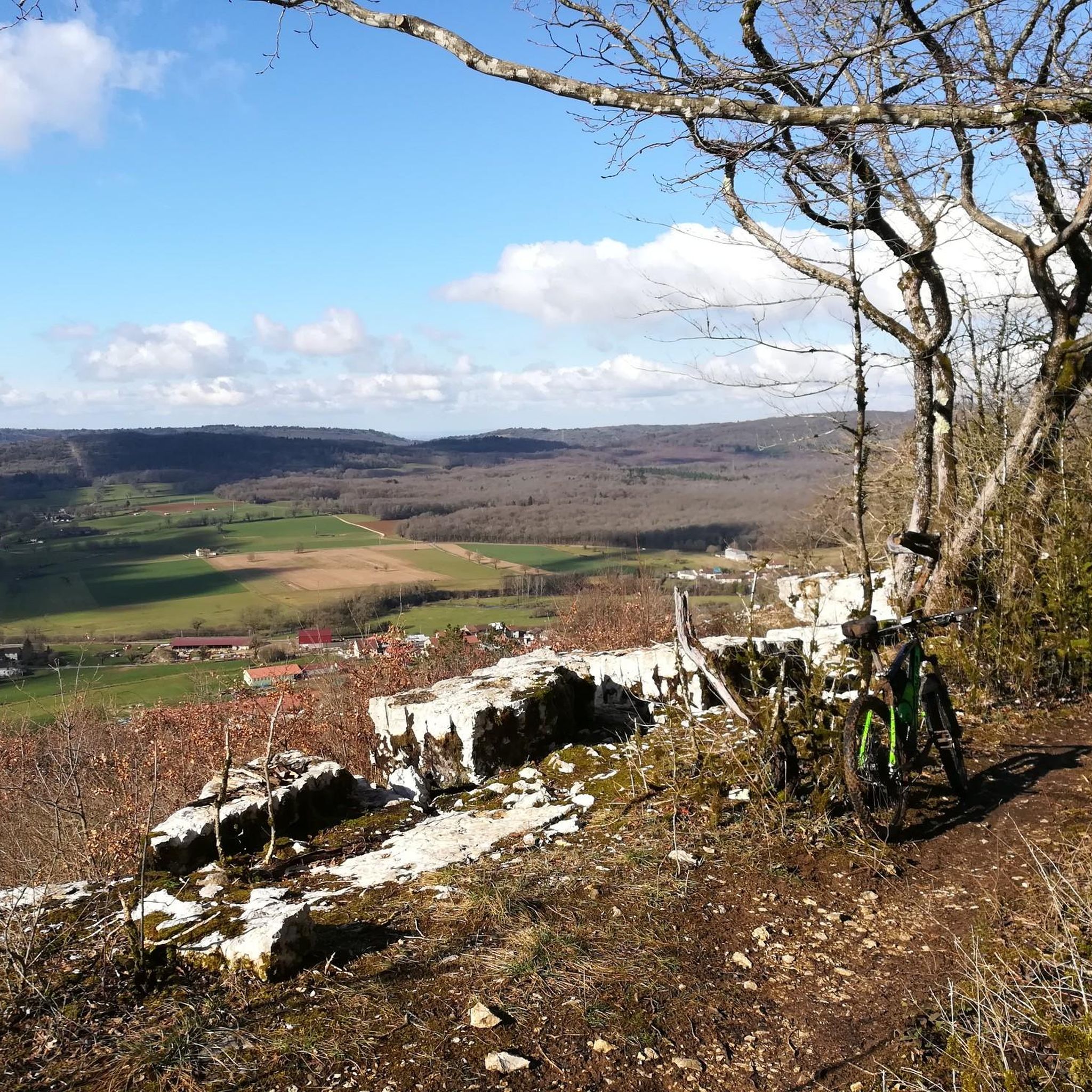
Nice view not far from Bouvent Park
0
0


Definitely worth a visit, you simply have to include this double-decker bridge in your itinerary.
0
0
Frequently Asked Questions
What kind of terrain can I expect on road cycling routes around Revonnas?
Road cycling around Revonnas offers a diverse landscape. You'll find distinct climbs, such as the challenging Côte de Revonnas with its varying gradients, providing elevation gain. Additionally, the region benefits from access to the ViaRhôna cycle route, which features sections with minimal altitude differences, offering more leisurely paths through diverse landscapes.
Are there road cycling routes suitable for beginners or those looking for an easier ride?
Yes, Revonnas offers options for all skill levels. There are over 60 easy road cycling routes available. For a moderate yet scenic option, consider the Lake Bouvent – Revermont road trip loop from Ceyzériat, which is 17.3 miles (27.8 km) long and takes about 1 hour 18 minutes to complete.
What are some options for more advanced or challenging road cycling routes?
For experienced cyclists seeking a challenge, Revonnas has over 115 difficult routes. A notable option is the Ain Valley – Cize Viaduct loop from Ceyzériat, a difficult 47.8 miles (76.9 km) path that includes substantial climbing through the scenic Ain Valley.
Can I find long-distance road cycling routes in the Revonnas area?
Absolutely. The region provides numerous opportunities for longer rides. For instance, the Simandre-sur-Suran – Singletrail loop from Ceyzériat covers 37.8 miles (60.8 km) with significant elevation gain, making it a great option for a longer excursion.
Are there any circular road cycling routes available?
Many routes in the Revonnas area are designed as loops, allowing you to start and finish in the same location. Examples include the Lake Bouvent – Revermont road trip loop from Ceyzériat and the Cize Viaduct – Cize-Bolozon Viaduct loop from Ceyzériat.
What do other road cyclists say about the routes in Revonnas?
The road cycling routes around Revonnas are highly regarded by the komoot community, with an average score of 4.4 stars from over 170 reviews. More than 5,400 road cyclists have explored the varied terrain, often praising the distinct climbs and access to extensive regional cycle networks.
Are there any natural attractions or viewpoints to see along the road cycling routes?
Yes, the region offers several natural points of interest. You might encounter the Jarbonnet Rocks, which offer scenic views. Some routes, like the Vallière Waterfall – Rignat loop from Ceyzériat, even pass by natural features like the Vallière Waterfall.
What historical or cultural landmarks can I visit while road cycling near Revonnas?
The area around Revonnas is rich in history. You can integrate visits to landmarks such as the Brou Abbey in Bourg-en-Bresse or the Ruins of Jasseron Castle into your longer rides. The impressive Cize-Bolozon Viaduct is also a notable sight along some routes.
Are there any unique natural monuments to discover in the Revonnas area?
Beyond general scenery, the region features interesting natural monuments. These include the Dinosaur Footprints of Villette, the Ondulated Rock Formation, and the historic Sully Lime Tree, offering unique points of interest during your rides.
How many road cycling routes are available around Revonnas?
There are nearly 500 road cycling routes available around Revonnas, offering a wide variety of options for different skill levels and preferences. This includes over 60 easy routes, more than 300 moderate routes, and over 115 difficult routes.
What is the best time of year for road cycling in Revonnas?
While specific weather data isn't provided, the varied terrain and access to regional networks suggest that spring and autumn would likely offer pleasant temperatures for both challenging climbs and more leisurely rides. Summer can also be enjoyable, though some climbs might be more strenuous in warmer conditions.
Are there any specific climbs that road cyclists should know about in Revonnas?
Yes, the **Côte de Revonnas** is a notable climb in the area. It spans approximately 1.2 miles (1.9 kilometers) with an average gradient of 3.3%, gaining 209 feet (64 meters) in elevation. While mostly manageable, it includes sections with steeper inclines, reaching up to 5.6%, providing a satisfying test for cyclists.
Most popular attractions around Revonnas

Get inspired with the komoot mobile app


Explore more
Browse the best Road cycling routes in other regions.
