The best walks and hikes around Peyzieux-Sur-Saône
4.3
(155)
923
hikers
86
hikes
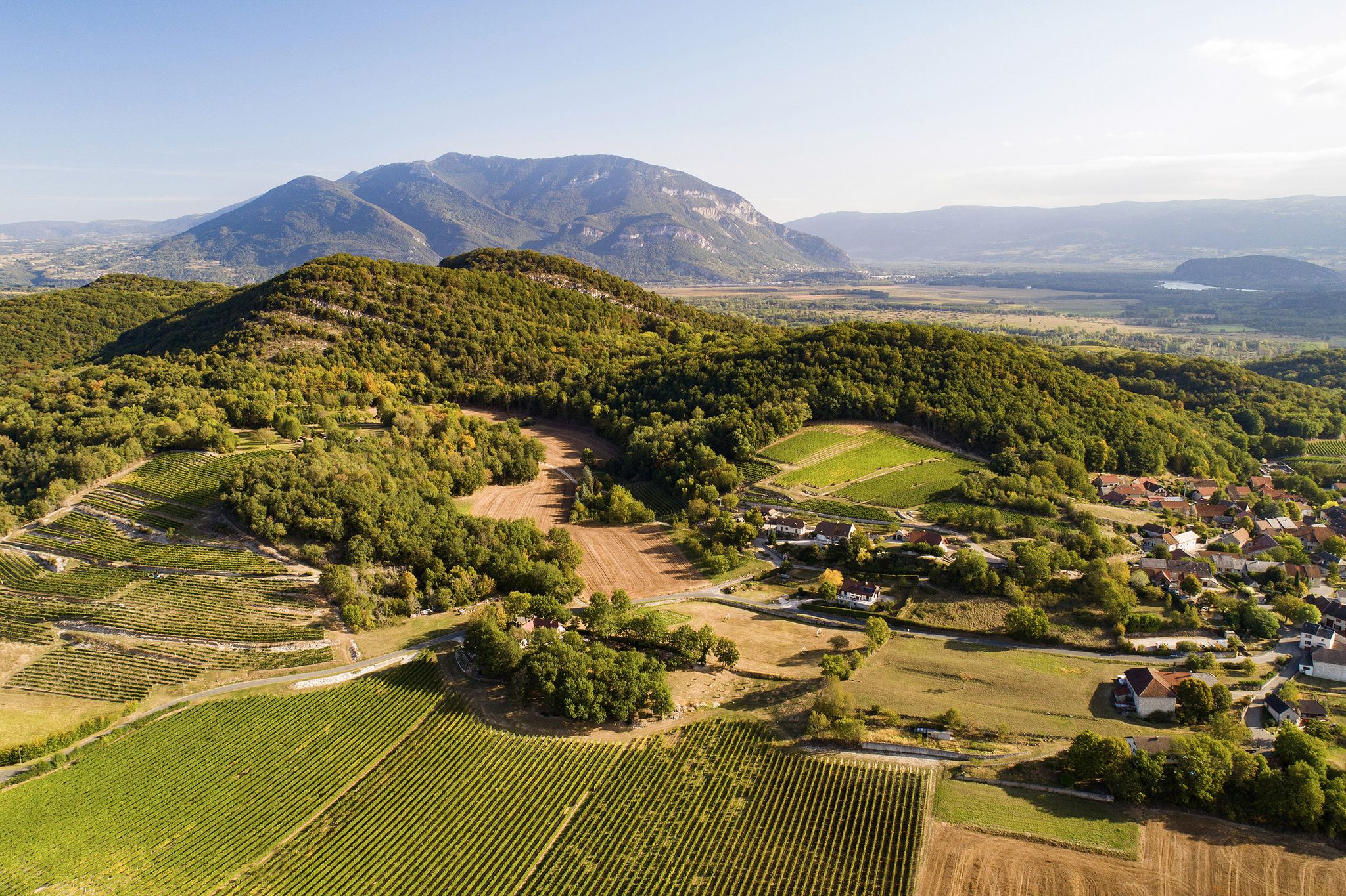
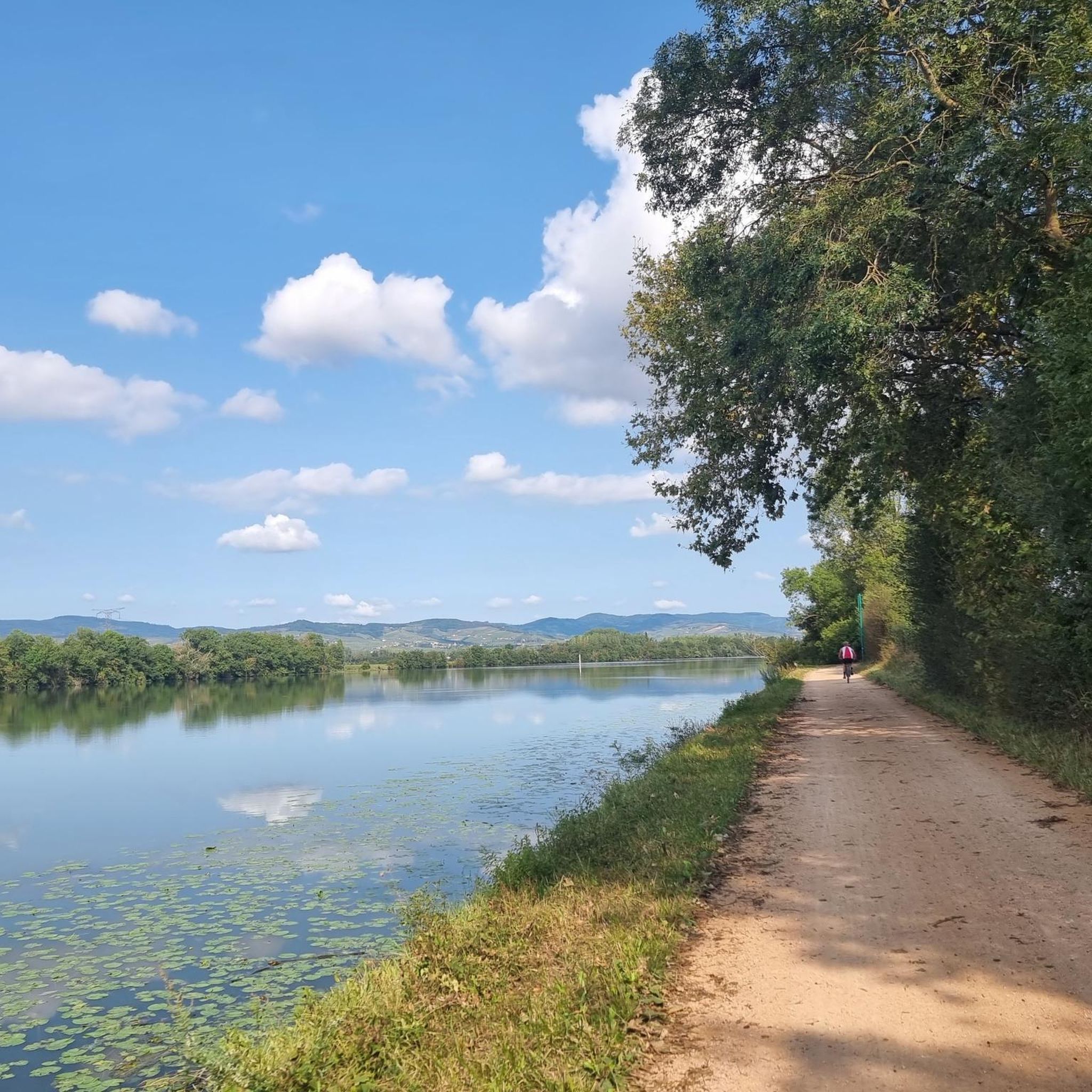
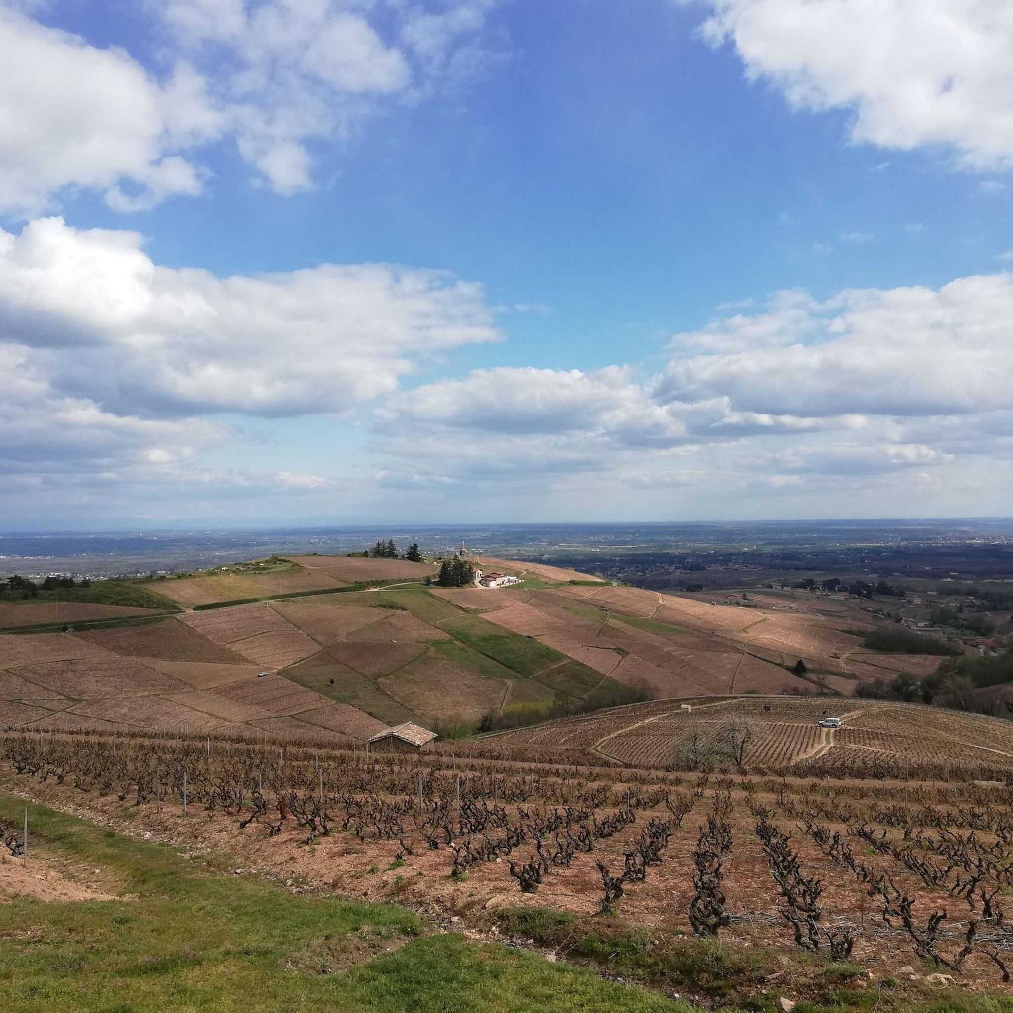
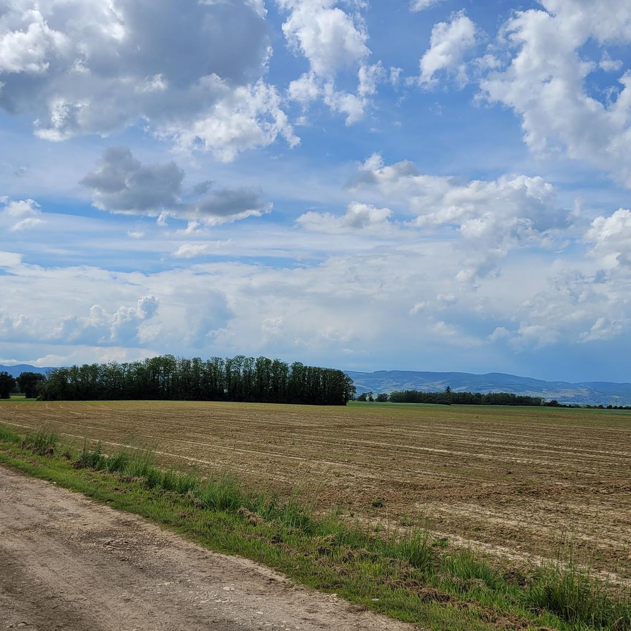
Hiking around Peyzieux-Sur-Saône offers diverse landscapes, from the Saône riverbanks to agricultural fields and woodlands. The region is characterized by its position on the left bank of the Saône, providing accessible trails along the "Chemin de halage" (towpath) and through protected natural areas. Hikers can experience the interplay of land and water in the Val de Saône, with views extending to the Monts du Beaujolais. This area features a mix of flat river plains and gently rolling terrain.
Best hiking…
Last updated: July 11, 2026
5.0
(1)
14
hikers
11.9km
03:09
120m
120m
Moderate hike. Good fitness required. Easily-accessible paths. Suitable for all skill levels.
9
hikers
8.36km
02:09
40m
40m
Moderate hike. Good fitness required. Easily-accessible paths. Suitable for all skill levels.

Sign up for free
5.0
(3)
7
hikers
4.58km
01:14
60m
60m
Easy hike. Great for any fitness level. Easily-accessible paths. Suitable for all skill levels.
3.0
(1)
18
hikers
5.66km
01:31
70m
70m
Easy hike. Great for any fitness level. Easily-accessible paths. Suitable for all skill levels.
5.0
(2)
9
hikers
15.5km
03:55
30m
30m
Moderate hike. Good fitness required. Easily-accessible paths. Suitable for all skill levels.
Get access to more routes and recommendations from other explorers.
Sign up for free
Already have an account?
Our route recommendations are based on thousands of hikes, rides, and runs completed by other people on komoot.
Start today with a free account
Your next adventure awaits.
Login or Signup


Other adventures around Peyzieux-Sur-Saône

Tips from the Community

Take the S1 on the right, behind the church to join the given route, continue either on the S1 or like us on S0 to join the recorded route
0
0

Ideally located on the banks of the Saône, north of Lyon and close to the Beaujolais hillsides, Guéreins is a very pleasant village.
0
0

Frequently Asked Questions
How many hiking trails are available in Peyzieux-Sur-Saône?
Peyzieux-Sur-Saône offers a wide selection of hiking routes, with over 70 trails available. These range from easy strolls to more moderate and challenging options, catering to various fitness levels.
What kind of terrain can I expect on hikes around Peyzieux-Sur-Saône?
The terrain around Peyzieux-Sur-Saône is quite diverse. You'll find flat, scenic paths along the Saône river's "Chemin de halage" (towpath), tranquil routes through agricultural lands and meadows, and shaded trails in local woodlands. Many routes also offer distant views of the Monts du Beaujolais, providing a mix of river plains and gently rolling hills.
Are there any easy or beginner-friendly hiking routes in the area?
Yes, Peyzieux-Sur-Saône has over 30 easy hiking routes perfect for beginners or those looking for a relaxed walk. A good example is the Guéreins loop from Guéreins, which is 2.9 miles (4.6 km) and typically takes just over an hour to complete, leading through riverside areas and local villages.
What are the best options for a circular walk in Peyzieux-Sur-Saône?
Many routes in the region are circular, allowing you to start and end at the same point. For a moderate circular hike, consider the Loop in Montceaux 01090 loop from Montceaux, a 7.4-mile (11.9 km) trail exploring varied countryside. Another excellent option is the Étang Prêle loop from Chaneins, a 5.2-mile (8.4 km) moderate path offering views of local ponds and agricultural landscapes.
Are there any family-friendly hiking trails in Peyzieux-Sur-Saône?
Absolutely. The region offers numerous family-friendly trails, particularly those along the Saône river's towpath, which are generally flat and easy for all ages. Shorter, easy loops like the Guéreins loop from Genouilleux (3.5 miles / 5.6 km) are also great for families.
Can I bring my dog on the hiking trails?
Most trails in the Peyzieux-Sur-Saône area are dog-friendly, especially those through agricultural lands and along the river. However, it's always recommended to keep your dog on a leash, particularly when passing through farmland or protected natural areas, to protect local wildlife and livestock.
What natural features or landmarks can I see while hiking?
Hikers can enjoy the picturesque Saône river and its towpath, which is a significant natural attraction. The region is also known for its protected natural areas, including flooded wet meadows and alluvial woodlands, which are home to diverse plant and animal species. You might also encounter local heritage features like pigeonniers, the Saint Martin church, and a lavoir (washhouse). For specific points of interest, consider visiting the Towpath along the Saône or exploring the nearby Château de Fléchères.
What is the best time of year to go hiking in Peyzieux-Sur-Saône?
Spring and autumn are generally ideal for hiking in Peyzieux-Sur-Saône, offering pleasant temperatures and beautiful scenery. Spring brings blooming wildflowers in the meadows, while autumn showcases vibrant foliage. Summer can be warm, making early morning or late afternoon hikes preferable, especially along shaded riverside paths. Winter hikes are also possible, offering a different, tranquil perspective of the landscape.
Where can I find parking for hiking trailheads?
Parking is generally available in the villages and communes that serve as starting points for many trails, such as Montceaux, Chaneins, and Guéreins. Specific parking information can often be found on individual route descriptions on komoot, or by checking local signage upon arrival.
What do other hikers enjoy most about hiking in Peyzieux-Sur-Saône?
The area is highly rated by the komoot community, with an average score of 4.3 stars from over 100 reviews. Hikers often praise the diverse landscapes, from the peaceful riverside paths to the charming agricultural fields and woodlands, as well as the beautiful views of the Monts du Beaujolais. The well-maintained trails and the opportunity to experience unspoiled nature are also frequently highlighted.
Are there any longer distance hiking options available?
While many local routes are shorter, you can combine trails or explore longer sections of the Saône's towpath for extended walks. For example, the Guéreins – Boat dock loop from Guéreins is a moderate 9.6-mile (15.5 km) route that offers a longer experience along the river.
Most popular routes around Peyzieux-Sur-Saône
Most popular attractions around Peyzieux-Sur-Saône

Get inspired with the komoot mobile app


Explore more
Browse the best Hikes in other regions.
