The best road cycling routes around Sonthonnax-La-Montagne
4.4
(132)
2,925
riders
178
rides
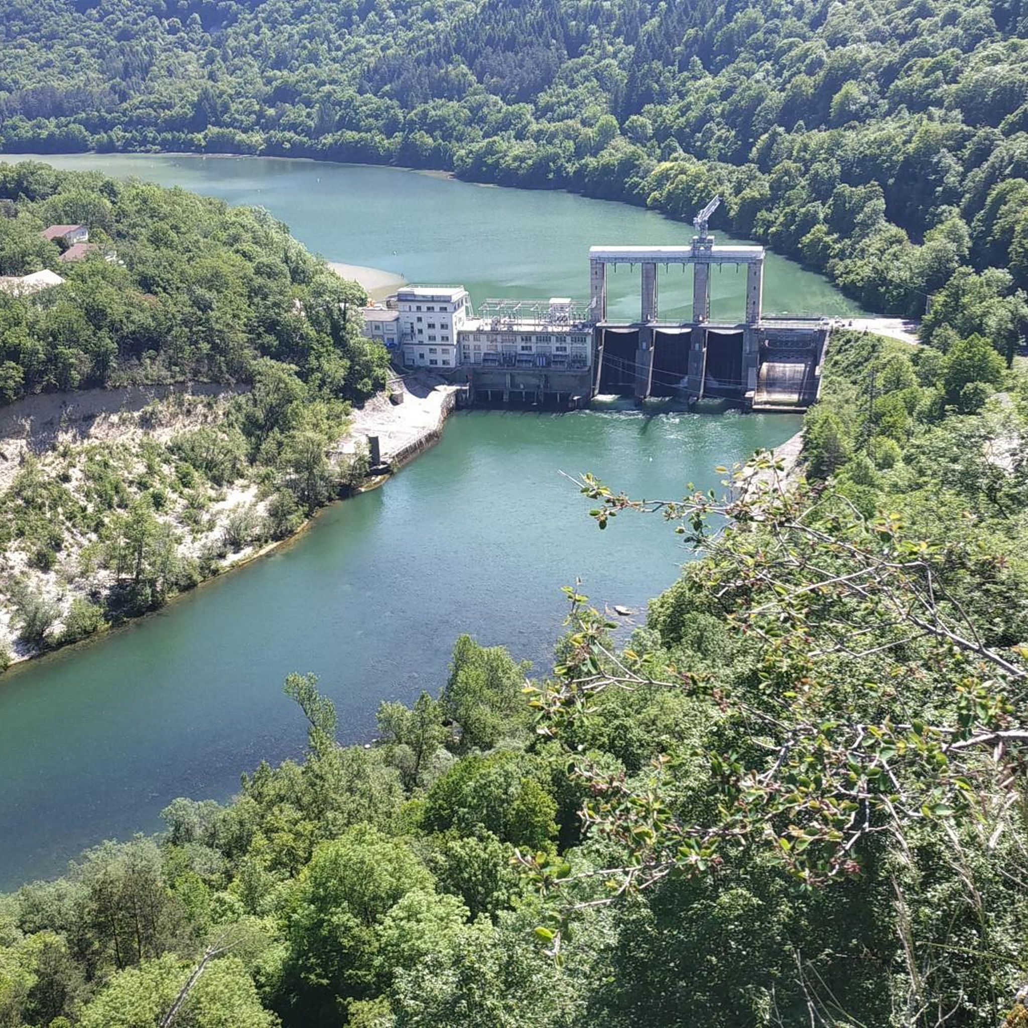
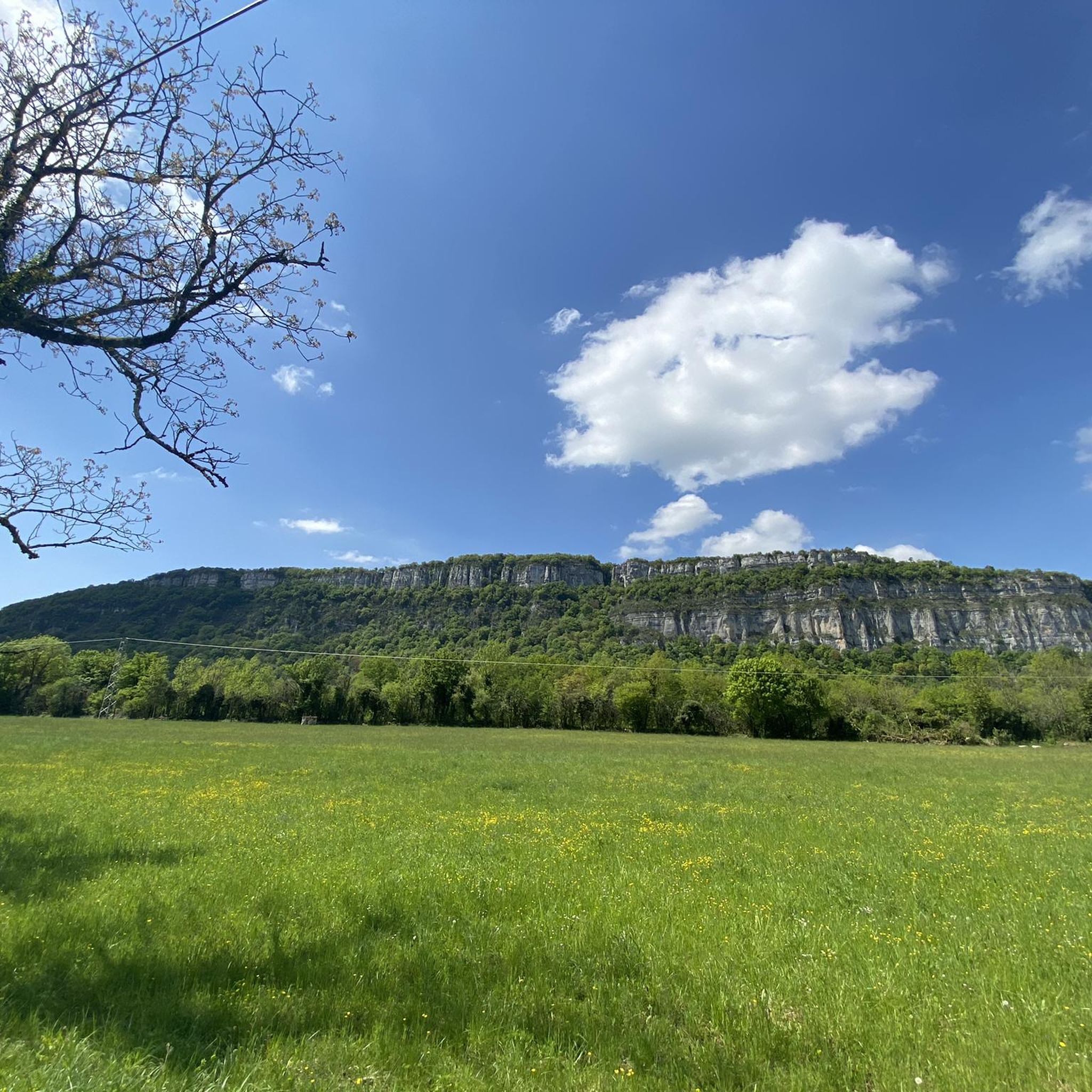
Road cycling routes around Sonthonnax-La-Montagne traverse a rolling plateau that extends the Berthiand mountains, overlooking the Ain River. The region features varied terrain, from the picturesque Ain Valley and Gorges to the foothills of the Jura Mountains and the Retord Plateau. Cyclists encounter forested areas, lakes like Nantua and Oignin, and moderate ascents, with the highest point reaching 786 meters.
Best road cycling routes around Sonthonnax-La-Montagne
- The most popular road cycling route is Cize-Bolozon Viaduct – Cize Viaduct loop from…
Last updated: July 17, 2026
4.4
(7)
74
riders
52.8km
02:29
640m
640m
Moderate road ride. Good fitness required. Some segments of this route may be unpaved and difficult to ride.
5.0
(1)
32
riders
63.9km
03:00
780m
780m
Moderate road ride. Good fitness required. Mostly well-paved surfaces and easy to ride.

Sign up for free
5.0
(1)
18
riders
41.2km
01:46
350m
360m
Moderate road ride. Good fitness required. Mostly well-paved surfaces and easy to ride.
5.0
(1)
5
riders
42.0km
02:06
690m
690m
Moderate road ride. Good fitness required. Mostly well-paved surfaces and easy to ride.
7
riders
97.1km
04:32
1,000m
1,000m
Hard road ride. Very good fitness required. Some segments of this route may be unpaved and difficult to ride.
Get access to more routes and recommendations from other explorers.
Sign up for free
Already have an account?
Our route recommendations are based on thousands of hikes, rides, and runs completed by other people on komoot.
Start today with a free account
Your next adventure awaits.
Login or Signup

Tips from the Community

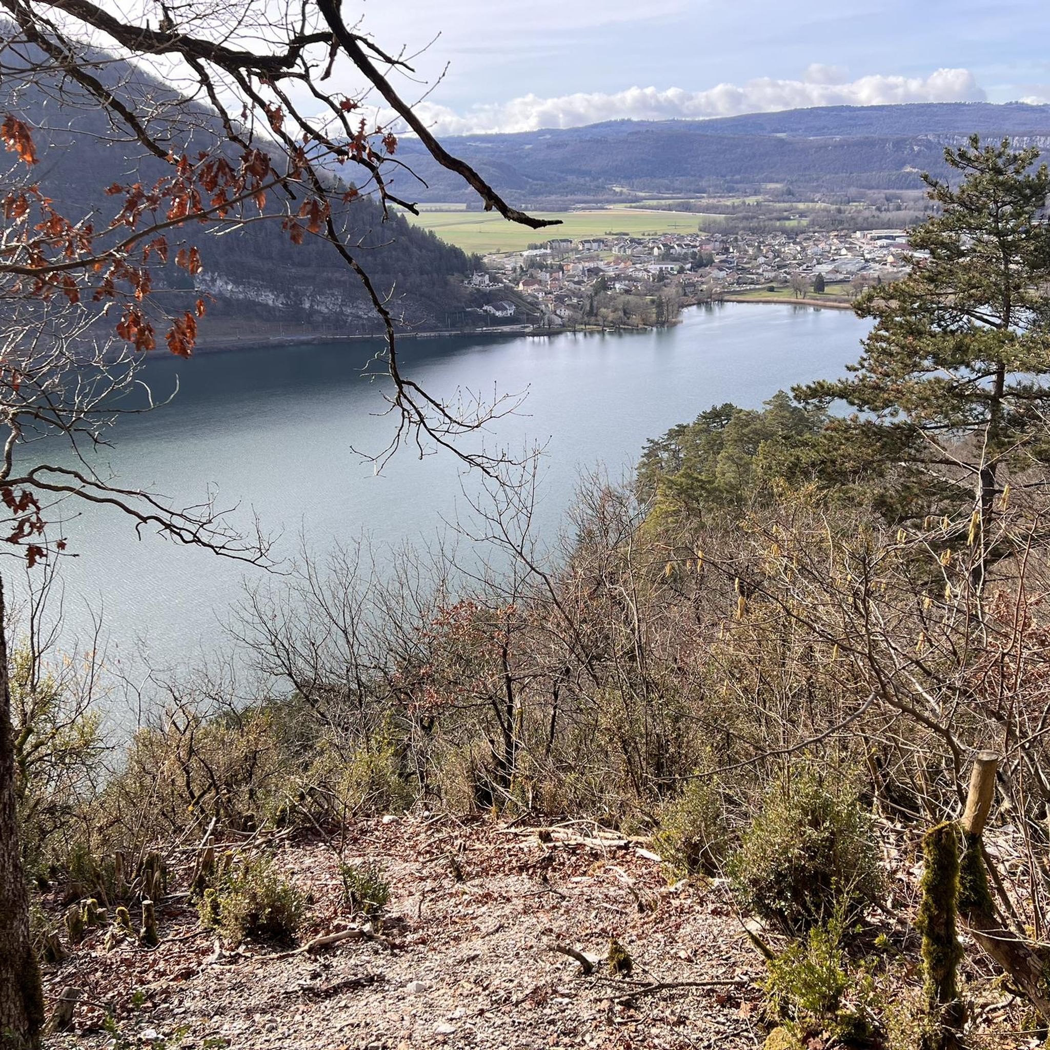
The Lac de Nantua is a superb body of water of 141 hectares. In the heart of the Jura, it offers an ideal setting for practicing a multitude of sports. It is even possible to swim in its waters.
1
0

pretty small stone viaduct with 2 superimposed lanes, one for cars with 6 arches and one for the train with 11 arches. Atypical.
0
0
pretty little stone viaduct with 2 superimposed lanes, one for cars with 6 arches and one for the train with 11 arches. Atypical.
0
0
The bridge separates two departments, the Jura and the Ain. "Iron bridge. For several centuries, the Ain was crossed at Thoirette using a ferry, called Christouphe's ferry, named after the commune where the passenger resided. From 1808 to 1811, the riparian communes contributed to building a bridge in place of this ferry. The project had been drawn up by Mr. Cordier, from Orgelet, an engineer then in charge of directing the works for the Simplon road. Various obstacles opposed the execution of this work. It was not until 1829 that an iron bridge was built, which collapsed in 1843. The Ain department has just replaced it with an iron bridge currently open to traffic". Statistique de la France - 1855 - Ministère de l'Agriculture by Imprimerie Impériale in Paris - p53.
0
0
Restored and covered washhouse of Menouille with its water point.
0
0

A must-see in Ain! It’s a chance to experience some elevation gain!
0
0
Pretty little viaduct which is a real must-see!
0
0
Frequently Asked Questions
How many road cycling routes are available around Sonthonnax-La-Montagne?
There are over 170 road cycling routes in the Sonthonnax-La-Montagne area. These routes cater to various skill levels, with 10 easy, 73 moderate, and 94 difficult options.
What kind of terrain can I expect on road cycling routes in Sonthonnax-La-Montagne?
The region features a diverse terrain, from a rolling plateau extending the Berthiand mountains to the picturesque Ain Valley and Gorges. You'll encounter forested areas, lakes, and moderate ascents, with the highest point reaching 786 meters. The foothills of the Jura Mountains and the Retord Plateau also offer varied landscapes.
Are there challenging road cycling routes in the Sonthonnax-La-Montagne area?
Yes, the area offers 94 difficult road cycling routes. For those seeking a significant challenge, legendary passes like the Col du Grand Colombier and Col de la Faucille are within reach from the wider Ain region. An example of a challenging route is the Cize-Bolozon Viaduct – Cize Viaduct loop from Matafelon-Granges, which covers 71.8 km with over 980 meters of elevation gain.
Are there easy road cycling routes suitable for beginners in Sonthonnax-La-Montagne?
Yes, there are 10 easy road cycling routes available. A good option for beginners is the Montréal – Matafelon-Granges loop from Géovreissiat, which is 17.6 km long with a manageable elevation gain of about 200 meters.
What natural features can I see while road cycling around Sonthonnax-La-Montagne?
You can enjoy the dramatic scenery of the Ain Valley and Gorges, explore routes near lakes such as Lake Nantua and Lake Oignin, and discover natural monuments like the Cascade de la Pisse Vache. The region also features extensive forested areas and the expansive Retord Plateau.
Are there any historical landmarks or picturesque villages to explore on road cycling routes?
Yes, the area is rich in picturesque elements. You can find traditional chapels with lauze roofs, old ovens, and wash houses in charming villages like Napt, which is a bucolic hamlet within Sonthonnax-La-Montagne. Historical sites, such as the Oliferne Castle Ruins, also add to the region's character.
Which road cycling routes offer the best views of the Ain Gorges?
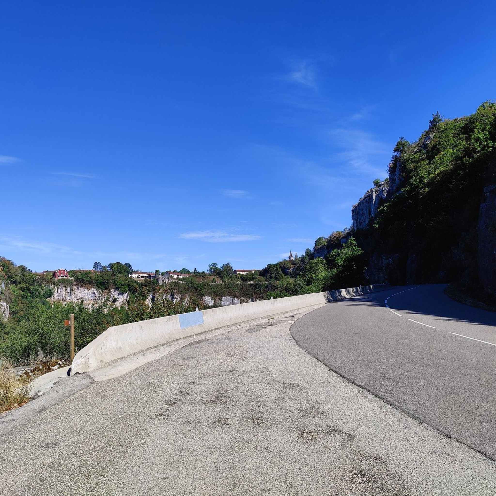
The Ain Gorges provide dramatic backdrops for rides. The Cize Viaduct – Viaduct Cize-Bolozon loop from Cize - Bolozon is a popular 61.7 km trail that leads directly through the Ain Gorges area, offering excellent views. The 'Surplombs des Gorges de l'Ain' route, starting from Bolozon, also provides stunning vistas over the gorges.
Can I find routes that pass by lakes?
Absolutely. The region features several beautiful lakes. The Lac de Nantua – Lake Nantua loop from Matafelon-Granges offers scenic views around Lake Nantua. Additionally, routes around Lake Coiselet and Lake Oignin provide serene settings for cycling.
What do other road cyclists enjoy the most about road cycling in Sonthonnax-La-Montagne?
The area is highly rated by the komoot community, with an average score of 4.5 stars from over 100 reviews. Cyclists often praise the varied terrain, from the Ain Valley to the Jura Mountains, and the extensive forested areas that provide scenic and engaging rides. Over 2,600 road cyclists have explored the region using komoot, highlighting its appeal.
Are there any specific viewpoints or notable structures along the routes?
Yes, many routes offer excellent viewpoints. The Cize-Bolozon Viaduct is a prominent structure that features in several routes, providing impressive views. The 'Napt - Le sentier de Félicien' educational trail, for instance, offers two viewpoints overlooking the Ain valley, and the region's traditional architecture in villages like Napt adds to the visual interest.
When is the best time of year for road cycling in Sonthonnax-La-Montagne?
The region's diverse landscapes, including mountains and valleys, make spring through autumn generally ideal for road cycling. These seasons offer pleasant temperatures and vibrant scenery, allowing for enjoyable rides through forested areas and along lakeshores. Always check local weather forecasts before heading out.
Are there any routes that feature waterfalls?
Yes, the commune and its surroundings boast natural features like waterfalls. You can find the Cascade de la Pisse Vache, which is a notable natural monument in the area, offering a picturesque stop during your ride.
Most popular routes around Sonthonnax-La-Montagne
Most popular attractions around Sonthonnax-La-Montagne

Get inspired with the komoot mobile app


Explore more
Browse the best Road cycling routes in other regions.
