The best walks and hikes around Saint-Michel
4.2
(91)
640
hikers
39
hikes
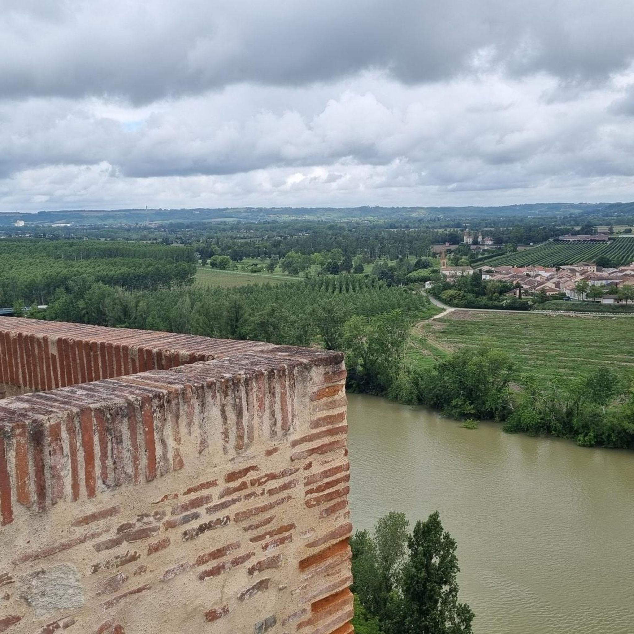
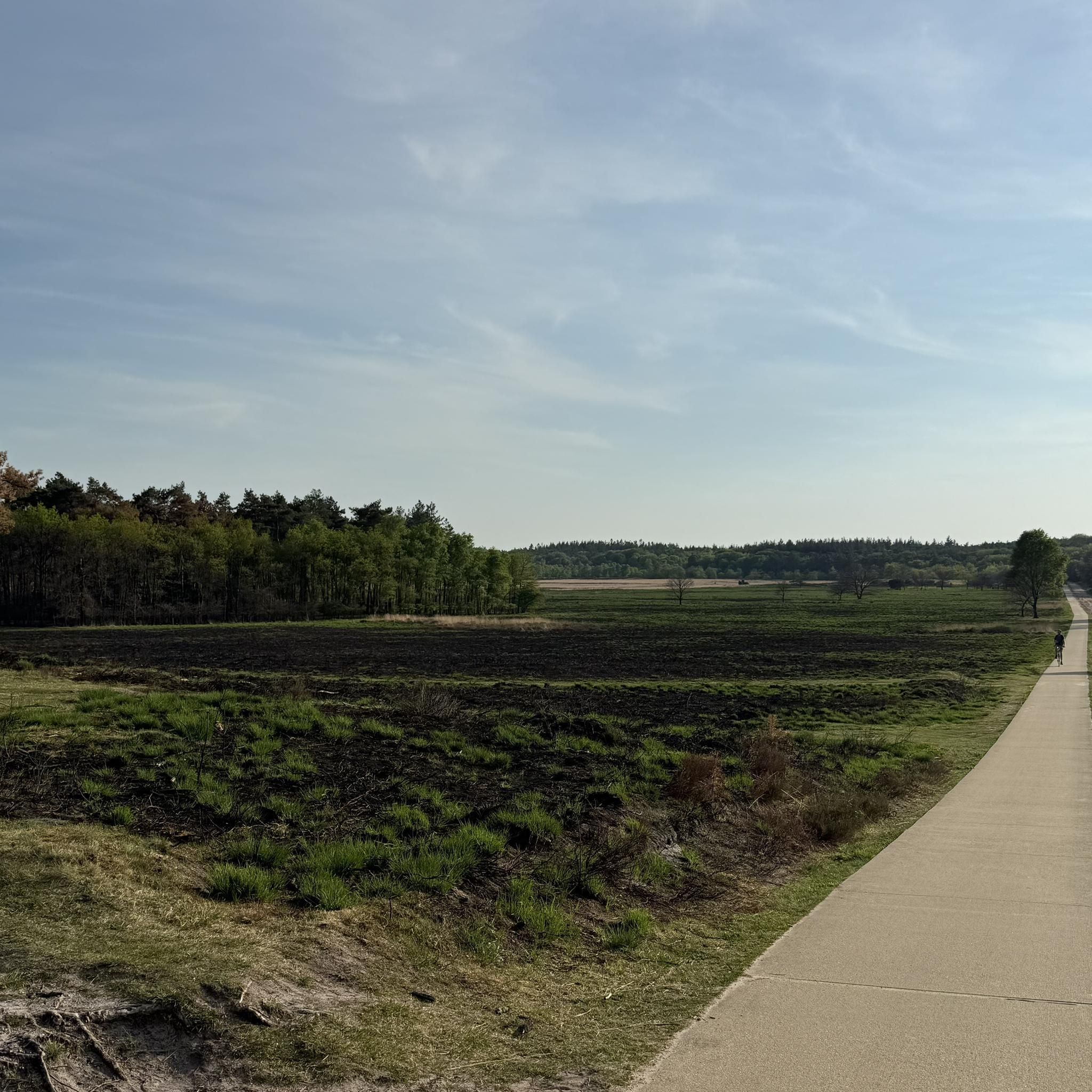
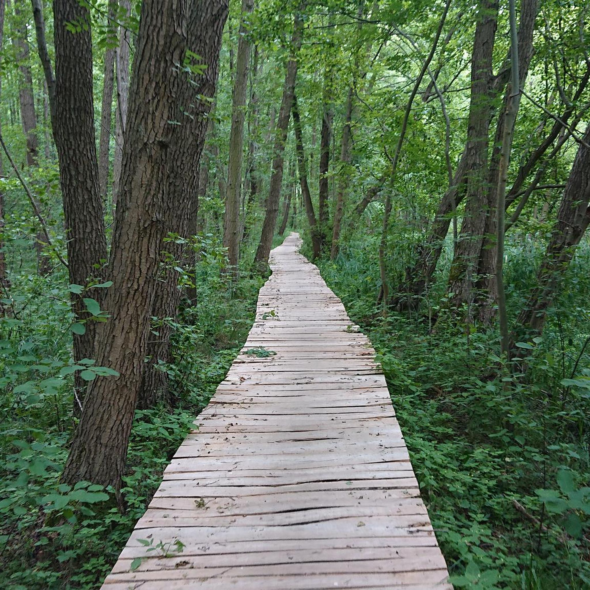
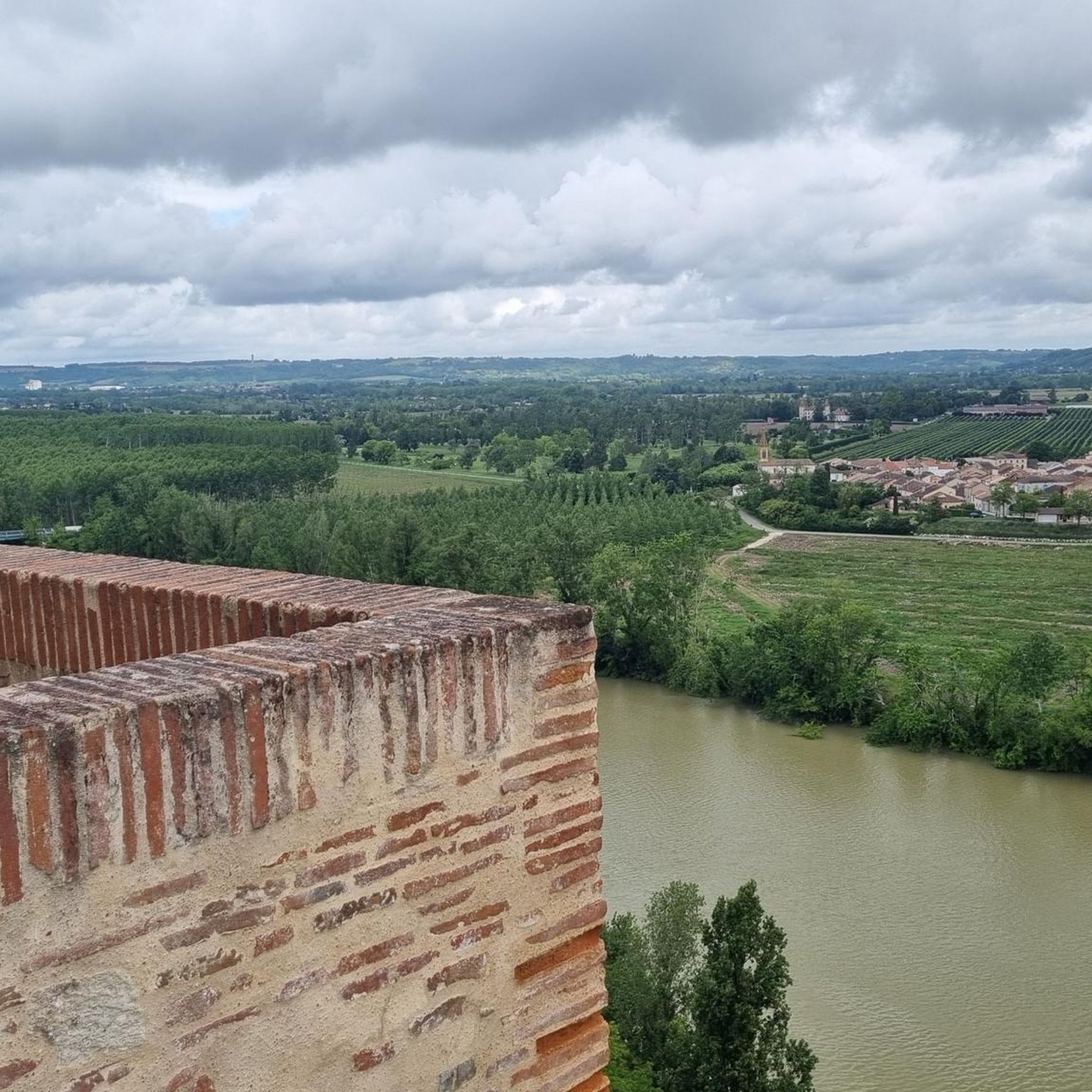
Hiking around Saint-Michel offers a variety of landscapes, characterized by rolling hills, river valleys, and agricultural areas. The region features a network of paths that traverse open countryside and pass through small villages. Elevation changes are generally moderate, making many routes accessible for different fitness levels.
Best hiking trails around Saint-Michel
- The most popular hiking route is Auvillar – Auvillar Circular Market Hall loop from Auvillar, a 6.7 miles (10.7 km) trail that takes 2 hours 59 minutes to complete. This moderate route includes views of the historic market hall and surrounding area.
- Another top favourite among local hikers is Auvillar Circular Market Hall – View of the Garonne loop from Auvillar, a difficult 18.1 miles (29.1 km) path. This longer trail offers expansive views of the Garonne river valley and more significant elevation gain.
- Local hikers also love the Houseboats on the Canal – Espalais Church loop from Malause, a 10.3 miles (16.6 km) trail leading through canal-side scenery and rural landscapes, often completed in about 4 hours 13 minutes.
- Hiking around Saint-Michel is defined by river views, agricultural fields, and village paths. The network offers options for different ability levels, from easy strolls to more challenging long-distance routes.
- The routes in Saint-Michel are highly rated by the komoot community with an average score of 4.2 stars from over 120 reviews. More than 800 hikers have used komoot to explore Saint-Michel's varied terrain.
Last updated: May 21, 2026
5.0
(2)
20
hikers
10.7km
02:58
200m
200m
Moderate hike. Good fitness required. Easily-accessible paths. Suitable for all skill levels.
4.0
(5)
23
hikers
29.0km
07:49
370m
370m
Hard hike. Very good fitness required. Easily-accessible paths. Suitable for all skill levels.

Sign up for free
4.4
(5)
25
hikers
16.6km
04:13
40m
40m
Moderate hike. Good fitness required. Easily-accessible paths. Suitable for all skill levels.
4.0
(2)
21
hikers
14.2km
03:51
200m
200m
Moderate hike. Good fitness required. Easily-accessible paths. Suitable for all skill levels.
4.0
(1)
7
hikers
4.76km
01:15
40m
40m
Easy hike. Great for any fitness level. Easily-accessible paths. Suitable for all skill levels.
Get access to more routes and recommendations from other explorers.
Sign up for free
Already have an account?
Our route recommendations are based on thousands of hikes, rides, and runs completed by other people on komoot.
Start today with a free account
Your next adventure awaits.
Login or Signup
Tips from the Community

On the entrance gates of Lamotte Castle, look for the coat of arms of the Esparbès family. Interestingly, these same motifs can also be found on the radiator caps of American Cadillac cars. This coat of arms was, in fact, borrowed from Antoine Laumet, a native of Saint-Nicolas-de-la-Grave and founder of the city of Detroit in 1701, who usurped his title of nobility by calling himself Antoine de la Motte de Cadillac. Two and a half centuries later, the American company based in Detroit used the coat of arms of its city's founder, along with part of his name.
0
0


For lovers of regional products, a farmers' market takes place every Sunday morning under the market hall!
3
0
The village of Auvillar, which overlooks the Garonne valley from its hill, is a stopping point on the road to Santiago de Compostella and has the special feature of being included on the list of most beautiful villages in France.
3
0
The area of Auvillar is 15.6 km², the population density is 63.7 inhabitants per km².
3
0
Auvillar is a municipality in the French department of Tarn-et-Garonne (region Occitanie) and has 994 inhabitants (2004). The town is part of the arrondissement of Castelsarrasin. Auvillar has been recognized by Les Plus Beaux Villages de France as one of the most beautiful villages in France
3
0

Auvillar is classified among the Most Beautiful Villages of France. The village offers many accommodations and several restaurants.
0
0
Auvillar is classified among the Most Beautiful Villages of France. The village offers many accommodations and several restaurants.
0
1
Frequently Asked Questions
How many hiking trails are available around Saint-Michel?
There are over 40 hiking routes around Saint-Michel, catering to various skill levels. You'll find 9 easy routes, 26 moderate trails, and 7 difficult options for more experienced hikers.
Are there any easy, family-friendly hikes in Saint-Michel?
Yes, Saint-Michel offers several easy routes suitable for families. A great option is the Beautiful avenue – Domaine de Thune Vineyard loop from Bardigues, which is just 4.7 km long and takes about 1 hour 15 minutes to complete, offering gentle terrain and pleasant scenery.
What are the typical lengths and durations of hikes in Saint-Michel?
Hiking trails in Saint-Michel vary significantly. You can find shorter, easy walks like the 4.7 km (1h 15m) Beautiful avenue – Domaine de Thune Vineyard loop from Bardigues, up to challenging long-distance routes such as the 29.1 km (7h 51m) Auvillar Circular Market Hall – View of the Garonne loop from Auvillar.
Are there any circular hiking routes in Saint-Michel?
Yes, many routes around Saint-Michel are circular, allowing you to start and end at the same point. For example, the popular Auvillar – Auvillar Circular Market Hall loop from Auvillar is a moderate 10.7 km circular trail.
What kind of views can I expect on hikes around Saint-Michel?
Hikes in Saint-Michel often feature diverse views, including rolling hills, expansive agricultural fields, and picturesque river valleys, particularly along the Garonne. Some routes offer specific viewpoints, such as the area near the Suspension bridge over the Garonne.
What interesting landmarks or attractions can I see while hiking?
Several hikes pass by notable landmarks. You can explore historic sites like the Auvillar Circular Market Hall or the charming village of Auvillar itself. Other points of interest include the Saint-Saturnin Church and the Saint-Antoine Chapel of Saint-Antoine.
What do other hikers enjoy most about hiking in Saint-Michel?
The area is highly rated by the komoot community, with an average score of 4.2 stars from over 120 reviews. Hikers often praise the varied terrain, from river views to agricultural fields, and the well-maintained village paths that make exploring the region enjoyable.
Are there any hikes that feature canals or rivers?
Yes, the region is known for its river valleys. The Houseboats on the Canal – Espalais Church loop from Malause is a great option, offering scenic canal-side views and rural landscapes.
What is the best time of year to go hiking in Saint-Michel?
The best time for hiking in Saint-Michel is typically from spring through autumn (April to October). During these months, the weather is generally pleasant, and the landscapes are vibrant, making for ideal conditions to explore the rolling hills and river valleys.
Are there any moderate hikes that offer a good balance of distance and challenge?
Absolutely. A good moderate option is the Auvillar Circular Market Hall – Auvillar loop from Padenes. This 14.3 km trail takes approximately 3 hours 54 minutes and provides a balanced experience through the region's characteristic landscapes.
Is Saint-Michel suitable for beginner hikers?
Yes, Saint-Michel is very suitable for beginners. With 9 easy routes and generally moderate elevation changes across the region, there are plenty of accessible paths to start your hiking journey. Look for routes under 5 km for a gentle introduction.
Most popular attractions around Saint-Michel

Get inspired with the komoot mobile app


Explore more
Browse the best Hikes in other regions.
