The best walks and hikes around La Chapelle-Du-Châtelard
4.2
(137)
1,069
hikers
59
hikes
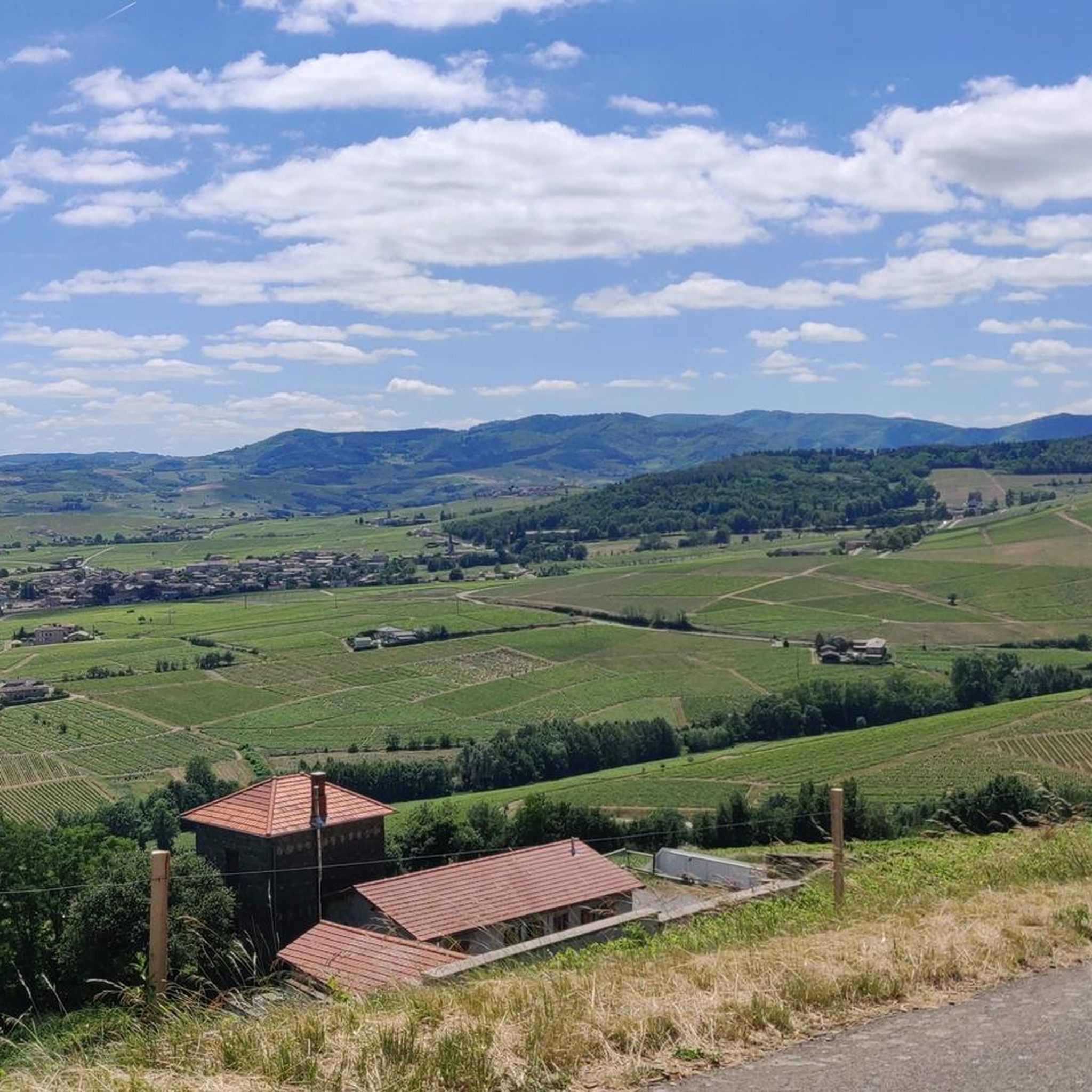
Hiking around La Chapelle-Du-Châtelard offers routes through the unique Dombes region, known as the "land of a thousand ponds." The landscape is characterized by extensive wetlands, numerous ponds, and the River Chalaronne, creating a rich aquatic environment. Trails often traverse fields, groves, and wooded areas, with generally easy to moderate difficulty and gentle elevation changes. Distant views of the Beaujolais region can be seen from some points.
Best hiking trails around La Chapelle-Du-Châtelard
- The most popular hiking route is Bozonnières Ponds Circuit, a 4.6 miles (7.4 km) trail that takes 1 hour 52 minutes to complete. This easy route passes by the historical Château de Bouligneux.
- Another top favourite among local hikers is Zone protégée des prés Gaudet loop from Châtillon-sur-Chalaronne, a moderate 6.3 miles (10.2 km) path. This route traverses pond scenery and wooded areas, offering opportunities for birdwatching.
- Local hikers also love the Châtillon-sur-Chalaronne loop from Châtillon-sur-Chalaronne, a 2.2 miles (3.6 km) trail leading through the charming medieval town of Châtillon-sur-Chalaronne, often completed in about 55 minutes.
- Hiking around La Chapelle-Du-Châtelard is defined by its extensive pond systems, wetlands, and agricultural fields. The network offers options for different ability levels, from easy strolls to moderate excursions.
- The routes in La Chapelle-Du-Châtelard are highly rated by the komoot community with an average score of 4.1 stars from over 100 reviews. Nearly 1000 hikers have used komoot to explore La Chapelle-Du-Châtelard's varied terrain.
Last updated: June 27, 2026
4.1
(15)
88
hikers
7.38km
01:52
10m
10m
Easy hike. Great for any fitness level. Easily-accessible paths. Suitable for all skill levels.
4.2
(14)
82
hikers
Easy hike. Great for any fitness level. Easily-accessible paths. Suitable for all skill levels.

Sign up for free
16
hikers
5.47km
01:26
40m
40m
Easy hike. Great for any fitness level. Easily-accessible paths. Suitable for all skill levels.
3.0
(1)
6
hikers
5.78km
01:28
10m
10m
Easy hike. Great for any fitness level. Easily-accessible paths. Suitable for all skill levels.
3.0
(1)
6
hikers
10.3km
02:40
60m
60m
Moderate hike. Good fitness required. Easily-accessible paths. Suitable for all skill levels.
Get access to more routes and recommendations from other explorers.
Sign up for free
Already have an account?
Our route recommendations are based on thousands of hikes, rides, and runs completed by other people on komoot.
Start today with a free account
Your next adventure awaits.
Login or Signup

Tips from the Community

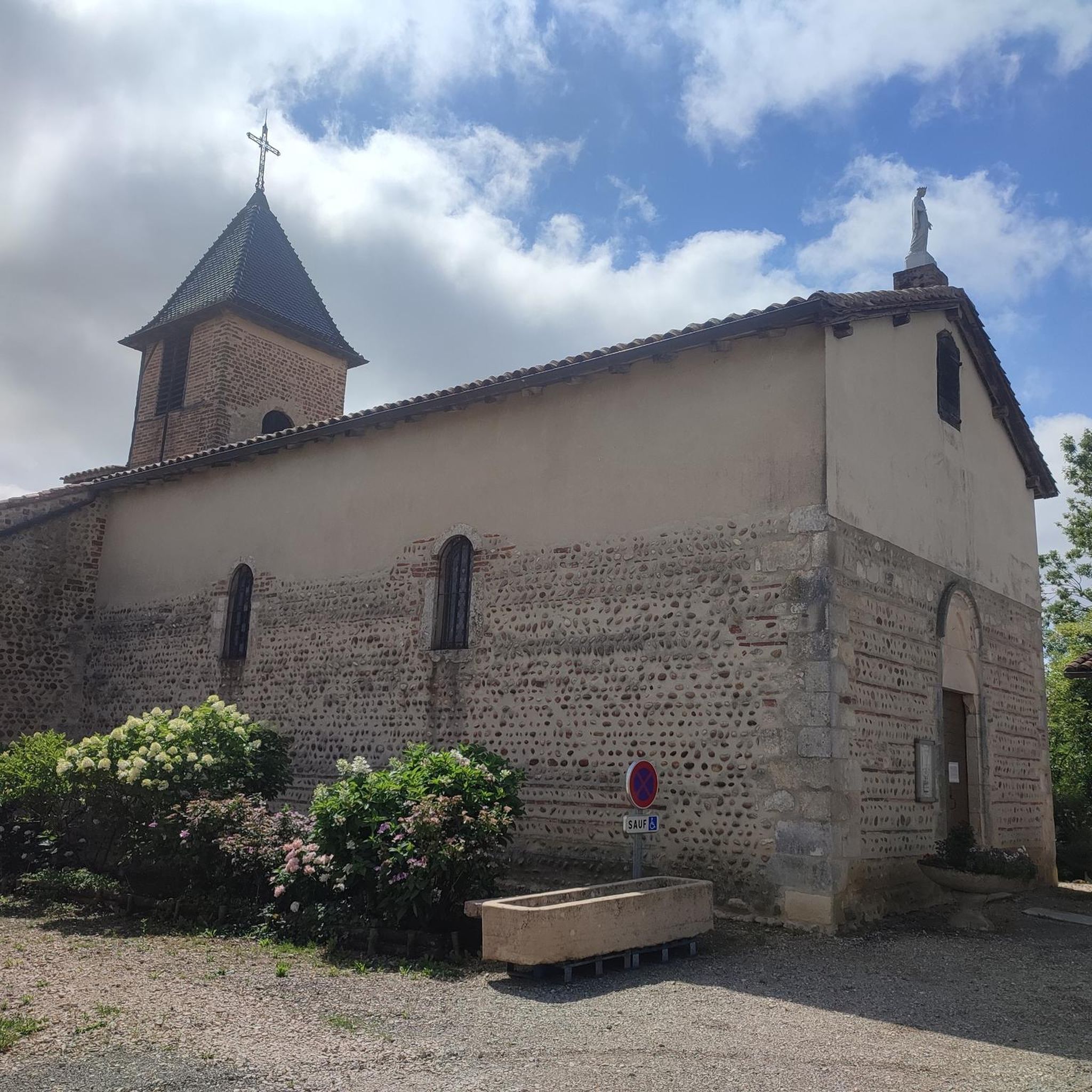
The Château de Bouligneux is a former fortified house, dating from the early 14th century and remodeled in the late 16th or early 17th century. It was the center of the Bouligneux seigneury and the administrative center of a district in Bresse. https://fr.wikipedia.org/wiki/Ch%C3%A2teau_de_Bouligneux
0
0

Built during the 14th century, Bouligneux Castle is a perfectly preserved feudal structure. The building was constructed using red bricks (carron bricks) typical of Dombes.
0
0
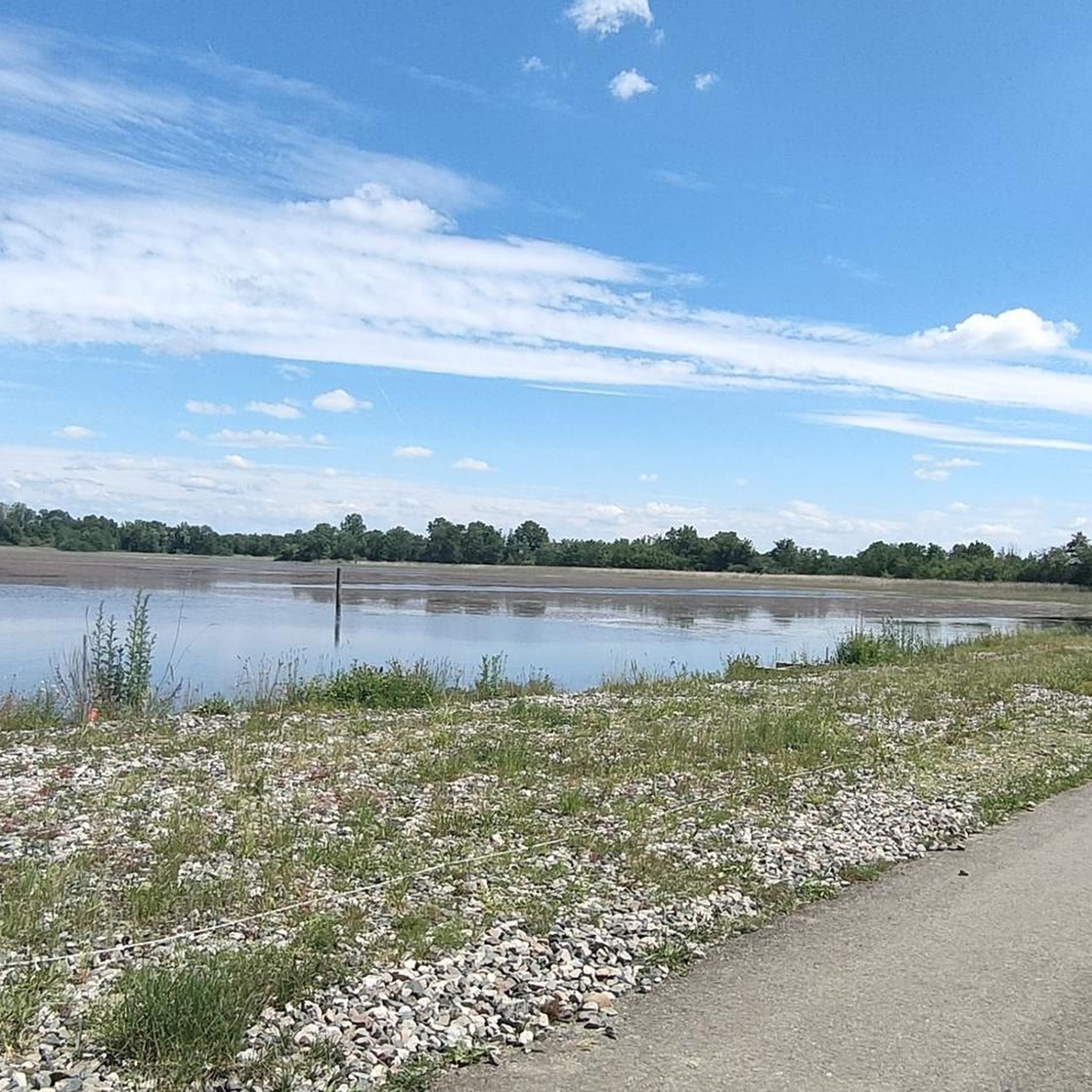
Dombes, a land of a thousand ponds, is a vast freshwater fish-farming area. This land of ancestral traditions, particularly pond fishing, is home to exceptional flora and fauna in a pristine natural setting.
0
0
Located in the heart of Dombes, Châtillon-sur-Chalaronne, formerly Châtillon-les-Dombes, is a medieval town full of character. Listed among the Most Beautiful Detours in France, it stands out for its preserved medieval heritage and unique architecture. Take the time to stroll through its busy streets and discover its traditional market, which takes place every Saturday morning if you have the opportunity.
0
0


Impressive red brick fortified farmhouse
0
0

very beautiful historic center with the unmissable market halls
0
0

Sandrans Castle was mentioned in writings as early as the 13th century. It was then the property of the Sandrans family who left it its name. This building is made up of a brick tower flanked to the west by a quadrangular building. The cylindrical keep, with a diameter of 11 meters, would have been built in the 14th century, and many architectural elements were added two centuries later. This castle was built on a circular mound "poype" 10 m in diameter, surrounded by a ditch filled with water. The extracted earth was used to raise the construction in order to make it a strategic observation post. The two turrets called watchtowers, framing access to the mound, appear to be a later decorative addition. The old farmyards have only been very partially preserved; one is occupied by the farm and the other has almost disappeared. The castle is restored and awarded by the heritage foundation. The “poypes” are a curiosity of Dombes. These are mounds of earth made by human hands, topped in the Middle Ages with a wooden tower which served as a watchtower and defense. Château de Sandrans 01400 Sandrans, private property, cannot be visited.
1
0
Frequently Asked Questions
How many hiking trails are available around La Chapelle-Du-Châtelard?
There are over 50 hiking trails in the La Chapelle-Du-Châtelard area, offering a variety of experiences through the unique Dombes region. These routes range from easy strolls to moderate excursions.
What kind of landscape can I expect on hikes in the La Chapelle-Du-Châtelard area?
The landscape is dominated by the distinctive Dombes wetlands, often called the 'land of a thousand ponds.' You'll encounter numerous tranquil ponds, the River Chalaronne, and varied scenery including fields, groves, and wooded areas. Some trails even offer distant glimpses of the Beaujolais region.
Are there any easy or family-friendly hiking options?
Yes, many trails are suitable for families and beginners. Over half of the routes in the area are rated as easy, featuring gentle elevation changes and well-maintained paths. A great option is the Bozonnières Ponds Circuit, which is 4.6 miles long and passes by the historical Château de Bouligneux.
Are dogs allowed on the hiking trails around La Chapelle-Du-Châtelard?
Generally, dogs are welcome on trails in the La Chapelle-Du-Châtelard area. However, it's always recommended to keep them on a leash, especially when passing through agricultural areas, near ponds (to protect wildlife), or in proximity to livestock. Always check local signage for specific restrictions.
What historical landmarks or attractions can I see while hiking?
You can discover several historical elements. The Château de Bouligneux, a 14th-century castle, is a notable sight often incorporated into routes like the Bozonnières Ponds Circuit. The charming medieval town of Châtillon-sur-Chalaronne, recognized as one of France's 'Most Beautiful Detours,' is also nearby and can be explored via routes such as the Châtillon-sur-Chalaronne loop.
Are there any circular hiking routes in the area?
Yes, many of the trails around La Chapelle-Du-Châtelard are circular, allowing you to start and end at the same point. Popular loop trails include the Bozonnières Ponds Circuit and the Zone protégée des prés Gaudet loop from Châtillon-sur-Chalaronne, which offers excellent birdwatching opportunities.
What is the best time of year to go hiking in the Dombes region?
The spring and autumn months are ideal for hiking in the Dombes region. During these seasons, the weather is generally mild, and the natural environment is particularly vibrant, offering excellent conditions for birdwatching and enjoying the pond scenery. Summer can also be pleasant, but trails might be busier.
What do other hikers enjoy most about the trails here?
The hiking trails around La Chapelle-Du-Châtelard are highly rated by the komoot community, with an average score of 4.1 stars. Hikers frequently praise the tranquil pond scenery, the abundance of birdlife, and the generally easy-to-moderate terrain that makes the routes accessible to many.
Are there opportunities for birdwatching along the trails?
Absolutely. The Dombes wetlands are a renowned haven for birdlife. Many trails, especially those focused on the ponds like the Zone protégée des prés Gaudet loop, offer excellent opportunities for birdwatching. You can observe a wide variety of aquatic birds in their natural habitat.
Where can I find parking for hiking trailheads?
Parking is generally available near the starting points of many popular trails, especially in and around towns like Châtillon-sur-Chalaronne or near specific attractions. While specific parking lots aren't detailed for every route, most trailheads are accessible by car with convenient parking options nearby.
Are there any viewpoints or scenic spots to look out for?
The region offers numerous scenic spots, primarily centered around its extensive pond systems. You'll find picturesque views across the water, often with opportunities to observe local wildlife. The Observation Platform - Étang Turlet is a dedicated spot for enjoying the natural beauty and birdlife.
What is the typical difficulty level of hikes in this area?
Hikes around La Chapelle-Du-Châtelard are generally considered easy to moderate. The terrain is mostly flat with gentle elevation changes, making it suitable for a wide range of fitness levels. There are no difficult or challenging mountain trails in this region.
Most popular routes around La Chapelle-Du-Châtelard
Most popular attractions around La Chapelle-Du-Châtelard

Get inspired with the komoot mobile app


Explore more
Browse the best Hikes in other regions.
