The best running trails around Ars-Sur-Formans
4.2
(171)
10,863
runners
12
runs
Jogging routes around Ars-Sur-Formans traverse a landscape characterized by gentle rolling terrain and local countryside. The region features moderate elevation changes, with routes offering varied distances suitable for different fitness levels. These running trails provide opportunities to explore the area's natural environment.
Best jogging routes around Ars-Sur-Formans
- The most popular jogging route is The Stone – Ars-sur-Formans loop from Ars-sur-Formans, a 3.3 miles (5.3 km) trail that takes about 35 minutes to complete. This moderate route features gentle ascents…
Last updated: July 5, 2026
4.0
(3)
12
runners
5.33km
00:35
40m
40m
Moderate run. Good fitness required. Mostly paved surfaces. Suitable for all skill levels.
5.0
(1)
11
runners
8.46km
00:57
80m
80m
Moderate run. Good fitness required. Mostly paved surfaces. Suitable for all skill levels.

Sign up for free
6
runners
14.4km
01:37
110m
110m
Moderate run. Good fitness required. Mostly paved surfaces. Suitable for all skill levels.
2.0
(1)
6
runners
9.75km
01:03
60m
60m
Moderate run. Good fitness required. Mostly paved surfaces. Suitable for all skill levels.
3
runners
10.2km
01:05
60m
60m
Moderate run. Good fitness required. Mostly paved surfaces. Suitable for all skill levels.
Get access to more routes and recommendations from other explorers.
Sign up for free
Already have an account?
Our route recommendations are based on thousands of hikes, rides, and runs completed by other people on komoot.
Start today with a free account
Your next adventure awaits.
Login or Signup

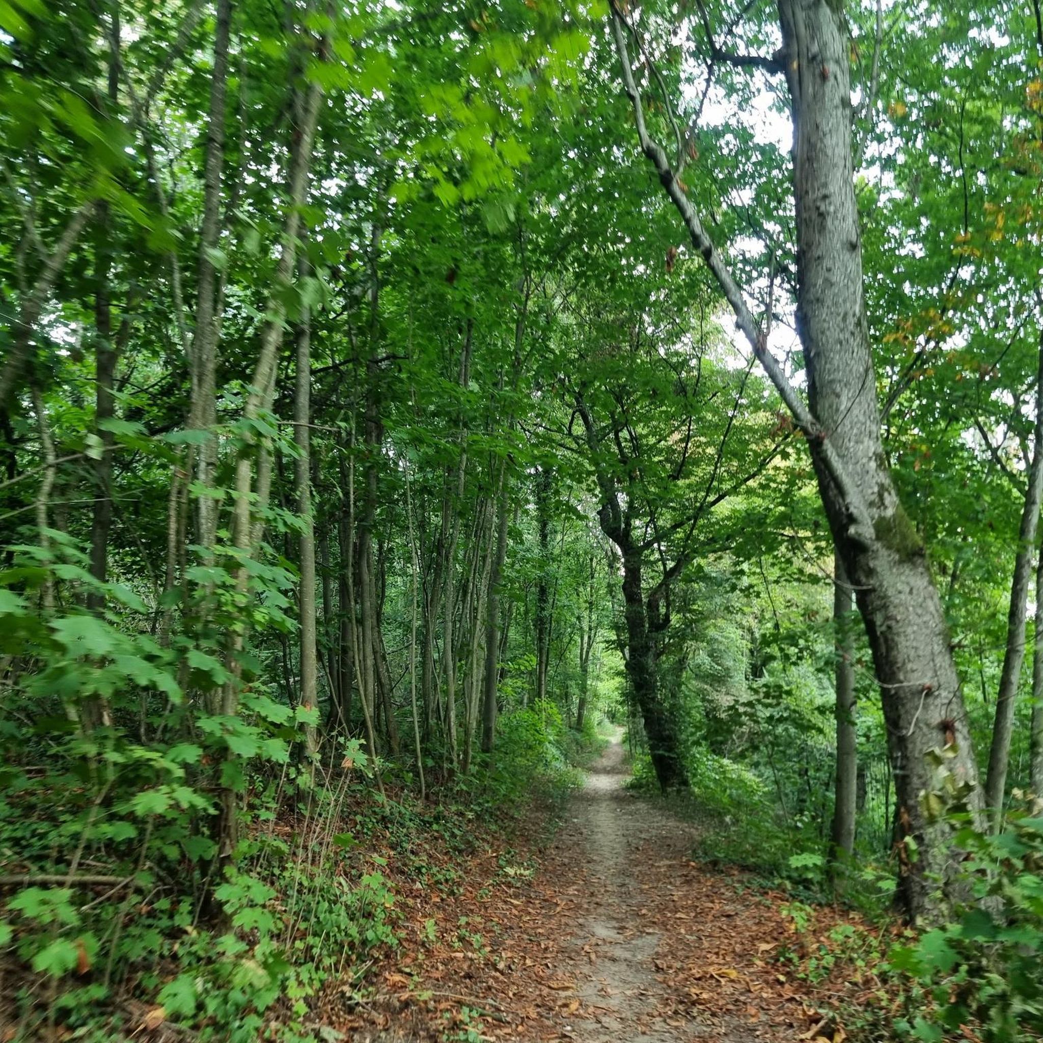
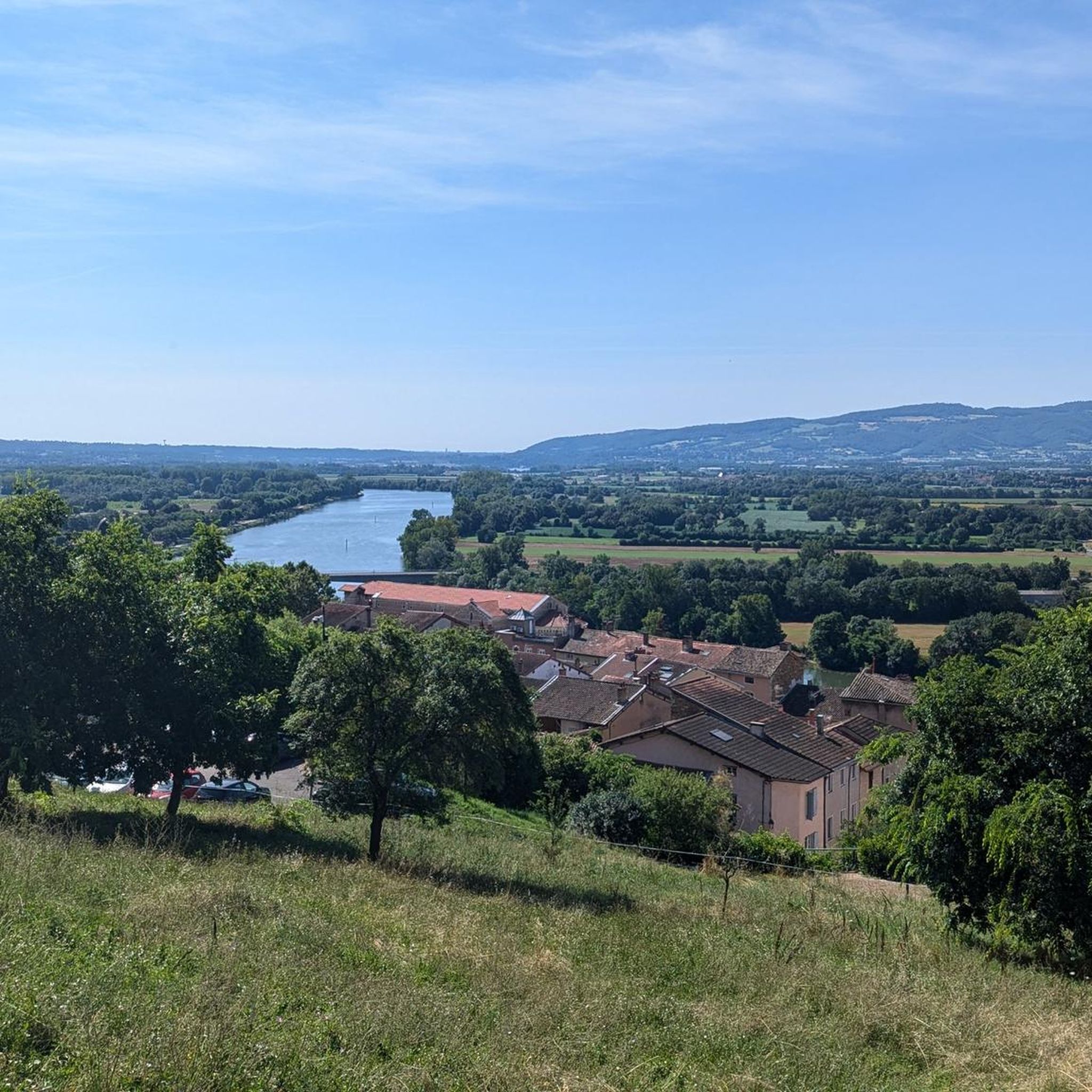
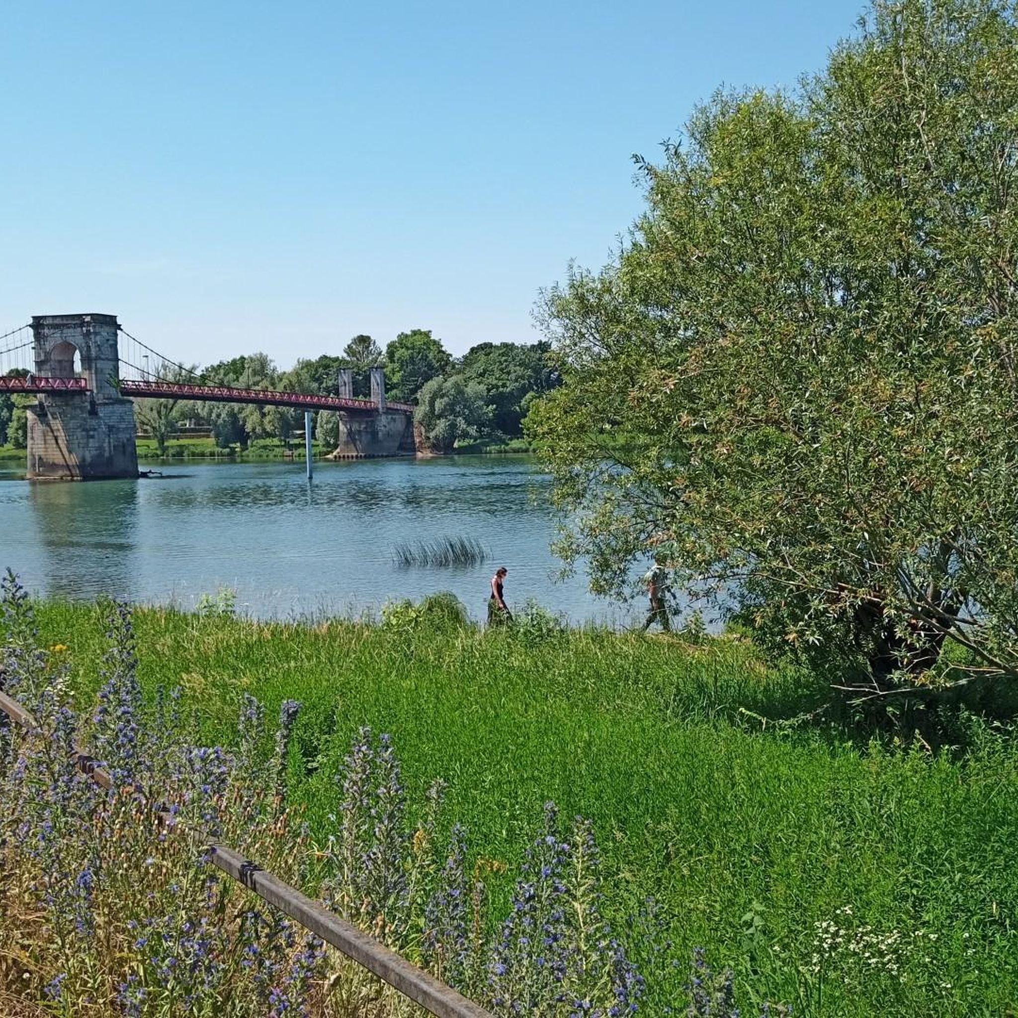
Tips from the Community

very beautiful church and gardens to visit.
0
0

Village mainly known for its basilica and its holy priest Jean-Marie Vianney canonized in 1925 by Pius XI. It is a quiet place to take a break and eat during a tour in the Dombes.
1
0
Frequently Asked Questions
How many running routes are available around Ars-Sur-Formans?
There are over a dozen dedicated running routes around Ars-Sur-Formans, with 11 of them being of moderate difficulty and one considered challenging. These trails offer varied distances and experiences for runners.
Are there any longer running trails suitable for a 10k or more in Ars-Sur-Formans?
Yes, for those looking for longer runs, Ars-Sur-Formans offers several options. You could try the Ars-sur-Formans loop from Ars-sur-Formans, which is 10.2 km (6.3 miles) long, or the Ars-sur-Formans – The Stone loop from Ars-sur-Formans, extending to 14.4 km (8.9 miles).
What kind of terrain can I expect on the jogging routes in Ars-Sur-Formans?
The running routes around Ars-Sur-Formans are characterized by gentle rolling terrain, open fields, and local pathways. You'll encounter moderate elevation changes, making for an engaging but not overly strenuous run through the countryside.
What do other runners say about the trails in Ars-Sur-Formans?
The running trails in Ars-Sur-Formans are highly regarded by the komoot community, holding an average rating of 4.2 stars from over 150 reviews. Runners often praise the varied countryside and the well-maintained local pathways.
Are there any circular running routes in the area?
Many of the routes around Ars-Sur-Formans are designed as loops, offering convenient circular runs. For example, the The Stone – Ars-sur-Formans loop from Ars-sur-Formans is a popular 5.3 km (3.3 miles) circular trail.
Can I find challenging running routes near Ars-Sur-Formans?
While most routes are moderate, there is at least one route classified as challenging for those seeking a more intense workout. The region's moderate elevation changes can still provide a good challenge on longer distances.
What are some scenic points or attractions I might see while running?
While running, you might encounter charming settlements like Beauregard or Trévoux. For historical interest, the magnificent Château de Fléchères is also nearby, offering a glimpse into the region's heritage.
Are there any trails that follow waterways or rivers?
Yes, the region offers opportunities to run alongside water. You can explore sections of the Towpath along the Saône or parts of La Voie Bleue, which provide pleasant, often flat, running surfaces.
What is the best time of year to go running in Ars-Sur-Formans?
The gentle rolling terrain and open fields of Ars-Sur-Formans make it suitable for running throughout much of the year. Spring and autumn offer pleasant temperatures and beautiful scenery, while summer mornings or evenings are ideal to avoid the heat. Winter runs are also possible, though conditions may vary.
Are there any specific routes that are particularly good for a moderate run?
For a solid moderate run, consider the The Stone – Ars-sur-Formans loop from Ars-sur-Formans. This 8.4 km (5.2 miles) path offers a good distance with moderate elevation changes through the surrounding landscape.
Where can I find parking for the running trails?
Most running routes around Ars-Sur-Formans start and end in or near the town itself, suggesting that parking would generally be available within the village or at designated trailheads. It's advisable to check specific route details on komoot for precise starting points and potential parking information.
Most popular routes around Ars-Sur-Formans
Most popular attractions around Ars-Sur-Formans

Get inspired with the komoot mobile app


Explore more
Browse the best Running Trails & Routes in other regions.
