The best road cycling routes around Ars-Sur-Formans
4.4
(208)
5,171
riders
255
rides
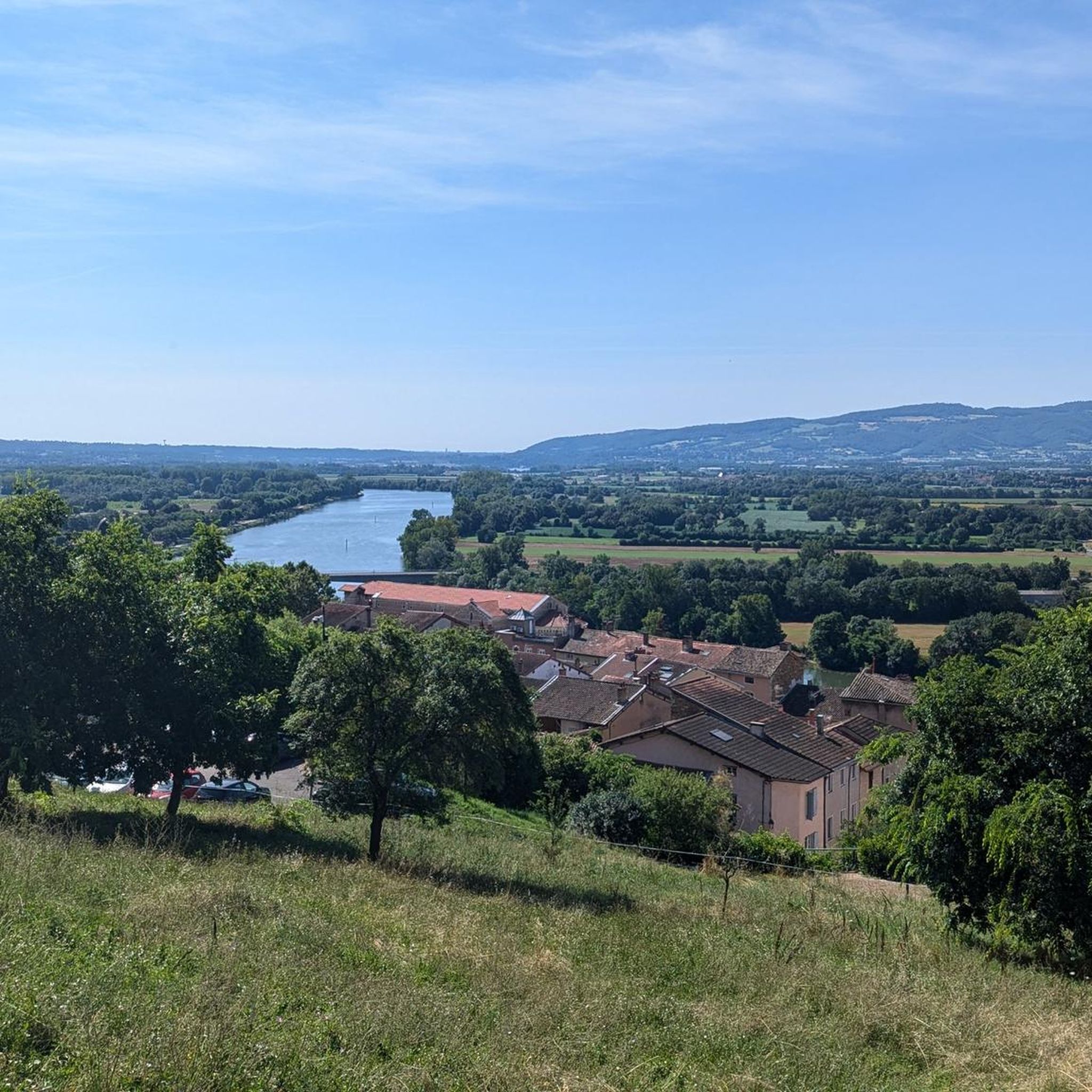
Road cycling routes around Ars-sur-Formans traverse the unique Dombes region, characterized by its flat to gently rolling topography and numerous ponds, often referred to as the "land of a thousand ponds." The area also offers access to the Saône River plains, providing picturesque routes along its banks. This geographical setting provides a mix of terrain, from serene, low-traffic rural roads to more varied landscapes as it approaches the fertile hills of the Val de Saône.
Best road cycling routes around…
Last updated: May 24, 2026
20
riders
64.3km
02:50
580m
580m
Moderate road ride. Good fitness required. Mostly well-paved surfaces and easy to ride.
5.0
(3)
14
riders
Moderate road ride. Good fitness required. Mostly well-paved surfaces and easy to ride.

Sign up for free
10
riders
44.1km
01:55
170m
170m
Easy road ride. Great for any fitness level. Mostly well-paved surfaces and easy to ride.
8
riders
59.1km
02:27
370m
380m
Moderate road ride. Good fitness required. Mostly well-paved surfaces and easy to ride.
9
riders
58.7km
02:46
760m
760m
Moderate road ride. Good fitness required. Mostly well-paved surfaces and easy to ride.
Get access to more routes and recommendations from other explorers.
Sign up for free
Already have an account?
Our route recommendations are based on thousands of hikes, rides, and runs completed by other people on komoot.
Start today with a free account
Your next adventure awaits.
Login or Signup


Tips from the Community


A crossroads, with a very beautiful willow tree, which offers several nice routes for amateur cyclists.
0
0

An essential landmark in the region for cyclists
0
0

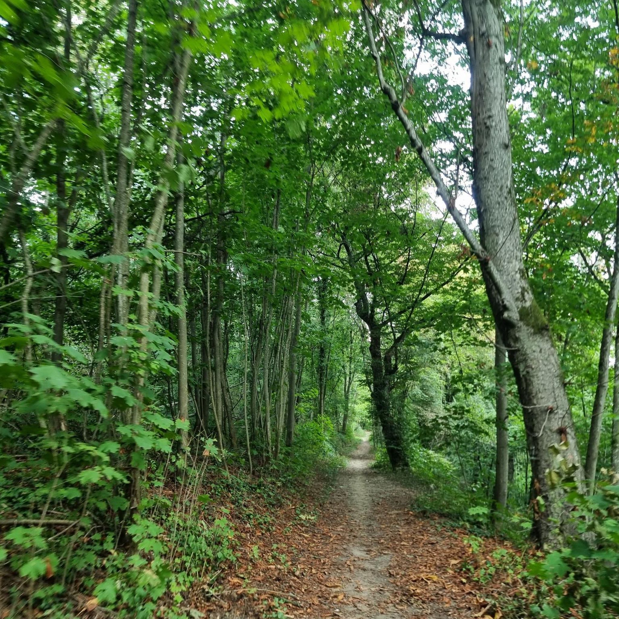
"Bouncy" roads but in the middle of nature and zero cars!
0
0
A very nice little village with this church + covered market + 1 or 2 quality restaurants. The exit is rolling, but the road is very pleasant and not very busy with cars...
0
0

Frequently Asked Questions
What kind of terrain can I expect when road cycling around Ars-sur-Formans?
The region offers a diverse cycling experience. The Dombes area, known as the 'land of a thousand ponds,' features mostly flat to gently rolling topography, ideal for relaxed rides. As you approach the Val de Saône to the west, the landscape transitions to more varied terrain with fertile hills, providing moderate elevation gains. Routes like the Oingt – Le Saule d'Oingt loop from Misérieux showcase some of these more varied landscapes.
Are there many road cycling routes available in Ars-sur-Formans?
Yes, Ars-sur-Formans and its surroundings offer a wide selection of routes. There are over 260 road cycling routes available, catering to various skill levels. The komoot community has explored this varied terrain extensively, with over 5,000 road cyclists using komoot to discover the area.
What is the general difficulty level of road cycling routes in this area?
The routes around Ars-sur-Formans cater to a range of abilities. You'll find approximately 33 easy routes, 158 moderate routes, and 70 more challenging options. This variety ensures that both beginners and experienced cyclists can find suitable paths, from leisurely rides through the Dombes to segments with more significant elevation gains.
Are there any family-friendly road cycling options near Ars-sur-Formans?
Yes, the region is well-suited for family cycling, especially in the Dombes area with its flat to gently rolling topography and low-traffic rural roads. The national cycle route La Voie Bleue, which follows the Saône River, offers mostly flat and safe paths, perfect for families seeking a leisurely ride through charming villages.
What natural features or scenic viewpoints can I expect to see while cycling?
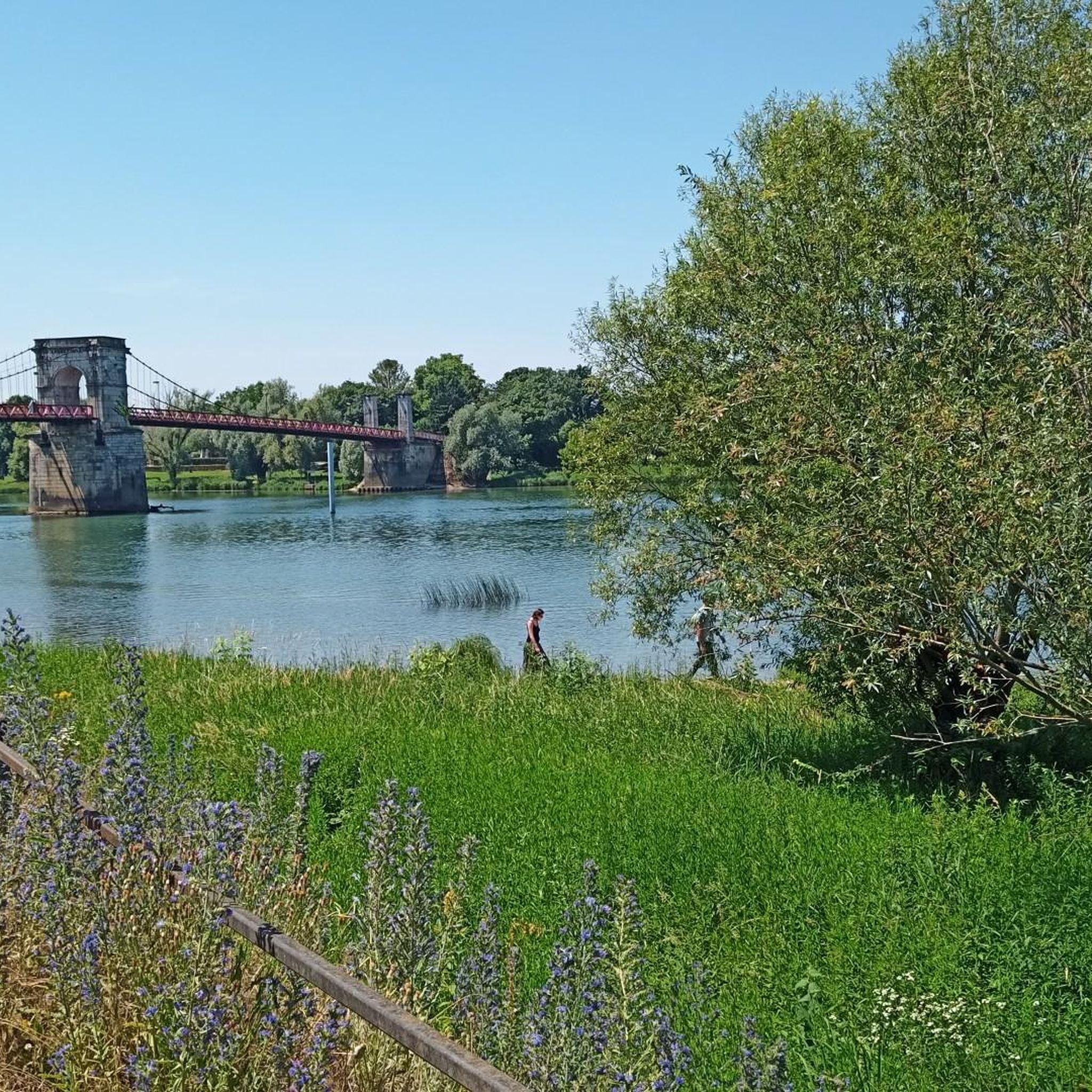
Cyclists can enjoy the unique 'land of a thousand ponds' in the Dombes, rich in biodiversity and ideal for birdwatching. Routes often follow the picturesque Saône River, offering views of its banks. For example, the Saint-Bernard Bridge – The B. Bousquet of Morancé loop from Misérieux features scenic stretches near the river and through the countryside.
Are there any historical landmarks or attractions along the cycling routes?
Yes, the region is rich in history. You can cycle past charming villages like Trévoux, and discover impressive structures such as Château de Fléchères or the Keep of the Château d'Ambérieux-en-Dombes. In Ars-sur-Formans itself, the Basilica of Ars and the Presbytery of the Curé d'Ars offer cultural stopovers.
What do other road cyclists say about the routes in Ars-sur-Formans?
The road cycling routes in Ars-sur-Formans are highly regarded by the komoot community, with an average rating of 4.4 stars from over 200 reviews. Cyclists often praise the quiet, less-trafficked roads, the diverse landscapes ranging from the serene ponds of the Dombes to the scenic Saône River plains, and the well-maintained paved surfaces.
Are there any circular road cycling routes available?
Yes, many of the routes around Ars-sur-Formans are designed as loops, allowing you to start and finish in the same location. Examples include the popular Montmerle-sur-Saône – Col du Plageret loop from Misérieux, which offers varied elevation, and the Joli Passage entre 2 Étangs – Abbey of Notre-Dame des Dombes loop from Toussieux, which takes you through the pond-filled landscapes.
What is the best time of year for road cycling in Ars-sur-Formans?
The region is generally pleasant for road cycling from spring through autumn. The mild climate allows for comfortable rides, especially when enjoying the natural beauty of the Dombes and the Saône River. It's always advisable to check local weather forecasts before heading out.
Can I access the cycling routes using public transport?
While specific public transport connections directly to trailheads for cycling are not detailed, Ars-sur-Formans is part of the Ain department, which is developing the 'Ain à Vélo' network. For detailed information on public transport options and how they connect to cycling routes, it is best to consult local transport authorities or the official Ain tourism website: Ain Tourisme.
Where can I find parking for road cycling routes in Ars-sur-Formans?
Parking availability can vary depending on your chosen starting point. Many villages and towns in the region, including Ars-sur-Formans, offer public parking areas. For specific routes, it's recommended to check the route details on komoot or local signage for designated parking spots near trailheads or points of interest.
Are there any long-distance cycling routes that pass through the area?
Yes, Ars-sur-Formans is situated near significant national cycling routes. The La Voie Bleue, a 700 km route following waterways, passes through the Ain department along the Saône River. Additionally, the ViaRhôna, an 815 km route linking Lake Geneva to the Mediterranean, has sections in the northern Ain region, offering diverse landscapes.
Most popular routes around Ars-Sur-Formans
Most popular attractions around Ars-Sur-Formans

Get inspired with the komoot mobile app


Explore more
Browse the best Road cycling routes in other regions.
