The best running trails around Hauteville-Lompnes
4.8
(8)
747
runners
55
runs
Jogging around Hauteville-Lompnes offers diverse natural landscapes on the Plateau d'Hauteville, situated in a mid-mountain environment within the Jura Mountains, with elevations ranging from 800 to 1200 meters. The region features a unique topography of limestone and marl-limestone layers, dense beech and spruce forests, and invigorating, clean air. Runners can explore routes that pass by notable features such as the Charabotte waterfall, the Mélogne waterfall, and the tranquil Étang des Lésines. This area provides a varied and picturesque backdrop for…
Last updated: July 3, 2026
40
runners
7.45km
00:57
160m
160m
Hard run. Good fitness required. Sure-footedness, sturdy shoes and alpine experience required.
26
runners
9.06km
01:04
160m
160m
Moderate run. Good fitness required. Mostly paved surfaces. Suitable for all skill levels.

Sign up for free
22
runners
12.5km
01:37
340m
340m
Hard run. Very good fitness required. Sure-footedness, sturdy shoes and alpine experience required.
21
runners
9.74km
01:11
160m
160m
Moderate run. Good fitness required. Mostly paved surfaces. Suitable for all skill levels.
19
runners
13.1km
01:34
240m
240m
Moderate run. Good fitness required. Mostly paved surfaces. Suitable for all skill levels.
Get access to more routes and recommendations from other explorers.
Sign up for free
Already have an account?
Our route recommendations are based on thousands of hikes, rides, and runs completed by other people on komoot.
Start today with a free account
Your next adventure awaits.
Login or Signup
Popular around Hauteville-Lompnes
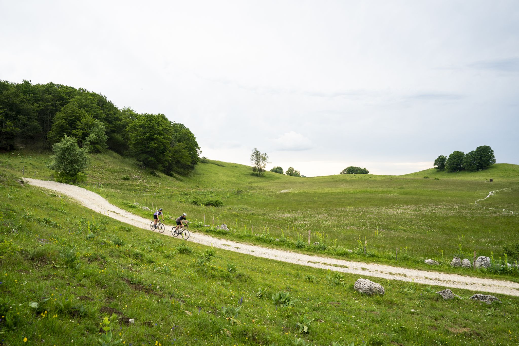
Gravel in Ain — sporty loops between water and mountain
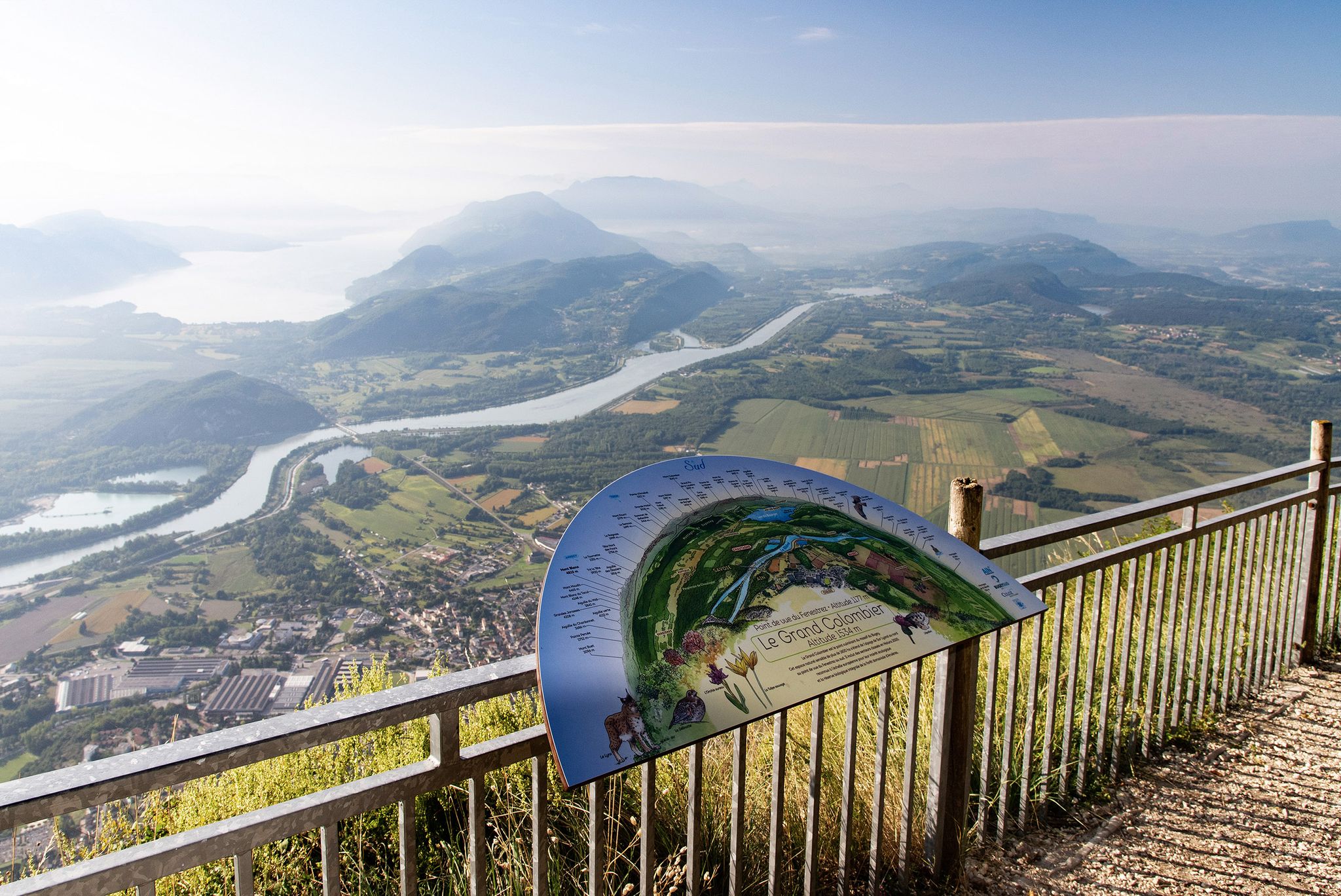
Tour de Pays MTB Bugey - Grand Colombier - Espace FFC Ain Forestière
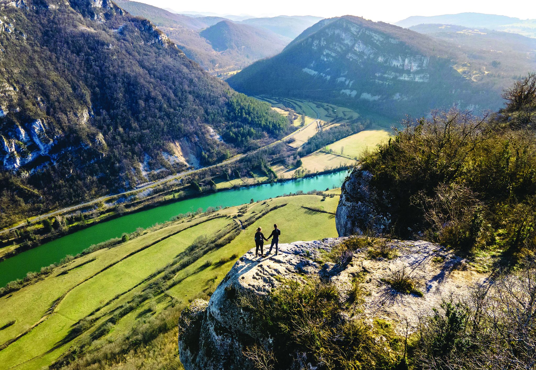
Secrets of the Ain – 10 wonderful watery hikes
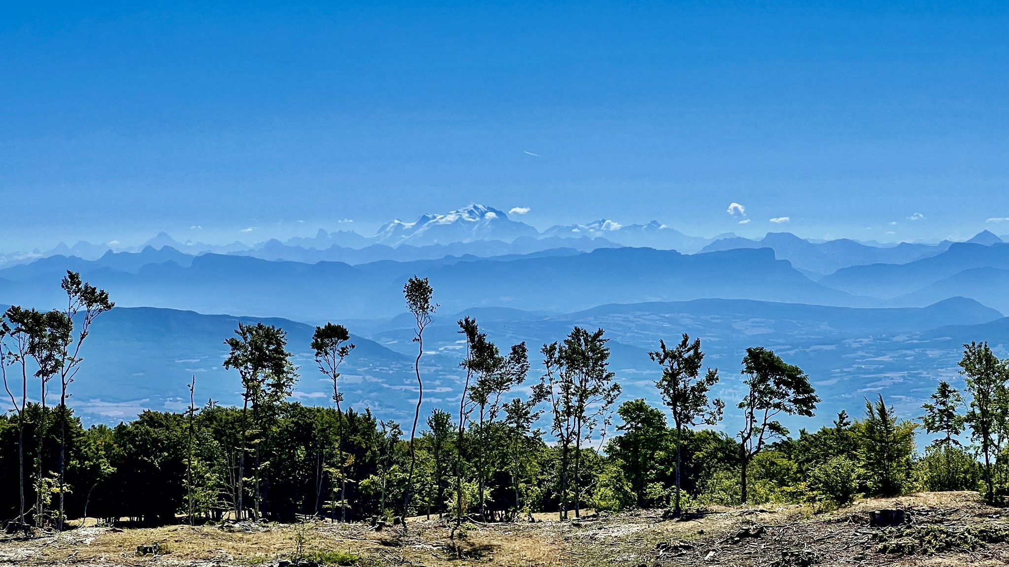
Circuits VTT entre Plateau de Retord et Grand Colombier
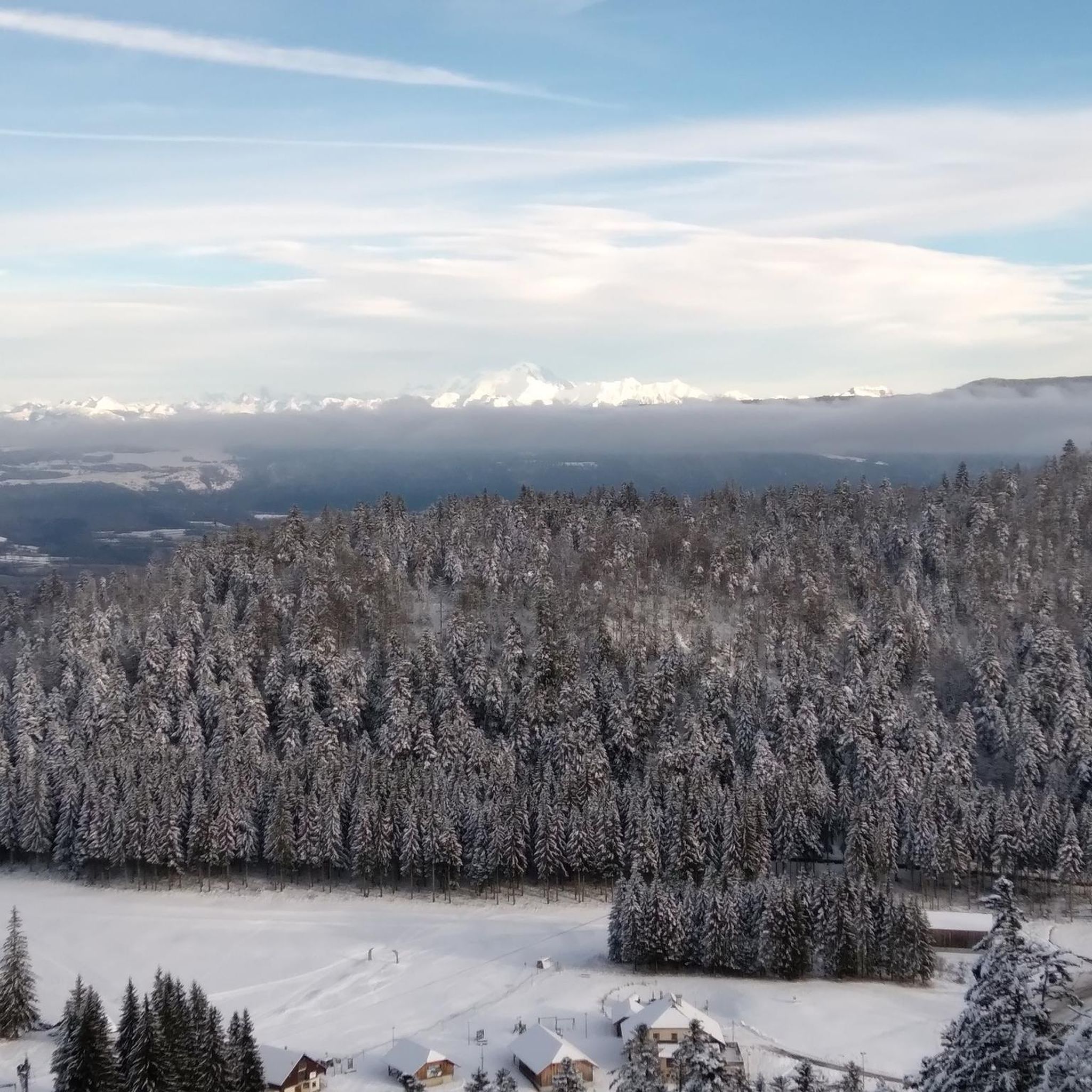
Hiking around Hauteville-Lompnes
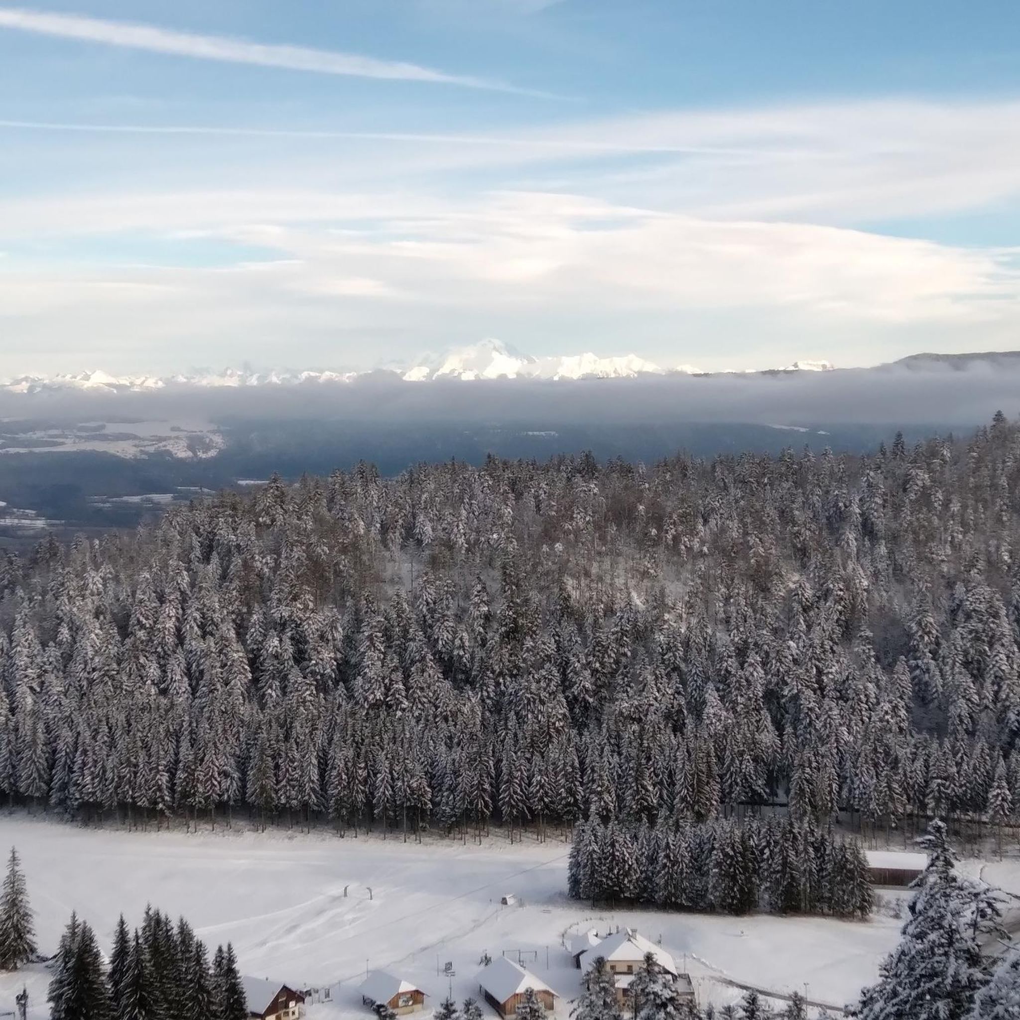
Road Cycling Routes around Hauteville-Lompnes
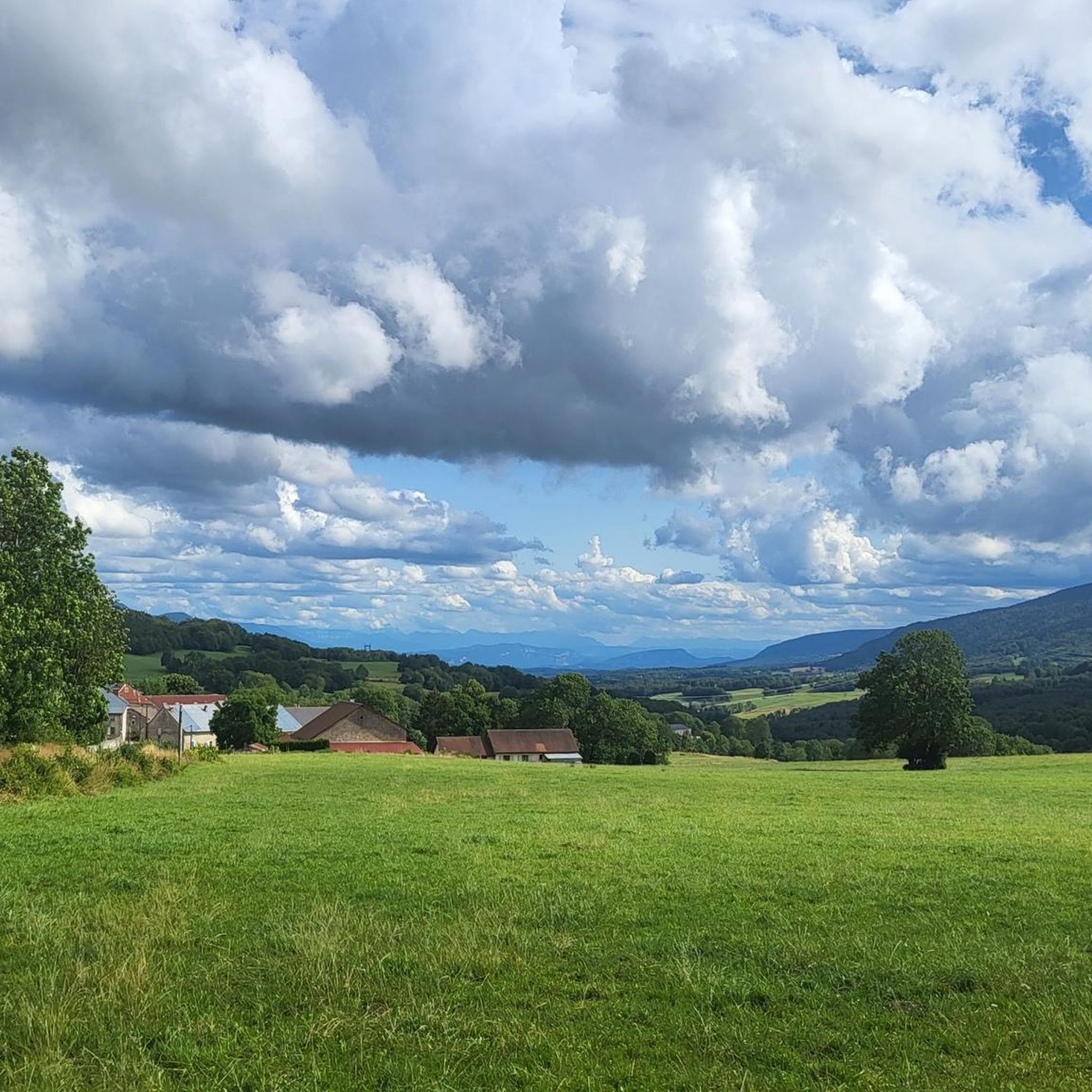
Cycling around Hauteville-Lompnes

Gravel biking around Hauteville-Lompnes
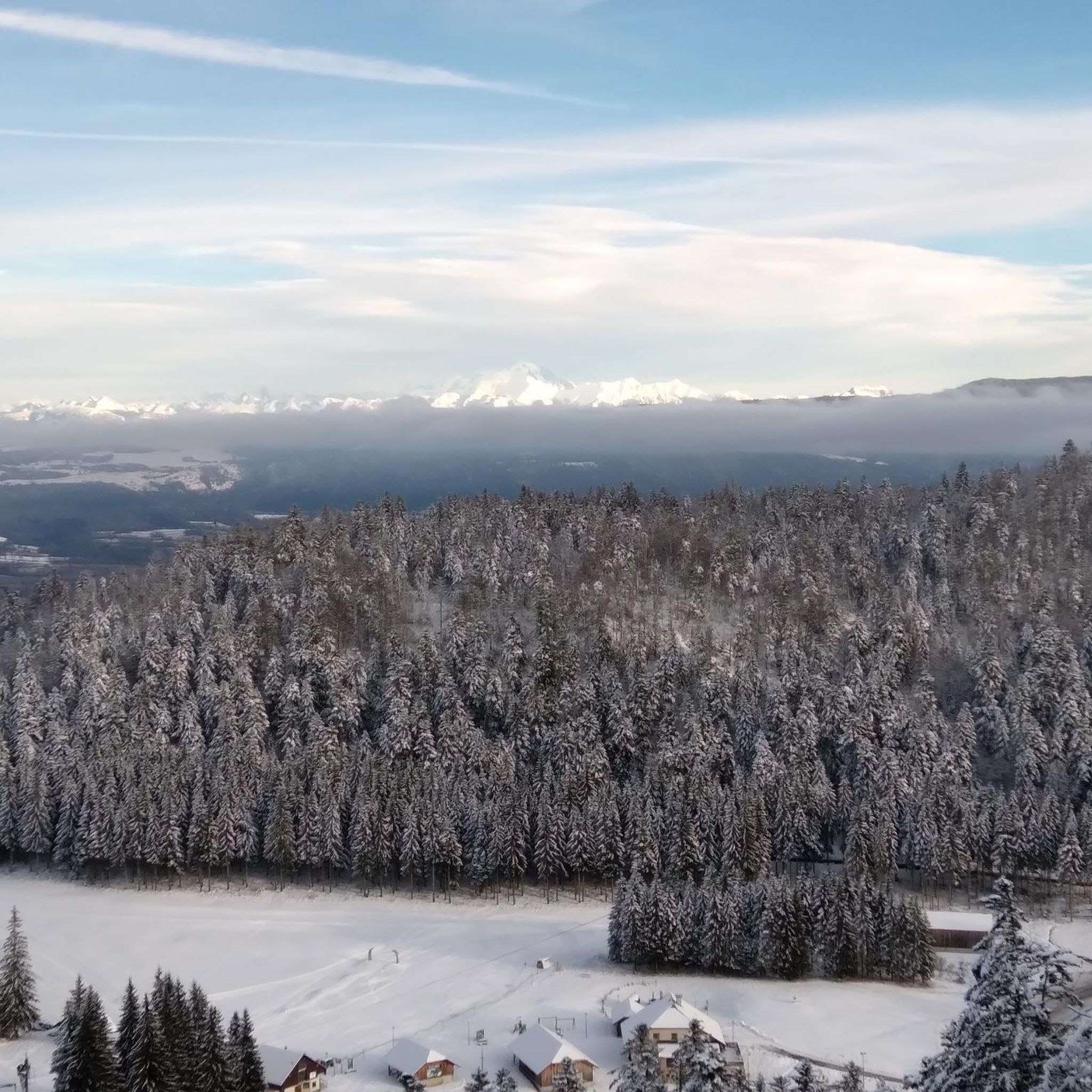
MTB Trails around Hauteville-Lompnes
Other adventures around Hauteville-Lompnes


Tips from the Community

In addition to being the starting point for several walking and cycling routes, the La Praille estate offers everything you need to regain your strength after an outing. Besides accommodation and catering at the inn, there is a wellness area (spa and Nordic bath) to recharge your batteries in a magnificent mountain setting.
0
0

Little-known pass but very beautiful little road!
0
0

Nice climb, unfortunately the road from Ruffieu has (recently?) been completely covered in gravel that accumulates on the bends. Uphill it's okay, but risky on the descent. It's strange because the road doesn't seem particularly damaged under the gravel...
0
0

Col de la Clye, perched on a discreet road between the Combe du Val and the Retord plateau, unveils a peaceful pastoral setting. Its isolated atmosphere makes it a pretty passage on the Grandes Traversées du Jura route.
1
0
The Col de Valorse is nestled between the Haut-Bugey and the Valserine valley, east of the Ain. This pass offers a regular climb in the heart of a wild forest landscape.
1
0

Best done in the morning in case of extreme heat!
0
0

Very quiet, sometimes steep climb. Road could be a lot better. Glad I had 35mm tires.
0
0
Frequently Asked Questions
How many running routes are available in Hauteville-Lompnes?
Hauteville-Lompnes offers a wide selection of running routes, with over 50 trails available. These routes cater to various skill levels, including easy, moderate, and difficult options, ensuring there's a suitable path for every runner.
Are there any easy jogging routes suitable for beginners or a relaxed run?
Yes, Hauteville-Lompnes has several easy running routes. A great option for a relaxed run is the Étang des Lésines loop from Hauteville-Lompnes. This moderate 9 km trail offers a peaceful experience around the scenic Lésines Pond.
What kind of natural features can I expect to see along the running trails?
The running trails in Hauteville-Lompnes showcase diverse natural landscapes. You'll encounter dense beech and spruce forests, tranquil ponds like the Étang des Lésines, and impressive waterfalls. Notable waterfalls include the Charabotte Waterfall and the Melogne Waterfalls, offering picturesque backdrops for your run.
Are there any circular running routes in the area?
Many of the running routes in Hauteville-Lompnes are circular, providing convenient starting and ending points. For example, the Valorse Pass loop from La Praille is a popular 9 km circular trail through forested mountain passes.
What do other runners enjoy most about jogging in Hauteville-Lompnes?
The area is highly rated by the komoot community, with an average score of 4.7 stars from over 9 reviews. Runners often praise the invigorating, clean air, the diverse natural landscapes, and the well-maintained network of trails that cater to all abilities.
Can I find running routes that offer panoramic views?
Absolutely. The Plateau d'Hauteville, with elevations between 850 and 1234 meters, provides numerous opportunities for scenic views. The Col de la Rochette loop from La Praille is a challenging route that features ascents leading to panoramic vistas of the surrounding plateau.
Are there any longer or more challenging running routes for experienced runners?
Yes, experienced runners will find plenty of challenging options. The Rochette Pass – Col de la Clye loop from Hauteville-Lompnes is a difficult 12.4 km route with significant elevation gain, perfect for those seeking a more demanding run.
What is the best time of year to go running in Hauteville-Lompnes?
Hauteville-Lompnes is appealing year-round for outdoor activities. The region's dry mountain climate and lush forests contribute to clean, oxygen-rich air, making it conducive to physical exertion. Spring and autumn offer pleasant temperatures and vibrant scenery, while summer provides shaded forest routes. Winter can also be beautiful for running, though some trails may require appropriate gear for snow or ice.
Are there any running trails that pass by ponds or lakes?
Yes, the tranquil Étang des Lésines is a notable feature in the area, and several running circuits incorporate it. Besides the popular Étang des Lésines loop, you can also explore the Lesines Pond loop from Hauteville-Lompnes, a 10.3 km route that offers another perspective of this serene setting.
Where can I find more information about the natural attractions in the Hauteville-Lompnes region?
For more details on the natural beauty of the area, including the plateau's unique topography and its impressive waterfalls, you can visit the Haut-Bugey Tourisme website. Specifically, you can learn more about The Plateau d'Hauteville and its waterfalls.
Are there specific trails known for their forest scenery?
The region is characterized by extensive beech and spruce forests, providing shaded and scenic routes. Many trails, such as the Valorse Pass loop from La Praille, lead through these lush woodlands, offering a refreshing and immersive running experience.
Most popular routes around Hauteville-Lompnes
Most popular attractions around Hauteville-Lompnes

Get inspired with the komoot mobile app


Explore more
Browse the best Running Trails & Routes in other regions.
