Top 5 Mountain Passes around Murs-Et-Gélignieux
Best mountain passes around Murs-Et-Gélignieux are found in the surrounding Bugey massif, part of the Jura mountain range, rather than within the commune itself. Murs-Et-Gélignieux is situated at a modest elevation, ranging from 210 to 460 meters above sea level, on the right bank of the Rhône river. While the immediate area does not feature high mountain passes, the broader Bugey region offers routes through its varied terrain. The Grand Colombier, for instance, is a notable peak in the Bugey massif, reaching 1,534 meters.
Best mountain passes around Murs-Et-Gélignieux
- The most popular mountain pass is Crusille Pass (573 m), a mountain_pass that is fairly rolling and pleasant. It is located at an altitude of 573 meters.
- Another must-see spot is Col du Banchet, an intermediate mountain pass with a viewpoint. The view from this pass rewards the efforts made during the climb.
- Visitors also love Col du Mont Tournier (851 m), a shady mountain pass located at an altitude of 851 meters. It is known for being quiet and uncrowded.
- Murs-Et-Gélignieux is known for shaded passes, rolling passes, and intermediate climbs. The region offers a variety of mountain passes to explore, ranging from lower altitude routes to more challenging ascents within the Bugey massif.
- The mountain passes around Murs-Et-Gélignieux are appreciated by the komoot community, with 128 upvotes and 46 photos shared by visitors.
Last updated: July 10, 2026
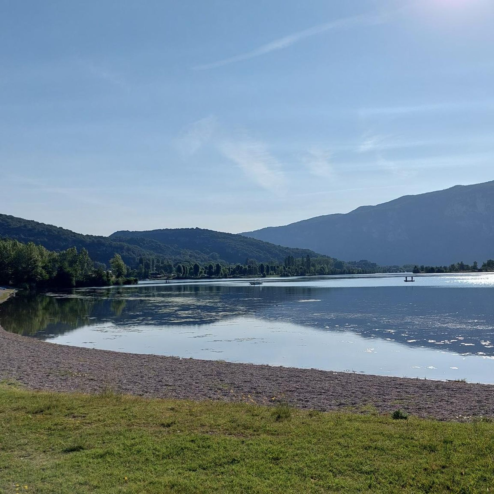
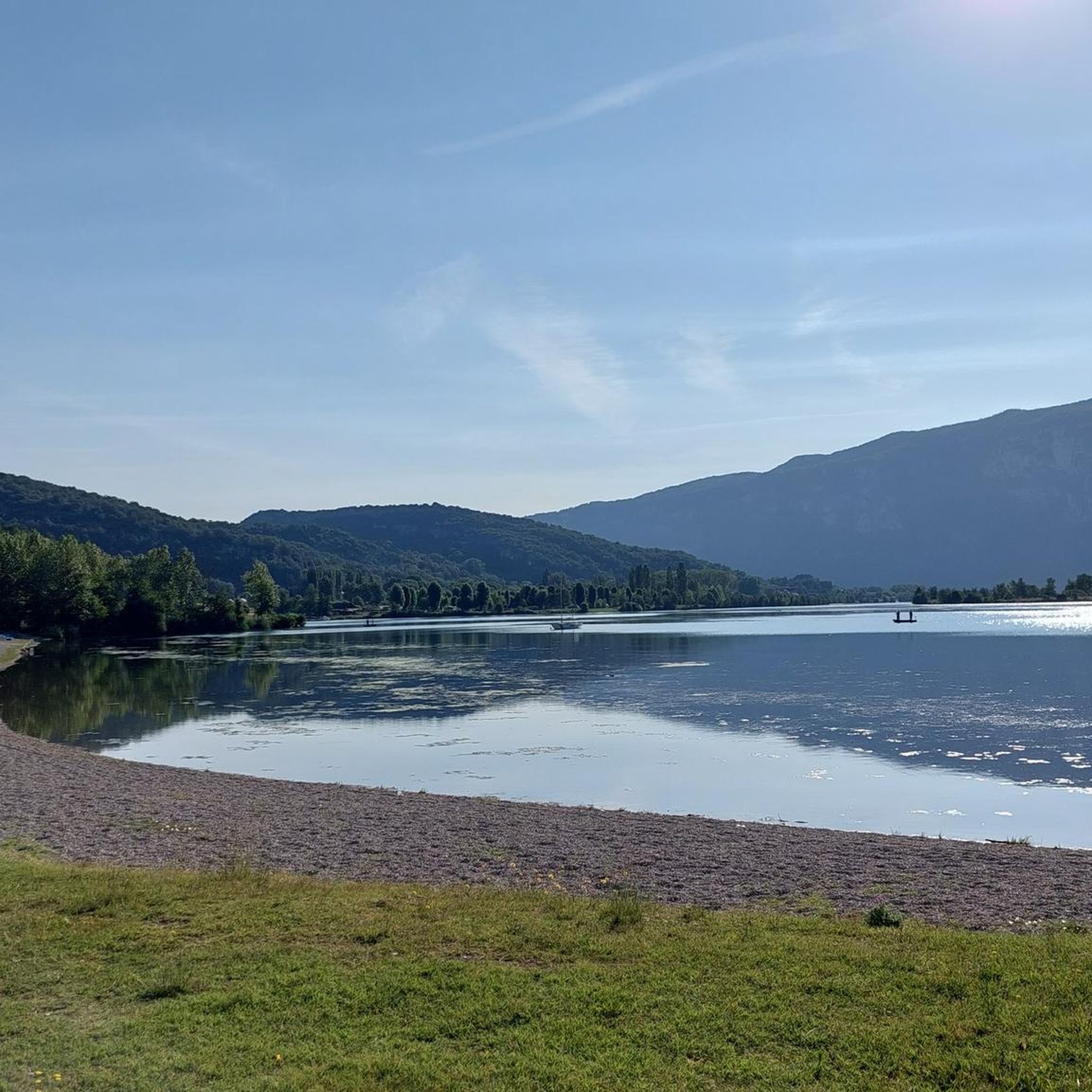
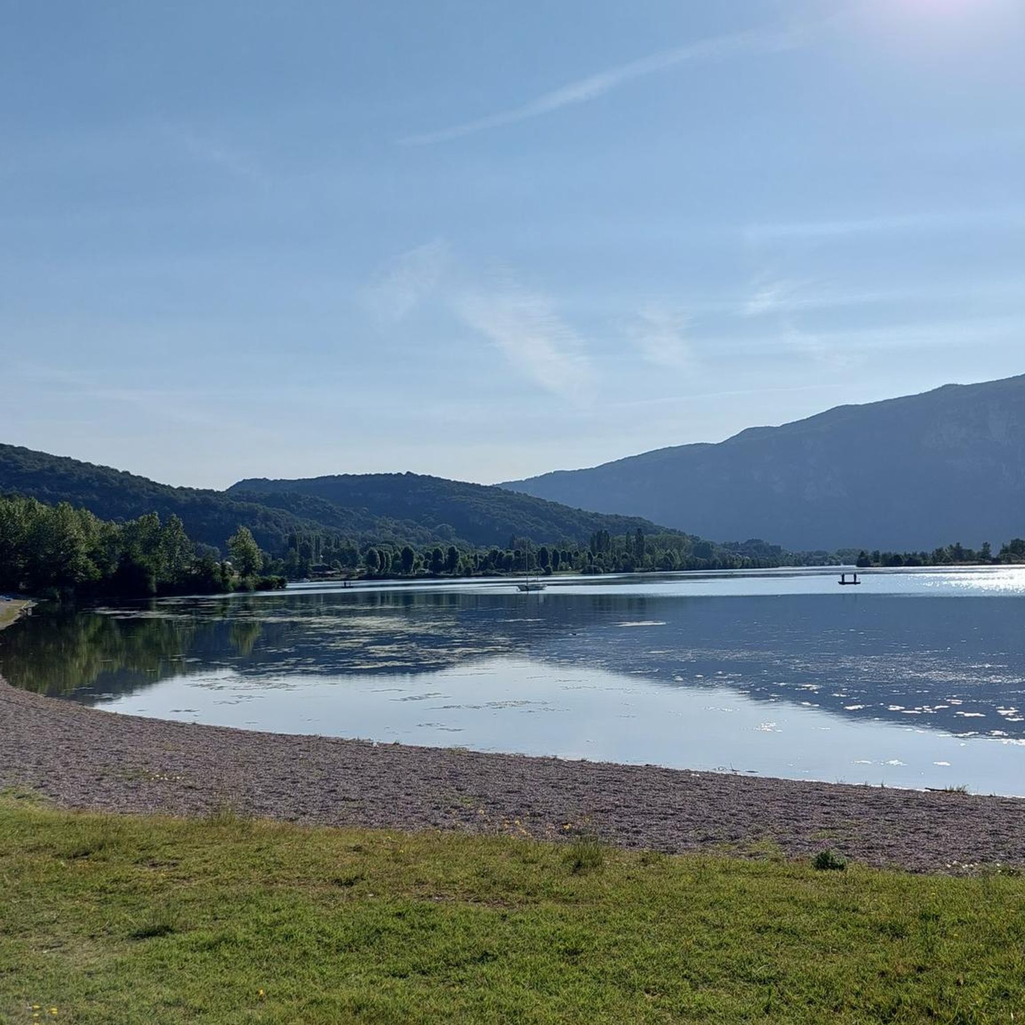
Col du Banchet
Highlight • Mountain Pass
Translated by Google •
Tip by

Col de la Lattaz (754 m)
Highlight • Mountain Pass
Translated by Google •
Tip by

Sign up now to discover places like this
Get recommendations on the best single tracks, peaks, & plenty of other exciting outdoor places.
Sign up for free
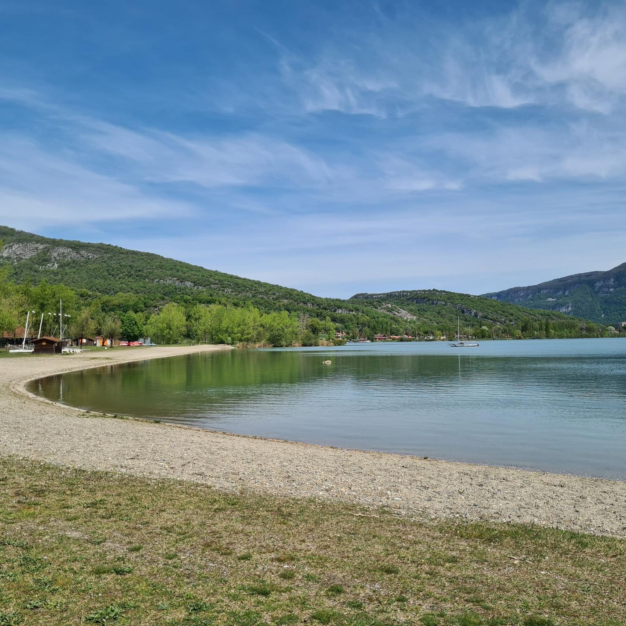
Crusille Pass (573 m)
Highlight • Mountain Pass
Translated by Google •
Tip by

Col du Mont Tournier (851 m)
Highlight • Mountain Pass
Translated by Google •
Tip by
Start today with a free account
Your next adventure awaits.
Login or Signup

Tips from the Community


Pass located at an altitude of 573 m, to be climbed from Saint-Genix-sur-Guiers or Novalaise.
1
0
The Col du Banchet is a mountain pass located at an altitude of 590 m in the Mont Tournier range, south of the Jura massif, in the Savoyard Avant-Pays, in the Savoie department.
1
0
The Col du Mont Tournier – 851 m – is located in the Savoyard Avant-Pays but belongs, from a geological point of view, to the Jura Massif.
2
0
Pass located at an altitude of 754 m, in Savoie. You can continue to the Mont Tournier pass.
1
0
Pass located at an altitude of 754 m, which can be continued to the Mont Tournier pass.
1
0

From Rochefort, the Col du Banchet climbs in a bend with a fairly steep passage on the first part. The view rewards the efforts made to get there.
1
0

Frequently Asked Questions
Where are the main mountain passes located around Murs-Et-Gélignieux?
While Murs-Et-Gélignieux itself is at a modest elevation, the significant mountain passes are found in the surrounding Bugey massif, which is part of the Jura mountain range. This region offers a variety of routes through its varied terrain.
What are some popular mountain passes to explore in the Bugey massif?
Visitors often enjoy the Crusille Pass (573 m), known for being fairly rolling and pleasant. Another popular spot is Col du Banchet, which offers rewarding views after the climb. For a quieter experience, Col du Mont Tournier (851 m) is a shady and uncrowded option.
Are there any challenging climbs for cyclists in the region?
Yes, the broader Bugey massif is home to the Grand Colombier, a prominent peak reaching 1,534 meters. It is renowned as a challenging climb for cyclists and has even been featured in the Tour de France. It offers breathtaking panoramic views of the Alps, including Mont Blanc, and surrounding lakes.
What kind of views can I expect from the mountain passes?
Many passes, like Col du Banchet, offer rewarding viewpoints. From higher elevations in the Bugey massif, such as the Grand Colombier, you can expect panoramic vistas of the Alps and surrounding lakes.
What outdoor activities can I do near these mountain passes?
The region around Murs-Et-Gélignieux and the Bugey massif is excellent for various outdoor activities. You can find numerous routes for hiking, road cycling, and gravel biking. The landscape includes rural charm, forests, and agricultural areas, with the Cuchet body of water providing recreational opportunities.
Are there family-friendly hiking options near Murs-Et-Gélignieux?
Yes, there are several hiking trails suitable for families. For example, the Tour of Mont de Cordon Trail is a moderate 6.8 km route. Other options include the Liévrin Cave – Bonne Femme Cave loop from Murs-et-Gélignieux, which is an easy 5.2 km hike. You can explore more options in the hiking guide for the area.
What is the best time to visit the mountain passes in this region?
The Bugey massif and surrounding areas are generally best visited during the warmer months, from spring to autumn, when the weather is mild and trails are clear of snow. This allows for optimal hiking and cycling conditions and ensures access to all passes and viewpoints.
What do visitors appreciate most about the mountain passes around Murs-Et-Gélignieux?
Visitors frequently highlight the pleasant and rolling nature of passes like Crusille Pass, especially early in the morning to avoid cars. The rewarding views from passes such as Col du Banchet are also highly praised. Many also enjoy the quiet and uncrowded atmosphere of shady passes like Col du Mont Tournier.
Can I find intermediate mountain passes for cycling?
Absolutely. The region offers several intermediate mountain passes. Col du Banchet is an intermediate pass with a viewpoint. Another option is Col de la Lattaz (754 m), which has an average gradient of 6.8% over 2.7 kilometers, offering a good challenge for intermediate cyclists.
Are there any specific tips for cycling the Crusille Pass?
The Crusille Pass (573 m) is described as fairly rolling and most pleasant. A tip from the community is to climb it early in the morning to avoid car traffic, enhancing the experience.
What is the elevation of the mountain passes in the area?
The passes vary in elevation. For instance, Crusille Pass is at 573 meters, Col de la Lattaz is at 754 meters, and Col du Mont Tournier reaches 851 meters. The highest peak in the broader Bugey massif, Grand Colombier, is 1,534 meters.
Where can I find more information about the Bugey massif?
For more details on the natural beauty and opportunities within the Bugey massif, you can visit the official tourism site: ain-tourisme.com.
Most popular routes around Murs-Et-Gélignieux
Most popular attractions around Murs-Et-Gélignieux

Get inspired with the komoot mobile app


Explore more
See even more epic mountain passes by checking out these guides around Murs-Et-Gélignieux:
