The best road cycling routes around Prémeyzel
4.3
(236)
4,557
riders
138
rides
Road cycling routes around Prémeyzel are characterized by the region's varied terrain, including ascents to mountain passes and routes alongside river valleys. The area features a mix of challenging climbs and more undulating paths, offering diverse experiences for road cyclists. This landscape provides opportunities for both sustained efforts and scenic rides through the foothills.
Best road cycling routes around Prémeyzel
- The most popular road cycling route is Crusille Pass (573 m) – Virignin footbridge loop from Peyrieu, a 31.7 miles (51.0 km) trail that takes 2 hours 23 minutes to complete. This moderate route features a notable pass and a scenic footbridge.
- Another top favourite among local road cyclists is Col du Chat (638 m) – Virignin footbridge loop from Peyrieu, a difficult 43.4 miles (69.8 km) path. This route includes significant climbs to a mountain pass and offers expansive views.
- Local road cyclists also love the Virignin footbridge – Col du Mont Tournier (851 m) loop from Brégnier-Cordon, a 33.3 miles (53.6 km) trail leading through mountain passes, often completed in about 2 hours 45 minutes.
- Road cycling around Prémeyzel is defined by mountain passes, river valleys, and varied elevation gains. The network offers options for different ability levels, from moderate rides to more difficult climbs.
- The routes in Prémeyzel are highly rated by the komoot community with an average score of 4.2 stars from over 160 reviews. More than 3000 road cyclists have used komoot to explore Prémeyzel's varied terrain.
Last updated: October 11, 2026
4.0
(1)
64
riders
51.0km
02:23
640m
640m
Moderate road ride. Good fitness required. Mostly well-paved surfaces and easy to ride.
4.0
(2)
60
riders
69.8km
04:19
1,890m
1,890m
Hard road ride. Very good fitness required. Mostly well-paved surfaces and easy to ride.

4.5
(4)
60
riders
Moderate road ride. Good fitness required. Mostly well-paved surfaces and easy to ride.
72
riders
99.6km
04:56
1,530m
1,530m
Hard road ride. Very good fitness required. Mostly well-paved surfaces and easy to ride.
4.0
(2)
21
riders
21.9km
00:58
80m
80m
Easy road ride. Great for any fitness level. Mostly well-paved surfaces and easy to ride.
Get access to more routes and recommendations from other explorers.
Already have an account?
Our route recommendations are based on thousands of hikes, rides, and runs completed by other people on komoot.
Start today with a free account
Your next adventure awaits.

Tips from the Community

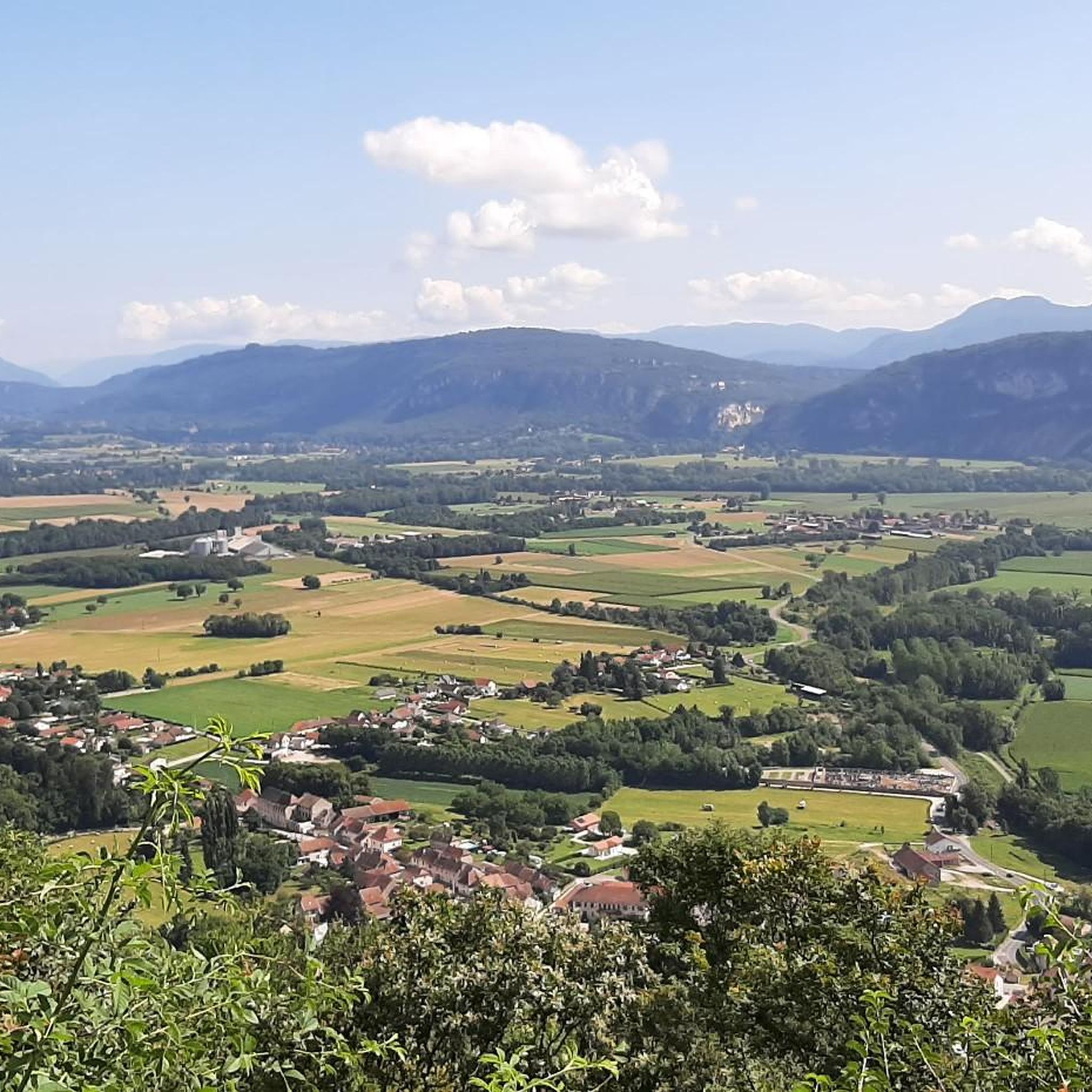
This is a spot highly appreciated by local cyclists for its tranquility, its little-used roads, and its shaded forest paths. Several slopes allow access to it
0
0
Built between 1942 and 1946 under the direction of architect V. Bollard, it has a unique span of 64 meters. It is one of the last large bridges made of dressed stone (from Parves) built in France.
0
0
The site is freely accessible on foot and offers four major marked routes to gently explore its riches.
0
0
The area is located on the border between the departments of Isère and Ain, right next to the Pont d’Évieu. A specific ViaRhôna link allows you to reach the center of the commune of Les Avenières directly from this point via small country roads.
0
0

unfortunately the swimming lake was closed during my visit
0
0

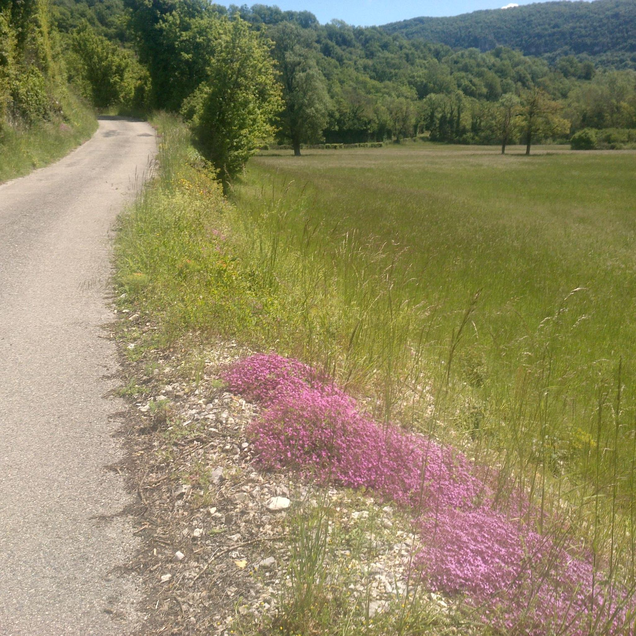
Very straight cycle path with a very beautiful view in the middle of nature
0
0

Here is the route for the ascent of the Col de la Crusille starting from Saint-Genix-sur-Guiers
1
0
Frequently Asked Questions
What kind of terrain can I expect on road cycling routes around Prémeyzel?
Road cycling routes in the Prémeyzel area feature a diverse landscape, including challenging ascents to mountain passes and scenic paths alongside river valleys. You'll find a mix of sustained climbs and undulating terrain, offering varied experiences for all road cyclists.
How many road cycling routes are available in the Prémeyzel region?
There are over 130 road cycling routes available around Prémeyzel, catering to various skill levels. This includes 15 easy routes, 80 moderate routes, and 42 difficult routes for those seeking a greater challenge.
Are there any easy road cycling routes suitable for beginners or casual riders in Prémeyzel?
Yes, Prémeyzel offers 15 easy road cycling routes. These routes typically feature less elevation gain and shorter distances, making them ideal for beginners or those looking for a more relaxed ride.
Where can I find routes with significant climbs or elevation gain near Prémeyzel?
For challenging climbs, consider routes that include mountain passes. For example, the difficult route Col du Chat (638 m) – Virignin footbridge loop from Peyrieu features substantial elevation gain. Another demanding option is the Col de Fay – Lac d'Ambléon loop from Peyrieu, which also includes significant ascents.
Are there any long-distance road cycling options in the Prémeyzel area?
Yes, the region offers several long-distance routes. For instance, the difficult Rock Tunnel on the ViaRhôna – Port of Massignieu-De-Rives loop from Brégnier covers over 100 kilometers, providing an extensive ride through varied landscapes.
What are some scenic viewpoints or natural attractions along the road cycling routes?
Many routes offer beautiful views and pass by natural attractions. You might encounter the Virignin footbridge, the serene Lac d'Ambléon, or even the impressive Glandieu Waterfall. The View of the Rhône from Belvédère du Site des Fils also offers panoramic vistas.
Can I find road cycling routes that are loops or circular in Prémeyzel?
Yes, many of the road cycling routes around Prémeyzel are designed as loops, allowing you to start and finish at the same point. Examples include the moderate Crusille Pass (573 m) – Virignin footbridge loop from Peyrieu and the Virignin footbridge – Col du Mont Tournier (851 m) loop from Brégnier-Cordon.
What do other road cyclists say about the routes in Prémeyzel?
The road cycling routes in Prémeyzel are highly regarded by the komoot community, with an average rating of 4.2 stars from over 160 reviews. Cyclists often praise the varied terrain, from challenging mountain passes to picturesque river valleys, and the opportunities for diverse riding experiences.
Are there any routes that incorporate parts of the ViaRhôna cycle path?
Yes, some routes in the Prémeyzel area connect with or run alongside sections of the ViaRhôna. For example, the difficult Rock Tunnel on the ViaRhôna – Port of Massignieu-De-Rives loop from Brégnier directly utilizes this popular cycle path, offering a unique experience.
What kind of landmarks or points of interest can I explore while road cycling in Prémeyzel?
Beyond natural beauty, you can explore various points of interest. Routes might pass by the ViaRhôna Cycle Path Along the Rhône Near Brens, offer views of the Balme bridge, or lead to unique geological formations like La Roche Percée.
Is Prémeyzel a good destination for advanced road cyclists looking for a challenge?
Absolutely. With 42 difficult routes, Prémeyzel offers ample challenges for advanced road cyclists. These routes often feature significant elevation gains and longer distances, such as the Col du Chat (638 m) – Virignin footbridge loop from Peyrieu, which includes substantial climbs to a mountain pass.
Most popular attractions around Prémeyzel

Get inspired with the komoot mobile app


Explore more
Browse the best Road cycling routes in other regions.
