The best walks and hikes around Armix
4.5
(508)
2,806
hikers
112
hikes
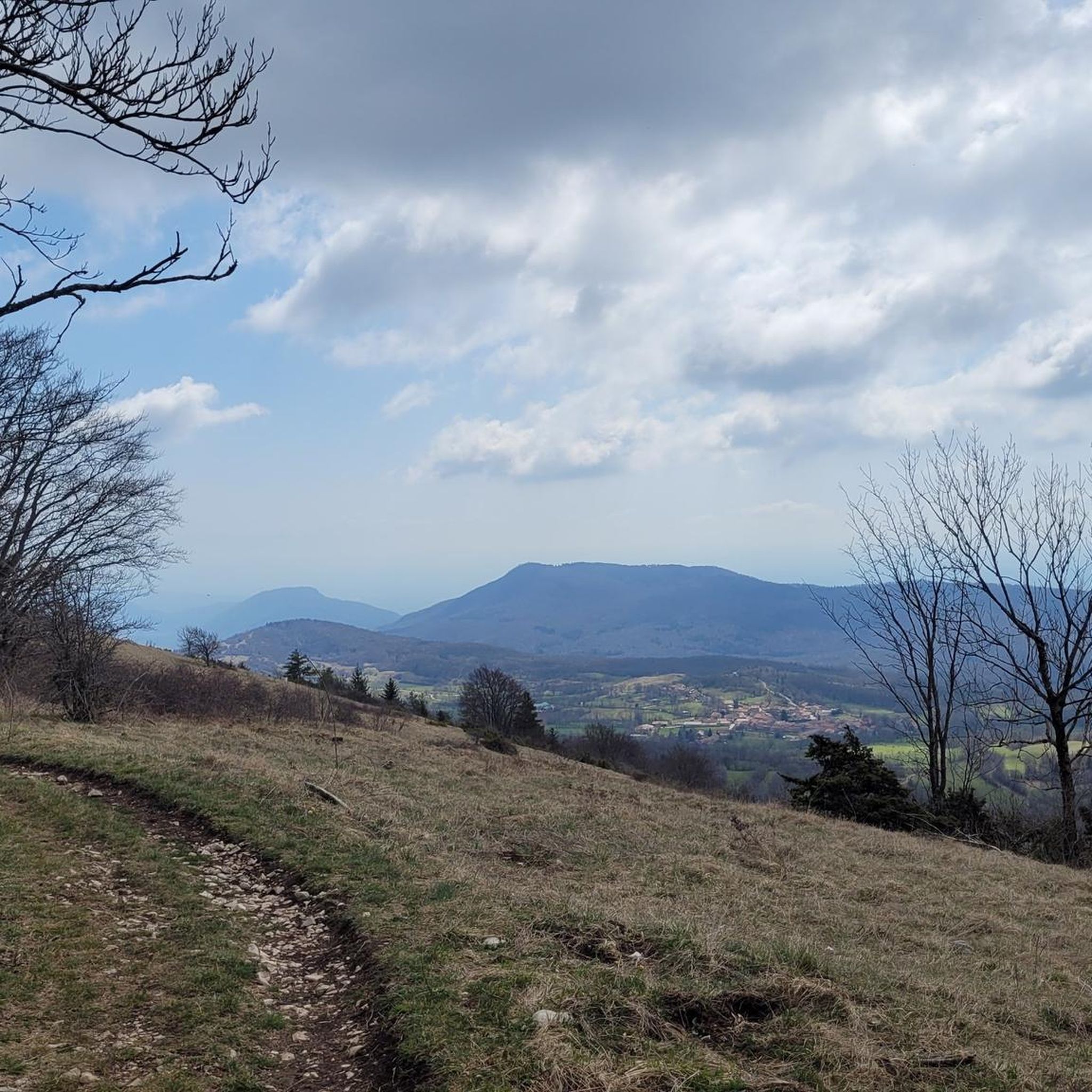
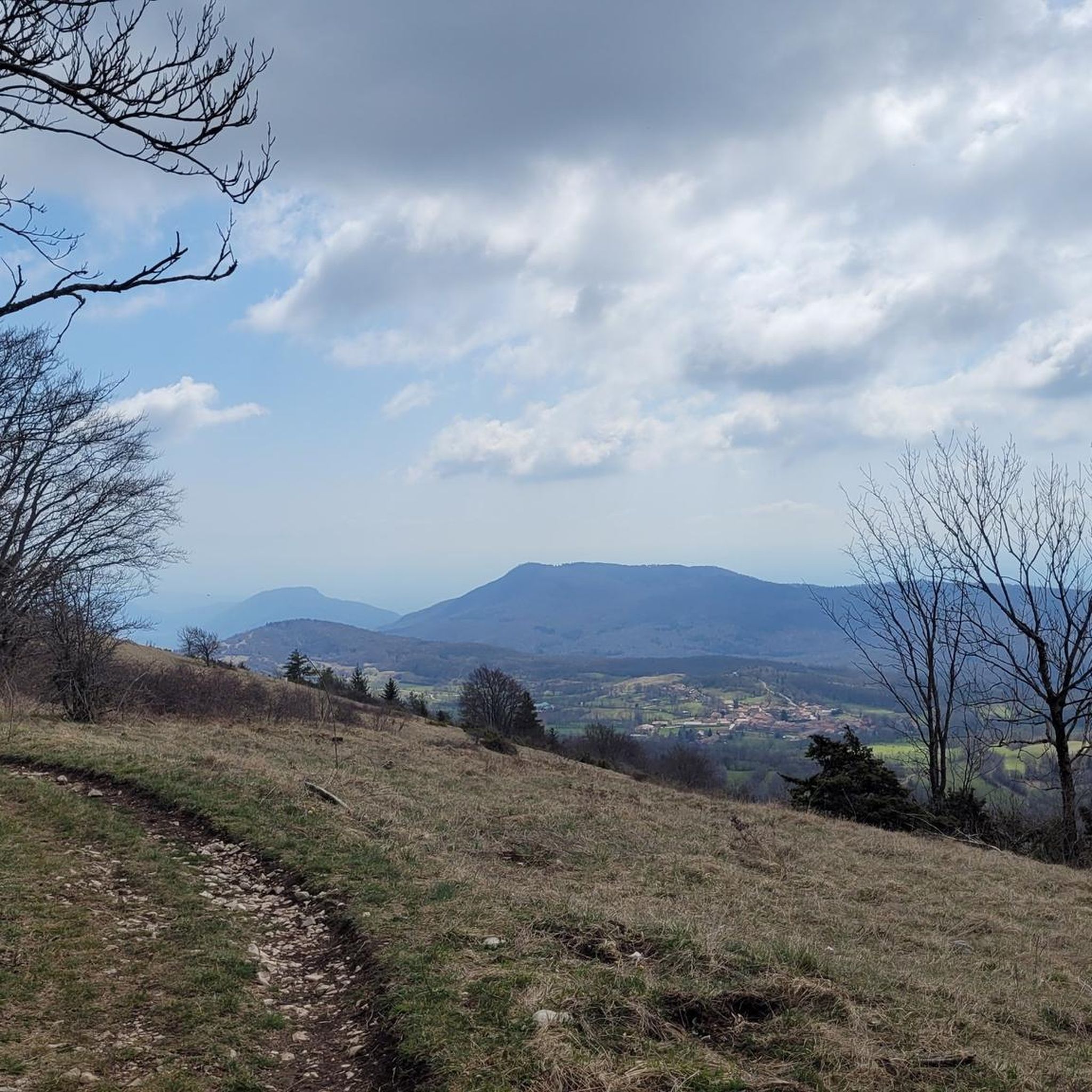
Hiking around Armix offers access to a landscape characterized by waterfalls, scenic viewpoints, and varied terrain within the Bugey region of France. The area features a network of trails that traverse forested areas and provide panoramic vistas. Hikers can explore routes that include natural features such as the Clairefontaine Waterfall and various elevated viewpoints.
Best hiking trails around Armix
- The most popular hiking route is Clairefontaine Waterfall Loop, a 3.5 miles (5.6 km) trail that takes 1 hour 54…
Last updated: June 27, 2026
4.4
(13)
80
hikers
5.59km
01:55
290m
290m
Hike the moderate 3.5-mile Claire Fontaine Waterfall loop, gaining 964 feet in elevation to a bucolic waterfall and Alps views.
4.0
(1)
15
hikers
14.8km
05:15
760m
760m
Hard hike. Very good fitness required. Mostly accessible paths. Sure-footedness required.

Sign up for free
5.0
(4)
24
hikers
21.0km
06:02
520m
520m
Hard hike. Very good fitness required. Easily-accessible paths. Suitable for all skill levels.
4.8
(4)
15
hikers
14.0km
04:09
380m
380m
Moderate hike. Good fitness required. Easily-accessible paths. Suitable for all skill levels.
5.0
(1)
16
hikers
23.6km
06:55
670m
670m
Hard hike. Very good fitness required. Easily-accessible paths. Suitable for all skill levels.
Get access to more routes and recommendations from other explorers.
Sign up for free
Already have an account?
Our route recommendations are based on thousands of hikes, rides, and runs completed by other people on komoot.
Start today with a free account
Your next adventure awaits.
Login or Signup


Tips from the Community

Wow, what a beautiful waterfall! 🤩🤩
1
0

Officially referenced pass and completely passable by road bike!
1
0
Orientation table which overlooks a beautiful viewpoint, accessible during the ascent of the Col de Ballon.
1
0

very beautiful waterfall in a shaded place, ideal for a moment of relaxation.
0
0


One of the most beautiful waterfalls in the region. Even if that day she was not too wet....The clear and fresh water of the Arena brings a little freshness!
0
0

Anyone who likes to push/carry their eBike up the steepest paths when it starts to rain over muddy, slippery roots, coarse, moss-covered stones and fallen tree trunks will find the perfect tour here. The increase can be found in taking a three-year-old daughter in a child seat. Seriously: The tour is really beautiful, almost a fairytale forest. But by no means advisable with the eBike. Highly recommended as a hiking trail!
0
0

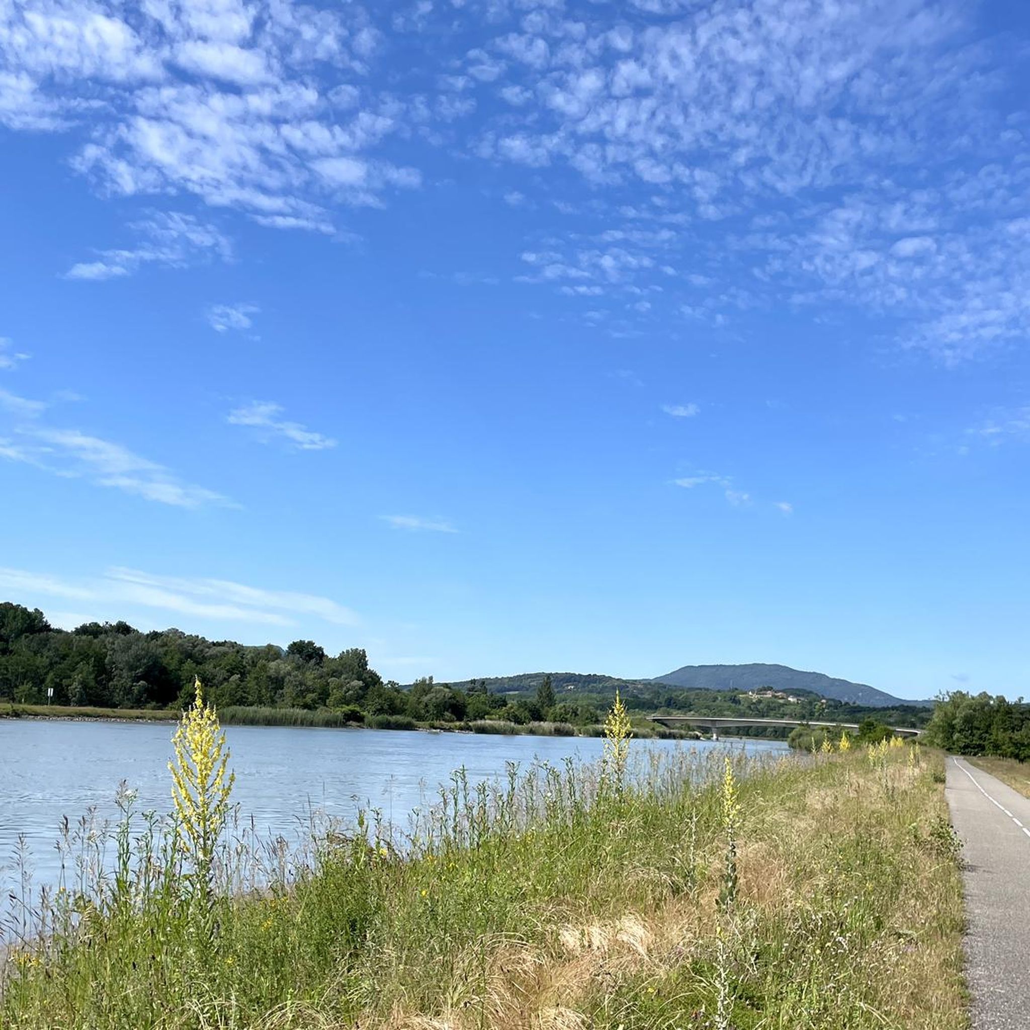
Very, very nice path along the river. Real fairytale forest! But DON'T CYCLE like we do! 🙈🙈🙈
0
0
Frequently Asked Questions
How many hiking trails are available around Armix?
Armix, situated in the Bugey region of France, offers a diverse network of over 110 hiking trails. These routes cater to various skill levels, with options ranging from easy strolls to more challenging ascents.
What types of landscapes can I expect to see while hiking in Armix?
The hiking trails around Armix are characterized by a mix of forested areas, impressive waterfalls, and panoramic viewpoints. You'll encounter varied terrain typical of the Bugey region, offering scenic vistas and natural features.
Are there any easy hiking trails suitable for beginners or families in Armix?
Yes, Armix has over 35 easy hiking routes. A great option is the Orientation table – Claire Fontaine Waterfall loop from Virieu-le-Grand, an easy 4.9 km path that offers pleasant views and passes by the Claire Fontaine Waterfall.
Where can I find waterfalls along the hiking trails in Armix?
Waterfalls are a prominent feature of the Armix area. You can explore highlights such as the Brive Waterfall, Cerveyrieu Waterfall, Claire Fontaine Waterfall, and Cascade des Dards. Many routes, like the Clairefontaine Waterfall Loop, incorporate these natural wonders.
Are there any challenging hikes for experienced hikers in Armix?
Absolutely. For experienced hikers, there are 13 difficult routes. One challenging option is the Claire Fontaine Waterfall – Sérémond Viewpoint loop from Virieu-le-Grand, a 14.8 km trail that takes about 5 hours 15 minutes to complete and leads to the Sérémond Viewpoint.
Can I find circular hiking routes in Armix?
Yes, many of the trails in Armix are designed as circular routes, allowing you to start and end at the same point. Examples include the Clairefontaine Waterfall Loop and the Panorama of the Bugey – Petit Pertuis Pass loop from Ordonnaz.
What do other hikers say about the trails in Armix?
The hiking routes in Armix are highly regarded by the komoot community, holding an average rating of 4.5 stars from over 400 reviews. Hikers often praise the diverse terrain, the beauty of the waterfalls, and the stunning panoramic views.
Are there any notable viewpoints or mountain passes to explore around Armix?
Yes, the region offers several impressive viewpoints and mountain passes. You can visit the Petit Pertuis Pass, Fosses Pass, and the Col de Ballon (929 m). The Sérémond Viewpoint is also a popular destination, offering expansive vistas.
What is the typical duration for hikes in Armix?
Hiking durations in Armix vary significantly depending on the trail's length and difficulty. Easy routes like the Orientation table – Claire Fontaine Waterfall loop can be completed in about 2 hours, while more difficult and longer trails, such as the Claire Fontaine Waterfall – Sérémond Viewpoint loop, may take over 5 hours.
Are there any hikes that offer panoramic views of the Bugey region?
Many trails in Armix provide stunning panoramic views. The Panorama of the Bugey – Petit Pertuis Pass loop from Ordonnaz is specifically designed to showcase the expansive vistas of the Bugey region, offering breathtaking scenery throughout the hike.
What is the best time of year to go hiking in Armix?
The Bugey region, where Armix is located, generally offers pleasant hiking conditions from spring through autumn. Spring brings lush greenery and flowing waterfalls, while autumn provides vibrant foliage. Summer is also popular, but be prepared for warmer temperatures. Winter hiking is possible, but conditions can vary, especially at higher elevations or after snowfall.
Most popular attractions around Armix

Get inspired with the komoot mobile app


Explore more
Browse the best Hikes in other regions.
