The best running trails around Vaux-En-Bugey
4.4
(23)
1,676
runners
14
runs
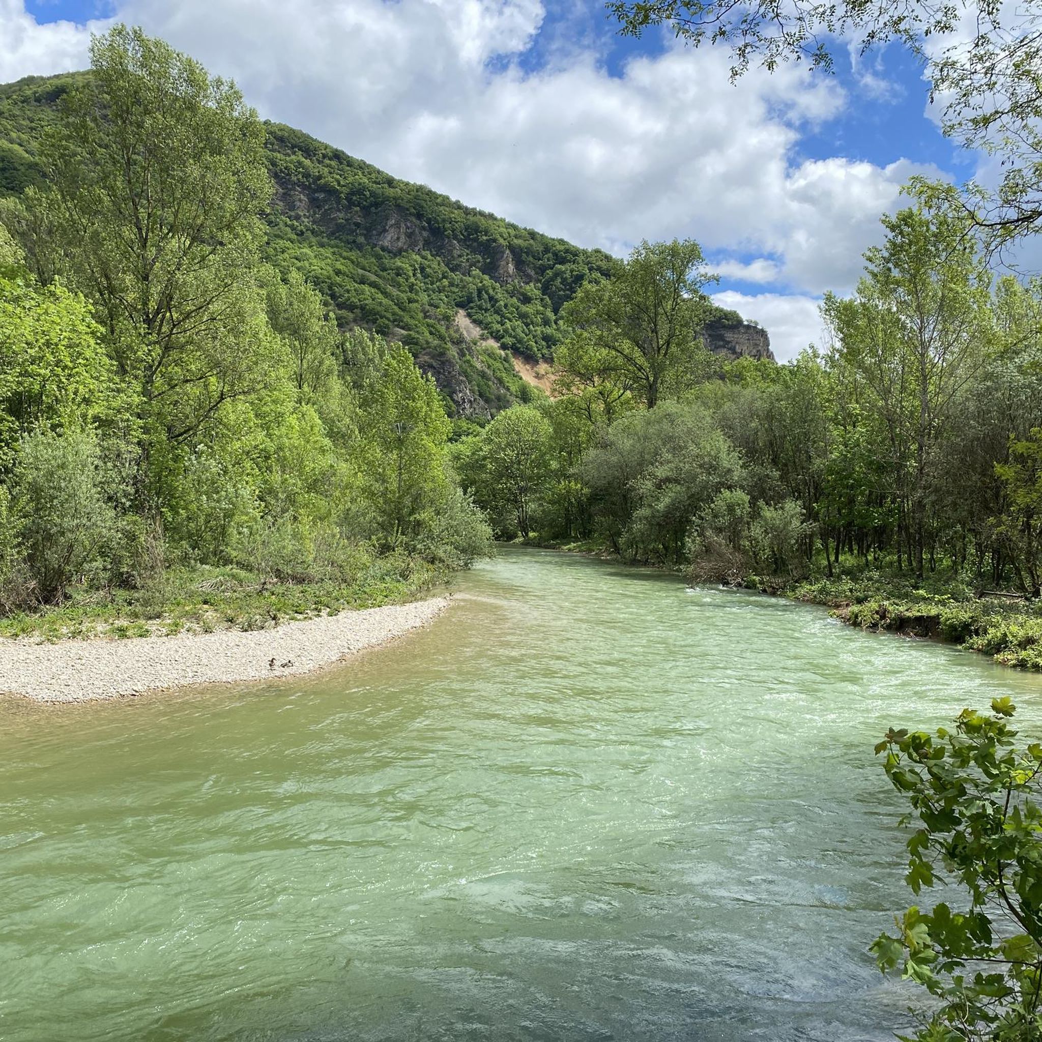
Jogging routes around Vaux-En-Bugey traverse a diverse landscape within the Ain department of eastern France. The region is characterized by its hilly and forested terrain, with elevations ranging from approximately 250 meters to over 680 meters. Runners can expect varied elevation changes, including routes with significant cumulative ascent, and paths that wind through river valleys and across plateaus.
Best jogging routes around Vaux-En-Bugey
- The most popular jogging route is Vue sur la plaine de l'Ain loop from Vaux-en-Bugey, a…
Last updated: July 1, 2026
59
runners
10.4km
01:10
120m
120m
Moderate run. Good fitness required. Mostly paved surfaces. Suitable for all skill levels.
39
runners
8.65km
00:59
140m
140m
Moderate run. Good fitness required. Mostly paved surfaces. Suitable for all skill levels.

Sign up for free
19
runners
9.98km
01:23
360m
360m
Hard run. Very good fitness required. Mostly paved surfaces. Suitable for all skill levels.
7
runners
23.2km
03:08
800m
800m
Hard run. Very good fitness required. Mostly paved surfaces. Suitable for all skill levels.
5
runners
5.71km
00:38
50m
50m
Moderate run. Good fitness required. Mostly paved surfaces. Suitable for all skill levels.
Get access to more routes and recommendations from other explorers.
Sign up for free
Already have an account?
Our route recommendations are based on thousands of hikes, rides, and runs completed by other people on komoot.
Start today with a free account
Your next adventure awaits.
Login or Signup
Tips from the Community


Wonderful historic tower dominating the town of Amberieu in Bugey with its marshalling yard
0
0

“Each of these crosses can tell its own story and what motivated people to build “their” cross on this spot. (...) These crosses were erected as visible signs and attract the attention of many people. The cross is a symbol of life. It stands as a sign of our Christian hope and wants to direct our gaze to Jesus Christ, who conquered death (…). The cross is part of our lives, just as it was part of the life of Jesus. So I hope that many people ... visit the crosses, whether as places of silence and taking a breath before God, whether as places of community gathering, prayer and praise of God. (Text source: Dean Rainald M. Ollig in: “Crosses... Small sacred monuments as signs of popular piety”)
2
0

Stop at Saint-Sorlin-en-Bugey and stroll through its narrow streets. The fresco of Saint-Christophe dating from the 16th century, its stone houses and its Gothic-style church invite you to travel back in time.
0
0

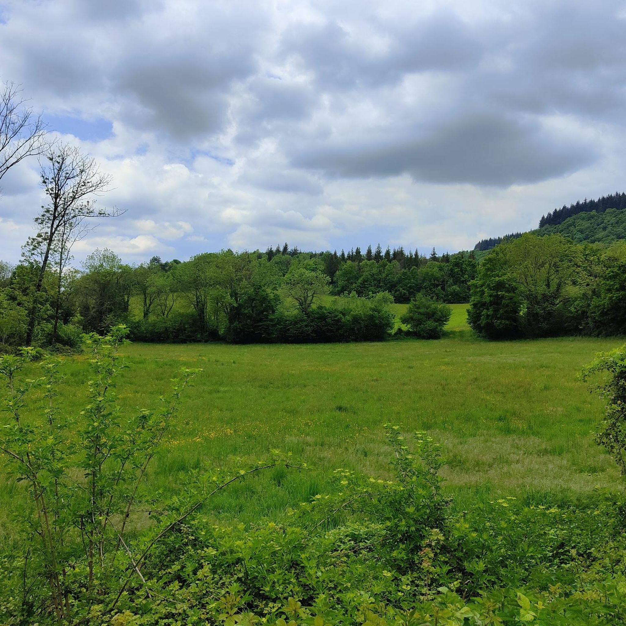
Magnificent course in the undergrowth with a nice drop
0
0

but after this big climb, it is only happiness to go to the cross of Bramafan
0
0
short break, pause to start the long climb.
0
0
Frequently Asked Questions
How many running routes are available in Vaux-en-Bugey?
Komoot offers a selection of 15 diverse running routes around Vaux-en-Bugey. These include 9 moderate trails and 6 more challenging options, catering to various fitness levels.
What kind of terrain can I expect on the jogging trails in Vaux-en-Bugey?
The terrain around Vaux-en-Bugey is quite varied, characterized by its hilly and forested landscapes. You'll find paths winding through river valleys and across plateaus, with elevations ranging from approximately 250 meters to over 680 meters. This means you can expect significant elevation changes, offering a good challenge for runners.
Are there any challenging running routes for experienced runners in Vaux-en-Bugey?
Yes, for experienced runners seeking a challenge, Vaux-en-Bugey offers several difficult routes. One notable option is the Saint-Sorlin-en-Bugey – Croix de Bramafan loop from Vaux-en-Bugey, which spans over 23 km with an elevation gain of more than 800 meters. Another demanding trail is the Running loop from Vaux-en-Bugey, featuring a 367-meter ascent over nearly 10 km.
What natural features or landmarks can I see while running in the area?
The region is rich in natural beauty. You can encounter features like the 'Cuves du Buizin' and the 'Cascade du Buizin' (Buizin Waterfall) on some trails. For panoramic views, Mont Luisandre offers rewarding vistas. Additionally, the Croix de Bramafan is a significant landmark you might pass on longer routes.
Are there any running routes that offer scenic views?
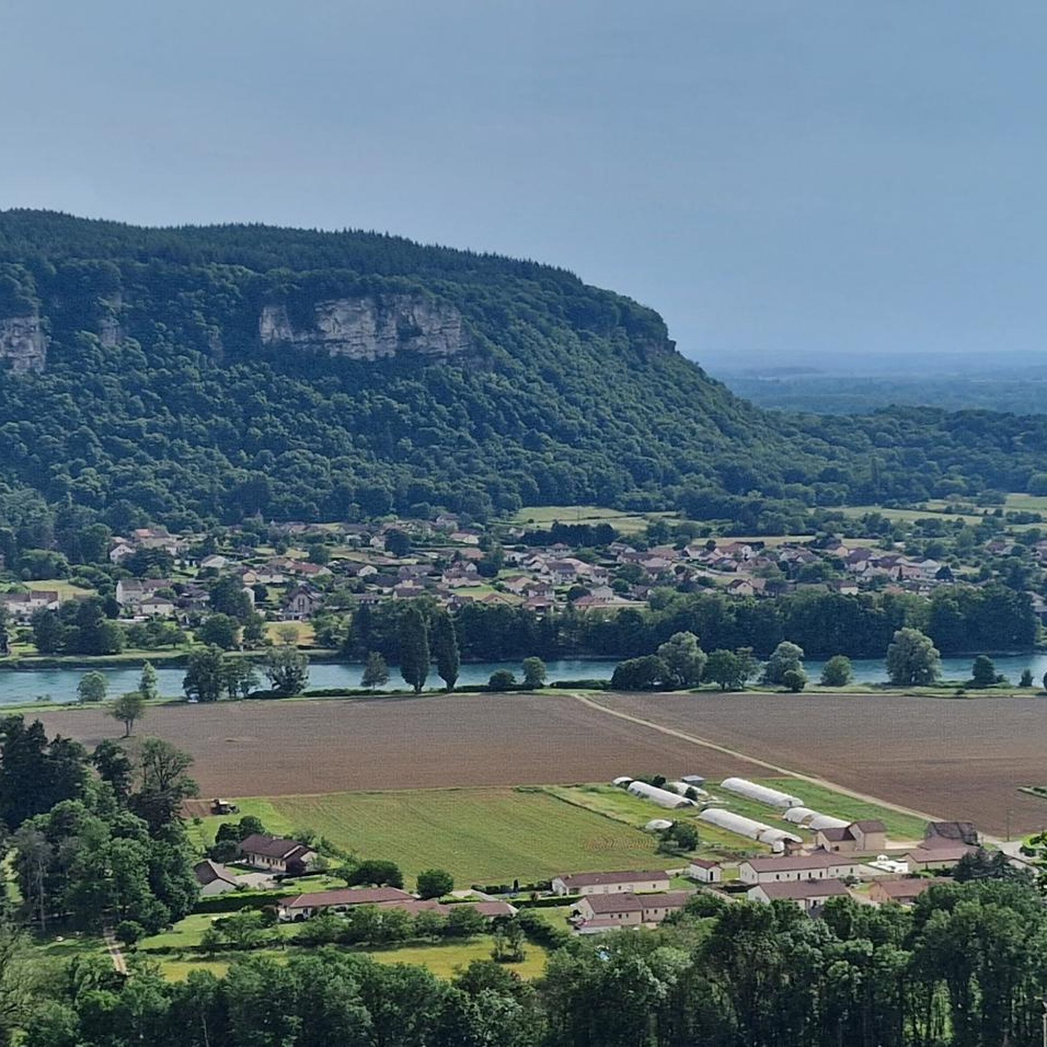
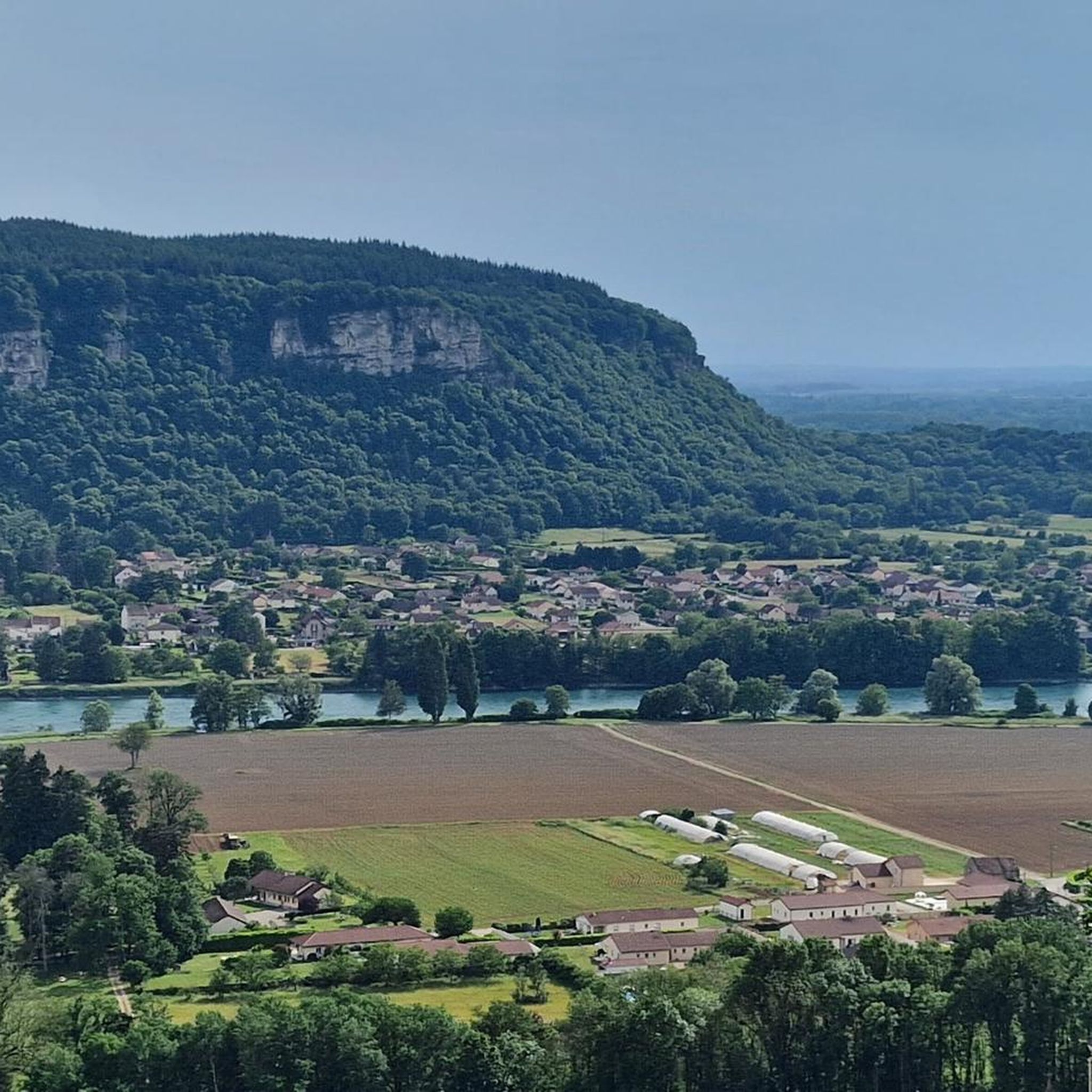
Absolutely. Many routes provide picturesque views. The Vue sur la plaine de l'Ain loop from Vaux-en-Bugey offers lovely views over the Ain plain. Another excellent choice is the Vue sur Vaux-en-Bugey loop from Vaux-en-Bugey, which provides scenic outlooks over the village itself from its hilly terrain.
What do other runners think about the trails in Vaux-en-Bugey?
The running routes in Vaux-en-Bugey are highly regarded by the komoot community, boasting an average rating of 4.6 stars from over 19 reviews. Runners often praise the diverse landscapes, from dense forests to river valleys, and appreciate the variety of options available for different ability levels.
Can I find any moderate-difficulty running trails suitable for a regular jog?
Yes, there are several moderate-difficulty trails perfect for a regular jog. The Tour Saint-Denis loop from Vaux-en-Bugey is a popular moderate path, covering about 8.6 km with varied terrain. It's a great option for a consistent workout without extreme challenges.
Are there any specific attractions or points of interest near the running routes?
Beyond the natural features, the region offers cultural and historical points of interest. You could visit Allymes Castle or explore the fascinating La Balme Caves. The area also features several beautiful lakes, such as Lac Bleu on the Gardon, which can be explored after your run.
What is the typical elevation gain on running routes in Vaux-en-Bugey?
The elevation gain varies significantly depending on the route. Moderate trails might have ascents around 100-150 meters, such as the Vue sur la plaine de l'Ain loop with about 117 meters of gain. More difficult routes can feature substantial climbs, with some exceeding 800 meters over longer distances, like the Saint-Sorlin-en-Bugey – Croix de Bramafan loop.
Are there any routes that pass through the Bugey vineyards?
While specific komoot routes listed don't explicitly mention passing through vineyards, the Bugey region is known for its vineyards clinging to steep slopes. Jogging in these areas could offer unique scenery and insights into the local culture. For more information on the Bugey vineyards, you can visit ain-tourisme.com.
What is the best time of year for running in Vaux-en-Bugey?
Vaux-en-Bugey offers diverse conditions throughout the year. Spring and autumn generally provide pleasant temperatures and beautiful scenery, making them ideal for running. Summer can be warm, but the extensive forests offer shaded paths. Winter running is possible, but conditions may vary with snow or ice on higher elevations.
Most popular routes around Vaux-En-Bugey
Most popular attractions around Vaux-En-Bugey

Get inspired with the komoot mobile app


Explore more
Browse the best Running Trails & Routes in other regions.
