The best walks and hikes around Cormaranche-En-Bugey
4.4
(480)
2,606
hikers
11
hikes
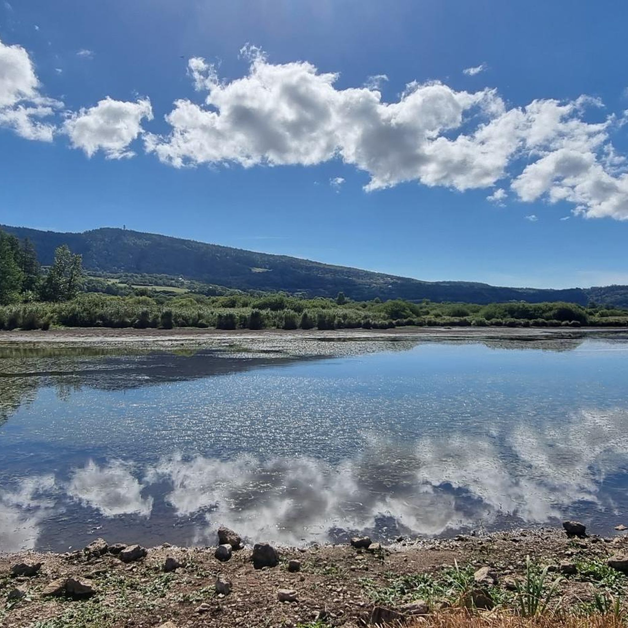
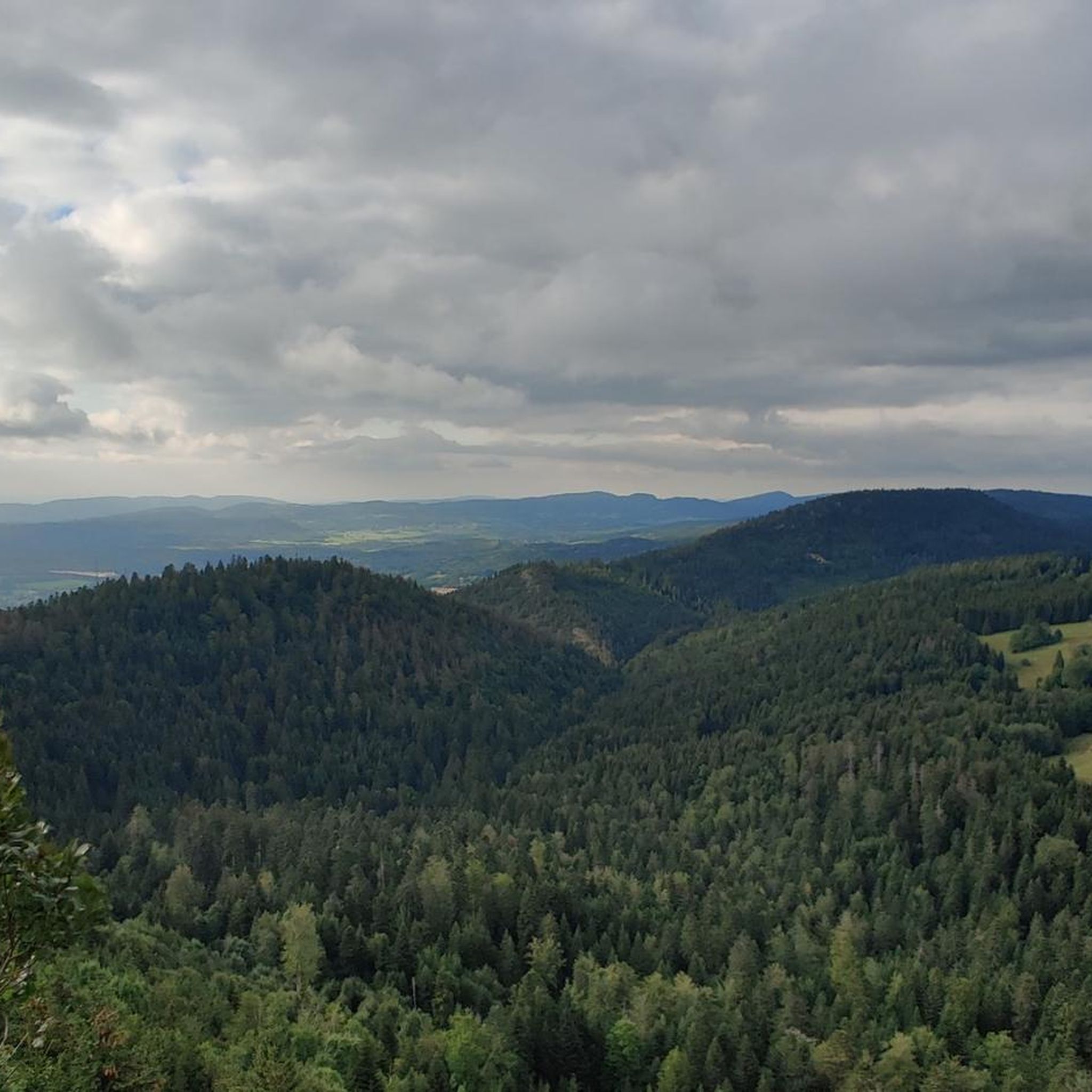
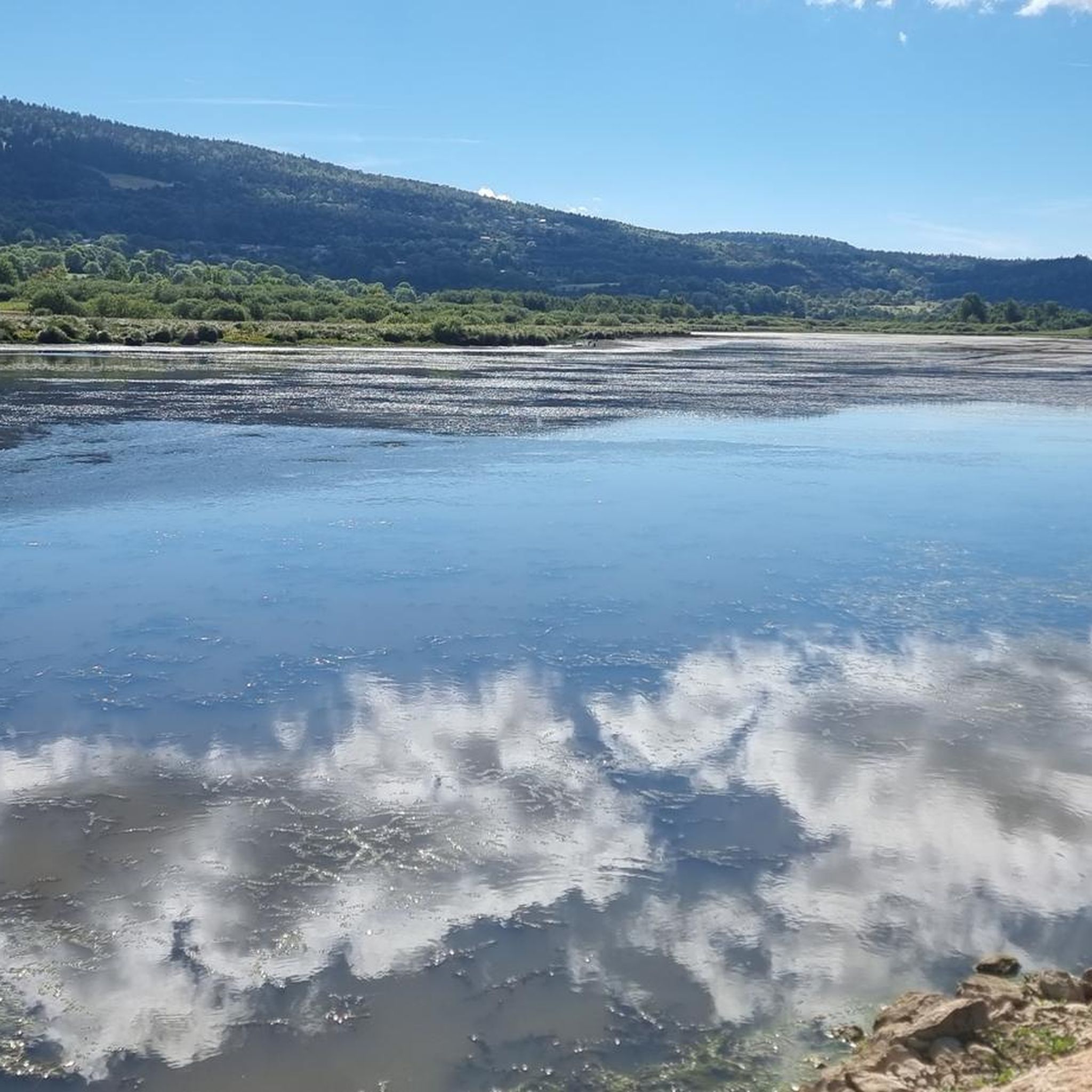
Hiking around Cormaranche-En-Bugey offers diverse landscapes characterized by its lakes, such as Étang des Lésines, and prominent viewpoints like Belvédère de Planachat. The region features a mix of forests, open areas, and water features, providing varied terrain for outdoor activities. These hiking trails near Cormaranche-En-Bugey cater to different skill levels, from gentle lakeside paths to more challenging ascents.
Best hiking trails around Cormaranche-En-Bugey
- The most popular hiking route is Lake Lésines and Belvédère de Planachat, a 12.0 miles (19.3…
Last updated: October 14, 2026
4.7
(3)
21
hikers
9.47km
02:35
150m
150m
Moderate hike. Good fitness required. Easily-accessible paths. Suitable for all skill levels.
5.0
(3)
24
hikers
9.47km
03:00
250m
250m
Moderate hike. Good fitness required. Mostly accessible paths. Sure-footedness required.

8
hikers
13.3km
04:09
490m
490m
Moderate hike. Good fitness required. Mostly accessible paths. Sure-footedness required.
5.0
(1)
6
hikers
8.75km
03:09
440m
440m
Hard hike. Good fitness required. Sure-footedness, sturdy shoes and alpine experience required.
8
hikers
7.05km
02:25
370m
370m
Moderate hike. Good fitness required. Easily-accessible paths. Suitable for all skill levels.
Get access to more routes and recommendations from other explorers.
Already have an account?
Our route recommendations are based on thousands of hikes, rides, and runs completed by other people on komoot.
Start today with a free account
Your next adventure awaits.

Tips from the Community

The Cormaranche Bike Park is made up of seven downhill trails, five enduro trails, and a Ludi Park for the youngest. Enough to have fun whatever your level. Picnic tables, a barbecue area, and a bivouac area are also available on site.
0
0

Little-known pass but very beautiful little road!
0
0

Nice climb, unfortunately the road from Ruffieu has (recently?) been completely covered in gravel that accumulates on the bends. Uphill it's okay, but risky on the descent. It's strange because the road doesn't seem particularly damaged under the gravel...
0
0

The Mélogne mill, built in 1495, operated until the First World War, when a fire just after the last war permanently destroyed it. https://www.hautbugey-tourisme.com/patrimoine-naturel/cascade-de-melogne/
0
0

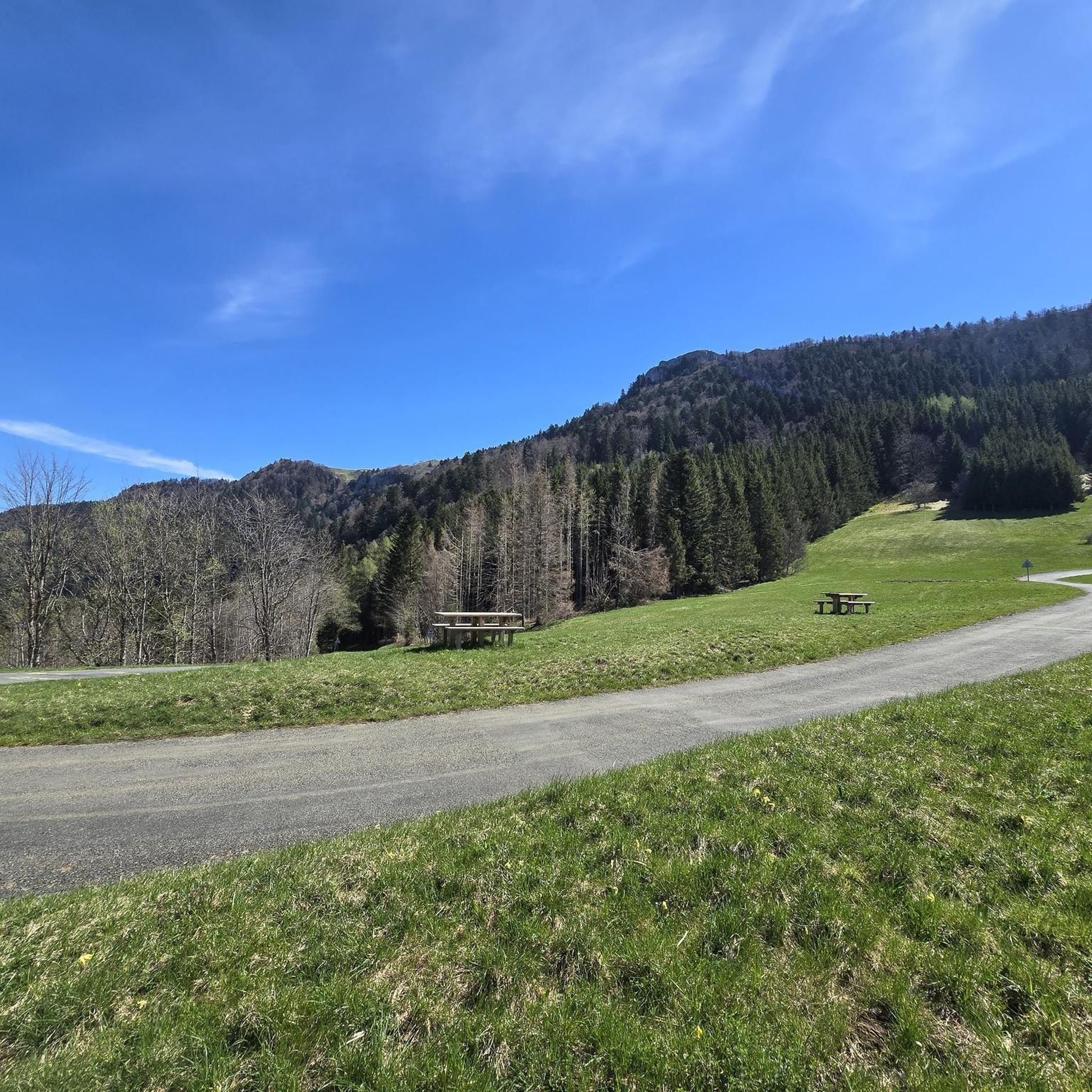
Col de la Clye, perched on a discreet road between the Combe du Val and the Retord plateau, unveils a peaceful pastoral setting. Its isolated atmosphere makes it a pretty passage on the Grandes Traversées du Jura route.
1
0

Best done in the morning in case of extreme heat!
0
0

Very quiet, sometimes steep climb. Road could be a lot better. Glad I had 35mm tires.
0
0
Frequently Asked Questions
How many hiking trails are available around Cormaranche-En-Bugey?
There are over 130 hiking routes in the Cormaranche-En-Bugey region, offering a wide variety of options for all skill levels. This includes 28 easy, 73 moderate, and 32 difficult trails.
What types of terrain can I expect on hikes in Cormaranche-En-Bugey?
The region offers diverse landscapes, from tranquil lakeside paths around Étang des Lésines to ascents leading to prominent viewpoints like Belvédère de Planachat. You'll encounter a mix of forests, open areas, and various water features, including waterfalls.
Are there easy hiking options for beginners or casual walkers?
Yes, Cormaranche-En-Bugey has 28 easy hiking routes. A great option for a relaxed walk is the Étang des Lésines loop from Hauteville-Lompnes, which is 4.8 miles (7.7 km) and takes about 2 hours to complete, offering pleasant waterside paths.
Are there any challenging day hikes in Cormaranche-En-Bugey?
For those seeking a challenge, there are 32 difficult trails in the area. One such route is the Lake Lésines and Belvédère de Planachat, a 12.0 miles (19.3 km) hike with significant elevation gain, typically taking nearly 6 hours.
Can I find circular hiking routes in the area?
Yes, many routes in Cormaranche-En-Bugey are circular. For example, the Lesines Pond – Melogne Waterfalls loop from Hauteville-Lompnes is a moderate 6.1 miles (9.8 km) path that allows you to return to your starting point after exploring the pond and waterfalls.
Are there any waterfalls to see on the hiking trails?
Absolutely! The region is known for its beautiful waterfalls. You can visit the Melogne Waterfalls, Cerveyrieu Waterfall, and Claire Fontaine Waterfall. Some routes, like the Lesines Pond – Melogne Waterfalls loop, incorporate these natural wonders.
Where can I find the best viewpoints in Cormaranche-En-Bugey?
The Belvédère de Planachat is a prominent viewpoint offering expansive views of the surrounding landscape. Several trails, including the challenging one mentioned, lead to this scenic spot.
What other natural attractions can I explore near Cormaranche-En-Bugey?
Beyond the trails, you can explore the Thurignin Gorges for dramatic scenery. The area also features several mountain passes like Rochette Pass and Valorse Pass, which are popular with cyclists and offer additional scenic spots.
Are the hiking trails in Cormaranche-En-Bugey suitable for families?
Many trails are suitable for families, especially the easier and moderate routes. The Étang des Lésines loop is a good choice, offering relatively flat terrain around the pond, perfect for a family outing.
What do other hikers enjoy the most about hiking in Cormaranche-En-Bugey?
The area is highly rated by the komoot community, with an average score of 4.5 stars from over 300 reviews. Hikers often praise the diverse landscapes, the tranquility of the lakes, and the rewarding views from spots like Planachat.
Is there public transport access to hiking trailheads in Cormaranche-En-Bugey?
While some trailheads might be accessible by local bus services, public transport options can be limited in this rural region. It's generally recommended to check local bus schedules in advance or consider traveling by car for more flexibility to reach various starting points.
What are the winter hiking conditions like in Cormaranche-En-Bugey?
During winter, higher elevations and shaded areas can experience snow and ice, making some trails more challenging or impassable. Lower-lying paths, especially around the lakes, might remain accessible but can be muddy. Always check local weather conditions and trail reports before heading out in winter.
Are there any hikes that feature both waterfalls and viewpoints?
Yes, for a combination of both, consider the Cascase du trou de la Marmite – Planachat Viewpoint loop from Hauteville-Lompnes. This moderate 15 km route includes a waterfall and leads to the panoramic Planachat Viewpoint.
Most popular routes around Cormaranche-En-Bugey
Most popular attractions around Cormaranche-En-Bugey

Get inspired with the komoot mobile app


Explore more
Browse the best Hikes in other regions.
