The best road cycling routes around Chaley
4.5
(76)
1,689
riders
105
rides
Road cycling routes around Chaley are set within the Ain department of the Auvergne-Rhône-Alps region, offering varied terrain for cyclists. The area, situated at the southern tip of the Jura Massif, features mountainous landscapes, dense forests, and plateaus. Altitudes range from 394 meters to 910 meters, providing options from moderate climbs to challenging ascents. The region is characterized by its network of roads suitable for different cycling abilities.
Best road cycling routes around Chaley
- The most popular road cycling route…
Last updated: October 20, 2026
5.0
(4)
95
riders
85.0km
05:02
2,160m
2,160m
Hard road ride. Very good fitness required. Mostly well-paved surfaces and easy to ride.
4.2
(5)
87
riders
64.1km
02:58
770m
770m
Moderate road ride. Good fitness required. Mostly well-paved surfaces and easy to ride.

4.0
(1)
59
riders
87.8km
04:25
1,420m
1,420m
Hard road ride. Very good fitness required. Mostly well-paved surfaces and easy to ride.
5.0
(3)
44
riders
49.9km
02:30
800m
800m
Moderate road ride. Good fitness required. Mostly well-paved surfaces and easy to ride.
5.0
(4)
53
riders
36.4km
02:02
820m
820m
Moderate road ride. Good fitness required. Mostly well-paved surfaces and easy to ride.
Get access to more routes and recommendations from other explorers.
Already have an account?
Our route recommendations are based on thousands of hikes, rides, and runs completed by other people on komoot.
Start today with a free account
Your next adventure awaits.
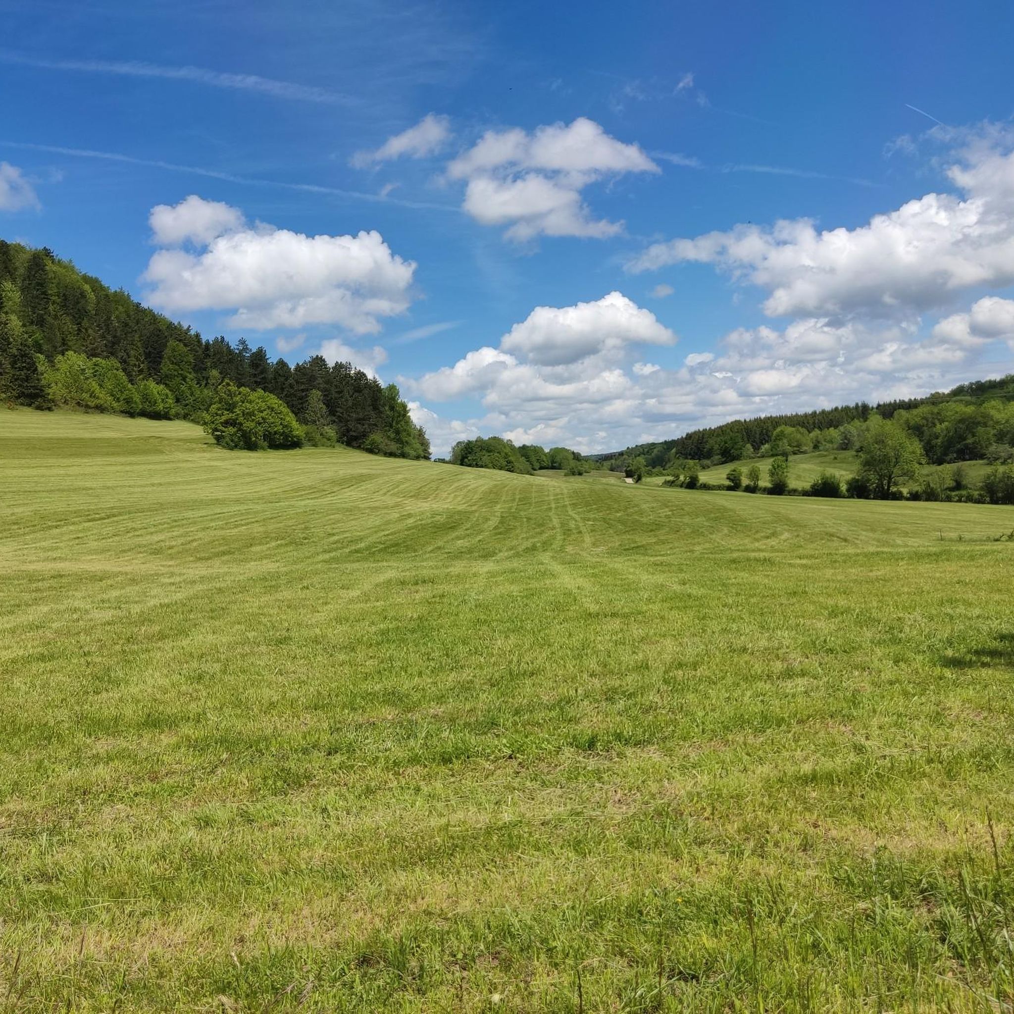
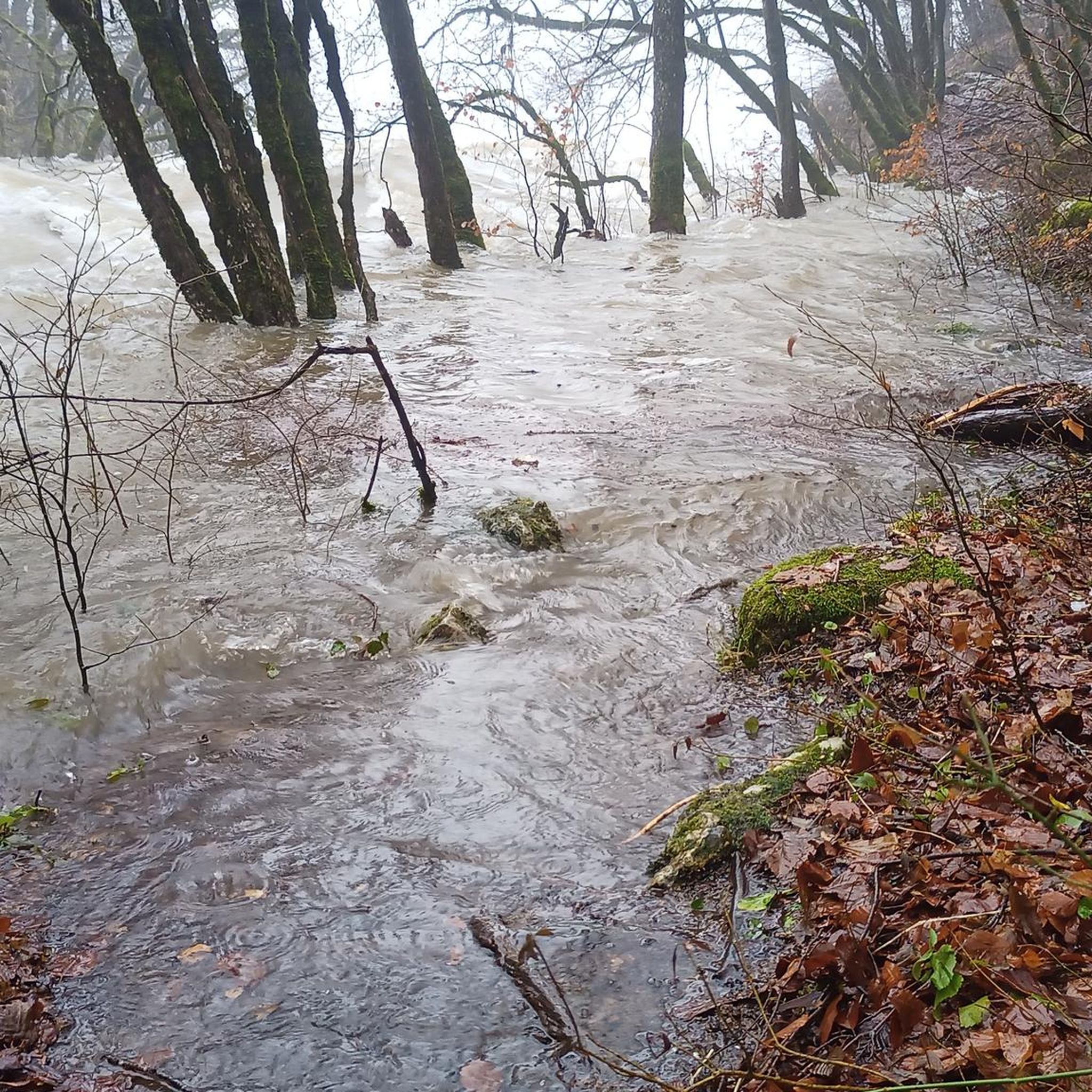
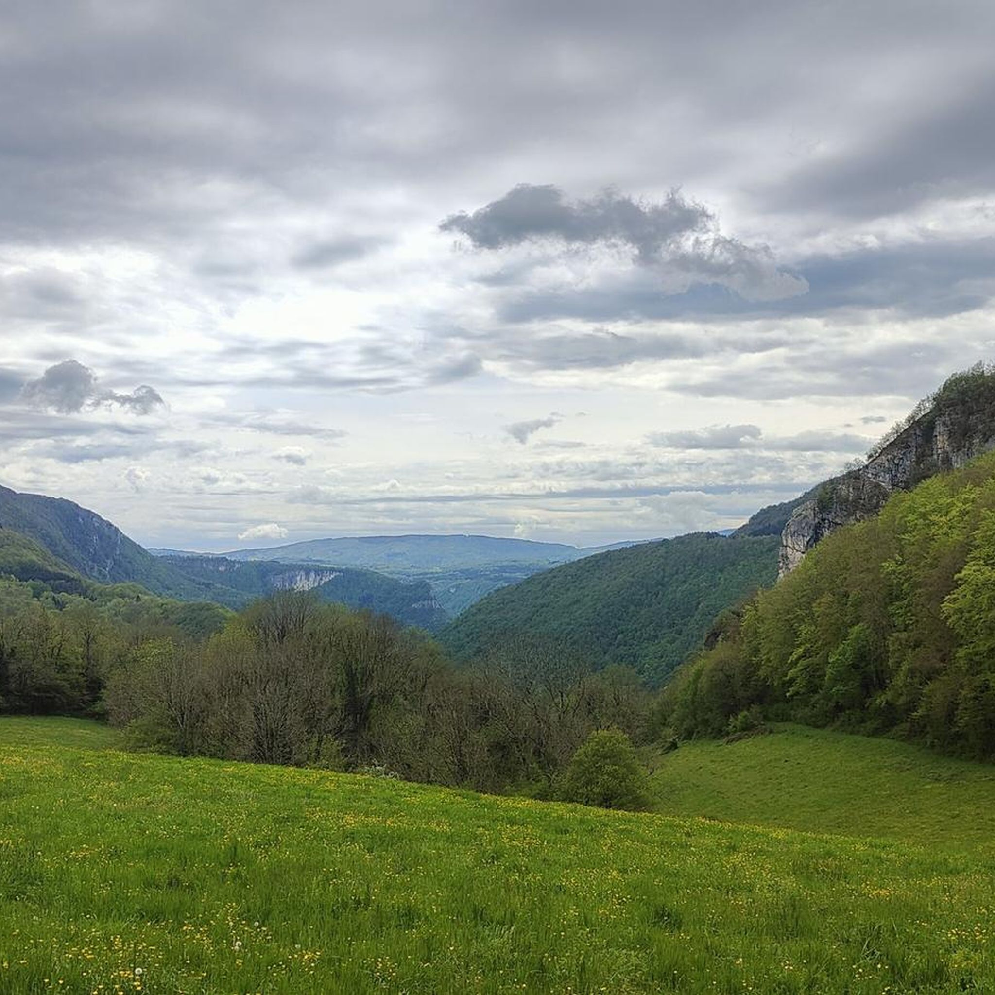

Tips from the Community

The Lac de Nantua is a superb body of water of 141 hectares. In the heart of the Jura, it offers an ideal setting for practicing a multitude of sports. It is even possible to swim in its waters.
2
0
The Marron ponds are named after a family from Brénod, it is not a reference to the color of the water. Only one of them remains filled with water all year round. This one served as a water reserve and fishing spot for the monks of the Meyriat abbey. In spring, a multitude of water lilies cover the surface.
0
0
These two lovely ponds were built by humans in 1234. They were attached to the old abbey of Saint-Sulpice, the ruins of which can be found a little further north. They offer a pleasant setting for riding in peace and quiet.
0
0

Here is the route for the ascent of the Col de la Rochette starting from Ruffieu
1
0
Here is the route for the ascent of the Col de Cuvillat starting from Champdor
1
0
Here is the route for the ascent of the Col du Cruchon starting from Corcelles
1
0

With this memorial, the community commemorates several victims of the Second World War. The 'camp des marais de Chautagne', where Jewish citizens were interned, was located in the Saumont district. The memorial site here—designed with the so-called 'Lorraine Cross' (a cross with two crossbars at the top) as its central element—is dedicated to courageous resistance fighters against the Nazi regime.
0
0
Frequently Asked Questions
How many road cycling routes are available around Chaley?
There are over 90 road cycling routes around Chaley, offering a wide variety of options for different preferences and skill levels. The region is part of the Ain department, which boasts over 2,222 kilometers of road cycling routes.
What kind of terrain can I expect on road cycling routes near Chaley?
The terrain around Chaley is diverse, ranging from 394 meters to 910 meters in altitude. You'll find mountainous landscapes, dense forests, and plateaus, as Chaley is situated at the southern tip of the Jura Massif. This offers a mix of moderate climbs and challenging ascents, as well as scenic rides along rivers like the Ain and Rhône.
Are there road cycling routes for different skill levels in Chaley?
Yes, Chaley offers routes for various abilities. You'll find 8 easy routes for more relaxed rides, 43 moderate routes that provide a good challenge, and 43 difficult routes for experienced cyclists seeking significant elevation gains. The region's extensive network, including the 'Ain à Vélo®' routes, caters to all levels.
What natural features can I see while road cycling near Chaley?
Road cycling routes around Chaley often pass by beautiful natural features. You can encounter the dramatic landscapes of the Jura Massif, dense forests, and the scenic Plateaux d'Hauteville. Keep an eye out for the Ain and Rhône rivers, and consider a stop at the refreshing Melogne Waterfalls or the Charabotte Waterfall.
Are there any historical sites or landmarks accessible by road bike?
Yes, you can incorporate historical sites into your rides. The medieval Allymes Castle, perched overlooking Ambérieu-en-Bugey, offers panoramic views and is a notable landmark in the area. The region also features charming historic towns like Pérouges.
What is the best time of year for road cycling in Chaley?
The best time for road cycling in Chaley is generally from spring through autumn. During these seasons, the weather is more favorable, and the natural landscapes are at their most vibrant. The region's varied altitudes mean conditions can change, so checking local forecasts is always recommended.
Are there challenging climbs for experienced road cyclists near Chaley?
Absolutely. The Bugey region, where Chaley is located, is celebrated for its 'mythical climbs and breathtaking panoramas.' A significant draw for serious cyclists is the proximity to the legendary Grand Colombier pass, a frequent feature in the Tour de France. Routes like Col de Bérentin – View of Lake Nantua loop from Hauteville-Lompnes offer substantial elevation gains and are rated as difficult.
Can I find circular road cycling routes around Chaley?
Yes, many of the road cycling routes around Chaley are designed as loops, allowing you to start and finish in the same location. Examples include the Col du Cruchon (903 m) – Corlier loop from Hauteville-Lompnes and the Cuvillat Pass – Rochette Pass loop from Hauteville-Lompnes, which are popular choices among local cyclists.
What do other road cyclists enjoy most about road cycling in Chaley?
The area is highly rated by the komoot community, with an average score of 4.6 stars from over 60 reviews. Cyclists often praise the varied terrain, the challenging climbs, and the stunning natural beauty of the Jura Massif and the Bugey region. The extensive network of roads suitable for different abilities is also a highlight.
Are there any long-distance cycling routes that pass through or near Chaley?
Yes, for those interested in longer tours, the ViaRhôna cycling itinerary, an 815-kilometer route connecting Lake Geneva to the Mediterranean, traverses the southern Bugey region, offering gentle rides along the Rhône river. Additionally, the Grande Traversée du Jura (GTJ) network also extends into the Bugey area, providing further opportunities for extended cycling adventures.
Where can I find more information about road cycling in the wider Ain department?
The Ain department is a renowned 'road bike paradise.' For more comprehensive information on routes, passes, and the 'Ain à Vélo®' network, you can visit the official tourism website for the region: Ain Tourisme - Road Bikes.
Are there specific passes I can aim to cycle over near Chaley?
The region is rich with mountain passes that are popular among cyclists. Beyond the famous Grand Colombier, you can challenge yourself on passes like Rochette Pass, Valorse Pass, Cuvillat Pass, and Evosges Pass. Many routes incorporate these passes for scenic and challenging rides.
Most popular attractions around Chaley

Get inspired with the komoot mobile app


Explore more
Browse the best Road cycling routes in other regions.
