The best road cycling routes around Argis
4.5
(88)
1,901
riders
36
rides
Road cycling routes around Argis traverse a landscape characterized by rolling hills and valleys, often featuring ascents to cols and panoramic views. The region's terrain includes a mix of open roads, forested sections, and routes passing by natural features such as lakes. Elevations vary, with several routes including significant climbs.
Best road cycling routes around Argis
- The most popular road cycling route is Col du Cruchon (903 m) – Corlier loop from Hauteville-Lompnes, a 37.0 miles (59.5 km) trail…
Last updated: July 4, 2026
4.0
(1)
41
riders
36.9km
01:47
510m
510m
Moderate road ride. Good fitness required. Mostly well-paved surfaces and easy to ride.
4.7
(3)
36
riders
56.9km
02:48
670m
670m
Moderate road ride. Good fitness required. Some segments of this route may be unpaved and difficult to ride.

Sign up for free
18
riders
65.7km
03:08
880m
880m
Moderate road ride. Good fitness required. Mostly well-paved surfaces and easy to ride.
9
riders
32.1km
01:24
190m
190m
Easy road ride. Great for any fitness level. Mostly well-paved surfaces and easy to ride.
8
riders
32.6km
01:48
660m
660m
Moderate road ride. Good fitness required. Mostly well-paved surfaces and easy to ride.
Get access to more routes and recommendations from other explorers.
Sign up for free
Already have an account?
Our route recommendations are based on thousands of hikes, rides, and runs completed by other people on komoot.
Start today with a free account
Your next adventure awaits.
Login or Signup
Tips from the Community

The Abbey of Ambronay was founded in 800 by Barnard de Romans, a soldier, an officer of Charlemagne, and a future saint canonized in 944. The abbey church, built on the ruins of the Carolingian church, features gargoyles, sculptures, and paintings that will amuse children with their fascinating details. The cloister is a space of serenity that invites meditation: your imagination may perhaps chase some ghostly figures of monks. The visit will end in the gardens where you will discover medicinal plants on the botanical trail. https://www.ain-tourisme.com/visiter-patrimoine/monuments-religieux-a-visiter-dans-l-ain/abbaye-benedictine-dambronay/
0
0

cycle path very busy in good weather
0
0

Here is the route for the ascent of the Col du Cruchon starting from Corcelles
1
0
Here is the route for the ascent of the Col de Pisseloup starting from Corcelles
1
0

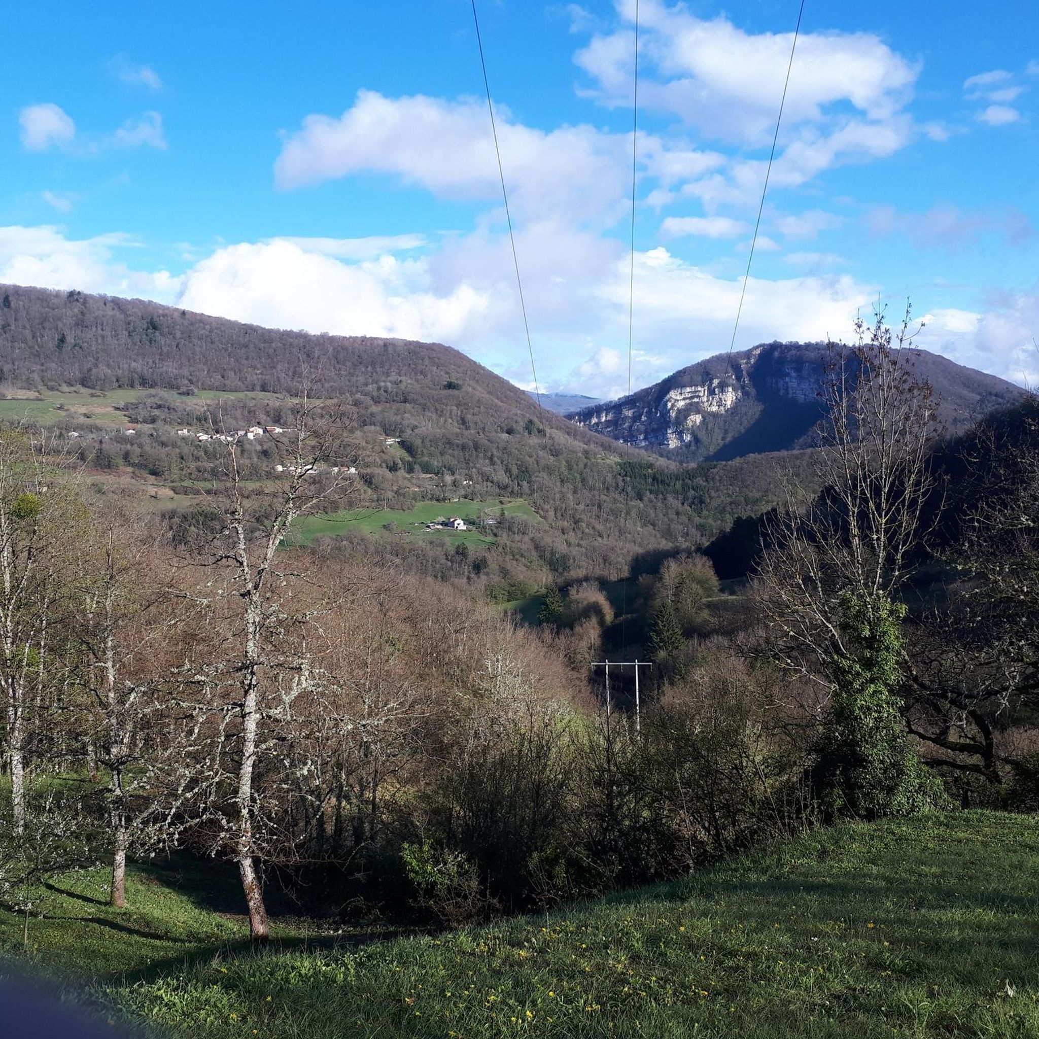
Spectacular! One of the most beautiful views in the region. Incredible sunset.
0
0

beautiful village and superb abbey
1
0
Magnificent pass with a beautiful view a little higher up on Oncieu.
1
0
Frequently Asked Questions
How many road cycling routes are available in Argis?
There are over 45 road cycling routes around Argis, offering a diverse range of options for different skill levels. These routes are highly rated by the komoot community, with an average score of 4.6 stars.
Are there easy road cycling routes in Argis suitable for beginners?
Yes, Argis offers several routes suitable for beginners. There are 6 easy road cycling routes available, typically featuring less elevation gain and shorter distances, perfect for those new to road cycling or looking for a relaxed ride.
What are some options for long-distance road cycling in Argis?
For those seeking longer distances, Argis has several challenging routes. One notable option is the Champdor Castle – Étang des Alliettes loop from Hauteville-Lompnes, which spans 63.9 miles (102.8 km) and includes significant elevation gain, often taking around 4 hours 47 minutes to complete.
What is the typical duration for road cycling routes in Argis?
Route durations in Argis vary widely depending on the distance and elevation. Moderate routes, like the Col du Cruchon (903 m) – Corlier loop from Hauteville-Lompnes (37.0 miles), typically take around 2 hours 42 minutes. Longer, more difficult routes can extend to 4-5 hours or more.
Where can I find challenging road cycling routes in Argis?
Argis is known for its challenging ascents to cols and varied terrain. There are 12 difficult road cycling routes available. For a demanding ride, consider the Lake Nantua – Col de Bérentin loop from Aranc, which covers nearly 79 km and features over 1,100 meters of elevation gain.
What can I see along the road cycling routes in Argis?
Many routes in Argis pass by natural features and historical sites. You might encounter picturesque lakes like Lac Bleu on the Gardon, or historical landmarks such as Allymes Castle and Château Saint-Germain. The region also offers panoramic views from various cols.
Are there circular road cycling routes in Argis?
Yes, many of the road cycling routes in Argis are designed as loops, allowing you to start and finish at the same point. Examples include the popular War Memorial in Aranc – Col du Cruchon (903 m) loop from Aranc, a moderate 20.9-mile ride, and the longer Col de la Cheminée – Col du Cruchon (903 m) loop from Aranc.
What is the best time of year for road cycling in Argis?
The best time for road cycling in Argis is typically from late spring through early autumn (May to October). During these months, the weather is generally milder, and mountain passes are clear of snow, providing optimal conditions for enjoying the region's varied terrain and scenic views.
Are there road cycling routes in Argis that include cafe stops or places to refuel?
While specific cafe stops are not always marked on every route, many road cycling routes in Argis pass through or near small villages and towns where you can find bakeries, cafes, or small shops to refuel and take a break. Planning your route with a map can help identify these potential stops.
What do other road cyclists enjoy the most about road cycling in Argis?
The road cycling experience in Argis is highly rated by the komoot community, with an average score of 4.6 stars from over 80 reviews. Reviewers often praise the challenging ascents to cols, the diverse landscape featuring forested sections and lakes, and the panoramic views encountered along the routes.
Are there any less crowded road cycling routes in Argis?
While some popular routes can see more traffic, Argis offers a wide network of roads, and many routes, especially those venturing further into the valleys or less-known cols, can provide a quieter cycling experience. Exploring some of the less-trafficked local roads can lead to serene rides.
Most popular attractions around Argis

Get inspired with the komoot mobile app


Explore more
Browse the best Road cycling routes in other regions.
