The best running trails around Brantes
4.4
(73)
5,010
runners
16
runs
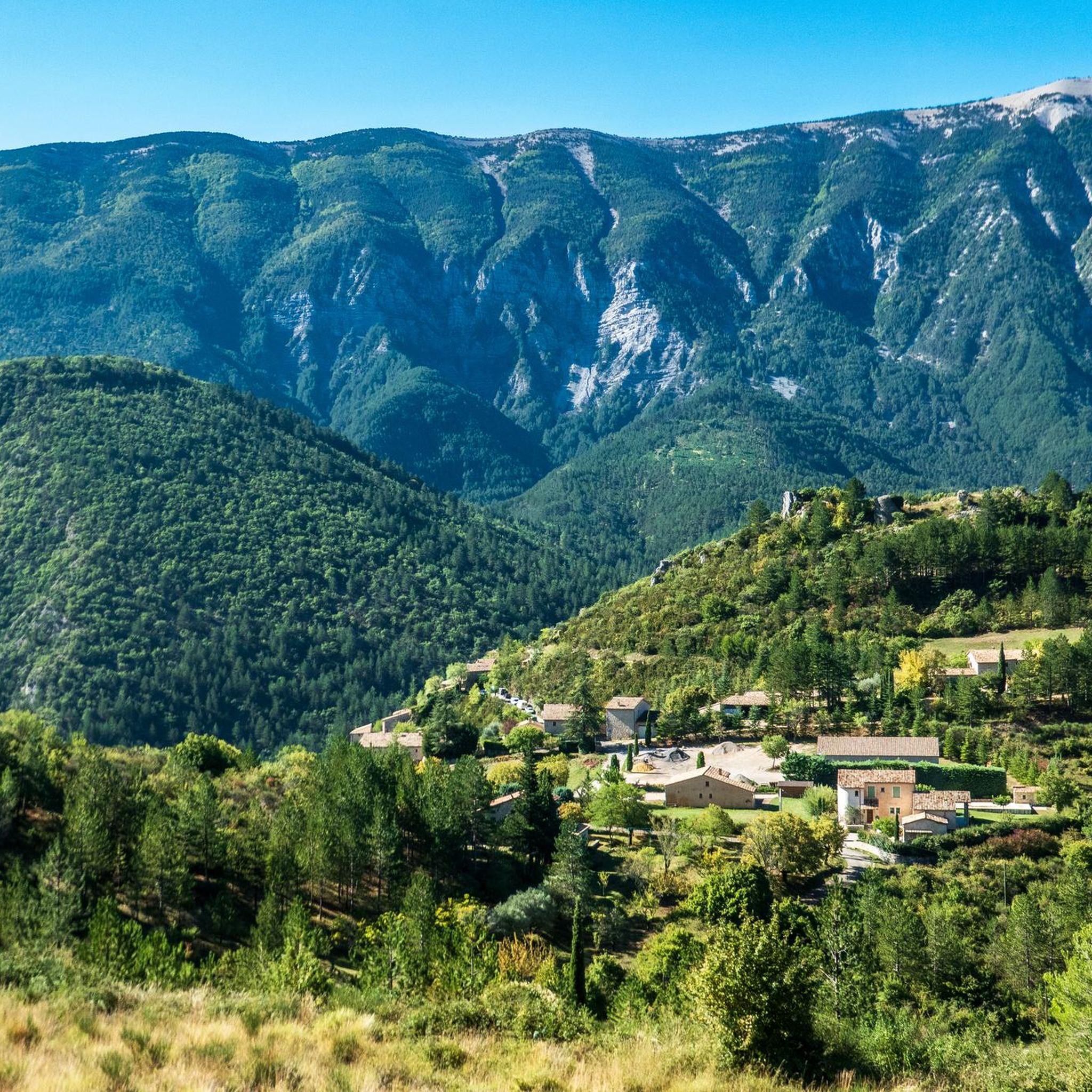
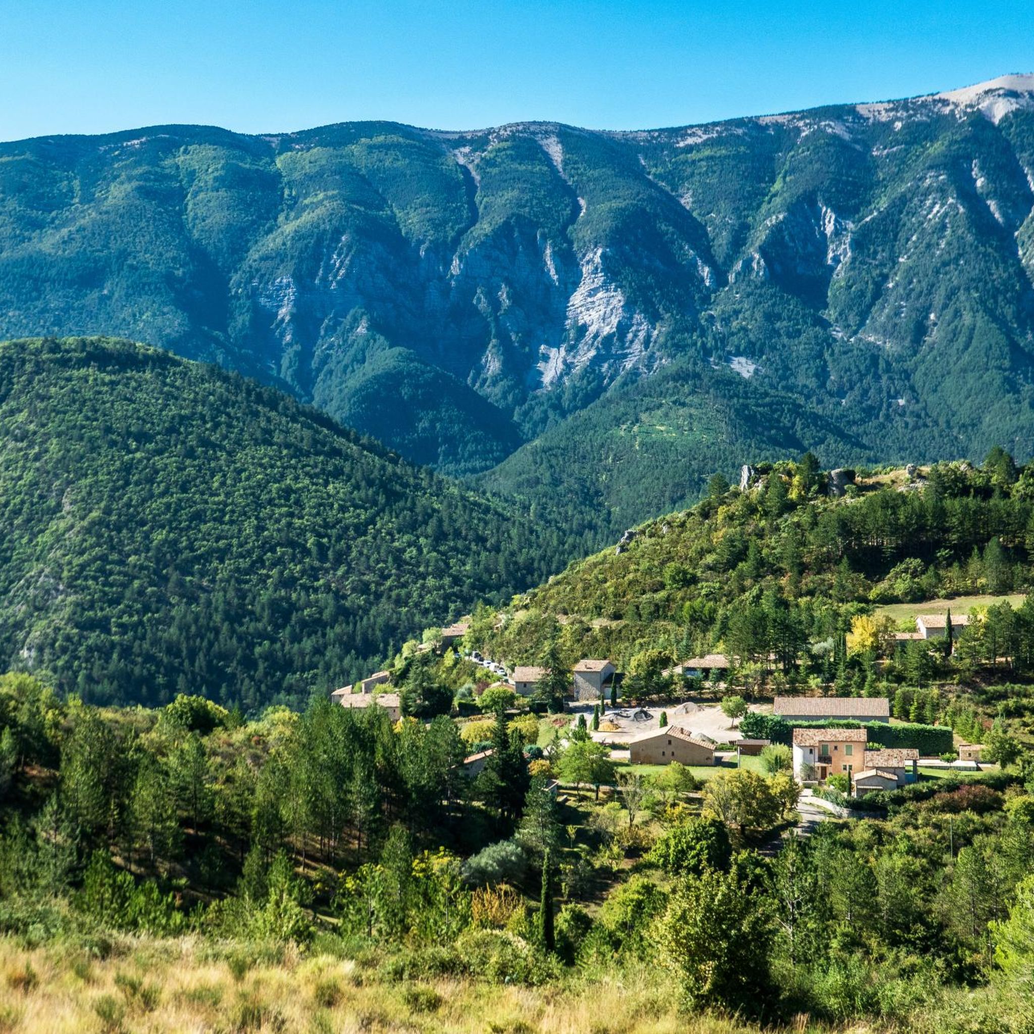
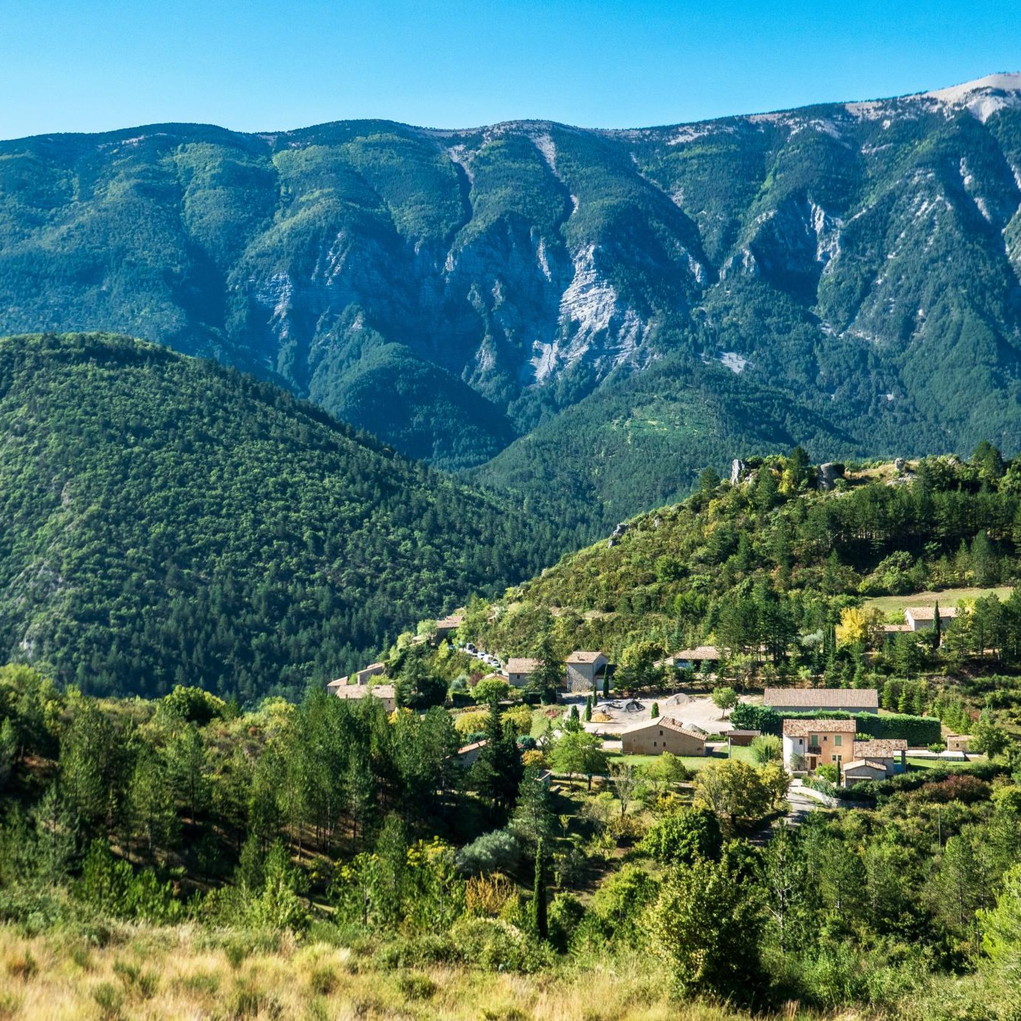
Jogging routes around Brantes traverse a varied terrain characterized by the imposing presence of Mont Ventoux, dramatic gorges, and distinctive jagged peaks. The region features significant elevation changes, with trails leading through natural sites such as the Gorges de la Nesque and the Dentelles de Montmirail. Runners can expect a landscape that includes ascending roads, challenging trails, and areas with unique geological formations like ochre cliffs. This environment provides a range of running experiences, from demanding mountain ascents to scenic…
Last updated: June 29, 2026
72
runners
30.3km
04:19
1,480m
1,480m
Hard run. Very good fitness required. Mostly paved surfaces. Suitable for all skill levels.
56
runners
27.8km
04:20
1,560m
1,560m
Hard run. Very good fitness required. Mostly accessible paths. Some sure footedness required.

Sign up for free
5.0
(1)
41
runners
22.5km
03:10
1,020m
1,020m
Hard run. Very good fitness required. Mostly paved surfaces. Suitable for all skill levels.
20
runners
12.9km
01:45
530m
530m
Hard run. Very good fitness required. Sure-footedness, sturdy shoes and alpine experience required.
11
runners
13.6km
01:45
420m
420m
Hard run. Very good fitness required. Mostly paved surfaces. Suitable for all skill levels.
Get access to more routes and recommendations from other explorers.
Sign up for free
Already have an account?
Our route recommendations are based on thousands of hikes, rides, and runs completed by other people on komoot.
Start today with a free account
Your next adventure awaits.
Login or Signup

Tips from the Community

A climb to Ventoux from Mont Serein... Ideal in the heat
0
0


I recommend a little crepe stop in this sumptuous village.
0
0

Great little place with a decent climb
0
0

Beautiful trails, I recommend it, but you need to be in good physical condition 😆🤪💪💪
0
0

Very welcome after the first climb, unfortunately only open during the season.
0
0

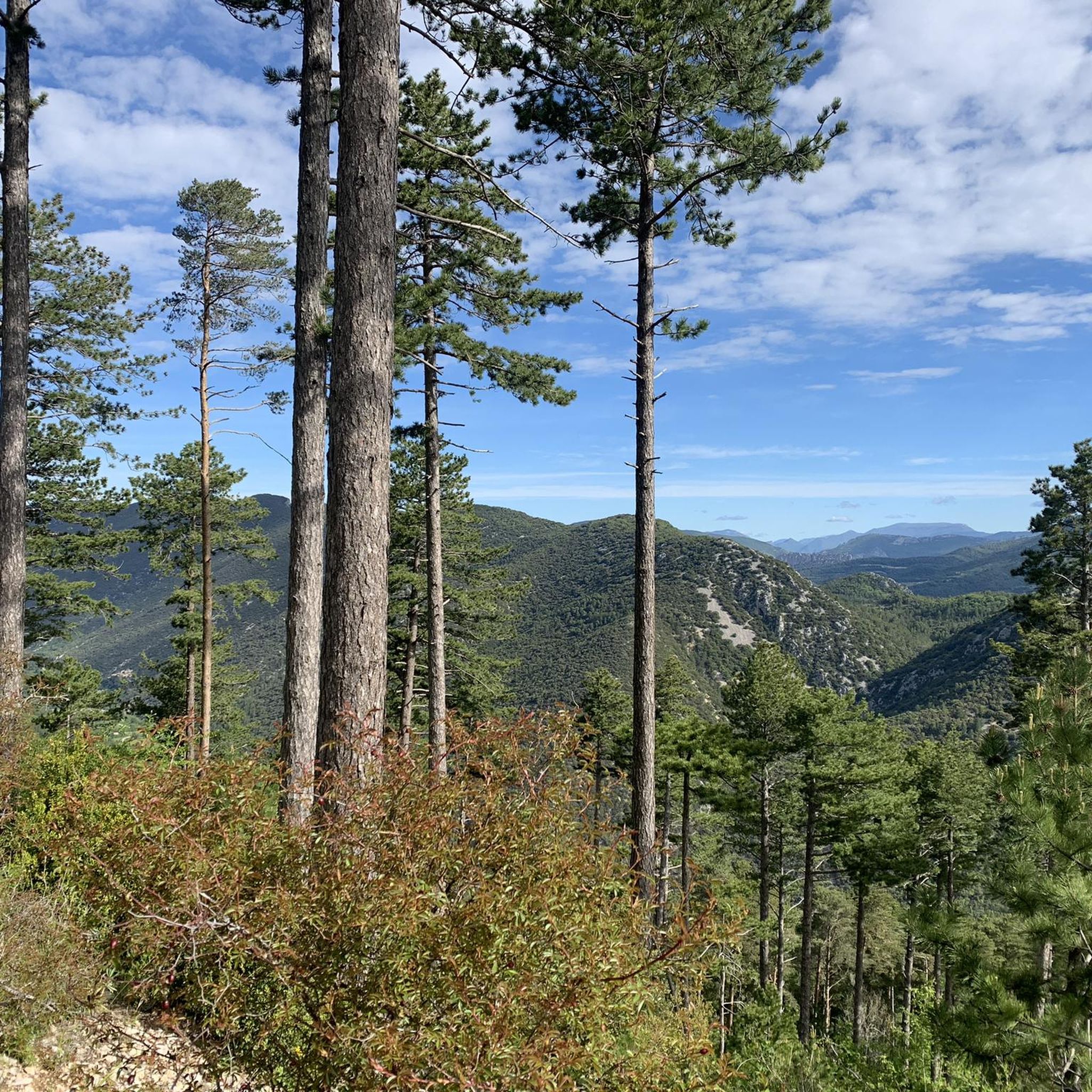
From the Mont Serein lookout point, you'll have a breathtaking view of Mont Ventoux, one of Provence's most iconic peaks, which stands majestically. The trail to Mont Serein passes through pine forests and alpine meadows, where you might spot local wildlife, such as deer or eagles.
1
0

Small Chapel with a panoramic view to the magnificent cross
1
0
Frequently Asked Questions
How many running routes are available around Brantes?
There are over 10 dedicated running routes around Brantes, offering a variety of experiences for different fitness levels. The komoot community has explored these trails over 5000 times, highlighting their popularity.
What kind of terrain can I expect on jogging trails near Brantes?
Jogging routes around Brantes feature a diverse terrain, from ascending roads and challenging trails on Mont Ventoux to scenic paths through the Provençal countryside. You'll encounter significant elevation changes and unique geological formations, including the dramatic Gorges de la Nesque and the distinctive Dentelles de Montmirail.
Are there any easy or beginner-friendly jogging paths in Brantes?
While many routes around Brantes feature significant climbs, there are a few options considered moderate in difficulty. The majority of the routes are rated as difficult, often involving substantial elevation gain, making them more suitable for experienced runners. There are 3 moderate routes available.
What are some notable landmarks or viewpoints I can see while running near Brantes?
Many running routes offer breathtaking views and pass by significant landmarks. You can experience the panoramic vistas from the Mont Ventoux summit, or pass by the Pass of Storms. Some trails also lead near the Stele dedicated to Tom Simpson, a poignant cycling monument.
Are there any circular running routes available from Brantes?
Yes, several routes around Brantes are circular, allowing you to start and finish in the same location. An example is the challenging Brantes Village – Brantes loop from Brantes, which covers 15.4 kilometers with over 590 meters of elevation gain.
What do other runners say about the jogging routes in Brantes?
The running routes in Brantes are highly rated by the komoot community, holding an average score of 4.3 stars from more than 60 reviews. Runners often praise the challenging ascents, the stunning panoramic views from Mont Ventoux, and the immersive experience in the diverse Provençal landscape.
Can I find routes that explore the Gorges de la Nesque or Dentelles de Montmirail?
While specific routes directly within the Gorges de la Nesque or Dentelles de Montmirail are not detailed in this guide, the region's overall landscape is heavily influenced by these natural features. You can find routes that offer views of these dramatic sites, such as those leading towards Mont Ventoux, which is in close proximity to both.
What is the best time of year for jogging in Brantes?
Brantes, located in Provence, offers beautiful scenery, especially during spring and early summer when the famous lavender fields are in bloom. However, given the significant elevation changes and challenging nature of many routes, cooler months like spring and autumn might be more comfortable for strenuous runs, avoiding the peak summer heat.
Are there any routes that offer views of the unique geological features like the Colorado Provencal?
While the Colorado Provencal is about 32 kilometers away, the region around Brantes shares similar geological characteristics. Routes in the area, particularly those with significant elevation, will offer views of varied landscapes and unique rock formations, providing a taste of Provence's distinctive natural beauty.
What is a challenging running route for experienced runners in Brantes?
For experienced runners seeking a significant challenge, the Mont Ventoux – Mont Ventoux loop from Mont Ventoux is an excellent choice. This difficult 24.9-kilometer route involves over 1200 meters of elevation gain, offering a demanding ascent and rewarding views from the iconic 'Giant of Provence'.
Are there any specific gorges or canyons I can explore near Brantes?
Yes, the area around Brantes is rich in dramatic gorges. You can explore highlights such as the Combe de Curnier, the Entrance to the Toulourenc Gorges, or the Ubrieux Gorge. These offer stunning natural beauty, though specific running routes directly through them may vary in accessibility.
What is the longest running route available from Brantes?
One of the longest and most challenging running routes is the Mont Ventoux – Mont Ventoux loop from Brantes. This difficult trail spans 29.9 kilometers and features an impressive 1480 meters of elevation gain, typically taking over 4 hours to complete.
Most popular routes around Brantes
Most popular attractions around Brantes

Get inspired with the komoot mobile app


Explore more
Browse the best Running Trails & Routes in other regions.
