The best road cycling routes around Brantes
4.6
(1878)
71,874
riders
86
rides
Road cycling around Brantes is characterized by its diverse terrain, ranging from challenging mountain ascents to scenic routes through valleys and gorges. The region is dominated by the formidable Mont Ventoux, a limestone peak that offers significant elevation gain and varied gradients. Cyclists can navigate through numerous "cols" (mountain passes) and explore areas like the Gorges de la Nesque and the distinctive Dentelles de Montmirail. This landscape provides a network of routes suitable for different skill levels, from demanding climbs…
Last updated: July 1, 2026
4.9
(149)
7,648
riders
41.5km
02:59
1,550m
1,540m
Hard road ride. Very good fitness required. Mostly well-paved surfaces and easy to ride.
4.8
(245)
7,238
riders
Hard road ride. Very good fitness required. Mostly well-paved surfaces and easy to ride.

Sign up for free
4.9
(80)
1,900
riders
54.3km
02:41
820m
820m
Moderate road ride. Good fitness required. Mostly well-paved surfaces and easy to ride.
4.6
(5)
200
riders
40.4km
01:55
540m
540m
Moderate road ride. Good fitness required. Mostly well-paved surfaces and easy to ride.
5.0
(2)
168
riders
Moderate road ride. Good fitness required. Mostly well-paved surfaces and easy to ride.
Get access to more routes and recommendations from other explorers.
Sign up for free
Already have an account?
Our route recommendations are based on thousands of hikes, rides, and runs completed by other people on komoot.
Start today with a free account
Your next adventure awaits.
Login or Signup

Tips from the Community

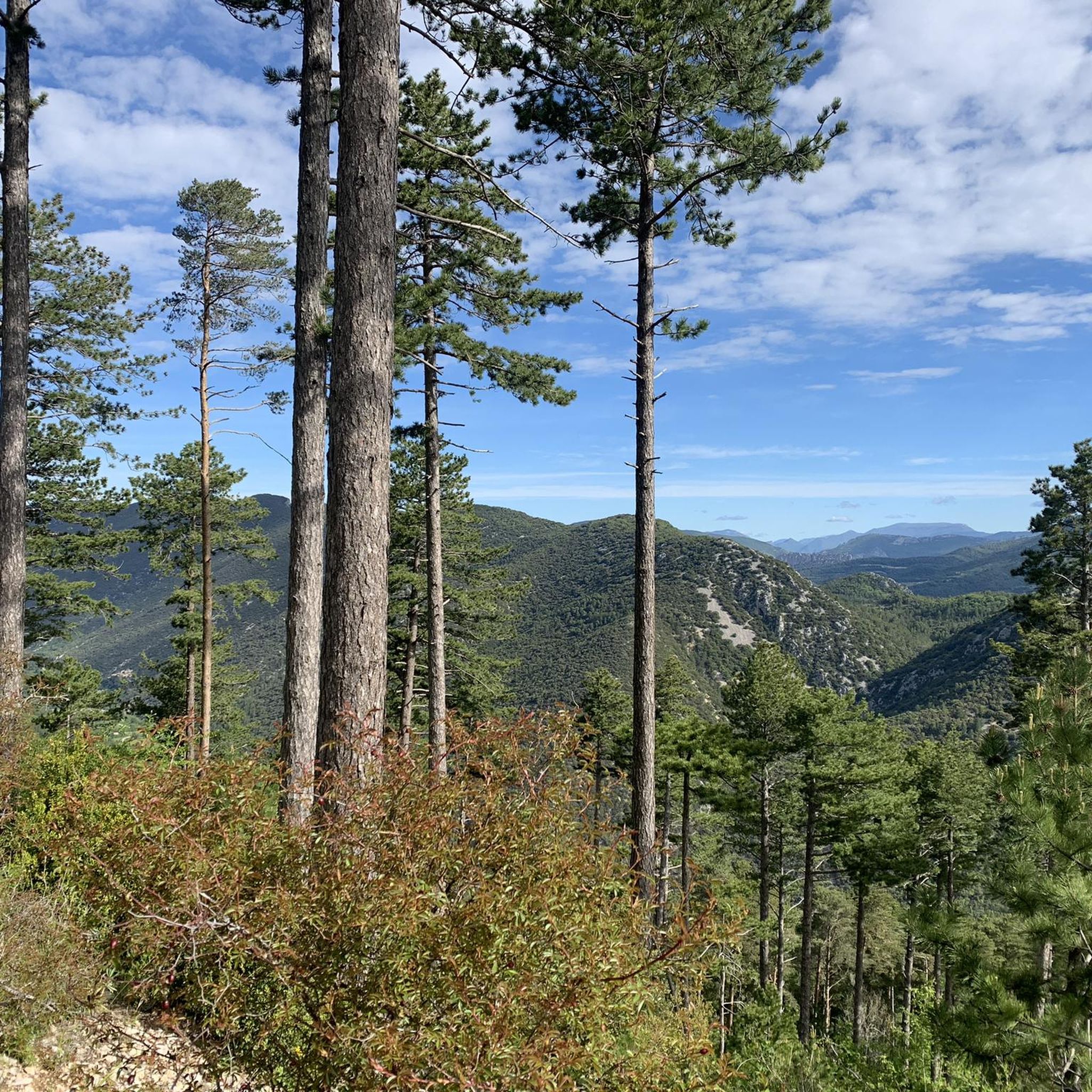
Very green regional park.
4
0
About halfway up the climb, you'll find this work of art.
9
0
Finish line , if you see it, you've made it.
5
0
The last hairpin bend and then you are at the top.
5
0
Wonderful road, the asphalt is in excellent condition
9
0
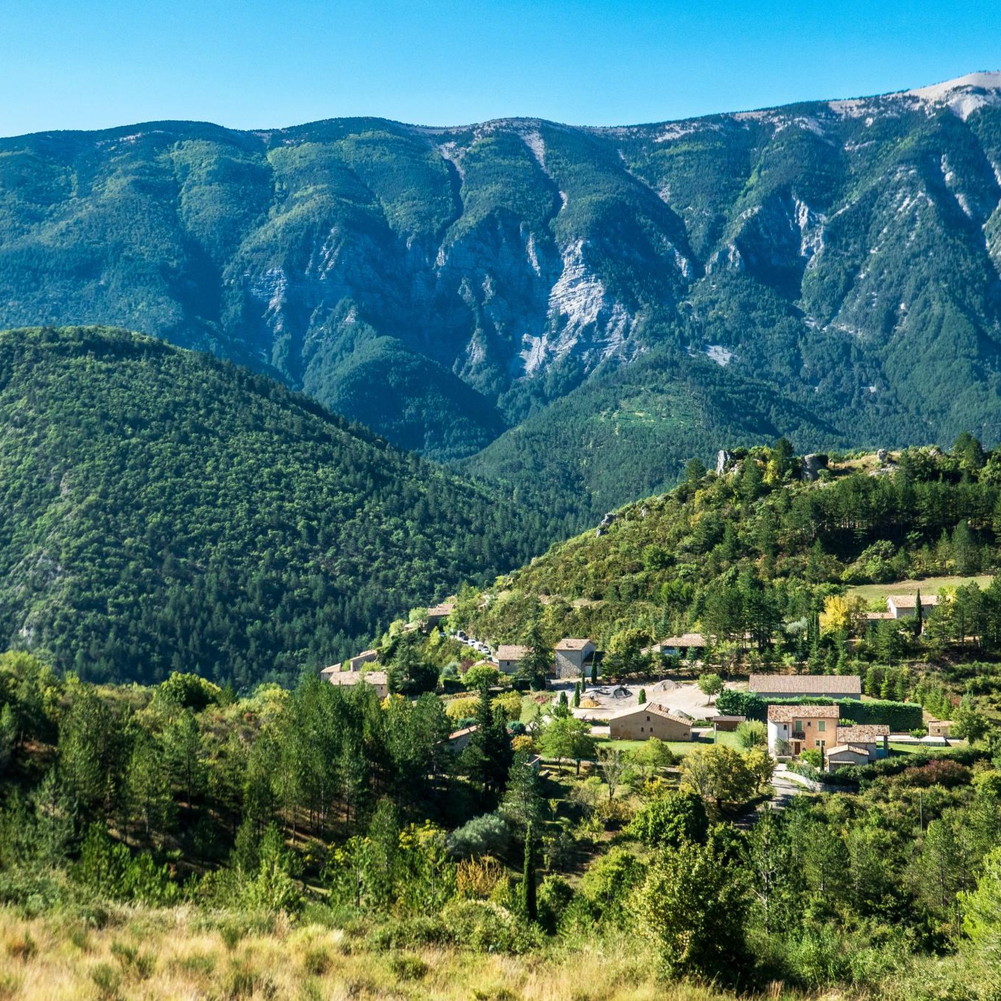
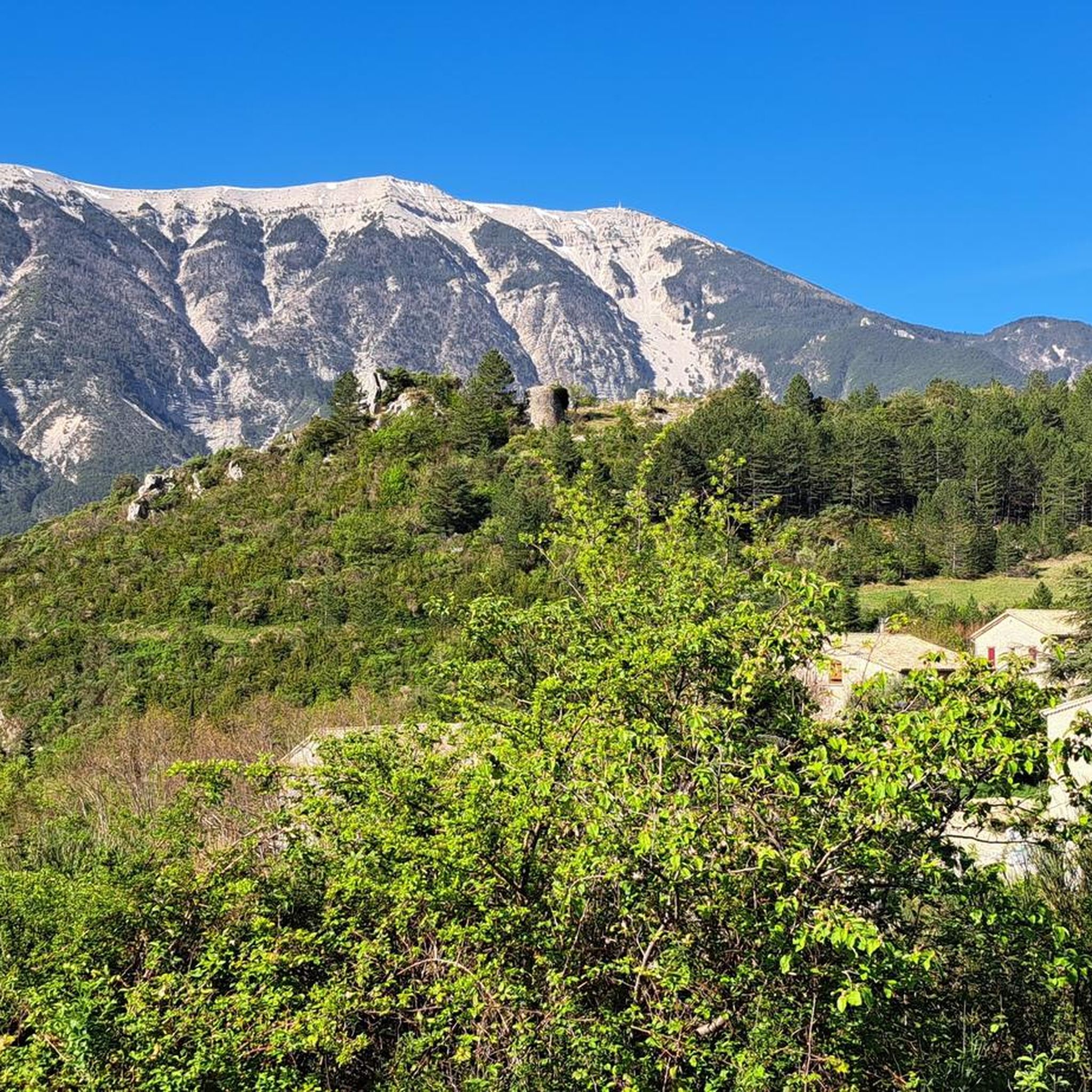
From here you can see the summit of Ventoux.
5
0

This is one of my favorites
0
0

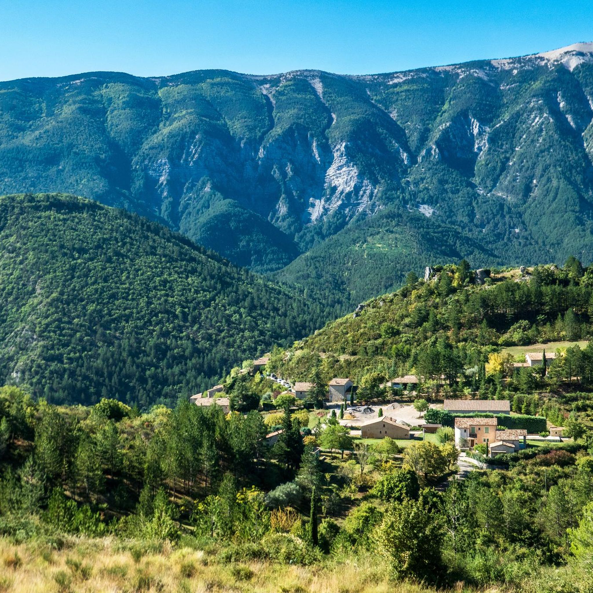
Very beautiful, old place with a great distant view, including the Ventoux.
0
0
Frequently Asked Questions
What kind of terrain can I expect when road cycling around Brantes?
Road cycling around Brantes offers a diverse range of terrain. You'll find challenging mountain ascents, notably the iconic Mont Ventoux, alongside scenic routes through valleys and gorges like the Gorges de la Nesque. The region features numerous 'cols' (mountain passes) and areas like the distinctive Dentelles de Montmirail, providing varied gradients and landscapes suitable for different skill levels.
Are there routes suitable for beginners or less experienced road cyclists in Brantes?
Yes, while the region is famous for challenging climbs, there are routes suitable for less experienced riders. Out of 90 total road cycling routes, 11 are rated as easy. For example, the ascent of Mont Ventoux from Sault is longer but more gradual, making it more accessible. You can find options that offer more gradual paths through scenic areas.
What are some notable landmarks or natural features I can see while cycling in Brantes?
The region is rich in natural beauty and landmarks. The most prominent is the Mont Ventoux summit, with its unique bald, limestone peak. You can also explore dramatic landscapes like the Combe de Curnier and the Entrance to the Toulourenc Gorges. Other notable features include various mountain passes such as Fontaube Pass and Col d'Aulan, which offer magnificent views.
What is the best time of year for road cycling in Brantes?
The broader Provence region, including Brantes, is generally excellent for cycling from spring through autumn. The lavender fields bloom in summer, adding vibrant color and fragrance. However, Mont Ventoux's summit can have snow cover from December to April, and strong winds are common near the top. For comfortable cycling, late spring and early autumn often provide ideal weather conditions.
Are there any family-friendly road cycling routes around Brantes?
While many routes in Brantes involve significant climbs, there are 11 routes rated as easy, which could be more suitable for families or those looking for a less strenuous ride. These routes often traverse flatter sections of valleys or offer more gradual ascents, allowing for a pleasant experience for all skill levels.
Where can I find parking for road cycling trails in Brantes?
Brantes and its surrounding villages, such as Sault and Bédoin, serve as popular starting points for cycling routes. These villages typically offer public parking facilities. It's advisable to check local signage upon arrival for designated parking areas for visitors and cyclists.
What do other road cyclists say about their experience in Brantes?
The road cycling experience in Brantes is highly regarded by the komoot community, with an impressive average rating of 4.6 stars from over 1,900 reviews. Cyclists often praise the challenging climbs, particularly Mont Ventoux, the stunning panoramic views, and the diverse terrain that caters to various abilities.
Are there any circular road cycling routes available from Brantes?
Yes, many of the routes around Brantes are designed as loops, allowing you to start and finish in the same location. For example, the View of the Mont Ventoux summit – Pass of Storms loop from Brantes is a popular circular route that takes you towards the summit and back. Another option is the Gorges d'Aulan – Col d'Aulan loop from Brantes, offering a different scenic experience.
Can I find cafes or restaurants along the cycling routes in Brantes?
Brantes itself is a charming village, and nearby towns like Sault, Bédoin, and Malaucène, which are common starting points or stops for cyclists, offer a selection of cafes, restaurants, and guesthouses. These establishments provide opportunities for refreshments and meals during or after your ride.
What is the difficulty level of the Mont Ventoux ascents from the Brantes area?
Mont Ventoux is renowned for its challenging ascents. The route from Bédoin is considered the most demanding, with an average gradient of 7.5% over 21.5 km. The Malaucène route is also very difficult. While the Sault ascent is longer, it's more gradual, making it a comparatively more accessible option for reaching the summit. Routes like the View of the Mont Ventoux summit – Chalet Reynard loop from Fontaine de la Grave are rated as difficult, indicating the significant elevation gain and gradients involved.
Are there any specific permits required for cycling in the Brantes region?
Generally, no specific permits are required for road cycling on public roads and designated routes in the Brantes region. However, it's always good practice to respect local regulations, especially within protected areas like the Mont Ventoux UNESCO Biosphere Reserve, and to stay on marked paths.
How many road cycling routes are there in total around Brantes?
There are over 90 road cycling routes available around Brantes, offering a wide variety of distances, elevation gains, and difficulty levels to explore.
Most popular routes around Brantes
Most popular attractions around Brantes

Get inspired with the komoot mobile app


Explore more
Browse the best Road cycling routes in other regions.
