The best running trails around Rignieux-Le-Franc
4.3
(14)
416
runners
23
runs
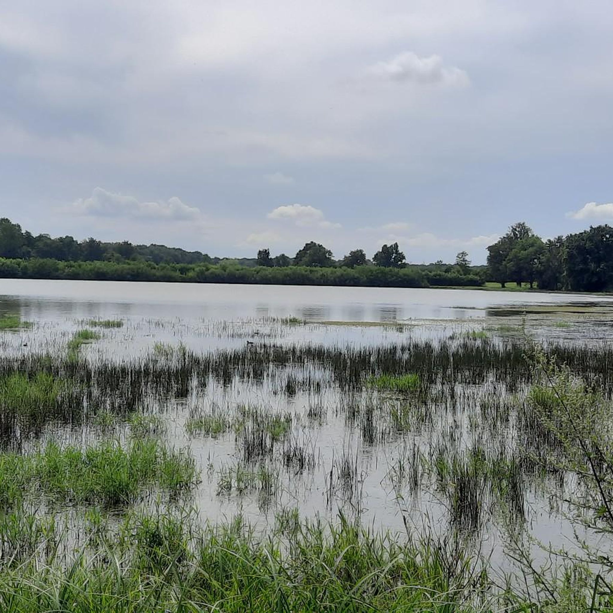
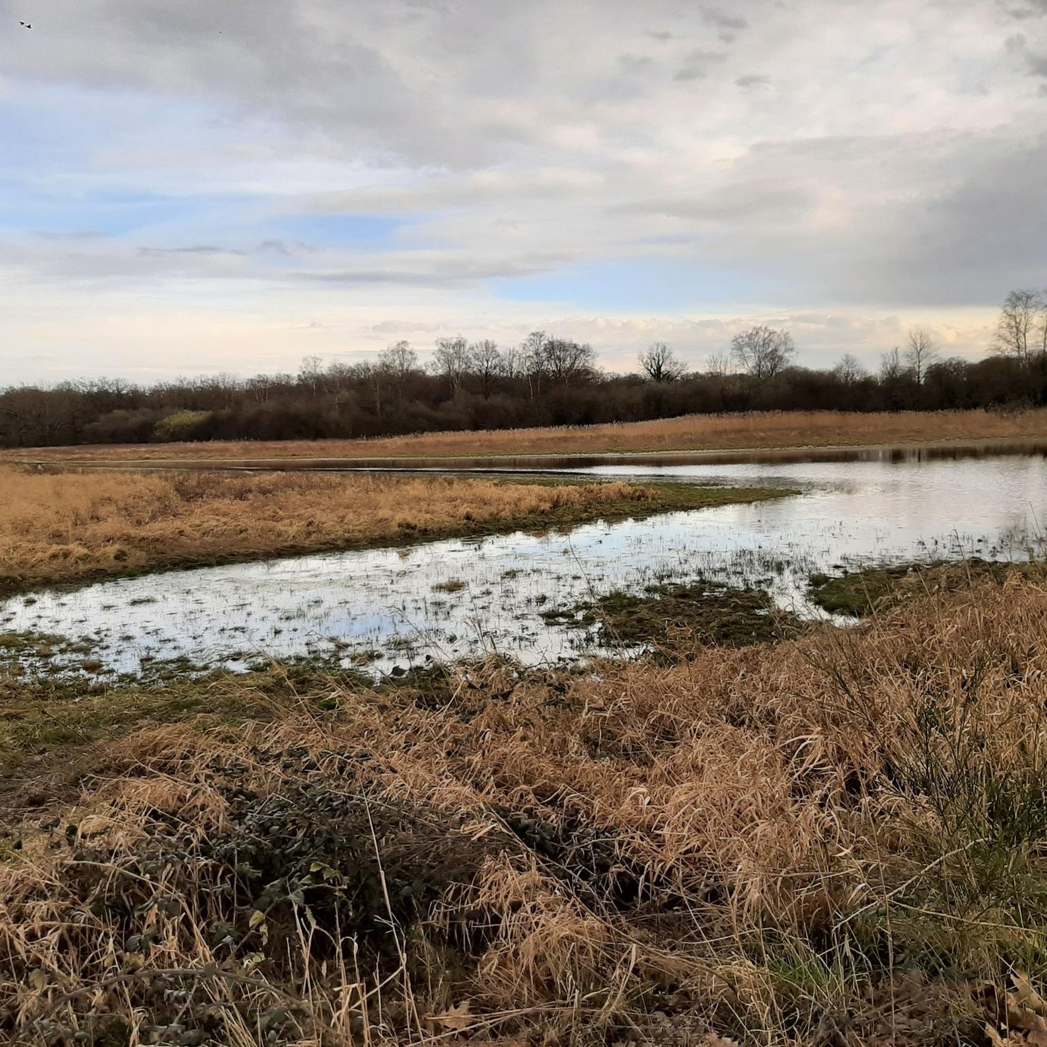
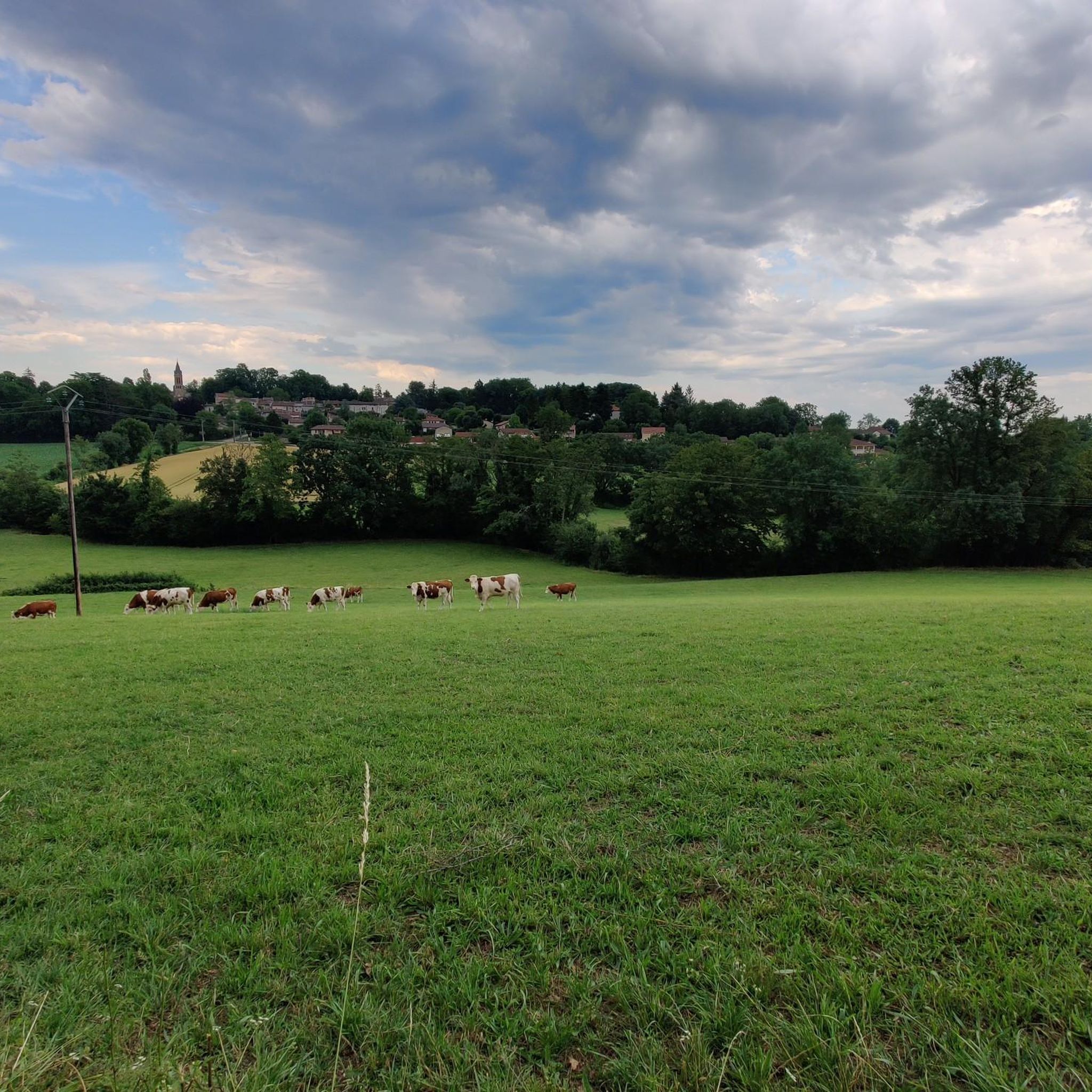
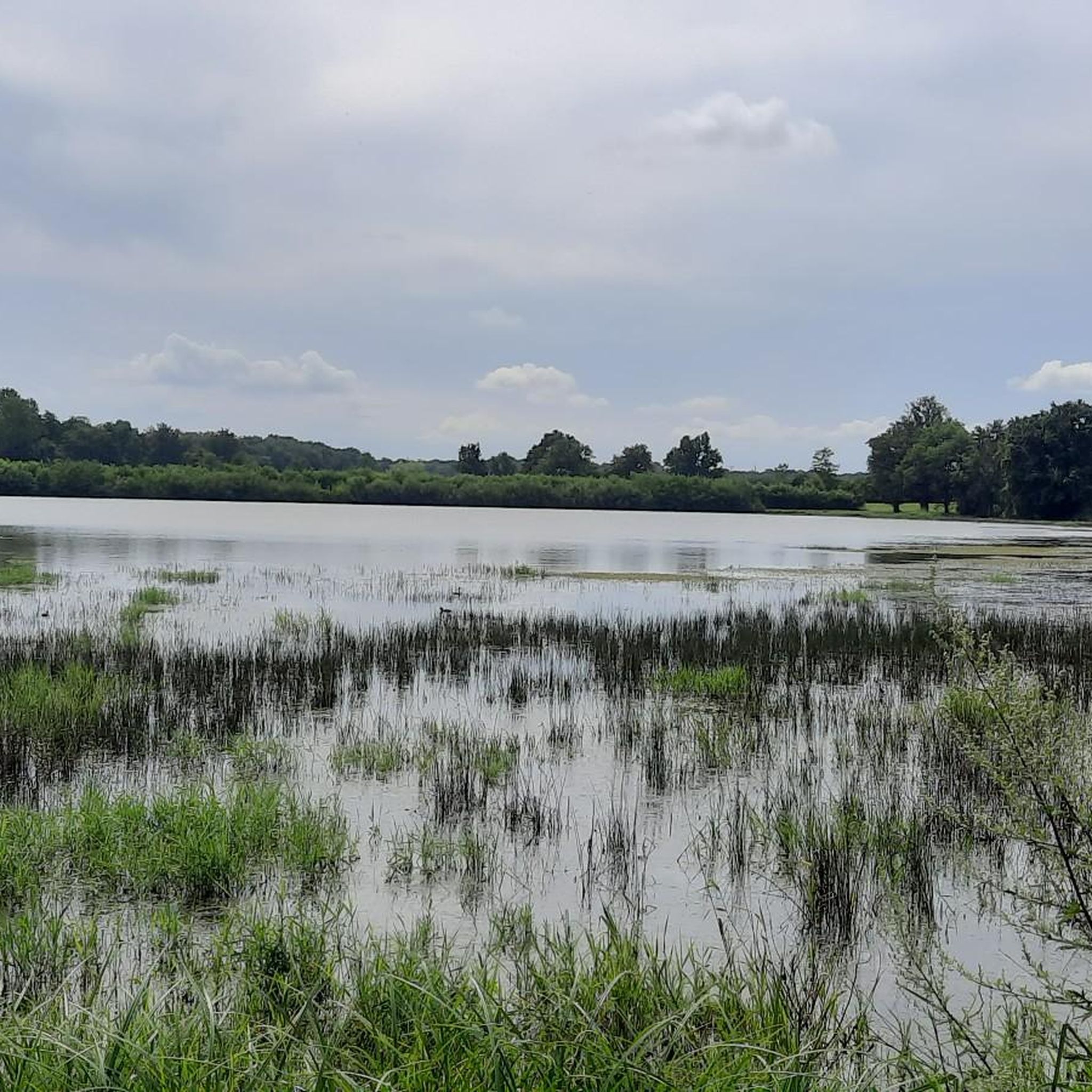
Jogging routes around Rignieux-Le-Franc offer a blend of accessible paths and natural features within the Ain department of France. The region is characterized by "cheminements doux" or soft paths, specifically designed for pedestrians, connecting various hamlets and extending towards neighboring towns. Natural elements include the Toison river, an artificial pond (plan d'eau), and diverse routes through forest roads and pine forests. Runners can also find paths alongside ponds and enjoy views that extend towards the Alps.
Best jogging routes around…
Last updated: July 1, 2026
32
runners
9.64km
01:03
110m
110m
Moderate run. Good fitness required. Mostly paved surfaces. Suitable for all skill levels.
18
runners
10.1km
01:04
100m
100m
Moderate run. Good fitness required. Mostly paved surfaces. Suitable for all skill levels.

Sign up for free
6
runners
8.01km
00:52
90m
90m
Moderate run. Good fitness required. Mostly paved surfaces. Suitable for all skill levels.
4
runners
8.48km
00:53
90m
90m
Moderate run. Good fitness required. Mostly paved surfaces. Suitable for all skill levels.
8
runners
13.8km
01:32
130m
130m
Moderate run. Good fitness required. Mostly paved surfaces. Suitable for all skill levels.
Get access to more routes and recommendations from other explorers.
Sign up for free
Already have an account?
Our route recommendations are based on thousands of hikes, rides, and runs completed by other people on komoot.
Start today with a free account
Your next adventure awaits.
Login or Signup

Frequently Asked Questions
What kind of terrain can I expect on the running trails in Rignieux-Le-Franc?
The running routes in Rignieux-Le-Franc are characterized by "cheminements doux" or soft paths, specifically designed for pedestrians. You'll find a mix of paths connecting various hamlets, routes through forest roads, trails winding through pine forests, and paths alongside ponds. Some routes, like the Étang Vivier loop, feature gentle changes in elevation.
Are there running routes suitable for all fitness levels in Rignieux-Le-Franc?
Yes, Rignieux-Le-Franc offers a variety of running routes catering to different fitness levels. There are 4 easy routes, 17 moderate routes, and 2 difficult routes available, ensuring options for beginners to more experienced runners.
Are the jogging routes in Rignieux-Le-Franc suitable for families?
Many of the soft paths and routes around ponds are suitable for families, offering a pleasant and safe environment for a run. The region's focus on pedestrian-friendly paths makes it a good choice for family outings.
Can I bring my dog on the running trails in Rignieux-Le-Franc?
While the region offers many natural paths, specific rules regarding dogs on trails can vary. It's generally advisable to keep dogs on a leash, especially in areas with wildlife or near agricultural land. Always check local signage for any specific restrictions.
Are there many circular running routes available?
Yes, several popular running routes in Rignieux-Le-Franc are circular. Examples include the Étang Vivier loop, the Étang de Résilleux loop, and the Running loop from Sous les Vignes, providing convenient starting and ending points.
What natural features or landmarks can I see while jogging?
The area is rich in natural beauty. You can enjoy views towards the Alps, run alongside the Toison river, and explore routes around various ponds, including the local "plan d'eau." Nearby attractions also include several lakes like Aubépin Pond and Priay Lake. For historical interest, the Medieval town of Pérouges is just 4 km away.
When is the best time of year to go running in Rignieux-Le-Franc?
The Auvergne-Rhône-Alpes region generally offers pleasant conditions for outdoor activities during spring, summer, and early autumn. These seasons provide comfortable temperatures and lush scenery. Winter running is also possible, but be prepared for cooler weather and potentially muddy paths.
What do other runners say about the trails in Rignieux-Le-Franc?
The running routes in Rignieux-Le-Franc are highly rated by the komoot community, with an average score of 4.2 stars from over 10 reviews. Runners often praise the varied terrain, the scenic routes around ponds, and the well-maintained soft paths.
How many running routes are available in Rignieux-Le-Franc?
There are over 20 running routes available in Rignieux-Le-Franc, offering a wide selection for different preferences and fitness levels. In total, komoot lists 23 routes in the area.
Are there easy running routes for beginners?
Yes, Rignieux-Le-Franc has 4 easy running routes perfect for beginners or those looking for a relaxed run. An example is the Running loop from Sous les Vignes, which is 4.1 km long and takes about 26 minutes to complete.
What are some moderate-difficulty running routes in the area?
For moderate runs, you have several excellent options. The Étang Mérau loop from Rignieux-le-Franc is an 8 km route, and the Running loop from Rignieux-le-Franc covers 8.5 km, both offering engaging runs through the local landscape.
Is parking available near the running trails?
Given the rural nature of Rignieux-Le-Franc and its connection to various hamlets, parking is generally available in village centers or designated areas near popular trailheads, such as those around the Étang Vivier. It's advisable to check specific starting points for parking options.
Most popular routes around Rignieux-Le-Franc
Most popular attractions around Rignieux-Le-Franc

Get inspired with the komoot mobile app


Explore more
Browse the best Running Trails & Routes in other regions.
