The best running trails around Béligneux
3.9
(17)
604
runners
48
runs
Jogging around Béligneux offers access to varied landscapes within the Ain department of France. The region features a mix of forests, plains, and riverbanks along the Rhône, providing diverse scenery for running. Many running paths around Béligneux utilize mostly paved surfaces, making them suitable for various runners. The area also includes natural features like the Étang de la Combe and is part of a wider network of marked pedestrian circuits.
Best jogging routes around Béligneux
- The most popular jogging route…
Last updated: July 1, 2026
3.5
(2)
76
runners
11.7km
01:23
140m
140m
Moderate run. Good fitness required. Mostly paved surfaces. Suitable for all skill levels.
2.0
(1)
37
runners
9.09km
01:01
80m
80m
Moderate run. Good fitness required. Mostly paved surfaces. Suitable for all skill levels.

Sign up for free
8
runners
21.4km
02:28
270m
270m
Hard run. Very good fitness required. Mostly paved surfaces. Suitable for all skill levels.
2.5
(8)
8
runners
3.72km
00:25
0m
0m
Easy run. Great for any fitness level. Mostly paved surfaces. Suitable for all skill levels.
5.0
(1)
7
runners
7.64km
00:49
10m
10m
Moderate run. Good fitness required. Mostly paved surfaces. Suitable for all skill levels.
Get access to more routes and recommendations from other explorers.
Sign up for free
Already have an account?
Our route recommendations are based on thousands of hikes, rides, and runs completed by other people on komoot.
Start today with a free account
Your next adventure awaits.
Login or Signup
Tips from the Community

Very beautiful medieval city. The village of my childhood. Absolutely taste the pancakes! 😉🍰
0
0

The medieval city of Pérouges is a true jewel of the past. Located to the east of Lyon, it transports us to a distant era, where cobbled streets and houses made of pebbles and bricks tell stories of yesteryear. With its 80 inhabitants living within its walls and 1,200 residents in the commune, Pérouges is an inhabited village which freely welcomes visitors all year round.
0
0

Ranked among the most beautiful villages in France, Pérouges offers you a trip to the Middle Ages. The tourist activities between April and August will allow you to see the city from another angle. Between history and terroir, this city of character 30 kilometers from Lyon will not leave you insensitive with its medieval and authentic charm. Before leaving, don't forget to taste the local speciality: the Peruvian pancake, the unmissable sugar pie.
2
0

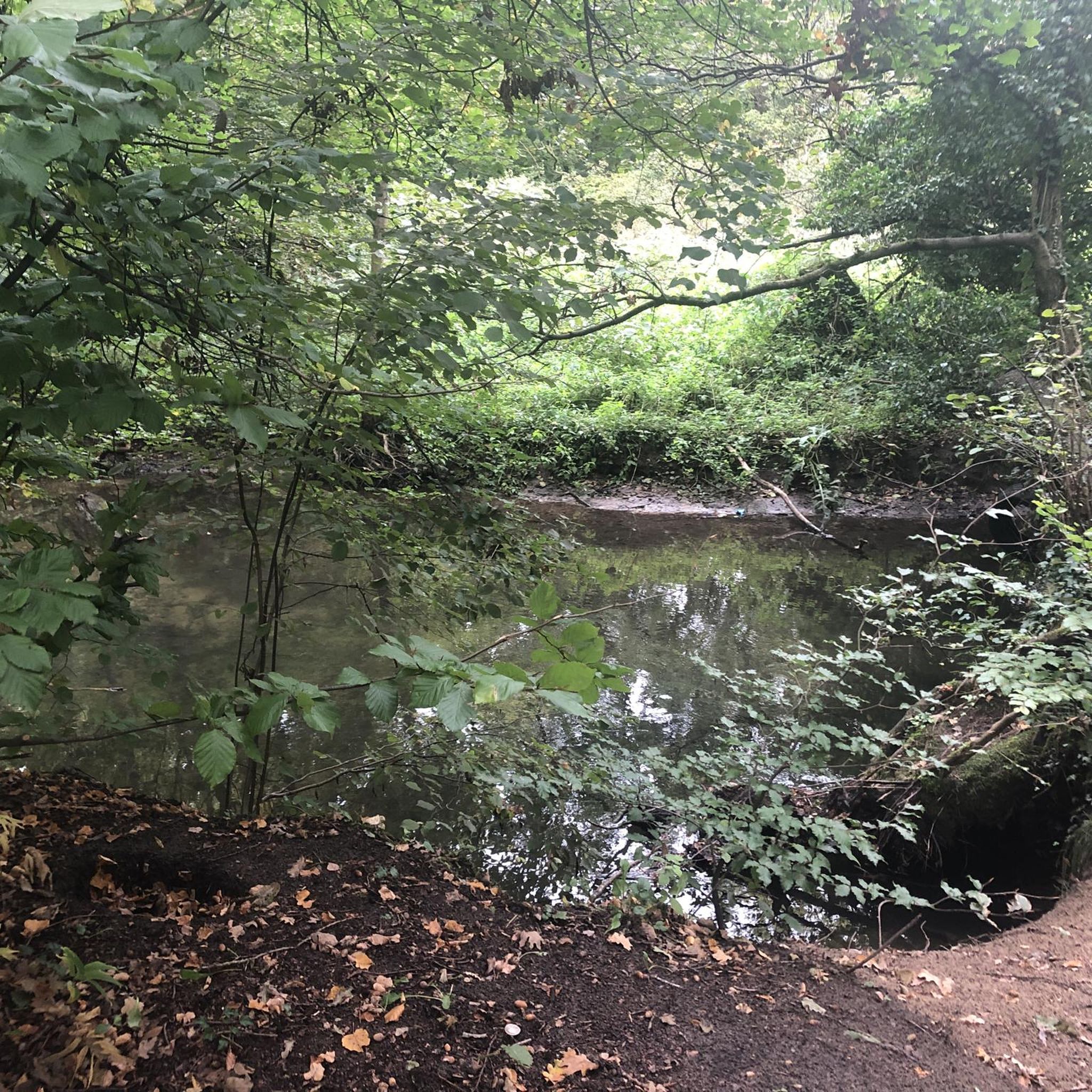
A few hundred meters from the village of Pérouges, let yourself descend to the hawthorn pond. It is a landscaped and well maintained place that is very pleasant and relaxing.
0
0
Aubepin Lake is a water reserve created artificially in 2005 by the municipality of Meximieux. This one-hectare body of water was built on an old canal which feeds the Moulin Favre, whose wheel you can see still in action at the end of the body of water. This green place will be ideal for a stroll and the signs that line its outline will allow you to learn a little more about the surrounding fauna and flora.
1
0
Ranked among the most beautiful villages in France, Pérouges offers you a trip to the Middle Ages. The tourist activities between April and August will allow you to see the city from another angle. Between history and terroir, this city of character 30 kilometers from Lyon will not leave you insensitive with its medieval and authentic charm. Do not forget before leaving to taste the local speciality: the Peruvian pancake, the unmissable sugar pie.
2
0

The village of Pérouges, a very well preserved medieval site. There are good restaurants and points of sale to buy the galette de Pérouges.
0
0
Frequently Asked Questions
How many running routes are available around Béligneux?
There are over 40 running routes around Béligneux listed on komoot, offering a wide variety of options for different fitness levels and preferences.
What kind of terrain can I expect on running trails near Béligneux?
The region around Béligneux, part of the Côtière de la Dombes, offers diverse terrain for running. You'll find a mix of forests, open plains, and paths along riverbanks, particularly near the Rhône. Many routes feature mostly paved surfaces, making them accessible for various runners, while others delve into more natural, unpaved sections.
Are there running routes suitable for beginners in Béligneux?
Yes, Béligneux offers several easy running routes perfect for beginners. For example, the Running loop from Chânes is a shorter, less demanding option to get started.
What do other runners say about the trails in Béligneux?
The running routes in Béligneux are highly rated by the komoot community, with an average score of 4.4 stars from over 14 reviews. More than 480 runners have used komoot to explore the area, often praising the varied terrain and accessible paths.
Are there any long-distance running challenges near Béligneux?
For those seeking a challenge, the region offers more demanding routes. A notable option is the Medieval town of Pérouges – Medieval town of Pérouges loop from Béligneux, a difficult 21.2 km (13.2 miles) path that requires excellent fitness and leads to the historic medieval town.
Can I find circular running routes in the Béligneux area?
Yes, many of the running paths around Béligneux are circular loops, providing convenient starting and ending points. The wider canton of Montluel, which includes Béligneux, boasts approximately 100 km of marked pedestrian circuits, many of which are suitable for running.
Are there any scenic landmarks or attractions I can see while running near Béligneux?
Absolutely! You can combine your run with sightseeing. The historic Medieval town of Pérouges is a significant attraction just a short distance away, offering a cultural backdrop to your run. You might also encounter the Sainte-Madeleine Church of Le Montellier or the Jonage Dam on certain routes.
Are there any running routes that start from Camp militaire de la Valbonne?
Yes, there are running routes that originate from the vicinity of Camp militaire de la Valbonne. A popular choice is the Running loop from Camp militaire de la Valbonne, a moderate 7.6 km (4.7 miles) trail.
Are the running trails around Béligneux generally well-maintained?
Many of the running paths around Béligneux utilize mostly paved surfaces, which are typically well-maintained. The region also benefits from an extensive network of marked pedestrian circuits, suggesting a focus on trail upkeep for outdoor enthusiasts.
What are some natural features to look out for on a run in Béligneux?
Beyond the diverse forests and plains, you might encounter natural features like the Étang de la Combe (Combe Pond) within Béligneux itself. The broader region also features lakes such as Aubepin Lake near Meximieux, offering pleasant scenery and opportunities to observe local flora and fauna.
Are there running routes with minimal elevation gain for an easier experience?
Yes, many routes in the area, particularly those on flatter plains or along riverbanks, feature minimal elevation gain. The Running loop from Chânes, for instance, has very little elevation change, making it ideal for an easy, flat run.
Can I find running routes that are a moderate length, around 10-12 km?
Certainly. A great option for a moderate run of that length is the Running loop from Béligneux, which is 11.7 km (7.3 miles) and offers a balanced challenge on mostly paved surfaces.
Most popular attractions around Béligneux

Get inspired with the komoot mobile app


Explore more
Browse the best Running Trails & Routes in other regions.
