The best walks and hikes around Saint-Didier
4.5
(23)
94
hikers
8
hikes
Hiking around Saint-Didier offers diverse landscapes characterized by rolling hills, vineyards, and the prominent Mont Ventoux. The region is situated amidst the Vaucluse and Luberon mountains, providing a varied terrain for outdoor activities. Hikers can explore paths leading through picturesque lavender fields and enjoy views of the craggy limestone peaks of the Dentelles de Montmirail. This area serves as a gateway to the Luberon Natural Park, featuring a mix of natural and cultural landmarks.
Best hiking trails around Saint-Didier
- The…
Last updated: May 9, 2026
4.8
(12)
37
hikers
Moderate hike. Good fitness required. Easily-accessible paths. Suitable for all skill levels.
5.0
(2)
12
hikers
7.58km
02:07
150m
150m
Moderate hike. Good fitness required. Easily-accessible paths. Suitable for all skill levels.

Sign up for free
4.8
(4)
9
hikers
Moderate hike. Good fitness required. Easily-accessible paths. Suitable for all skill levels.
4.0
(1)
8
hikers
Easy hike. Great for any fitness level. Easily-accessible paths. Suitable for all skill levels.
5.0
(2)
6
hikers
7.88km
02:07
100m
100m
Moderate hike. Good fitness required. Easily-accessible paths. Suitable for all skill levels.
Get access to more routes and recommendations from other explorers.
Sign up for free
Already have an account?
Our route recommendations are based on thousands of hikes, rides, and runs completed by other people on komoot.
Start today with a free account
Your next adventure awaits.
Login or Signup
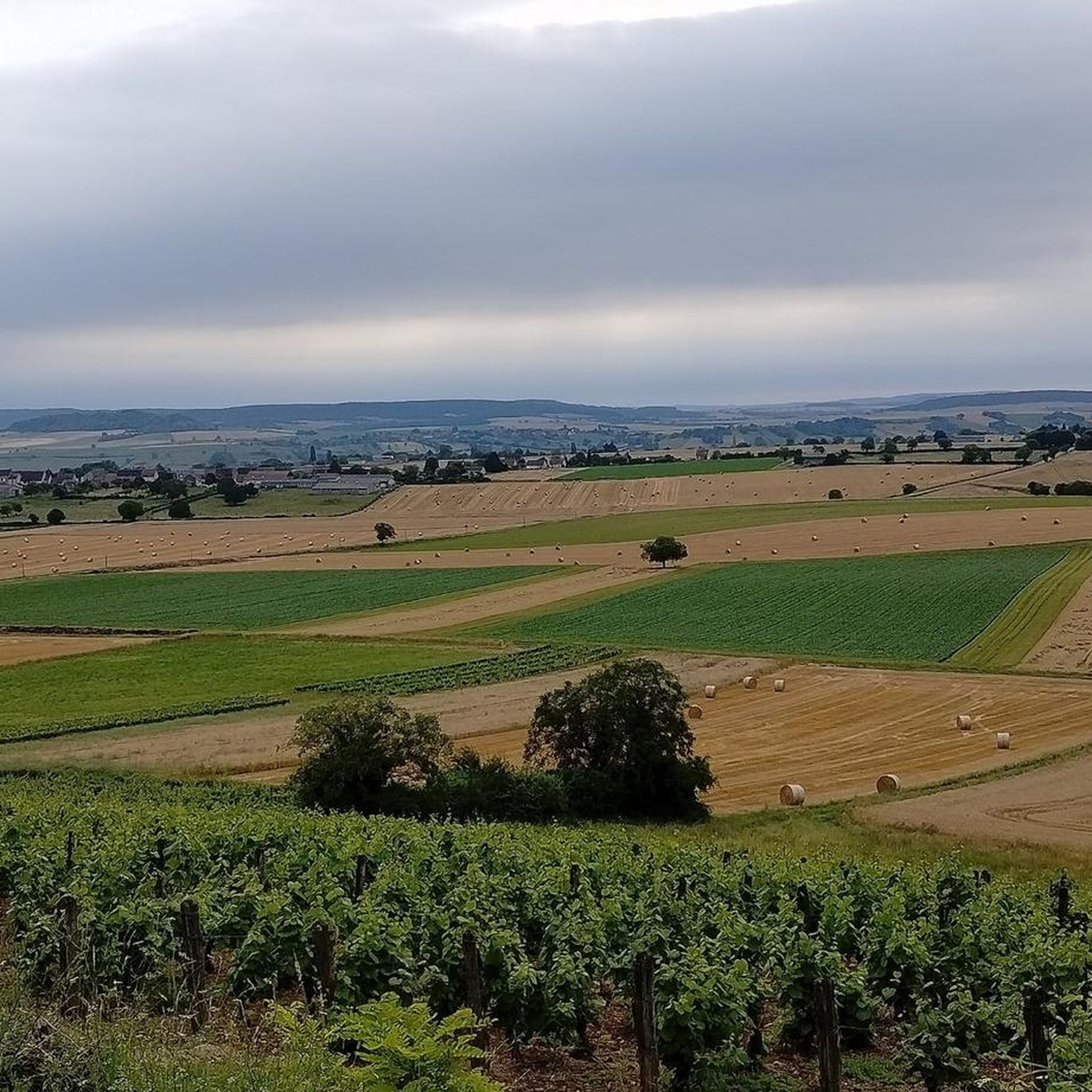
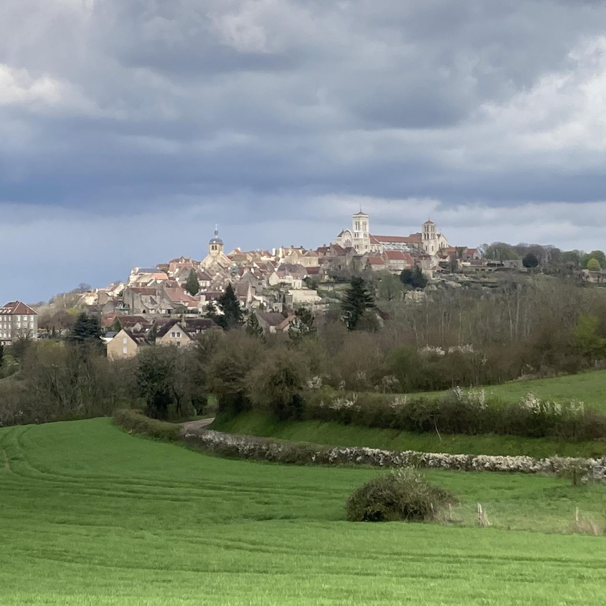
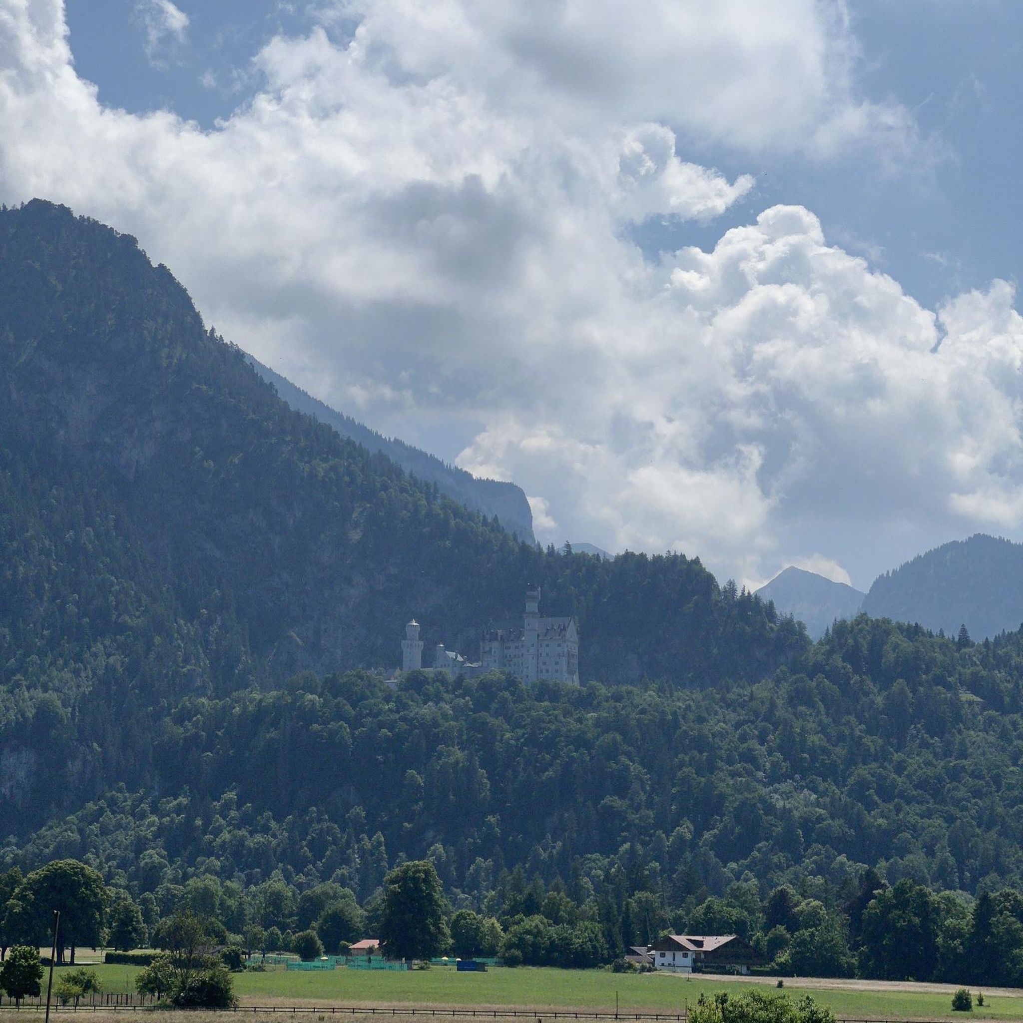

Tips from the Community

in Chaumot, a very pleasant little port and refreshment bar on the canal.
0
0

The village is home to a very beautiful castle dating from the 14th century, belonging by inheritance or sale to many private families. The writer Jules Renard (1864-1910) lived his entire childhood in the village. He was mayor of the village from 1904 until his death. He is buried in the village cemetery.
0
0

A natural stream in the middle of town.
1
0

Frequently Asked Questions
What types of landscapes can I expect to see while hiking around Saint-Didier?
Hiking around Saint-Didier offers a diverse range of landscapes. You'll encounter rolling hills, picturesque vineyards, and stunning lavender fields, especially vibrant in summer. The region is nestled between the Vaucluse and Luberon mountains, providing views of the iconic Mont Ventoux and the dramatic craggy peaks of the Dentelles de Montmirail. You can also explore the impressive Gorges de la Nesque and the natural spring at Fontaine-de-Vaucluse.
Are there hiking trails suitable for beginners or those looking for an easy walk?
Yes, Saint-Didier offers trails for various skill levels, including easy options. There are 3 easy routes available. For example, the Chitry‑les‑Mines Castle loop from Chitry-les-Mines is an easy 5.5 km (3.4 miles) path with minimal elevation gain, perfect for a relaxed outing.
What are some notable natural features or landmarks I can discover on a hike?
Beyond the general scenery, you can discover several interesting features. The region is known for its 17th-century oratories along specific trails. You might also encounter historic castles like Cuncy Castle or Chitry‑les‑Mines Castle. The Ribastié Watchtower on the Vaucluse Plateau offers panoramic views, and the natural spring at Fontaine-de-Vaucluse is a captivating sight.
Are there any circular hiking routes available in the Saint-Didier area?
Yes, many of the hiking routes around Saint-Didier are circular, allowing you to start and end in the same location. For instance, the popular View of Pignol Castle – Château de Lys loop from Tannay is a moderate 7.6 km (4.7 miles) circular trail. Another option is the Saizy-Vignol-Le Réconfort loop from Saizy, a moderate 8.9 km (5.5 miles) route.
What do other hikers say about the trails in Saint-Didier?
The hiking trails in Saint-Didier are highly regarded by the komoot community, holding an average rating of 4.6 out of 5 stars from over 20 reviews. Hikers often praise the varied terrain, the stunning views of Mont Ventoux and the Luberon mountains, and the opportunity to explore charming villages and historical sites along the way.
Can I find more challenging hikes with significant elevation gain?
Yes, for those seeking a more strenuous experience, Saint-Didier offers challenging routes. There are 3 difficult routes in the area. An example is the Path overgrown – Rest area loop from La Maison-Dieu, which is a demanding 29.4 km (18.3 miles) trail with over 400 meters (1,300 feet) of elevation gain, typically taking around 8 hours to complete.
What is the best time of year to go hiking in Saint-Didier?
The best time for hiking in Saint-Didier is generally spring (April-May) and autumn (September-October) when the weather is mild and pleasant. Summer (June-August) is also popular, especially for experiencing the vibrant lavender fields of Sault, though temperatures can be higher. Winter offers a different, quieter experience, but some higher elevation trails might be less accessible.
Are there any specific trails that offer panoramic viewpoints?
Many trails in the region offer spectacular panoramic views. The area around Mont Ventoux provides expansive vistas. Specifically, the Ribastié Watchtower on the Vaucluse Plateau is known for its 360° views of the southern Ventoux plain and nearby villages like Venasque and Le Beaucet, making it a great destination for scenic hikes.
Are there any options for longer, multi-hour hikes?
Absolutely. If you're looking for longer excursions, Saint-Didier has several options. The Path overgrown – Rest area loop from La Maison-Dieu is a difficult 29.4 km (18.3 miles) route that typically takes around 8 hours. Another substantial option is the Rest area – Path overgrown loop from La Maison-Dieu, a 22.0 km (13.7 miles) trail that can take nearly 6 hours to complete.
What kind of historical or cultural sites can I encounter on a hike?
Beyond natural beauty, hiking around Saint-Didier allows you to experience local culture and history. The village itself boasts charming streets and medieval architecture, including the historic Église Saint-Didier. Many trails pass through or near picturesque villages like Le Beaucet, Venasque, and La Roque-sur-Pernes, offering glimpses into Provençal life. The vibrant Marché Provençal in Saint-Didier is also a cultural highlight.
Most popular attractions around Saint-Didier

Get inspired with the komoot mobile app


Explore more
Browse the best Hikes in other regions.
