The best cycling routes around Saint-Fons
4.4
(2825)
36,789
riders
13
rides
Touring cycling routes around Saint-Fons are primarily shaped by the Rhône River, offering a network of paths that connect urban areas with natural spaces. The region provides access to the ViaRhôna, a long-distance cycling route, and features riverside greenways. While Saint-Fons itself is an urban commune, its proximity to Lyon allows cyclists to explore extensive riverbanks and large city parks. The terrain is generally flat along the river, with some routes extending into varied landscapes.
Best touring cycling routes around…
Last updated: October 18, 2026
21
riders
Easy bike ride. Great for any fitness level. Mostly paved surfaces. Suitable for all skill levels.
16
riders
20.0km
01:12
50m
50m
Easy bike ride. Great for any fitness level. Mostly paved surfaces. Suitable for all skill levels.

15
riders
16.7km
01:02
60m
60m
Easy bike ride. Great for any fitness level. Mostly paved surfaces. Suitable for all skill levels.
8
riders
16.0km
00:59
50m
50m
Easy bike ride. Great for any fitness level. Mostly paved surfaces. Suitable for all skill levels.
6
riders
23.7km
01:27
120m
120m
Easy bike ride. Great for any fitness level. Mostly paved surfaces. Suitable for all skill levels.
Get access to more routes and recommendations from other explorers.
Already have an account?
Our route recommendations are based on thousands of hikes, rides, and runs completed by other people on komoot.
Start today with a free account
Your next adventure awaits.
Tips from the Community

you must have been at the wedding!
0
0

Modern architecture at a prominent point, the confluence of the Rhône and Saône.
0
0

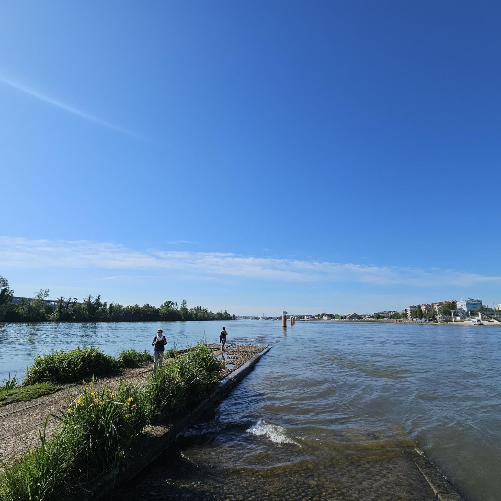
At the confluence – how many trams have drowned here?
0
0

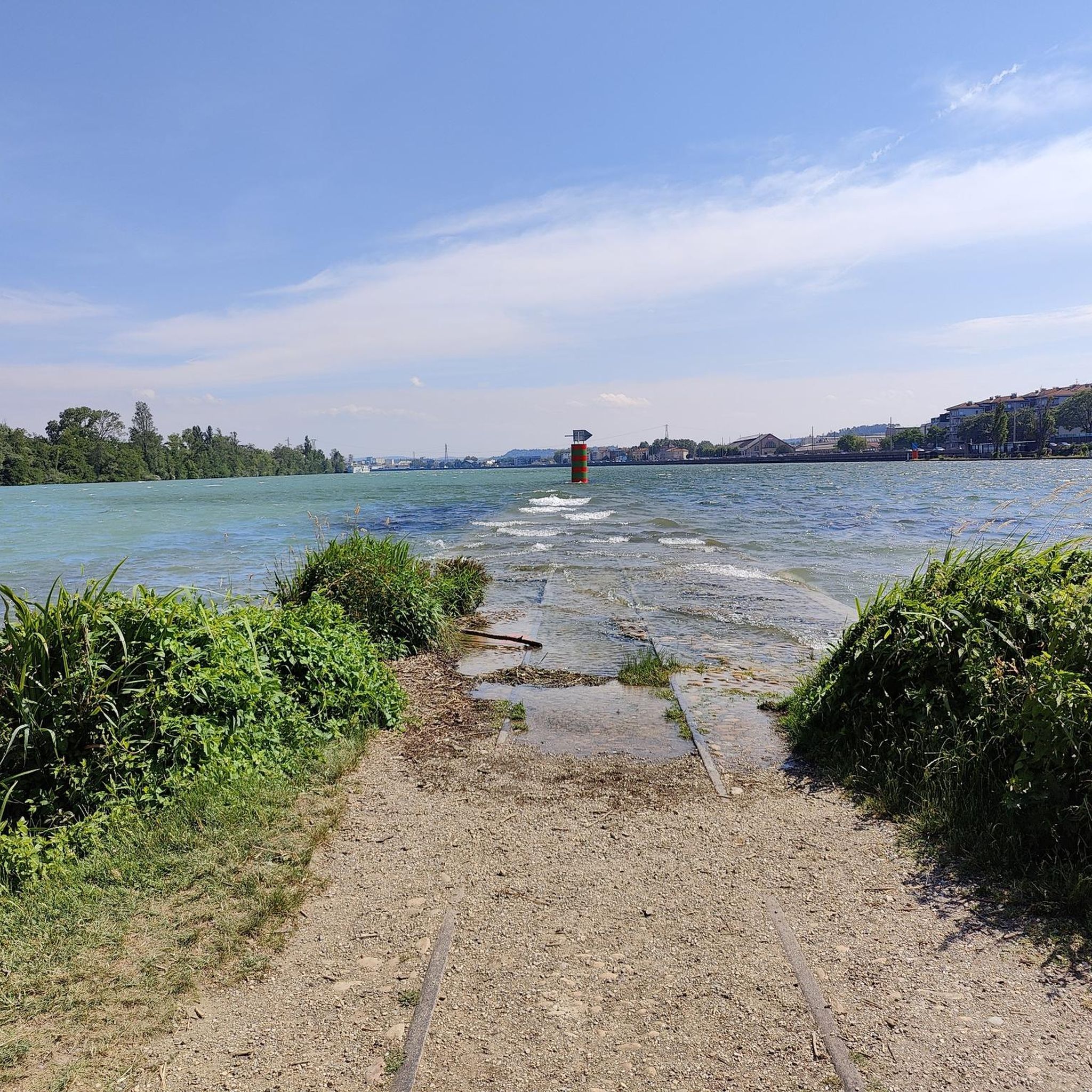
Beautiful and quiet place in the evening. It's nice to walk or run 🏃♂️
0
0

The Musée des Confluences is a museum of natural history, anthropology, societies, and civilizations. It houses the collections of the Musée Guimet and is tasked with supplementing these collections with acquisitions. It receives deposits and loans from various museums and institutions (art and culture museums, botanical gardens, foundations, religious congregations, etc.) for its temporary and permanent exhibition spaces. The museum's activities are focused on scenography (collaboration with musical and theater venues). The Musée des Confluences' permanent exhibition is divided into four exhibition spaces, entitled "Origins: Stories of the World"; "Societies: The Theater of Humanity"; "Species: The Mesh of Life"; and "Eternities: Visions of the Beyond."
0
0
The Raymond-Barre Bridge is a bridge reserved for soft transport located in Lyon on the Rhône River, connecting the south of Confluence to Gerland, the Musée des Confluences, the Pasteur Bridge, and the Parc des Berges. Designed by architect Alain Spielmann, it was built downstream of the Pasteur Bridge to cross the Rhône. It is used by trams, pedestrians, and cyclists. It is 260 m long and 17.50 m wide. It consists of three spans: a central span of 150 m, flanked by two others of 72 m and 38 m. Construction began on November 24, 2011, with the laying of the foundation stone, and was completed in September 2013.
0
0

coating in very good condition but full of people at the slightest hint of sunshine
0
0

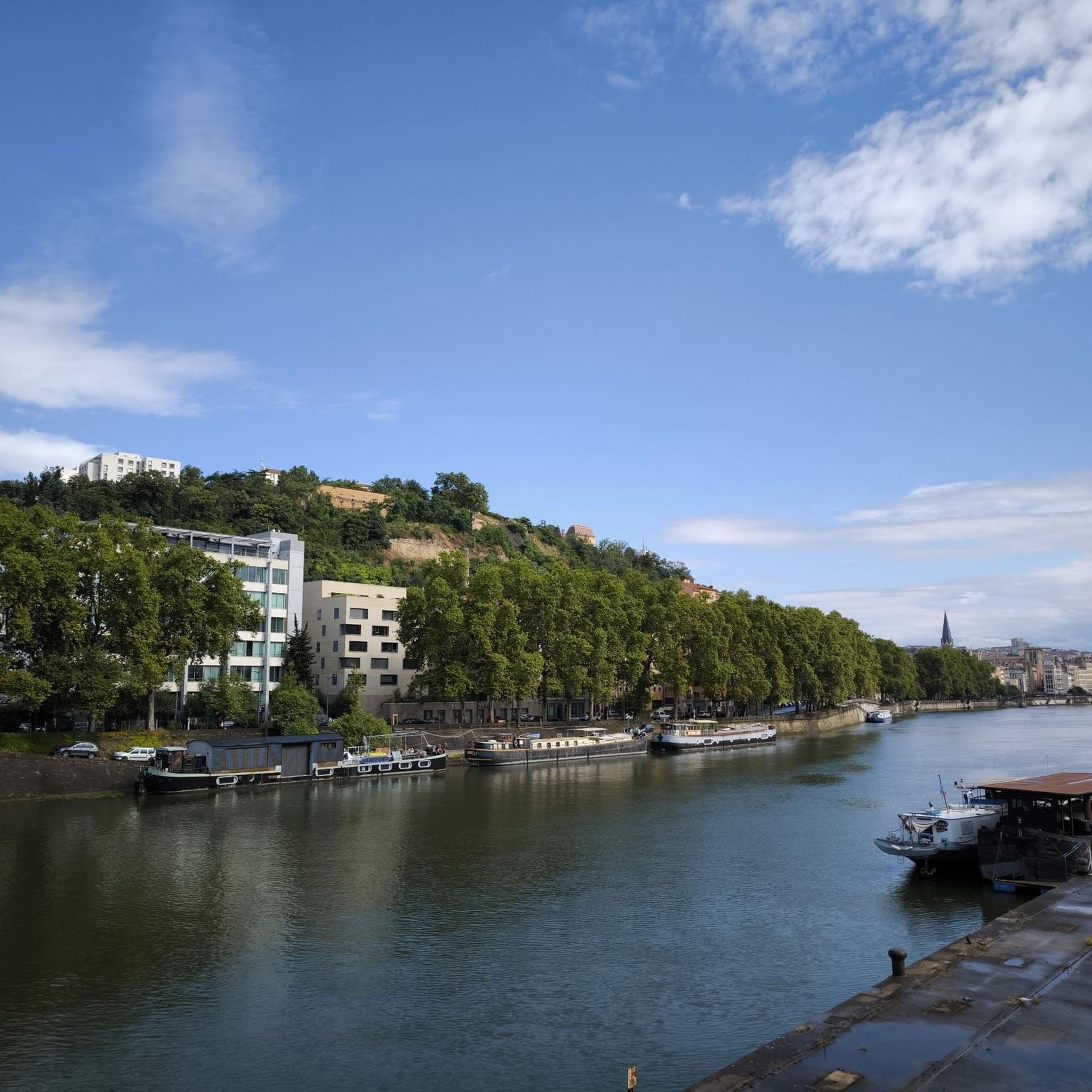
The quai Claude-Bernard is a quay located on the left bank of the Rhone in Lyon in the 7th arrondissement, between place Raspail and avenue Berthelot. It is bordered by the Karen Blixen embankment which constantly hosts river cruise ships.
1
0
Frequently Asked Questions
How many touring cycling routes are available around Saint-Fons?
There are over 880 touring cycling routes around Saint-Fons, offering a wide variety of options for different preferences and skill levels. These routes are highly rated by the komoot community, with an average score of 4.38 stars from over 2,600 reviews.
What is the best time of year for touring cycling in Saint-Fons?
The region around Saint-Fons, benefiting from its location along the Rhône, is generally pleasant for cycling from spring through autumn. The weather is typically mild, making it ideal for exploring the riverside paths and urban parks. Summer can be warm, so early mornings or late afternoons are often preferred for longer rides.
Are there routes suitable for beginners or families in Saint-Fons?
Yes, Saint-Fons offers numerous routes suitable for beginners and families. Many sections of the ViaRhôna are well-developed with asphalted paths and greenways, making them easy to navigate. For example, the View of Mont Blanc loop from Feyzin is an easy 21 km route that offers scenic views without significant climbs.
Are there any circular touring cycling routes near Saint-Fons?
Yes, many touring cycling routes around Saint-Fons are designed as loops, allowing you to start and end at the same point. Popular circular routes include the Parc des Berges Nord – Raymond Barre Bridge loop from Irigny-Yvours, which covers 36.2 km along the river, and the Rhône Riverbanks – Lake at Parc de la Tête d'Or loop from Stade de Gerland—Le LOU, a 40 km moderate path through urban parks and along the Rhône.
What natural features can I explore while cycling near Saint-Fons?
The primary natural feature is the Rhône River itself, with its scenic banks providing numerous cycling paths. You can also explore green spaces like the Feyssine Park and the Parc des Berges du Rhône in Lyon, which offer vast lawns and Mediterranean-style gardens. The "Sentier de l'Homme et du Fleuve" on the Ile de la Table Ronde near Vernaison also provides a pleasant loop with informational panels about the river's history.
What historical or cultural landmarks can I see along the cycling routes?
While Saint-Fons is primarily urban, its proximity to Lyon means you can easily cycle to significant landmarks. These include the iconic Basilica of Fourvière with its panoramic views, and the historic Old Lyon (Vieux Lyon). The Croix-Rousse Tunnel offers a unique urban cycling experience, and the Saône Gorge Promenade provides access to the city's historical heart.
How can I access the cycling routes around Saint-Fons using public transport?
Saint-Fons is well-connected within the Metropolis of Lyon, making public transport a viable option to reach various starting points for cycling routes. Lyon's extensive public transport network, including trams, buses, and metro, can take you close to the Rhône riverbanks and major parks like Parc de la Tête d'Or or Parc des Berges du Rhône, where many routes begin. For journeys further south along the ViaRhôna, taking a train from Lyon to Givors might be a convenient option.
Are there places to park my car if I drive to the cycling routes?
Given Saint-Fons' urban setting and its integration into the Lyon metropolitan area, parking options are available, particularly near major parks and residential areas. Many routes start from accessible points within Lyon or its immediate suburbs, where public parking facilities or street parking can be found. It's advisable to check local parking regulations and availability for your chosen starting point.
Can I find cafes or restaurants along the cycling routes near Saint-Fons?
Yes, especially along the Rhône Riverbanks and within the city of Lyon, you'll find numerous cafes, restaurants, and snack bars. The routes often pass through or near urban centers and parks that are well-equipped with amenities. For example, cycling through Lyon's Parc de la Tête d'Or or along the Parc des Berges du Rhône will offer plenty of opportunities for refreshments and meals.
What do other touring cyclists enjoy most about cycling in Saint-Fons?
The area is highly rated by the komoot community, with an average score of 4.38 stars. Reviewers often praise the accessibility of the routes, the scenic riverside paths along the Rhône, and the ability to combine natural exploration with urban landmarks. The connection to the ViaRhôna is also a significant draw for those looking for longer, well-maintained cycling experiences.
Are there any advanced or more challenging touring cycling routes?
While many routes are easy to moderate, there are options for more experienced cyclists. For instance, the Feyzin Fort – Vernaison Island loop from Irigny-Yvours is a difficult 55.8 km trail that includes more significant elevation changes, making it a good choice for those seeking a longer and more challenging ride through varied landscapes.
Are there any specific sections of the ViaRhôna accessible from Saint-Fons?
Saint-Fons is strategically located to access the ViaRhôna, which runs directly along the Rhône River. Cyclists can easily join sections of this long-distance route, particularly those heading north towards Lyon's city center and its parks, or south towards more rural landscapes. The route around Lyon offers greenways and dedicated cycle tracks, providing a great way to explore the region.
Most popular routes around Saint-Fons
Most popular attractions around Saint-Fons

Get inspired with the komoot mobile app


Explore more
Browse the best Cycling routes in other regions.
