The best road cycling routes around Chevrières
4.4
(96)
2,441
riders
177
rides
Road cycling around Chevrières offers varied terrain, characterized by extensive forests and gently rolling landscapes. The region features numerous woodlands, including the Forêt d'Halatte, which contains Mont Pagnotte, a hill reaching 222 meters. Cyclists can find both challenging climbs and more leisurely rides through these natural settings. The network of routes provides diverse options for exploring the area's physical features.
Best road cycling routes around Chevrières
- The most popular road cycling route is Around the Chambaran forest, a 37.3…
Last updated: July 1, 2026
4.3
(3)
29
riders
60.0km
02:53
850m
850m
Moderate road ride. Good fitness required. Mostly well-paved surfaces and easy to ride.
192
riders
30.2km
01:21
270m
270m
Easy road ride. Great for any fitness level. Mostly well-paved surfaces and easy to ride.

Sign up for free
110
riders
57.2km
03:28
1,450m
1,450m
Hard road ride. Very good fitness required. Mostly well-paved surfaces and easy to ride.
61
riders
66.9km
03:42
1,390m
1,390m
Hard road ride. Very good fitness required. Mostly well-paved surfaces and easy to ride.
73
riders
168km
06:55
890m
890m
Hard road ride. Very good fitness required. Some segments of this route may be unpaved and difficult to ride.
Get access to more routes and recommendations from other explorers.
Sign up for free
Already have an account?
Our route recommendations are based on thousands of hikes, rides, and runs completed by other people on komoot.
Start today with a free account
Your next adventure awaits.
Login or Signup
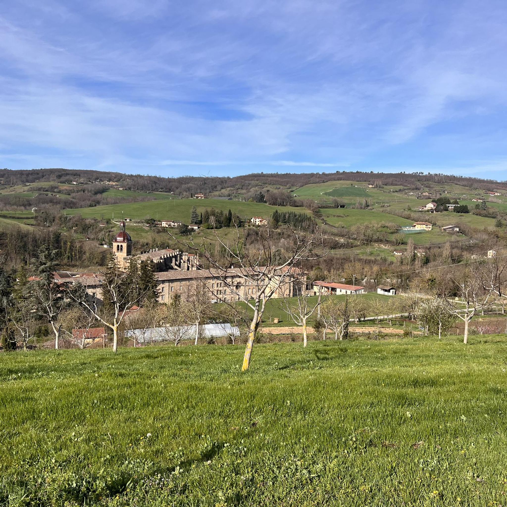
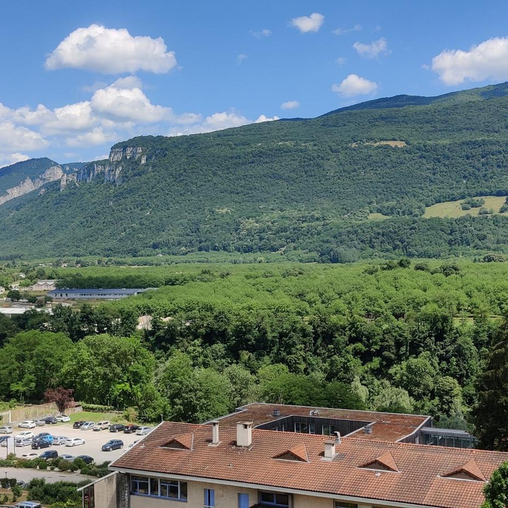
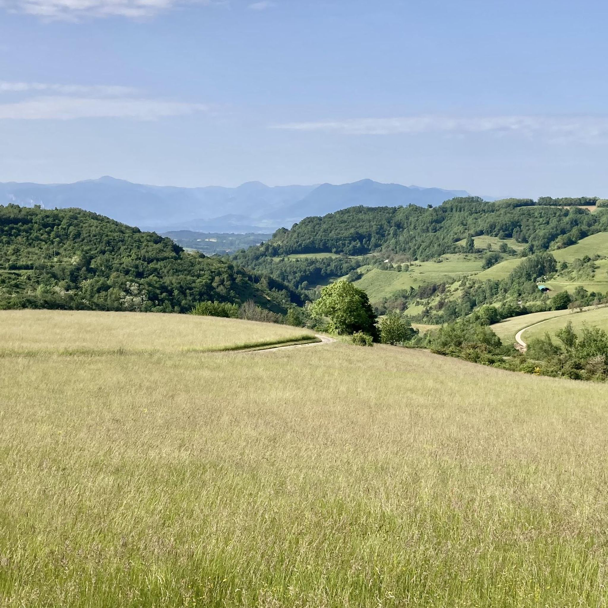
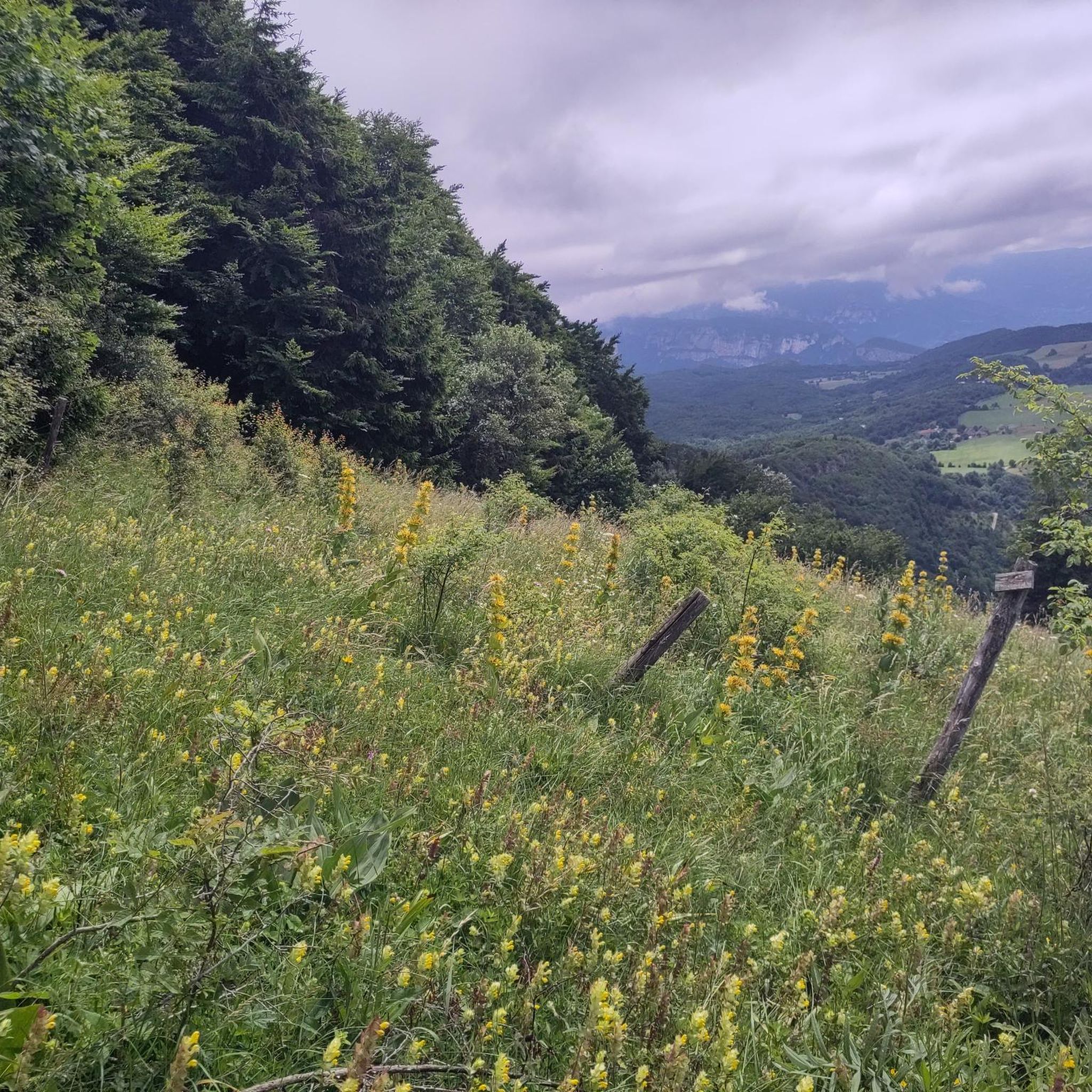
Tips from the Community

Stunning view of the narrow opening of the Nan gorges.
0
0
Western entry point to the Bourne gorges, and to the magnificent road leading up to Presles.
0
0


a beautiful place along the Isere
0
0
Easy to cycle for anyone with any type of bike.
0
0

Perhaps the most beautiful road in the Vercors? In any case, one of the wildest with its tunnels and narrow passages.
0
0
The statue dominates the village of Cognin, you can see it from the road
0
0
Perhaps the most beautiful road in the Vercors? In any case, the road to the Gorges du Nan has remained somewhat in its original state, narrow and without a parapet.
2
0
Frequently Asked Questions
How many road cycling routes are available around Chevrières?
There are over 180 road cycling routes available around Chevrières, offering a wide range of options for different skill levels and preferences. This includes 18 easy routes, 103 moderate routes, and 62 difficult routes.
What kind of terrain can I expect on road cycling routes in Chevrières?
The region around Chevrières is characterized by extensive forests like the Forêt d'Halatte and Forêt de Compiègne, offering picturesque and often shaded routes. You'll find a varied terrain with gently rolling landscapes, but also some challenging climbs, such as those leading to Mont Pagnotte, the highest point in Valois. This mix allows for both leisurely rides and more demanding excursions.
Are there easy road cycling routes suitable for beginners or families?
Yes, Chevrières offers 18 easy road cycling routes perfect for beginners or families. A great option is the Saint-Marcellin – Les Noyers loop from Saint-Marcellin, an 18.8-mile (30.2 km) path that provides a relaxed ride through the local countryside.
Where can I find challenging road cycling routes with significant elevation gain?
For those seeking a challenge, Chevrières has 62 difficult routes. Consider the Écouges Tunnel – Pont-en-Royans loop from Saint-Marcellin, a 40.9-mile (65.8 km) trail with substantial climbs, often completed in about 3 hours 37 minutes. Another option is the Around the Chambaran forest route, which is 37.3 miles (59.9 km) with over 850 meters of elevation gain.
What are some scenic stops or attractions along the road cycling routes?
Many routes offer scenic stops and historical attractions. You can explore the 14th-century Saint-Antoine-l'Abbaye, or discover natural wonders like the Gorges du Nan. The Mont Pagnotte viewpoint also offers panoramic views and historical significance as an ancient Celtic and Gallo-Roman colony.
Are there any notable mountain passes for road cyclists in the area?
Yes, the region features several mountain passes that are popular with road cyclists. You can challenge yourself on the Col de la Madeleine (Chambarans) or the Toutes Aures Pass. Other passes include the Lachard Pass (695 m) and the Col de la Fête de Chambarand (685 m).
What do other road cyclists say about the routes in Chevrières?
The road cycling routes in Chevrières are highly rated by the komoot community, with an average score of 4.4 stars from over 89 reviews. Cyclists often praise the varied terrain, the extensive forests providing shade, and the mix of challenging climbs and leisurely rides. Over 2,300 road cyclists have used komoot to explore the area.
What is the best season for road biking around Chevrières?
The extensive forests around Chevrières, such as Forêt d'Halatte and Forêt de Compiègne, provide picturesque and often shaded routes, making spring and autumn ideal for comfortable rides. Summer can also be pleasant, especially in the shaded forest sections, while winter might offer different challenges with cooler temperatures.
Are there any long-distance road cycling routes available?
Yes, many routes offer significant distances. For example, the Étang de Dionay – Saint John the Baptist Church loop from Saint-Marcellin covers 35.9 miles (57.7 km) with over 749 meters of elevation gain. Another option is the Étang de Dionay – Saint-Antoine-l'Abbaye loop from Saint-Marcellin, which is 31.9 miles (51.3 km).
Can I find loop road bike routes in Chevrières?
Yes, many of the road cycling routes around Chevrières are designed as loops, allowing you to start and end at the same point. Examples include the Saint-Marcellin – Les Noyers loop from Saint-Marcellin and the Écouges Tunnel – Pont-en-Royans loop from Saint-Marcellin.
Are there any nearby towns or cultural sites worth visiting by bike?
Absolutely. The region offers charming towns and historical sites within cycling distance. Compiègne, about 13 km away, features a palace, museums, and historic monuments. Senlis, 17 km away, is known for its ruined castle, cathedral, and cobbled streets, making for excellent destinations to combine with your ride.
Most popular attractions around Chevrières

Get inspired with the komoot mobile app


Explore more
Browse the best Road cycling routes in other regions.
