The best running trails around Saint-André-Le-Gaz
4.4
(85)
3,169
runners
284
runs
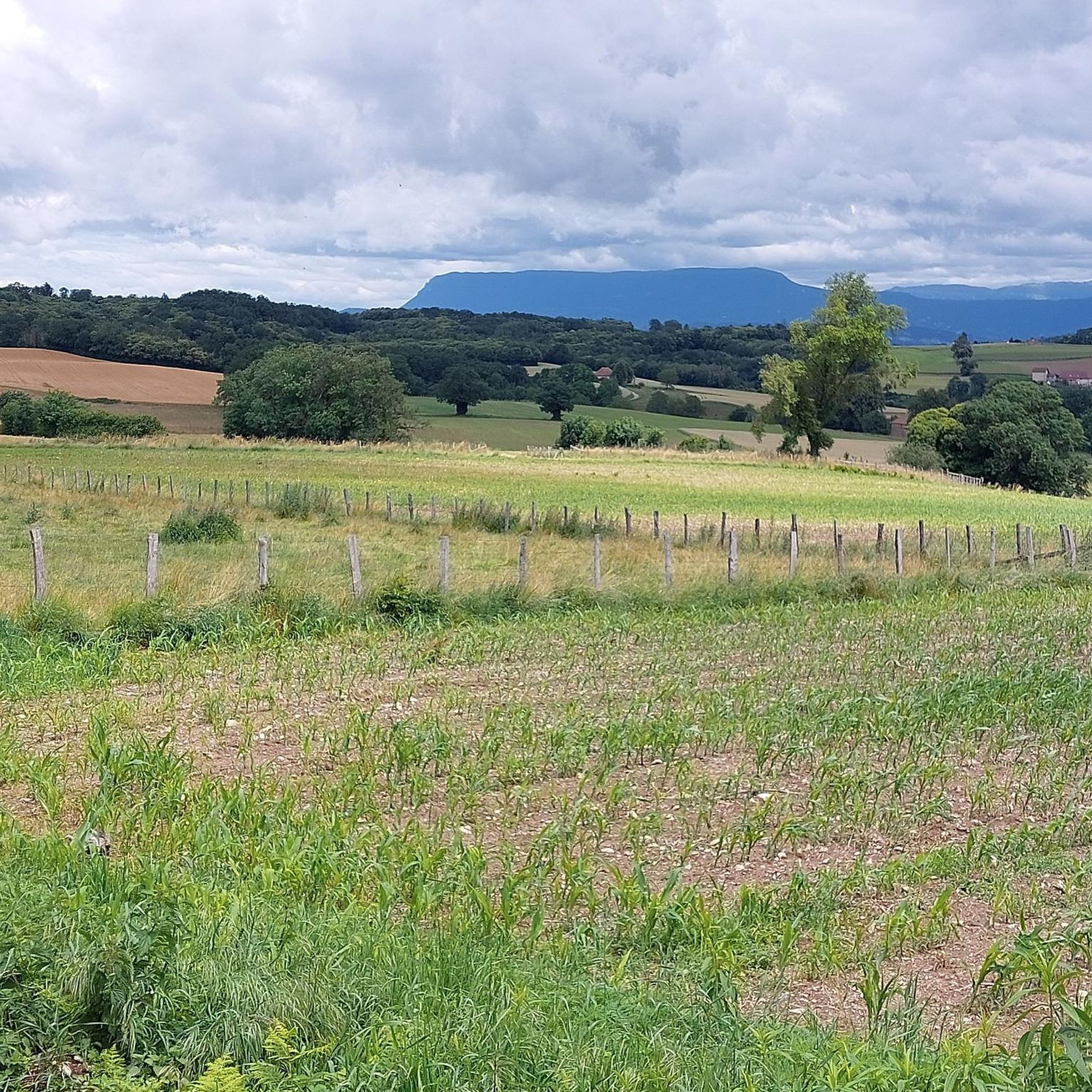
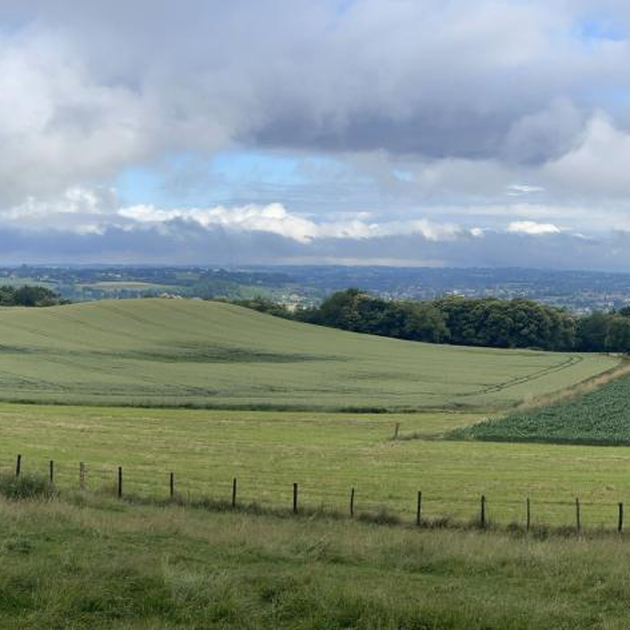
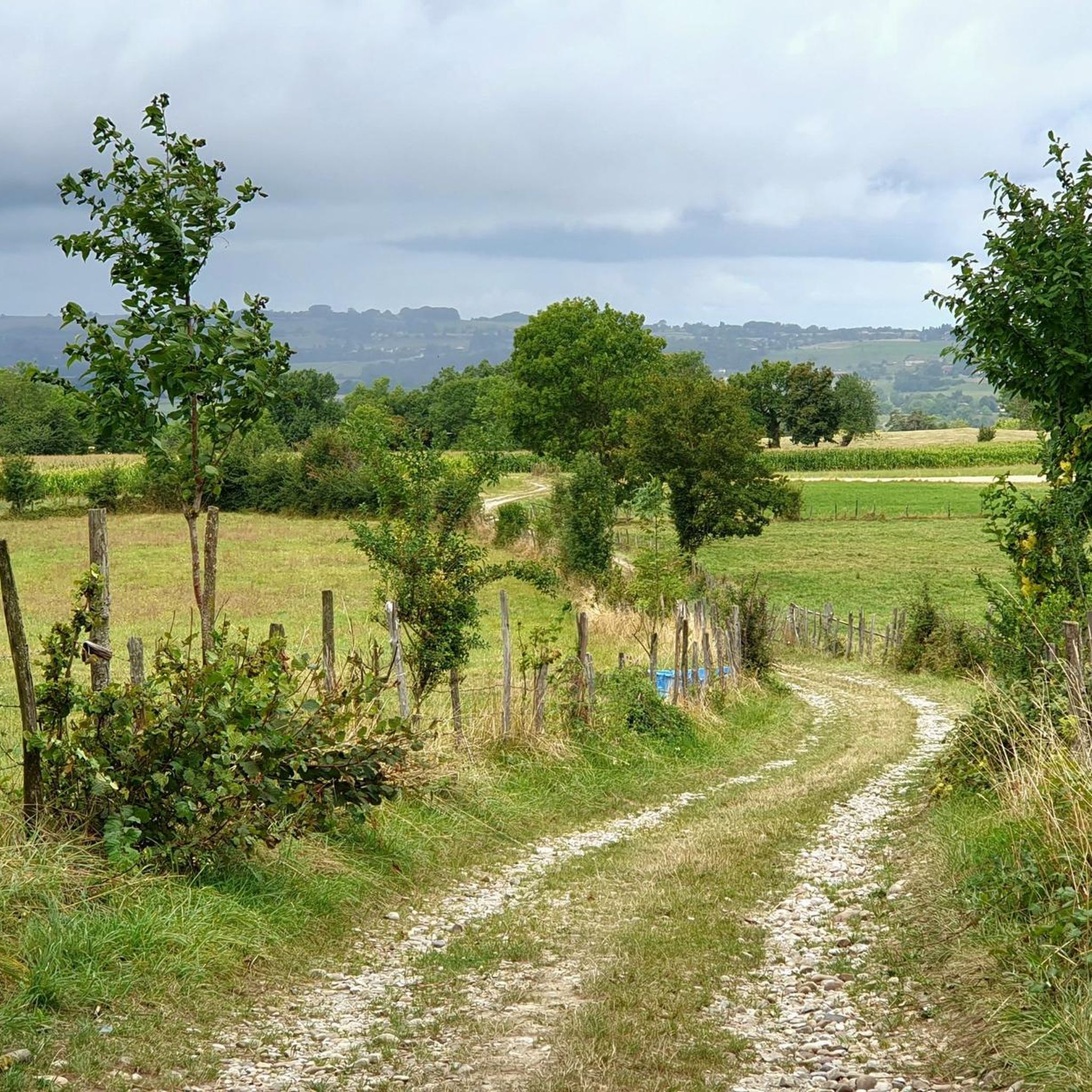
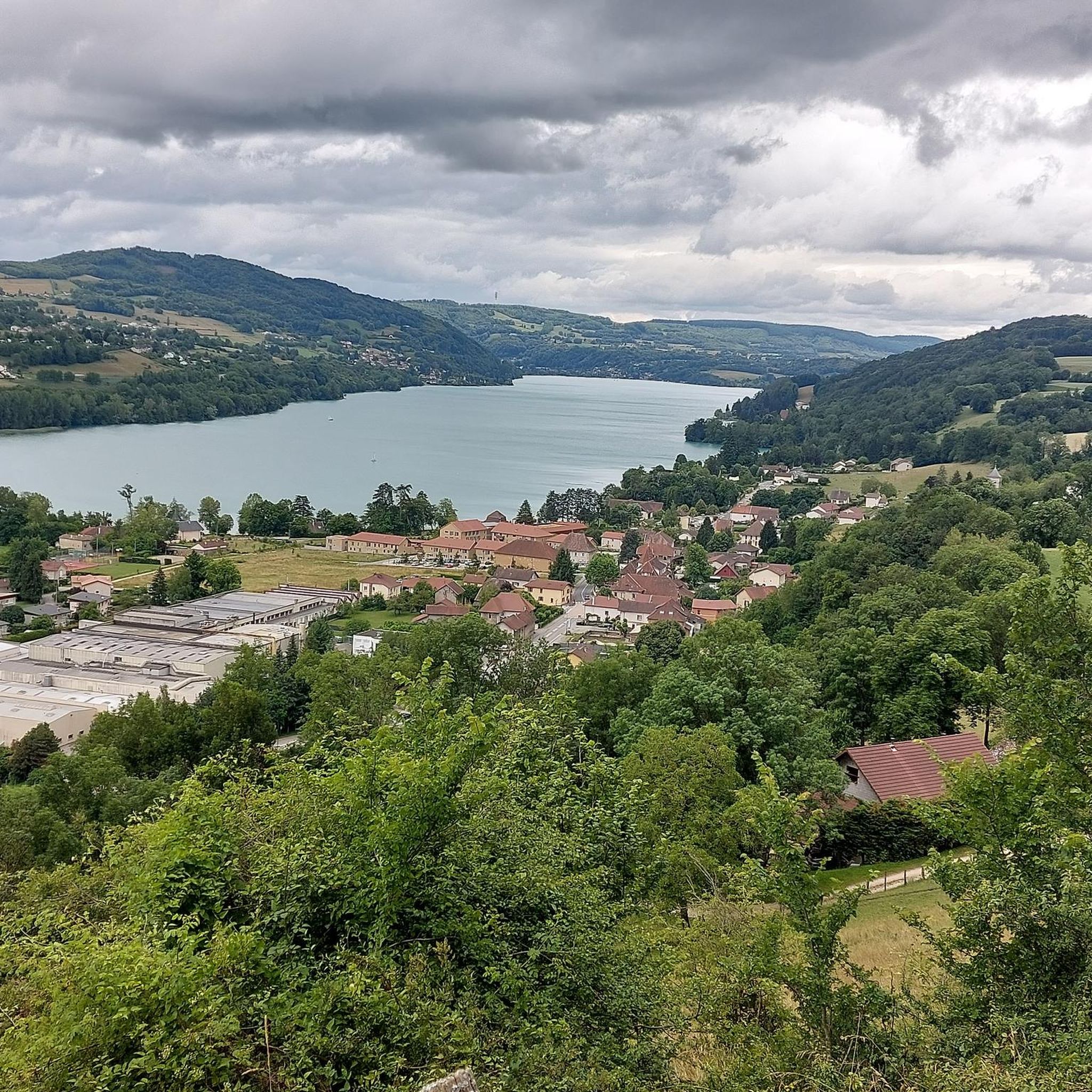
Jogging around Saint-André-Le-Gaz offers a network of paths through a gently rolling landscape. The region features low elevation gains, making it suitable for various fitness levels. Running routes often follow local waterways like the Bourbre river and pass by small lakes, such as the Étang de Tapon. The terrain is generally accessible, providing opportunities for both shorter and longer running experiences.
Best jogging routes around Saint-André-Le-Gaz
- The most popular jogging route is Running loop from Saint-André-le-Gaz, a 5.2 miles…
Last updated: July 1, 2026
6
runners
6.77km
00:45
50m
50m
Moderate run. Good fitness required. Mostly paved surfaces. Suitable for all skill levels.
8
runners
5.93km
00:38
60m
60m
Moderate run. Good fitness required. Mostly paved surfaces. Suitable for all skill levels.

Sign up for free
8
runners
7.60km
00:48
50m
50m
Moderate run. Good fitness required. Mostly paved surfaces. Suitable for all skill levels.
6
runners
9.78km
01:01
80m
80m
Moderate run. Good fitness required. Mostly paved surfaces. Suitable for all skill levels.
2
runners
11.3km
01:15
130m
130m
Moderate run. Good fitness required. Mostly paved surfaces. Suitable for all skill levels.
Get access to more routes and recommendations from other explorers.
Sign up for free
Already have an account?
Our route recommendations are based on thousands of hikes, rides, and runs completed by other people on komoot.
Start today with a free account
Your next adventure awaits.
Login or Signup

Frequently Asked Questions
How many running routes are available around Saint-André-Le-Gaz?
There are over 270 running routes available in the Saint-André-Le-Gaz area. This includes a variety of options, from easy paths to more moderate challenges, catering to different fitness levels.
Are there easy jogging paths suitable for beginners in Saint-André-Le-Gaz?
Yes, Saint-André-Le-Gaz offers a good selection of easy running paths. With over 30 routes classified as easy, the region's gently rolling landscape and low elevation gains make it ideal for beginners or those looking for a relaxed run.
What kind of terrain can I expect on the running trails in Saint-André-Le-Gaz?
The running trails around Saint-André-Le-Gaz feature a gently rolling landscape with low elevation gains. You'll often find routes following local waterways like the Bourbre river and passing by small lakes, such as the Étang de Tapon. The terrain is generally accessible, offering a mix of countryside paths.
Are there any circular running routes in the area?
Many of the running routes in Saint-André-Le-Gaz are designed as loops, offering convenient circular paths. For example, the Étang de Tapon loop from Saint-André-le-Gaz is a popular circular trail that takes you through varied landscapes.
What are some scenic spots or attractions I can see while jogging?
While jogging, you can enjoy the natural beauty of the Étang de Tapon and the Bourbre river. The area also features interesting local landmarks such as the Chemin des marais, the Our Lady of the Vines, and a Restored Washhouse, adding cultural interest to your run.
Are the running trails around Saint-André-Le-Gaz suitable for families?
Yes, the generally accessible terrain and low elevation gains make many running routes in Saint-André-Le-Gaz suitable for families. Look for the easier classified routes, which provide a pleasant experience for all ages.
Can I bring my dog on the running trails?
Most outdoor trails in the Saint-André-Le-Gaz region are dog-friendly, but it's always recommended to keep your dog on a leash, especially when passing through agricultural areas or near wildlife. Always ensure you clean up after your pet.
What do other runners enjoy most about jogging in Saint-André-Le-Gaz?
The running routes in Saint-André-Le-Gaz are highly rated by the komoot community, with an average score of 4.4 stars. Runners often praise the gentle hills, the peaceful local waterways, and the scenic beauty of the Étang de Tapon, which offer a refreshing escape into nature.
Are there any longer running routes for more experienced runners?
Yes, for those seeking a longer challenge, routes like the Bourbre – Bourbre loop from Saint-André-le-Gaz offer a more extended experience, covering over 11 kilometers with moderate elevation changes.
What is the best season for running in Saint-André-Le-Gaz?
The gently rolling landscape of Saint-André-Le-Gaz is enjoyable for running throughout much of the year. Spring and autumn offer pleasant temperatures and vibrant scenery. Summer mornings and evenings are also ideal, while winter runs can be refreshing, especially on clear days.
Are there any running routes that pass by the Étang de Tapon?
Absolutely. The Étang de Tapon is a prominent feature in the local landscape. A popular option is the Étang de Tapon loop from Saint-André-le-Gaz, which provides a scenic run around the lake.
How long do the running routes typically take to complete?
The duration of running routes varies depending on their length and your pace. For instance, a moderate 5.9 km path like the Running loop from Saint-André-le-Gaz typically takes around 37 minutes, while a 9.8 km route around the Étang de Tapon might take about an hour.
Most popular routes around Saint-André-Le-Gaz
Most popular attractions around Saint-André-Le-Gaz

Get inspired with the komoot mobile app


Explore more
Browse the best Running Trails & Routes in other regions.
