The best walks and hikes around Saint-Sauveur
4.6
(371)
2,188
hikers
283
hikes
Hiking around Saint-Sauveur offers a network of trails through varied landscapes. The region features numerous ponds and forested areas, providing opportunities for outdoor exploration. Routes often include gentle elevation changes, making them accessible for different fitness levels. The terrain is characterized by woodlands and open paths, with some trails passing through local villages.
Best hiking trails around Saint-Sauveur
- The most popular hiking route is Verberie Ponds loop from PARK Nautic de Verberie (TNV60), a 2.3 miles (3.7 km) trail…
Last updated: July 2, 2026
5.0
(1)
12
hikers
3.71km
00:56
0m
10m
Easy hike. Great for any fitness level. Easily-accessible paths. Suitable for all skill levels.
5.0
(3)
15
hikers
11.2km
02:50
30m
30m
Moderate hike. Good fitness required. Easily-accessible paths. Suitable for all skill levels.

Sign up for free
5.0
(1)
11
hikers
Easy hike. Great for any fitness level. Easily-accessible paths. Suitable for all skill levels.
4.5
(2)
17
hikers
8.40km
02:08
20m
20m
Moderate hike. Good fitness required. Easily-accessible paths. Suitable for all skill levels.
4.0
(1)
9
hikers
Moderate hike. Good fitness required. Easily-accessible paths. Suitable for all skill levels.
Get access to more routes and recommendations from other explorers.
Sign up for free
Already have an account?
Our route recommendations are based on thousands of hikes, rides, and runs completed by other people on komoot.
Start today with a free account
Your next adventure awaits.
Login or Signup

Tips from the Community


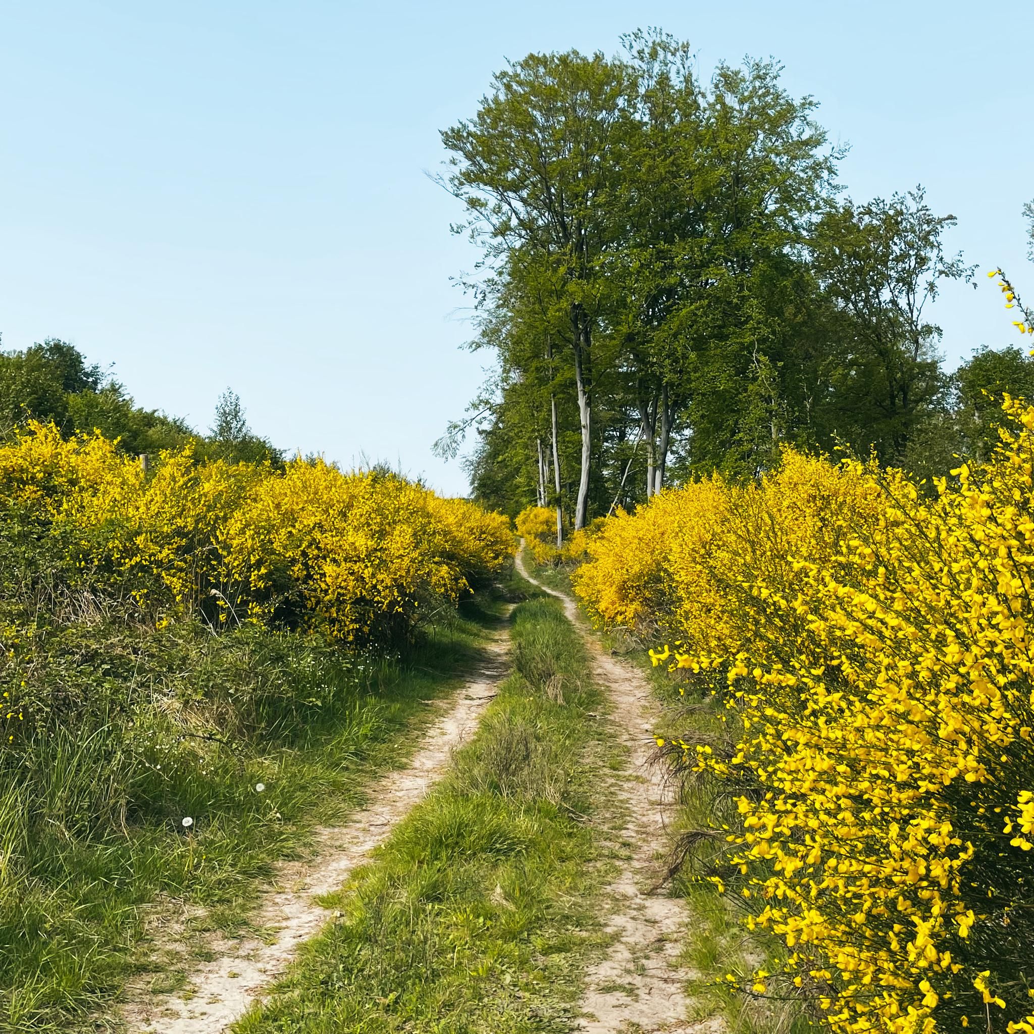
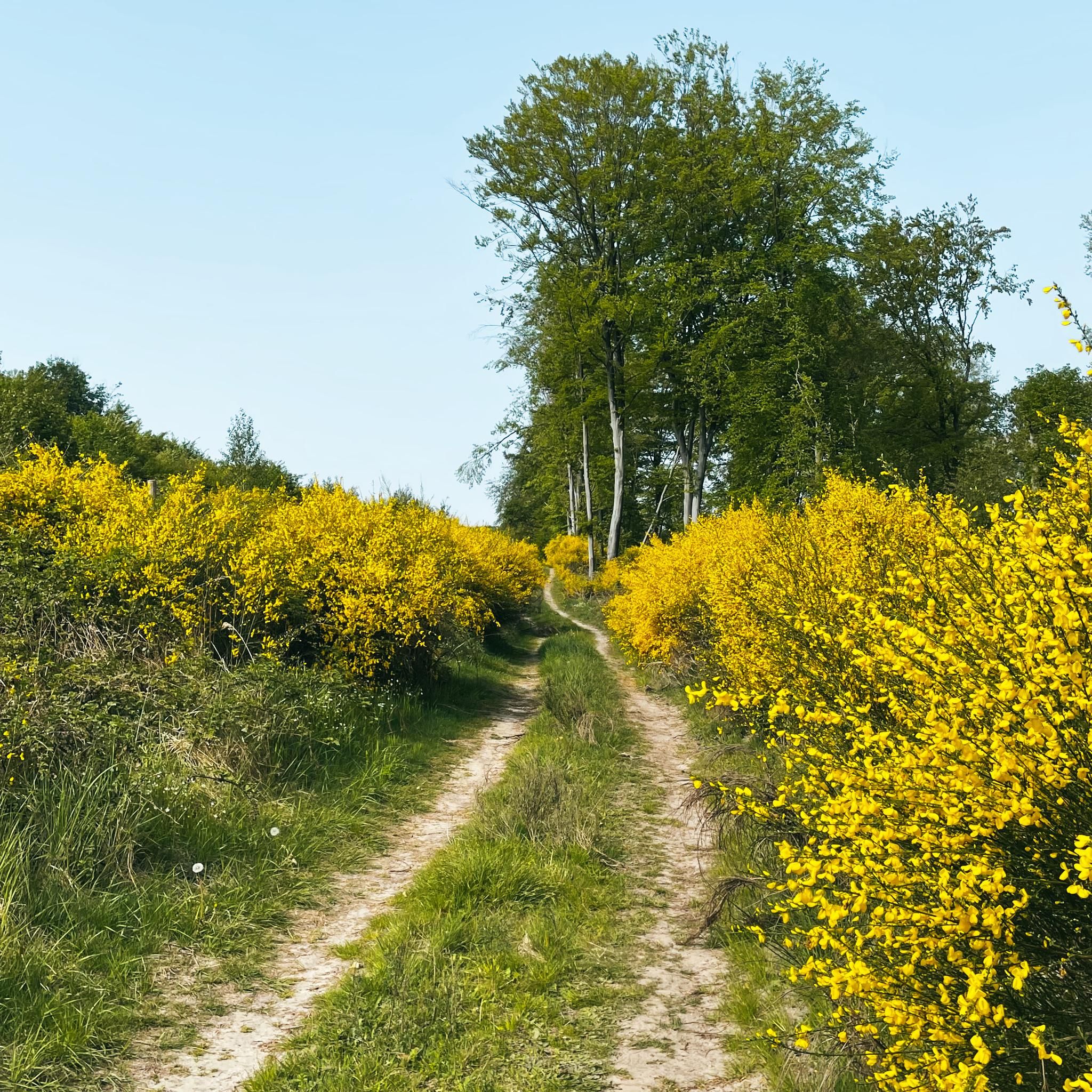
A lovely section of trail through the ponds. It's well-surfaced and very quiet.
2
0

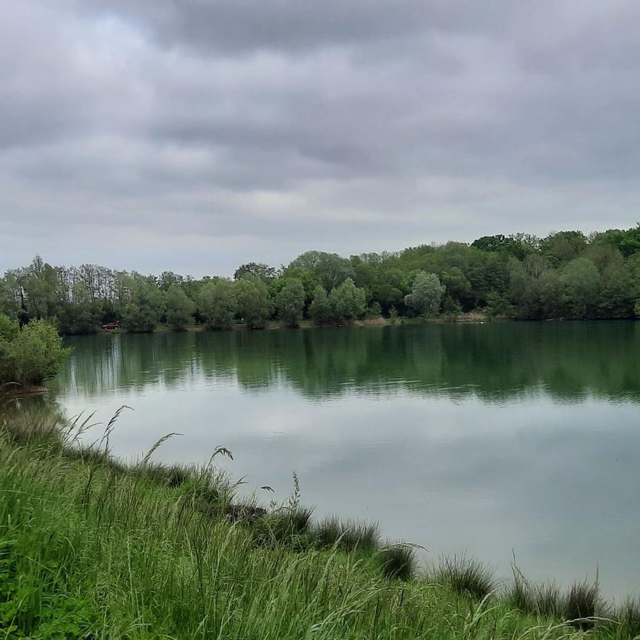
Very beautiful ponds on the Oise near Verberie.
1
0

Take good tires and provisions with you
1
0

This architectural ensemble included thermal baths, a performance building and a temple. To have !
0
0


The Gallo-Roman site of Champlieu is located on a plateau near the Compiègne forest. The site offers the ruins of a temple, a theater and a bathing establishment dating from the first centuries of the Roman Empire. You can explore the remains of these ancient buildings and imagine how they looked in their original splendor. You can also admire the medieval church of Champlieu, located nearby and built in the 11th and 12th centuries. The site is open all year round and has information panels and a digital tool to help you better understand its history. By browsing this site, you will immerse yourself in the past and the present and you will have a good sports session.
3
0
Frequently Asked Questions
How many hiking trails are available around Saint-Sauveur?
There are over 260 hiking routes in the Saint-Sauveur region. These include a wide variety of options, with more than 115 easy trails and 145 moderate paths, ensuring there's something for every skill level.
Are there any easy, family-friendly hikes in Saint-Sauveur?
Yes, Saint-Sauveur offers many easy trails suitable for families. A great option is the Verberie Ponds loop from PARK Nautic de Verberie (TNV60), which is an easy 2.3-mile (3.7 km) loop offering pleasant views of the ponds. Another accessible choice is the Hiking loop from Église Notre-Dame-de-la-Nativité et Saint-Jacques, a 4.5-mile (7.3 km) trail through village surroundings.
What kind of terrain can I expect on hikes in Saint-Sauveur?
The terrain around Saint-Sauveur is characterized by tranquil ponds, dense woodlands, and open paths. You'll find routes with gentle elevation changes, making them accessible, and some trails also pass through local villages, offering a mix of natural and cultural scenery.
Are there any circular hiking routes in the Saint-Sauveur area?
Yes, many routes in Saint-Sauveur are circular. For example, the Verberie Ponds loop from Carrefour de la Basse Queue is a moderate 6.9-mile (11.1 km) path that explores the pond area. Another loop option is the Hiking loop from Maison Forestiere du Hourvarie, a moderate 6.7-mile (10.8 km) trail.
What are some notable landmarks or attractions to see while hiking?
The region around Saint-Sauveur is rich in historical sites. You can explore magnificent castles such as Pierrefonds Castle or the Château de Compiègne. Other points of interest include the Saint-Jean-aux-Bois Abbey and Fortified Gate, and the Beaux Monts Viewpoint for scenic vistas.
What do other hikers say about the trails in Saint-Sauveur?
The hiking routes in Saint-Sauveur are highly rated by the komoot community, with an average score of 4.6 stars from over 280 reviews. Hikers often praise the tranquil atmosphere of the ponds and dense woodlands, as well as the well-maintained paths that connect to historical points.
Are there any trails that feature ponds or water views?
Yes, the region is known for its numerous ponds. The Verberie Ponds – Carrefour de la Basse Gué loop from Carrefour de la Basse Queue is an easy 4.5-mile (7.2 km) route specifically designed to showcase the beautiful pond areas.
What is the best time of year to go hiking in Saint-Sauveur?
While hiking is enjoyable year-round, spring and autumn offer particularly pleasant conditions with mild temperatures and beautiful scenery. Spring brings blooming flora, and autumn showcases vibrant fall foliage in the woodlands. Summer is also popular, but trails can be busier.
Are there any challenging hikes for experienced hikers?
While Saint-Sauveur is predominantly known for its easy to moderate trails, there are a few more challenging routes available for those seeking a greater test. The region features 3 difficult routes, offering more elevation and rugged terrain compared to the gentler paths.
What should I wear for hiking in Saint-Sauveur during the fall?
For fall hiking in Saint-Sauveur, it's advisable to dress in layers. Temperatures can vary, so a moisture-wicking base layer, an insulating mid-layer, and a waterproof/windproof outer shell are recommended. Comfortable hiking boots are essential, especially for potentially damp or leaf-covered paths.
Are there any hidden gem hikes in Saint-Sauveur?
Many of the lesser-known trails winding through the dense woodlands and connecting to smaller villages can feel like hidden gems. Exploring the extensive network of over 260 routes, particularly those slightly off the main paths, often reveals quiet, picturesque sections of the region.
Most popular routes around Saint-Sauveur
Most popular attractions around Saint-Sauveur

Get inspired with the komoot mobile app


Explore more
Browse the best Hikes in other regions.
