The best road cycling routes around Gatuzières
4.7
(182)
4,297
riders
81
rides
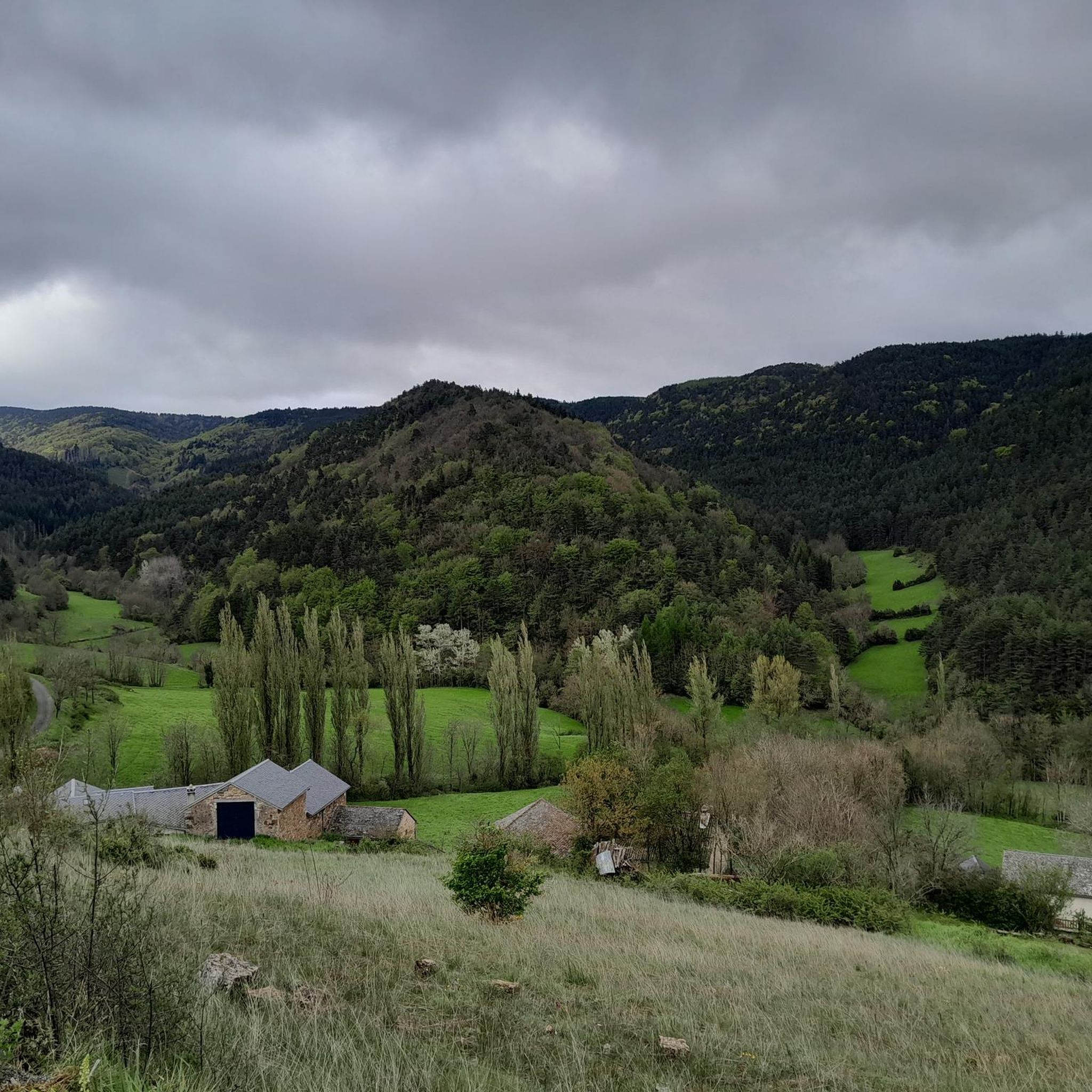
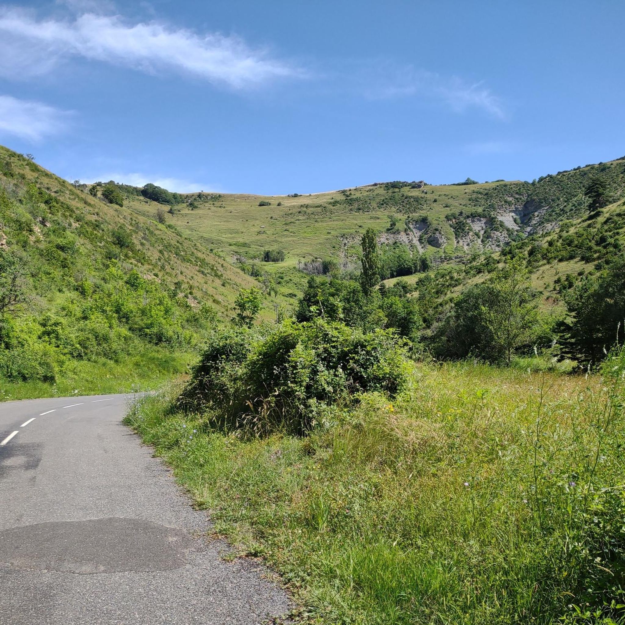
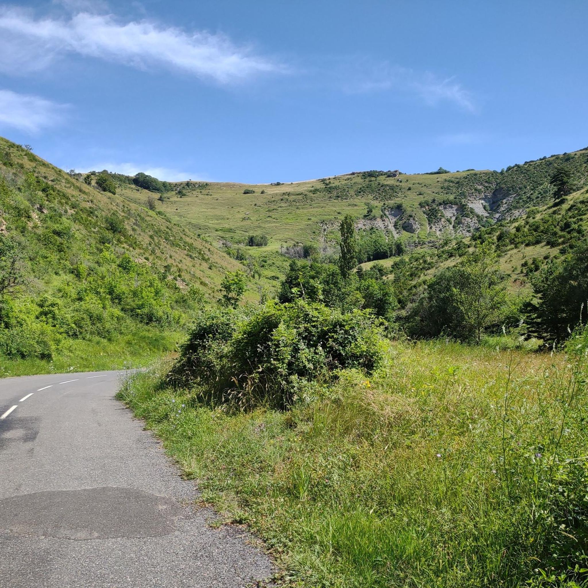
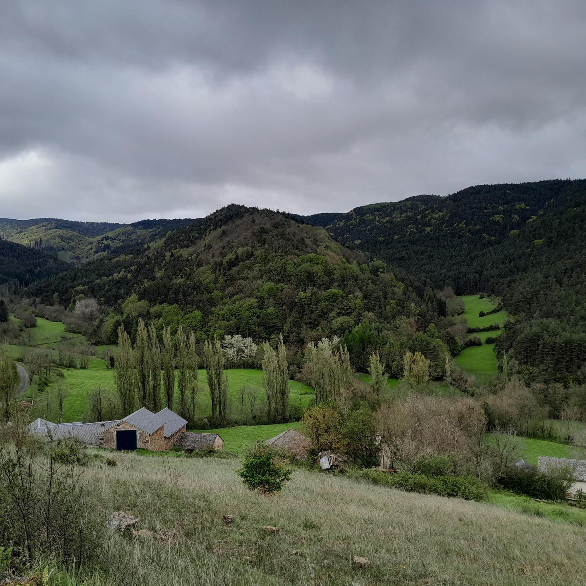
Road cycling routes around Gatuzières are situated within the Cévennes National Park, a UNESCO World Heritage site in southern France. The region features a mountainous climate with elevations ranging from 759 to 1,562 meters, characterized by deep gorges carved by rivers like the Jonte and expansive limestone plateaus such as Causse Méjean. This diverse topography provides varied terrain for road cyclists, including challenging climbs and winding roads.
Best road cycling routes in Gatuzières
- The most popular road cycling route is…
Last updated: July 13, 2026
5.0
(1)
94
riders
73.3km
03:42
1,240m
1,240m
Hard road ride. Very good fitness required. Mostly well-paved surfaces and easy to ride.
4.0
(1)
16
riders
89.4km
04:37
1,570m
1,570m
Hard road ride. Very good fitness required. Mostly well-paved surfaces and easy to ride.

Sign up for free
4.9
(20)
455
riders
70.2km
03:29
1,000m
1,000m
Hard road ride. Very good fitness required. Some segments of this route may be unpaved and difficult to ride.
265
riders
139km
07:13
2,530m
2,530m
Hard road ride. Very good fitness required. Mostly well-paved surfaces and easy to ride.
4.6
(7)
121
riders
68.5km
03:37
1,090m
1,090m
Hard road ride. Very good fitness required. Some segments of this route may be unpaved and difficult to ride.
Get access to more routes and recommendations from other explorers.
Sign up for free
Already have an account?
Our route recommendations are based on thousands of hikes, rides, and runs completed by other people on komoot.
Start today with a free account
Your next adventure awaits.
Login or Signup

Tips from the Community

As a local and a cyclist, I can confirm that the scenery is magnificent and the small roads are ideal for cycling, provided you avoid the peak period from July 15th to August 15th. However, I regret that you only mention the village of Le Rozier in the route descriptions, while the photos are mostly of Peyreleau, a superb, unspoiled village, away from the traffic of the gorges, which it faces on the other side of the Jonte River! Note: Le Rozier is in Lozère, while Peyreleau is in Aveyron.
0
0

A lovely tourist town with plenty of options. Beautiful scenery along the Tarn.
0
0

Can be fresh even in summer
0
0

Great climb, 9% for 4km. Tough but feels good
0
0

It can get very hot in summer, take enough drinks with you as there is little or nothing to buy for miles around
0
0

Frequently Asked Questions
How many road cycling routes are available around Gatuzières?
There are over 75 road cycling routes around Gatuzières, offering a wide range of options for different preferences and skill levels. These routes are situated within the stunning Cévennes National Park.
What kind of terrain can I expect on road cycling routes near Gatuzières?
The region is characterized by a diverse and stunning natural landscape. You can expect mountainous terrain with elevations ranging from 759 to 1,562 meters, deep gorges carved by rivers like the Jonte, and expansive limestone plateaus such as Causse Méjean. The roads are generally quiet, well-paved, and often winding, providing both challenging climbs and panoramic views.
Are there road cycling routes suitable for different skill levels in Gatuzières?
Yes, Gatuzières offers a variety of routes catering to different abilities. While the area is known for its challenging climbs, with 41 routes rated as difficult, there are also 32 moderate routes and 5 easier options available, ensuring there's something for everyone.
What natural landmarks or viewpoints can I see while road cycling around Gatuzières?
Many routes offer breathtaking views of the Cévennes National Park. Notable landmarks you might encounter include Mont Aigoual, a significant mountain in the region, and the dramatic Gorges de la Jonte and Gorges du Tarn. You can also find highlights like Aven Armand, a famous cave, and various mountain passes such as Minier Pass.
Are there any circular road cycling routes in the Gatuzières area?
Yes, many road cycling routes around Gatuzières are designed as loops, allowing you to start and finish in the same location. For example, the Causse Noir and Mont Aigoual Loop is a popular option that offers extensive views and challenging ascents.
Can I find challenging road cycling routes with significant climbs near Gatuzières?
Absolutely. The mountainous terrain of the Cévennes National Park means many routes feature significant elevation gains and challenging climbs, with gradients up to 10%. Routes like the Tour on the plateau of the Cévennes National Park and the Peyrelau Village – Malène Hill loop from Meyrueis are known for their demanding ascents and rewarding panoramic vistas.
What is the best time of year for road cycling in Gatuzières?
The Cévennes region, including Gatuzières, experiences a mountainous climate. Spring and autumn generally offer pleasant temperatures and vibrant scenery, making them ideal for road cycling. Summer can also be excellent, though some routes might be more exposed to the sun, especially on the high plateaus. It's always advisable to check local weather conditions before heading out.
What do other road cyclists enjoy most about road cycling in Gatuzières?
The area is highly rated by the komoot community, with an average score of 4.8 stars from over 140 reviews. Cyclists often praise the region's diverse and stunning natural landscapes, the challenging yet rewarding climbs, and the tranquility of the winding roads within the Cévennes National Park.
Are there any family-friendly road cycling options around Gatuzières?
While many routes in Gatuzières involve significant elevation, there are some easier options available. For family-friendly cycling, it's best to look for routes with less elevation gain or consider sections of longer routes that are flatter. Always check the route's difficulty and elevation profile before setting out with children.
Can I find amenities like cafes or accommodation along road cycling routes in Gatuzières?
The region has charming villages such as Meyrueis, which can serve as good starting points or rest stops. These villages often offer cafes, restaurants, and accommodation options. While the roads themselves are quiet, planning your route to pass through these towns will ensure access to amenities.
Is there parking available for cyclists in Gatuzières or nearby villages?
Yes, you can typically find parking facilities in Gatuzières village and other nearby towns like Meyrueis, which are common starting points for road cycling routes. It's advisable to check specific parking availability for your chosen starting location.
Are there any moderate road cycling routes that offer a good balance of challenge and enjoyment?
Yes, there are 32 moderate routes around Gatuzières that provide a balanced cycling experience. For example, the Peyrelau Village – Le Rozier loop from Meyrueis is a moderate 44.3 km route with manageable elevation, offering scenic views without the extreme demands of the most difficult climbs.
Most popular routes around Gatuzières
Most popular attractions around Gatuzières

Get inspired with the komoot mobile app


Explore more
Browse the best Road cycling routes in other regions.
