The best walks and hikes around Gatuzières
4.5
(874)
5,776
hikers
192
hikes
Hiking around Gatuzières offers access to diverse mountainous landscapes within the Cévennes, a region known for its natural heritage. The terrain is characterized by altitudes ranging from 759m to 1562m, featuring dramatic gorges like the Gorges de la Jonte and Gorges du Tarn, and limestone plateaus such as Causse Méjean and Causse Noir. The area is drained by the Jonte river and smaller watercourses, contributing to varied hiking environments. Pine forests and unique geological formations are prominent features throughout the…
Last updated: July 7, 2026
5.0
(4)
24
hikers
12.8km
03:59
460m
470m
Hike a moderate 8.0-mile loop in Cévennes National Park, climbing 1510 feet through forests and to panoramic views from Mount Aigoual.
4.6
(9)
54
hikers
20.1km
06:06
640m
640m
Hard hike. Very good fitness required. Sure-footedness, sturdy shoes and alpine experience required.

Sign up for free
5.0
(3)
20
hikers
11.8km
03:43
450m
450m
Moderate hike. Good fitness required. Easily-accessible paths. Suitable for all skill levels.
5.0
(5)
16
hikers
6.58km
01:51
140m
130m
Easy hike. Great for any fitness level. Easily-accessible paths. Suitable for all skill levels.
4.3
(11)
36
hikers
8.62km
03:00
350m
350m
Hard hike. Good fitness required. Sure-footedness, sturdy shoes and alpine experience required.
Get access to more routes and recommendations from other explorers.
Sign up for free
Already have an account?
Our route recommendations are based on thousands of hikes, rides, and runs completed by other people on komoot.
Start today with a free account
Your next adventure awaits.
Login or Signup

Tips from the Community

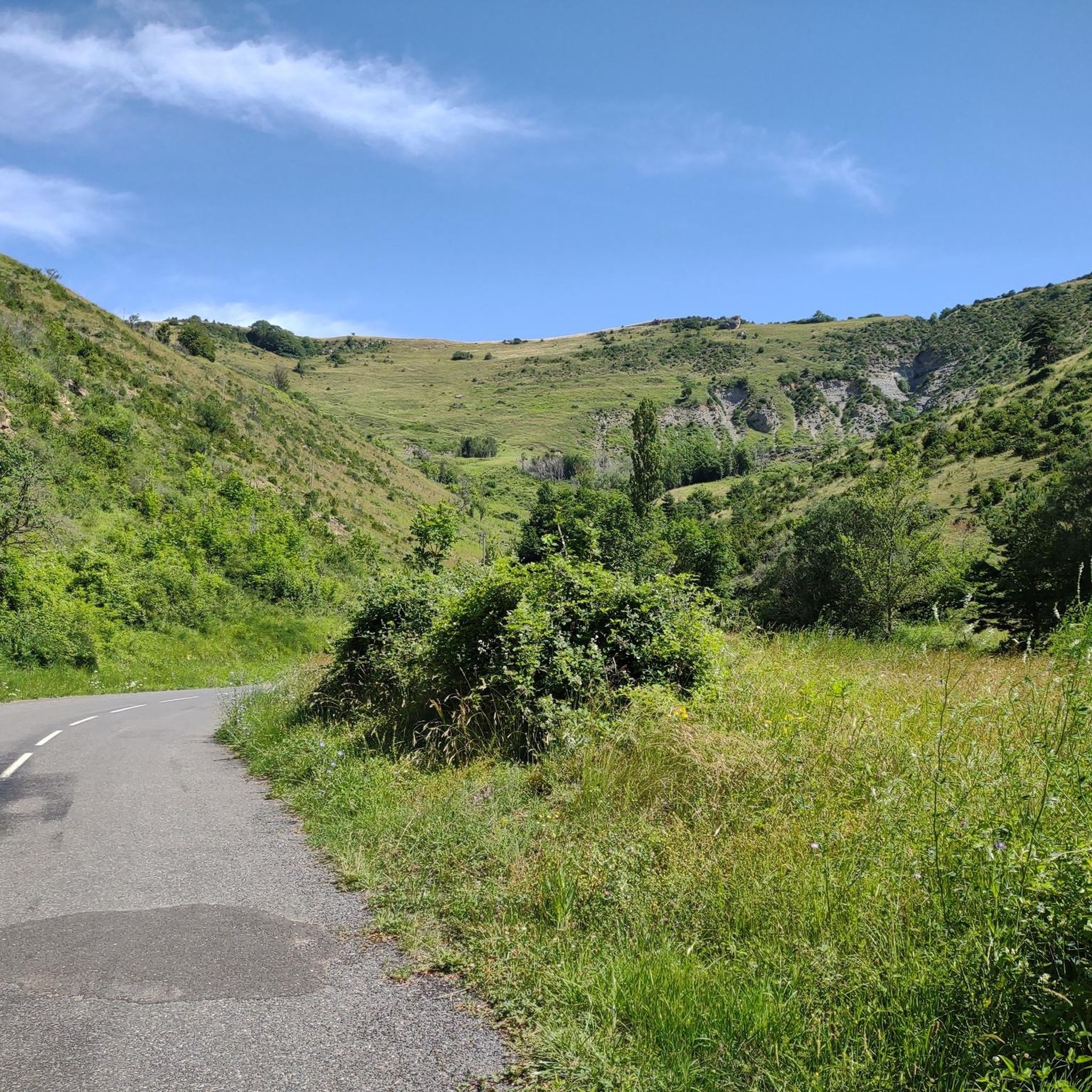
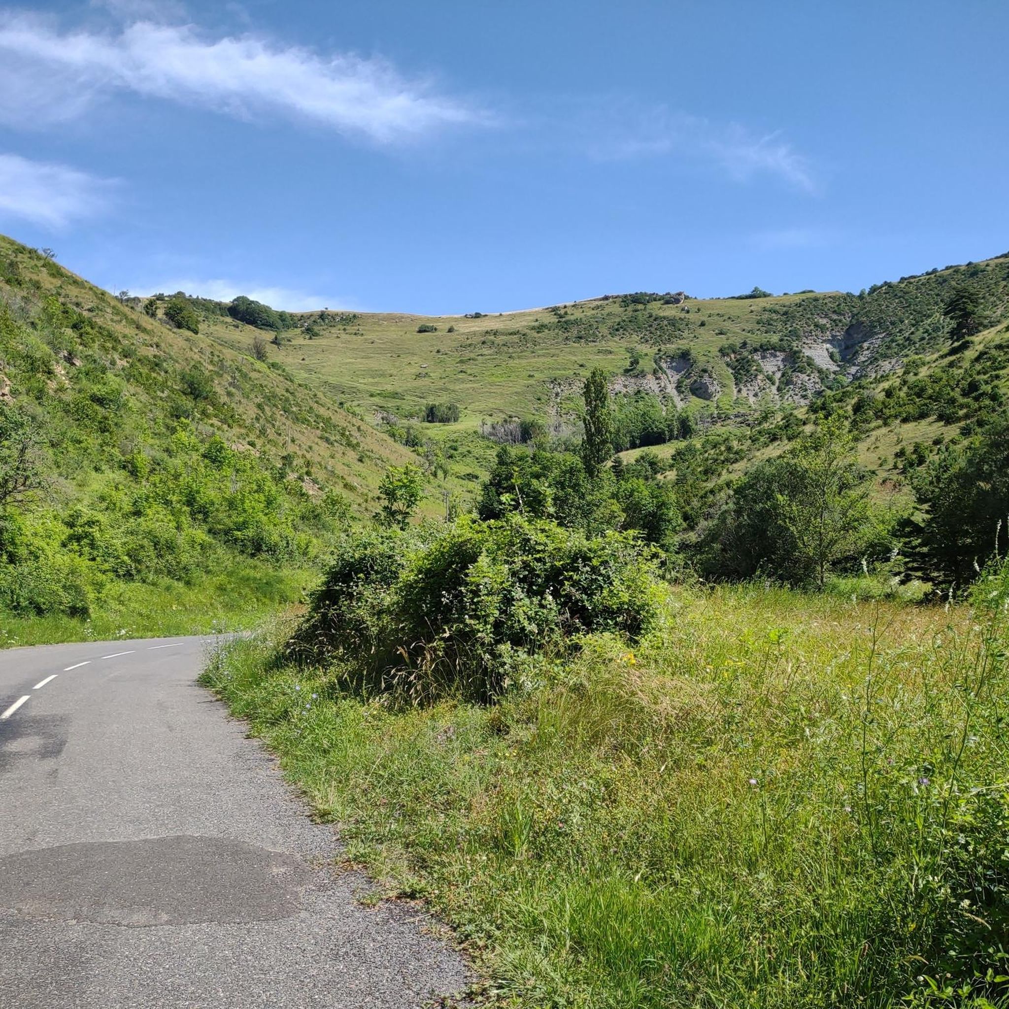
To avoid in hot weather, or bad weather. Be careful of herds during the summer grazing period.
0
0

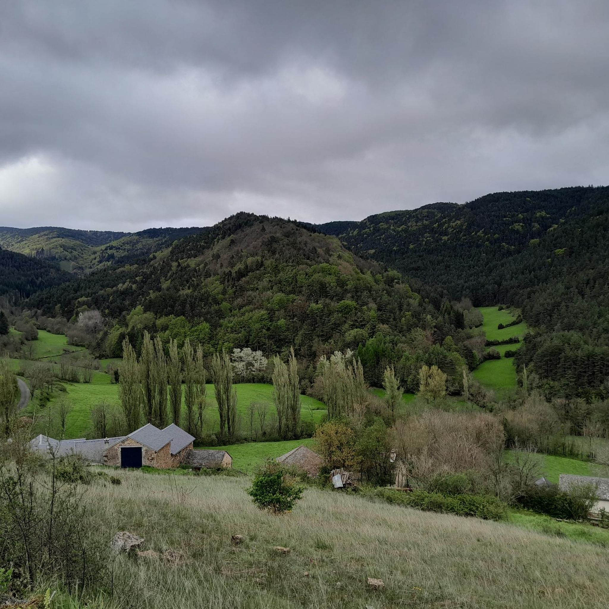
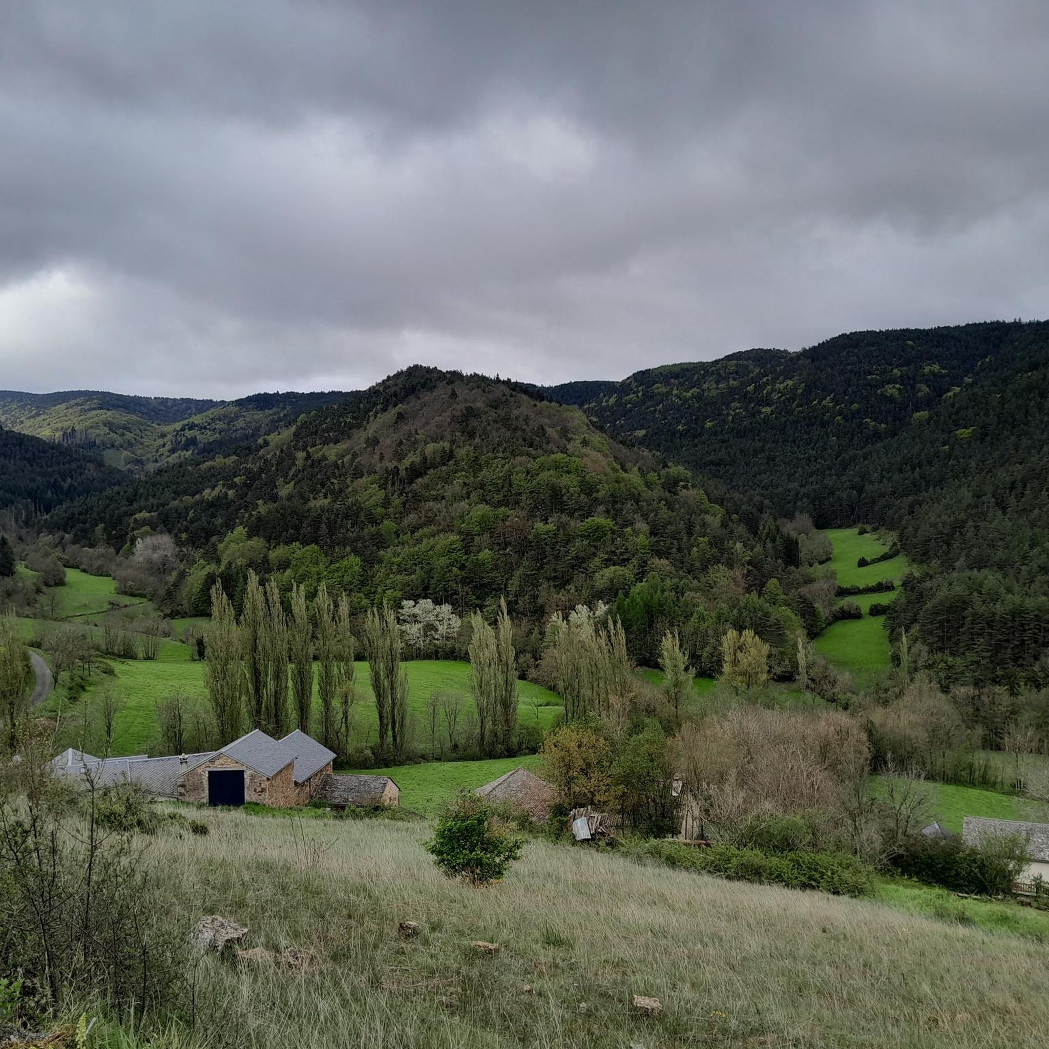
Cabrillac is a typical example of the small hamlets found throughout the Cévennes. These small stone buildings are characteristic of the local architecture.
0
0

Magnificent steppe landscape. Don't miss the chaos of Nîmes-le-Vieux
0
0

Wonderful mountain with a wonderful view. We stayed there on our long-distance hike from Tarifa (Spain) to Switzerland and can highly recommend the camp.
4
0

This menhir attests to the presence of humans 5000 years ago.
1
1

Very nice place to contemplate the surrounding landscapes in favorable weather conditions. Presence of a bar/restaurant and a panoramic table at height.
2
0


Mont Aigoual is the second highest peak in the Cévennes after Mont Lozère. Renowned for its meteorological observatory, it offers breathtaking panoramic views. It’s a popular place for mountain bikers!
2
0
Frequently Asked Questions
How many hiking trails are there in Gatuzières?
There are over 190 hiking routes around Gatuzières, offering a wide range of options for all skill levels. These include 55 easy trails, 103 moderate paths, and 32 more challenging routes.
What is the best time to visit Gatuzières for hiking?
The Cévennes region, where Gatuzières is located, experiences a mountainous climate. Spring and autumn generally offer the most pleasant hiking conditions with milder temperatures and vibrant landscapes. Summer can be warm, especially in the gorges, but also provides opportunities for water activities. Winter hiking is possible but requires appropriate gear for potentially colder and snowier conditions at higher altitudes.
What is the typical terrain and difficulty for hiking in Gatuzières?
Hiking in Gatuzières features diverse terrain, from the dramatic gorges of the Jonte and Tarn rivers to the vast limestone plateaus of Causse Méjean and Causse Noir, and dense pine forests. Altitudes range significantly from 759m to 1562m, meaning trails can vary from easy, relatively flat loops like the Chaos de Nîmes-le-Vieux – Causse Méjean loop to more difficult ascents with considerable elevation gain, such as the April on Mont Aigoual – The Trépaloup menhir loop.
Are there any interesting landmarks or natural features to see while hiking in Gatuzières?
Absolutely. The region is rich in natural wonders. You can explore the breathtaking Gorges de la Jonte and Gorges du Tarn, known for their towering cliffs and unique geological formations. The limestone plateaus of Causse Méjean and Causse Noir offer distinctive landscapes. Notable attractions include the impressive Aven Armand Cave with its stalagmites, and viewpoints like Mont Aigoual, offering panoramic views of the Cévennes.
What do other hikers enjoy most about hiking in Gatuzières?
The hiking routes in Gatuzières are highly rated by the komoot community, with an average score of 4.5 stars from over 800 reviews. Hikers frequently praise the dramatic and diverse landscapes, from the deep gorges to the expansive plateaus and tranquil pine forests. The variety of trails, catering to different abilities, is also a popular aspect.
Are there family-friendly hiking options in Gatuzières?
Yes, Gatuzières offers several easy trails suitable for families. For instance, the Chaos de Nîmes-le-Vieux – Causse Méjean loop from Col de Perjuret is an easy 6.4 km path that explores the unique landscapes of the Causse Méjean plateau, perfect for a family outing.
Can I hike with my dog in Gatuzières?
Many trails in the Gatuzières area are dog-friendly, allowing you to enjoy the natural beauty with your canine companion. However, it's always advisable to keep dogs on a leash, especially in areas with wildlife or near livestock, and to check specific trail regulations or protected areas before you go.
Are there circular hiking routes available in Gatuzières?
Yes, many of the hiking routes around Gatuzières are circular, allowing you to start and end at the same point without retracing your steps. Examples include the Chaos de Nîmes-le-Vieux – Causse Méjean loop and the April on Mont Aigoual – The Trépaloup menhir loop.
Where can I find parking for hiking trails in Gatuzières?
Parking is generally available at common starting points for popular trails and near villages in the Gatuzières region. Specific parking information can often be found on individual route descriptions or local tourist information websites. It's recommended to check the starting point of your chosen trail for designated parking areas.
Is public transport available to reach hiking trails in Gatuzières?
Public transport options to reach specific trailheads directly in Gatuzières can be limited due to its rural, mountainous nature. However, regional bus services connect larger towns in the Lozère department. For more remote starting points, a car is often the most convenient option. It's best to consult local transport schedules for the most up-to-date information.
What kind of wildlife can I expect to see in the Gatuzières region?
The Cévennes, including the Gatuzières area, is a Natura 2000 site, rich in biodiversity. A highlight for many visitors is observing vultures, especially in the Jonte Gorges, where you can often see them soaring. The region is also home to various other bird species, deer, wild boar, and smaller mammals, particularly in the dense forests and along riverbanks.
Are there opportunities for water activities or wild swimming after a hike?
The Jonte river and other smaller watercourses drain the Gatuzières area, offering opportunities for water activities. While specific wild swimming spots may require local knowledge, the region is known for water sports like canoeing and kayaking, particularly in the Gorges de la Jonte and Gorges du Tarn, which can be a refreshing way to cool down after a hike.
Where can I find refreshments or accommodation near the hiking trails?
While Gatuzières itself is a small commune, nearby villages and towns like Meyrueis offer various options for refreshments, cafes, pubs, and accommodation. It's advisable to plan your route and check for amenities in the closest settlements to your chosen trailhead.
Most popular routes around Gatuzières
Most popular attractions around Gatuzières

Get inspired with the komoot mobile app


Explore more
Browse the best Hikes in other regions.
