The best running trails around Saint-Rémy-De-Chargnat
4.3
(40)
2,936
runners
251
runs
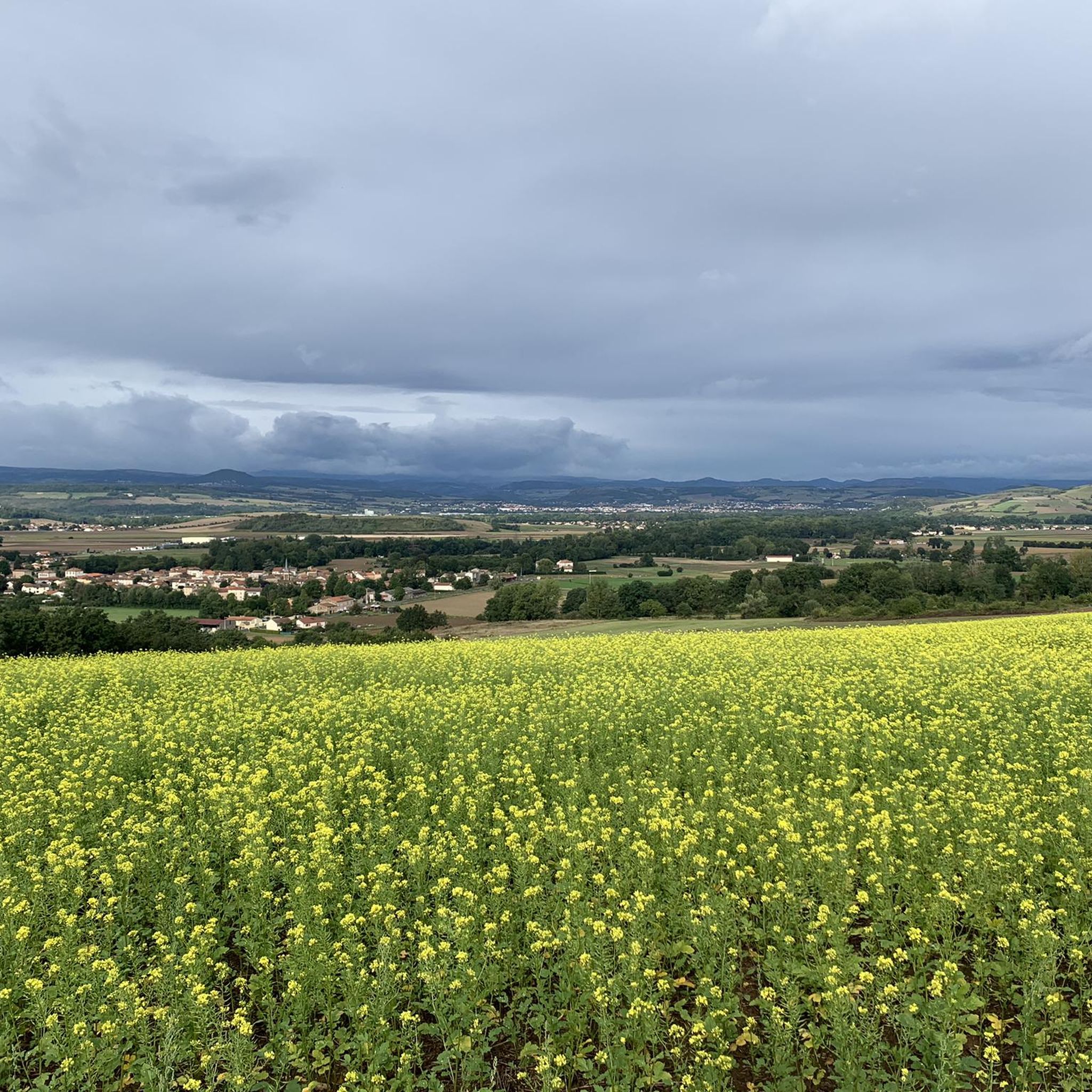
Jogging around Saint-Rémy-De-Chargnat offers a diverse landscape for runners, characterized by its rural and verdant terrain. The area features a mix of agricultural land, meadows, and forests, providing varied running surfaces. The charming Eau Mère river traverses the commune, offering pleasant riverside routes, while nearby volcanic peaks like Usson provide opportunities for ascents and panoramic views. This region, nestled between the Auvergne and Haute-Loire mountains, combines natural beauty with historical elements.
Best jogging routes around Saint-Rémy-De-Chargnat
- The most popular jogging…
Last updated: June 29, 2026
19
runners
10.5km
01:16
240m
240m
Moderate run. Good fitness required. Mostly paved surfaces. Suitable for all skill levels.
3.0
(1)
9
runners
19.7km
02:20
300m
300m
Hard run. Very good fitness required. Mostly paved surfaces. Suitable for all skill levels.

Sign up for free
5
runners
8.29km
00:56
50m
50m
Moderate run. Good fitness required. Mostly paved surfaces. Suitable for all skill levels.
4
runners
8.12km
00:53
40m
40m
Moderate run. Good fitness required. Mostly paved surfaces. Suitable for all skill levels.
4
runners
6.06km
00:39
20m
20m
Moderate run. Good fitness required. Mostly paved surfaces. Suitable for all skill levels.
Get access to more routes and recommendations from other explorers.
Sign up for free
Already have an account?
Our route recommendations are based on thousands of hikes, rides, and runs completed by other people on komoot.
Start today with a free account
Your next adventure awaits.
Login or Signup




Tips from the Community

This section of the Via Allier offers a view of the village of Usson, perched on its volcanic peak. It is one of the "Most Beautiful Villages of France."
0
0

Nonnesette Castle, built on this hill overlooking the Couze Valley, was destroyed by Richelieu in the 17th century. You can still see the remains of the towers, gates, and walls, and enjoy panoramic views of the surrounding countryside.
3
1

Landscaped site, ideal for picnics and peacefully admiring the landscape.
0
0
The village of Usson is dominated by the Saint-Maurice church from which one can also access the summit and the Virgin of Usson to enjoy a spectacular view.
1
0
The basaltic organs of Usson, whose base can be approached, form the promontory of the Virgin of Usson.
0
0

A worthwhile place! Small, quiet. Neat slope for cyclists. Castle ruins can be seen at the top of the hill. Great view.
1
0
Frequently Asked Questions
How many running routes are available around Saint-Rémy-De-Chargnat?
There are over 240 running routes in and around Saint-Rémy-De-Chargnat, offering a wide variety of options for all skill levels. These include 14 easy routes, 166 moderate routes, and 64 challenging trails.
What kind of terrain can I expect on the jogging trails in this region?
The jogging trails in Saint-Rémy-De-Chargnat offer a diverse mix of terrain. You'll find routes through rolling agricultural lands, verdant meadows, dense forests, and along the charming Eau Mère river. There are also opportunities for ascents to volcanic peaks, providing varied running surfaces and environments.
Are there any easy running routes suitable for beginners or families?
Yes, Saint-Rémy-De-Chargnat offers 14 easy running routes. These trails are generally flatter and shorter, perfect for beginners or a relaxed family outing. An example of a moderate route that is relatively flat is the Running loop from Parentignat, which is 6.1 km long with minimal elevation gain.
Where can I find challenging running trails with significant elevation gain?
For a more challenging run, consider routes that ascend the local volcanic peaks. The region has 64 difficult routes. A notable option is Château Nonette loop from Varennes-sur-Usson, a difficult 19.8 km path with over 300 meters of elevation gain, exploring the rural landscape around the historic Château Nonette.
Are there any circular running routes in Saint-Rémy-De-Chargnat?
Many of the running routes in the area are circular, allowing you to start and finish at the same point. For instance, the popular The Usson peak - circuit trail - Livradois-Forez Natural Regional Park is a 10.5 km loop that takes you to the Pic d'Usson.
What are the best seasons for running in Saint-Rémy-De-Chargnat?
Saint-Rémy-De-Chargnat is beautiful for running throughout much of the year. Spring and autumn offer pleasant temperatures and vibrant scenery, while summer provides lush, green landscapes and shaded forest paths. The region's 'little Tuscany of Auvergne' charm is particularly evident in these seasons.
What do other runners say about the trails in Saint-Rémy-De-Chargnat?
The running routes in Saint-Rémy-De-Chargnat are highly rated by the komoot community, with an average score of 4.4 stars from over 30 reviews. Runners often praise the diverse landscapes, from riverside paths to panoramic volcanic views, and the well-maintained trails that cater to various fitness levels.
Are there any scenic viewpoints or landmarks to see while running?
Absolutely! Many routes offer stunning views. The ascent to the Pic d'Usson, for example, rewards with a 360° panoramic view of the Chaîne des Puys, the Sancy massif, and the Livradois-Forez mountains. You can also pass by historical sites like the Château de Parentignat, sometimes called 'The little Versailles of Auvergne', or the picturesque Village of Usson.
Can I bring my dog on the running trails?
While specific regulations can vary by trail, many outdoor areas in the Saint-Rémy-De-Chargnat region, especially those through agricultural lands and forests, are generally dog-friendly. It's always recommended to keep your dog on a leash and clean up after them to respect local wildlife and other trail users.
Are there any routes that pass by historical castles or heritage sites?
Yes, the region is rich in history. You can run past the scenic surroundings of the Château de Parentignat on the Château de Parentignat loop from Parentignat. Other routes might take you near the Château de la Vernède or the Château de Pasredon, offering glimpses into the area's past.
What is the longest running route available in the area?
Among the listed routes, the Château Nonette loop from Varennes-sur-Usson is a challenging 19.8 km (12.3 miles) path, making it one of the longer options for those seeking an extended run.
Are there any running routes near natural parks?
Saint-Rémy-De-Chargnat is ideally located near significant natural parks. The The Usson peak - circuit trail - Livradois-Forez Natural Regional Park is within the Livradois-Forez Regional Natural Park, which is about 23km away. The Auvergne Volcanoes Regional Natural Park is also within reach, offering extensive trail networks for more rugged exploration.
Most popular routes around Saint-Rémy-De-Chargnat
Most popular attractions around Saint-Rémy-De-Chargnat

Get inspired with the komoot mobile app


Explore more
Browse the best Running Trails & Routes in other regions.
