The best walks and hikes around Saint-Rémy-De-Chargnat
4.6
(171)
1,217
hikers
117
hikes
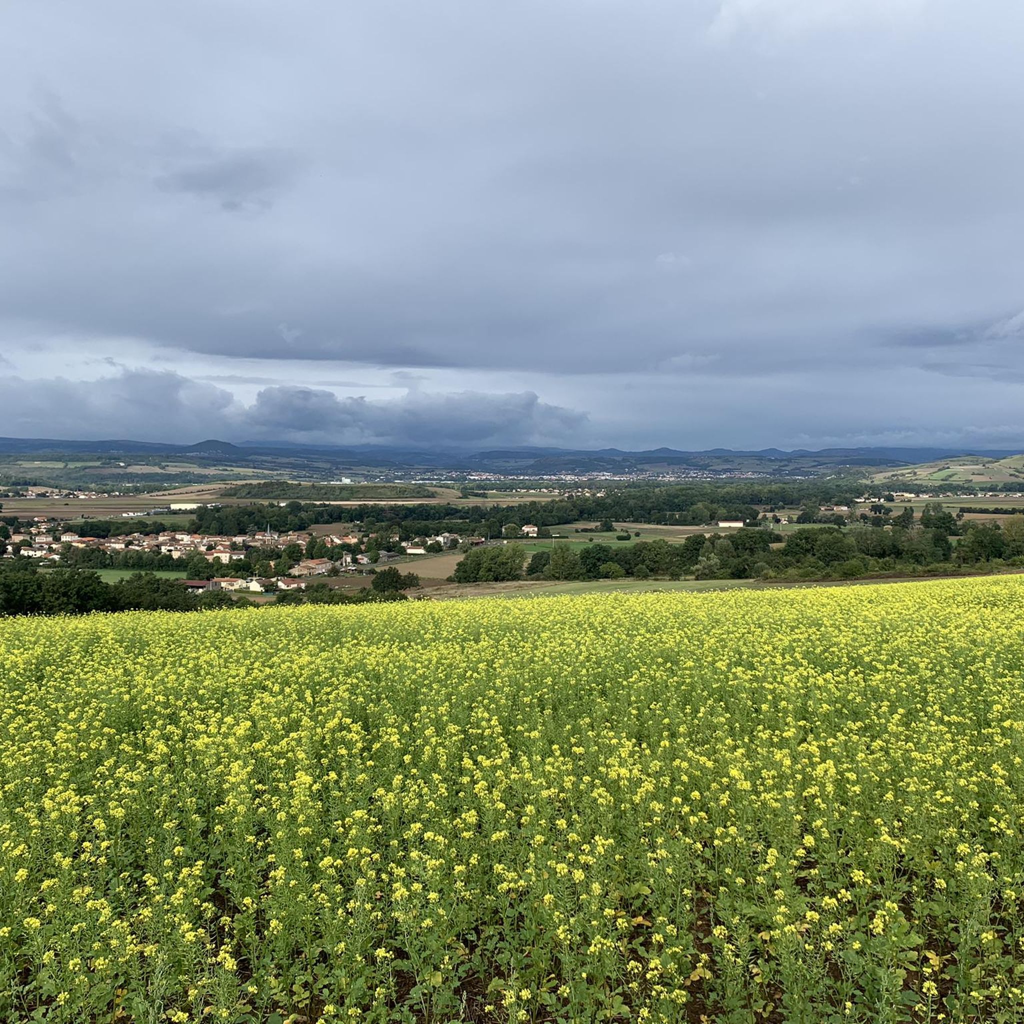
Hiking trails around Saint-Rémy-De-Chargnat offer diverse landscapes in the Puy-de-Dôme department of the Auvergne-Rhône-Alpes region. The area features a rural and verdant character with agricultural lands, meadows, and forests, traversed by the Eau Mère river. Its volcanic heritage is evident with proximity to the Auvergne volcanoes and the Limagne Fault, providing unique terrain with craters and forests. Elevations range from 378m to 479m, contributing to varied hiking experiences.
Best hiking trails around Saint-Rémy-De-Chargnat
- The most popular hiking route is The…
Last updated: June 29, 2026
4.8
(15)
84
hikers
Moderate hike. Good fitness required. Easily-accessible paths. Suitable for all skill levels.
5.0
(4)
11
hikers
5.33km
01:39
200m
200m
Easy hike. Great for any fitness level. Easily-accessible paths. Suitable for all skill levels.

Sign up for free
5.0
(1)
9
hikers
9.74km
02:52
280m
280m
Moderate hike. Good fitness required. Easily-accessible paths. Suitable for all skill levels.
4.0
(3)
6
hikers
8.18km
02:21
200m
200m
Moderate hike. Good fitness required. Easily-accessible paths. Suitable for all skill levels.
4.0
(2)
4
hikers
4.84km
01:14
10m
10m
Easy hike. Great for any fitness level. Easily-accessible paths. Suitable for all skill levels.
Get access to more routes and recommendations from other explorers.
Sign up for free
Already have an account?
Our route recommendations are based on thousands of hikes, rides, and runs completed by other people on komoot.
Start today with a free account
Your next adventure awaits.
Login or Signup




Tips from the Community

Former ramparts converted into a green space overlooking the surrounding area
0
0

You can stop at the village bakery
0
0

Wear sturdy footwear and bring plenty of water and food. There are no restaurants or cafes nearby.
0
0
Come and see the little Versailles Auvergne with its magnificent library and its park
1
0

Usson is a beautiful village perched on a volcanic peak facing the Chaîne des Puys, the Monts Dore, and the Cézallier Plateau. It was once the site of a castle where Queen Margot was exiled for 19 years. If you're looking for a sightseeing and historical stop, Usson offers breathtaking views of the surrounding landscape, and you can visit the Saint-Maurice church, the remains of the ramparts, and the statue of the Virgin Mary overlooking the village.
2
0

Perched on a volcanic peak, the place of exile of Queen Margot for 19 years, the village of Usson is one of the Most Beautiful Villages in France.
0
0
You may have a photo book in English for during the tour.
0
0

The climb to the Pic d'Usson is 2.2 km long with a total drop of about 170 m. The average gradient is 7-8% with steeper sections of 12%.
1
0
Frequently Asked Questions
How many hiking trails are available in Saint-Rémy-De-Chargnat?
There are over 110 hiking routes available around Saint-Rémy-De-Chargnat. These include a variety of options, with 32 easy routes, 76 moderate routes, and 10 difficult routes, catering to different fitness levels.
What kind of terrain can I expect on hikes around Saint-Rémy-De-Chargnat?
The terrain around Saint-Rémy-De-Chargnat is diverse, characterized by its volcanic heritage, proximity to the Auvergne volcanoes, and the Limagne Fault. You'll encounter landscapes featuring craters, forests, agricultural lands, and meadows, often traversed by the scenic Eau Mère river. Elevations range from 378m to 479m, offering varied experiences.
Are there easy hiking options suitable for beginners or casual walkers?
Yes, Saint-Rémy-De-Chargnat offers 32 easy hiking routes. An example is the Northern ramparts – Saint-Maurice Church loop from Saint-Jean-en-Val, an easy 3.3-mile (5.4 km) path that explores historic sites and offers scenic views.
Are there more challenging hikes for experienced trekkers?
While most routes are easy to moderate, there are 10 difficult routes for experienced trekkers. The region's volcanic landscape and varied elevations provide opportunities for more strenuous climbs and longer distances.
Can I find circular hiking routes in the area?
Yes, many routes in the area are circular. For instance, the popular The Usson peak - loop starting from Saint-Remy-de-Chargnat is a 6.6-mile (10.6 km) moderate circular trail offering views of the Usson peak and the Livradois-Forez Regional Natural Park.
What interesting landmarks or natural features can I see while hiking?
Hikers can discover several notable landmarks. The historic Village of Usson, perched on a volcanic peak, offers magnificent panoramic views. You might also encounter the Saint-Maurice Church, which dominates Usson, or the historic View of the old suspension bridge of Parentignat, an interesting historical landmark over the Allier river.
Are the hiking trails around Saint-Rémy-De-Chargnat suitable for families with children?
Yes, with 32 easy routes, many trails are suitable for families. These paths often lead through gentle landscapes of meadows and forests, and some pass through charming villages, providing engaging experiences for children. Consider routes with less elevation gain for younger hikers.
Are dogs allowed on the hiking trails in Saint-Rémy-De-Chargnat?
Generally, dogs are welcome on many hiking trails in rural areas like Saint-Rémy-De-Chargnat, especially if kept on a leash. However, it's always advisable to check local signage for any specific restrictions, particularly in nature reserves or protected areas, and to ensure your dog is well-behaved around wildlife and other hikers.
What do other hikers say about the trails in Saint-Rémy-De-Chargnat?
The trails in Saint-Rémy-De-Chargnat are highly regarded by the komoot community, with an average rating of 4.6 stars from over 150 reviews. More than 1,100 hikers have explored the area, often praising the varied terrain, the scenic views of the volcanic landscape, and the charming rural atmosphere.
What is the best time of year to go hiking in Saint-Rémy-De-Chargnat?
The best time for hiking in Saint-Rémy-De-Chargnat is typically during the spring, summer, and early autumn months. During these seasons, the weather is generally mild and pleasant, making it ideal for exploring the diverse landscapes, from verdant meadows to volcanic features. Autumn also offers beautiful foliage.
Is parking available near the trailheads in Saint-Rémy-De-Chargnat?
Parking is generally available in or near the villages and starting points of many trails in Saint-Rémy-De-Chargnat. As it's a rural area, you can often find designated parking spots or roadside parking in proximity to popular trailheads. It's always a good idea to plan your route and check for parking options beforehand.
Can I reach hiking trails in Saint-Rémy-De-Chargnat using public transport?
While Saint-Rémy-De-Chargnat is a rural commune, local bus services might connect it to larger towns in the Puy-de-Dôme department. However, direct public transport access to specific trailheads can be limited. It's recommended to check regional transport schedules in advance or consider driving to access a wider range of hiking options.
Most popular routes around Saint-Rémy-De-Chargnat
Most popular attractions around Saint-Rémy-De-Chargnat

Get inspired with the komoot mobile app


Explore more
Browse the best Hikes in other regions.
