The best road cycling routes around Utelle
4.7
(193)
8,329
riders
95
rides
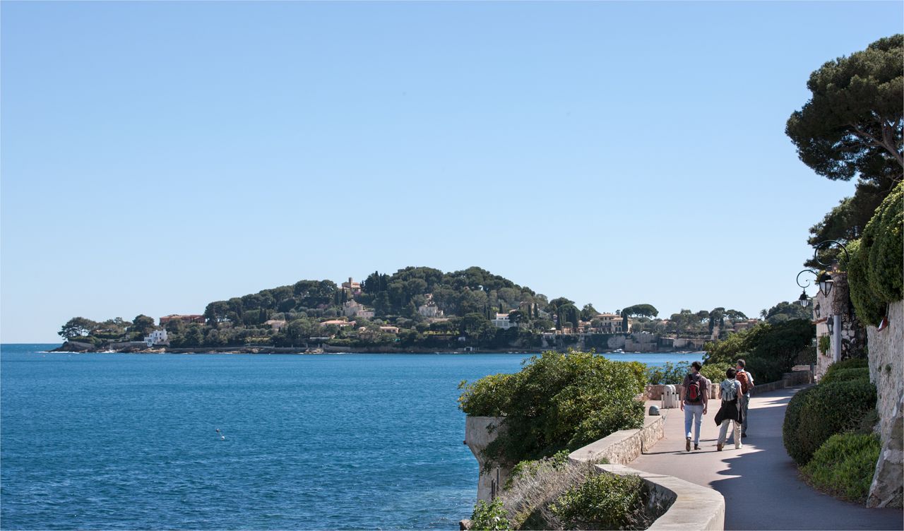
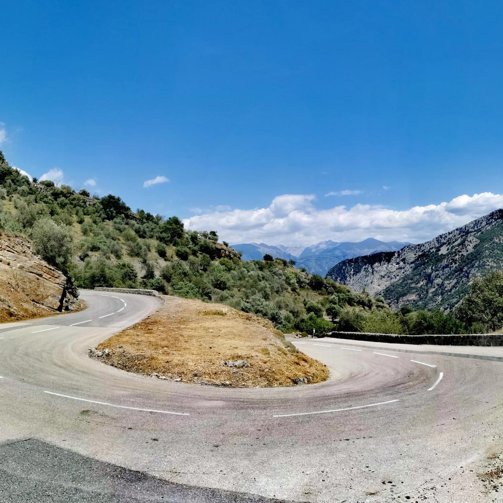
Road cycling routes around Utelle are situated in the Alpes-Maritimes department, where the southern French Alps meet the Mediterranean. The terrain is characterized by rugged mountains, deep valleys like the Gorges de la Vésubie, and extensive olive groves. Cyclists navigate winding, well-maintained roads with consistent gradients, offering diverse landscapes from alpine influences to Mediterranean vistas. The region provides a challenging environment for road cyclists, with significant elevation changes and panoramic views of the Haute Vésubie peaks.
Best road cycling routes…
Last updated: July 13, 2026
4.9
(8)
386
riders
90.6km
04:34
1,450m
1,450m
Hard road ride. Very good fitness required. Mostly well-paved surfaces and easy to ride.
46
riders
149km
09:04
4,040m
4,040m
Hard road ride. Very good fitness required. Mostly well-paved surfaces and easy to ride.

Sign up for free
26
riders
32.4km
01:52
780m
780m
Moderate road ride. Good fitness required. Mostly well-paved surfaces and easy to ride.
5.0
(1)
24
riders
23.3km
01:19
510m
510m
Moderate road ride. Good fitness required. Mostly well-paved surfaces and easy to ride.
11
riders
90.3km
06:46
2,820m
2,820m
Hard road ride. Very good fitness required. Some segments of this route may be unpaved and difficult to ride.
Get access to more routes and recommendations from other explorers.
Sign up for free
Already have an account?
Our route recommendations are based on thousands of hikes, rides, and runs completed by other people on komoot.
Start today with a free account
Your next adventure awaits.
Login or Signup




Tips from the Community

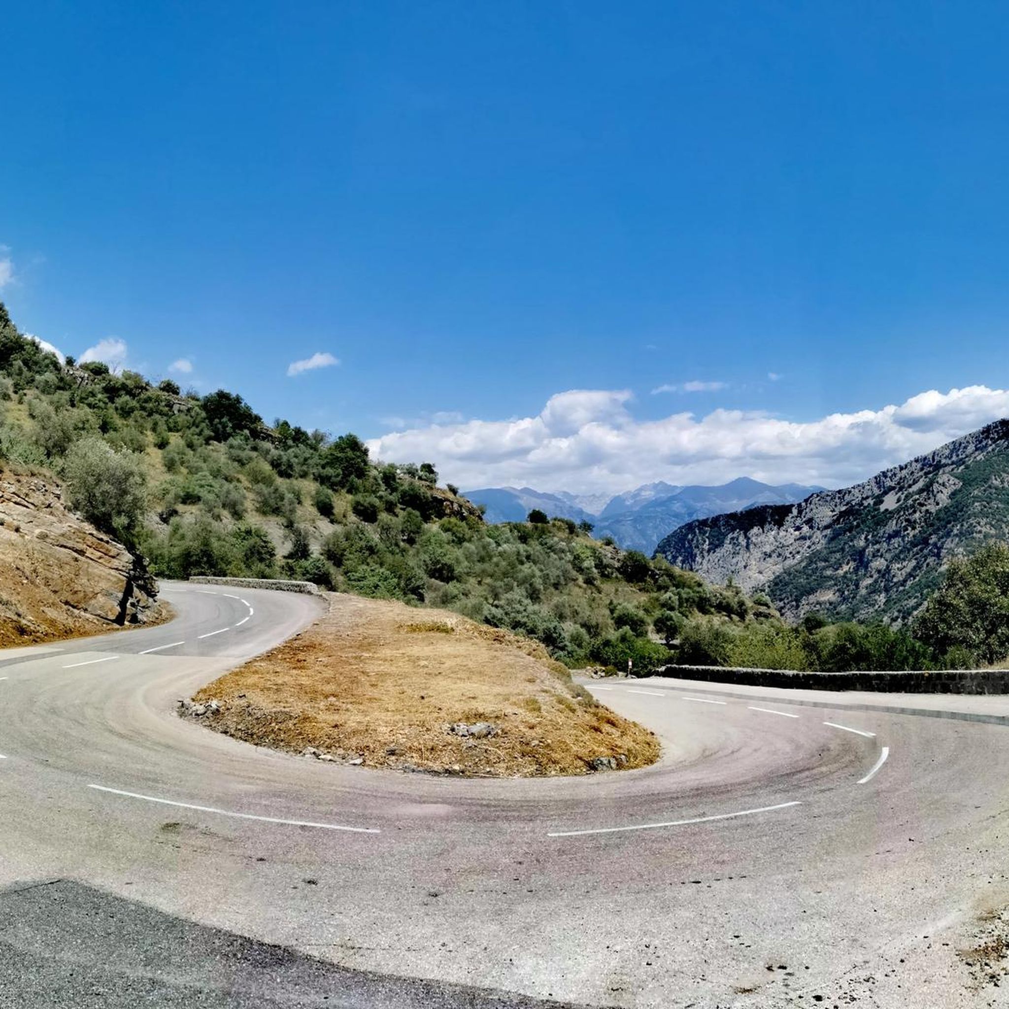
The Col de la Couillole is a mountain pass in the Massif du Mercantour-Argentera of the French Alps, situated at an altitude of 1,678 m (5,505 ft) in the Alpes-Maritimes department, France. The road connection is open for six to seven months of the year, allowing travel between the Cians gorges in the west and the Tinée valley in the east.
0
0
The Col de la Couillole is a mountain pass in the Massif du Mercantour-Argentera of the French Alps, situated at an altitude of 1,678 m (5,505 ft) in the Alpes-Maritimes department, France. The road connection is open for six to seven months of the year, allowing travel between the Cians gorges in the west and the Tinée valley in the east.
0
0
The Col Saint-Martin Pass, or Col de la Colmiane, is a mountain pass in the Southern Alps located at an altitude of 1,500 meters in the Alpes-Maritimes department of France. It provides a year-round road link between the Tinée Valley to the west and the Vésubie Valley to the east.
0
0
Col Saint Martin (el. 1500 m.) is a high mountain pass in the Alps in the department of Alpes-Maritimes in France.[1] It is traversed by the D-2205 highway.[2] The place has been crossed at the Tour de France road cycling race in 1973, 1975 and 2020, as well as at multiple editions of the Paris-Nice.
0
0

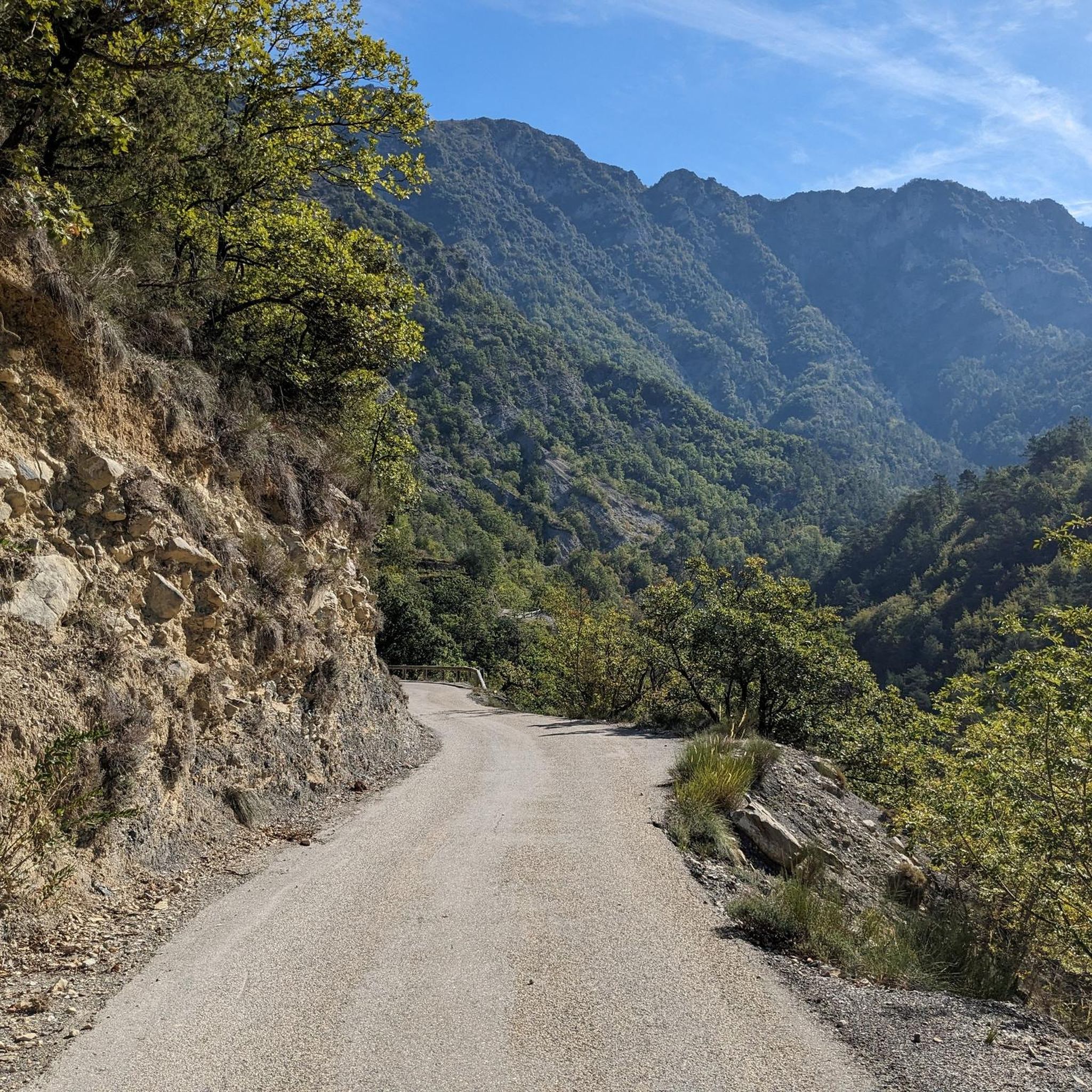
1m passage through the curb to access the Estéron road at its start, which is closed to cars at this point.
1
0

one of the most beautiful roads in the area
1
0

Preferably go down the Var in the morning because of the thermal of the valley
0
0

small, pleasant and peaceful place where you can fill up with water before starting the climb towards the Madone d'Utelle.
1
0
Frequently Asked Questions
How many road cycling routes are available around Utelle?
There are over 100 road cycling routes around Utelle, catering to various skill levels. You'll find a wide selection, from moderate loops to challenging long-distance ascents through the mountainous terrain.
What is the typical terrain like for road cycling in Utelle?
The terrain around Utelle is characterized by rugged mountains, deep valleys like the Gorges de la Vésubie, and extensive olive groves. Cyclists will encounter winding, well-maintained roads with consistent gradients, offering diverse landscapes from alpine influences to Mediterranean vistas. Expect significant elevation changes and panoramic views of the Haute Vésubie peaks.
What are the difficulty levels of road cycling routes in Utelle?
Utelle offers a range of difficulties. While there are a few easy routes, the majority are either moderate (around 36 routes) or difficult (over 60 routes), featuring significant elevation gains and challenging ascents over mountain passes. For instance, the Col de la Colmiane – The start of Col Saint-Martin loop from Utelle is a difficult, long-distance option.
When is the best time of year for road cycling in Utelle?
The region's climate, where the southern French Alps meet the Mediterranean, generally allows for cycling through much of the year. Spring and autumn offer pleasant temperatures and vibrant scenery, ideal for tackling the climbs. Summer can be warm, so early morning rides are recommended. Winter cycling is possible, especially on lower elevation routes, but higher mountain passes may be affected by snow or colder conditions.
Are there any long-distance road cycling routes from Utelle?
Yes, Utelle is a great starting point for long-distance road cycling. A notable challenging route is the Col de la Colmiane – The start of Col Saint-Martin loop from Utelle, which covers nearly 150 km and includes extensive climbs over mountain passes, offering breathtaking views.
Are there any circular road cycling routes in the Utelle area?
Many of the road cycling routes around Utelle are designed as loops, allowing you to start and finish in the same location. For example, the Ferres Pass – Le Broc loop from Plan-du-Var is a popular difficult loop, and the La Roquette-sur-Var loop from Le Tunnel offers a moderate option.
What natural features or viewpoints can I expect to see while cycling around Utelle?
Utelle's dramatic setting offers numerous natural features and viewpoints. You can expect panoramic views of the majestic peaks of the Haute Vésubie and the deep Gorges de la Vésubie. Other notable sights include Mont Vial and the Collet Cotignol viewpoint, which provide expansive vistas of the surrounding mountains and, on clear days, even a glimpse of the distant sea.
Are there any interesting landmarks around Utelle to explore?
Beyond the natural beauty, Utelle itself is a charming medieval village with historical landmarks. The iconic Sanctuaire de la Madone d'Utelle is a significant chapel and pilgrimage site offering expansive panoramas. The historic Church of Saint-Véran, with its Romanesque and Baroque styles, and other chapels like Sainte Croix and San Sebastián, add to the village's architectural appeal. You might also spot unique trompe-l'oeil facades and sundials.
What do other road cyclists enjoy most about road cycling in Utelle?
The road cycling routes around Utelle are highly rated by the komoot community, with an average score of 4.6 stars from over 160 reviews. Cyclists frequently praise the challenging ascents, the diverse and stunning landscapes where the Alps meet the Mediterranean, and the breathtaking panoramic views from mountain passes and viewpoints. The well-maintained, winding roads through olive groves are also a highlight.
Are there any beginner-friendly road cycling routes in Utelle?
While Utelle is known for its challenging terrain, there are a few routes suitable for beginners or those looking for a less strenuous ride. These routes typically feature shorter distances and less elevation gain, allowing you to enjoy the scenery without excessive difficulty. For example, the Totor rides his bike! – Ascent to Bonson loop from Bonson is a moderate option that takes you through the Nice countryside.
Is there public transport or parking available for cyclists in Utelle?
Utelle is accessible by road, and parking is generally available within or near the village, though it might be limited in peak season. For public transport, regional bus services connect Utelle with larger towns in the Alpes-Maritimes department, which can be useful for reaching starting points or returning from longer rides. It's advisable to check local bus schedules and bike transport policies in advance.
Can I find cafes or accommodation in Utelle for a cycling trip?
Yes, the village of Utelle offers amenities for visitors. You can find local cafes to refuel and enjoy a break. There are also accommodation options, including guesthouses or small hotels, which can serve as a comfortable base for exploring the region's cycling routes. For more information on local services, you can visit the official tourism website for the Côte d'Azur region.
Most popular attractions around Utelle

Get inspired with the komoot mobile app


Explore more
Browse the best Road cycling routes in other regions.
