Top 4 Mountain Passes around Saint-Apollinaire
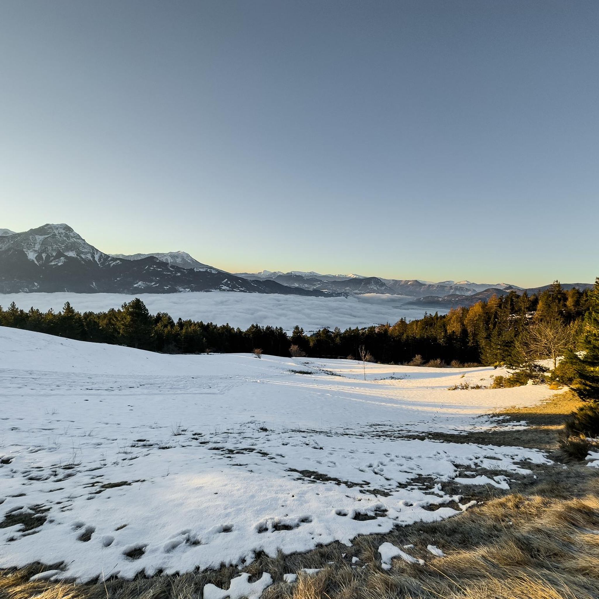
Best mountain passes around Saint-Apollinaire are found in the Hautes-Alpes department of southeastern France, a region characterized by its mountainous terrain and alpine scenery. Elevations in the area range from 858 to 2,120 meters. This area provides opportunities for cycling, hiking, and experiencing panoramic views.
Best mountain passes around Saint-Apollinaire
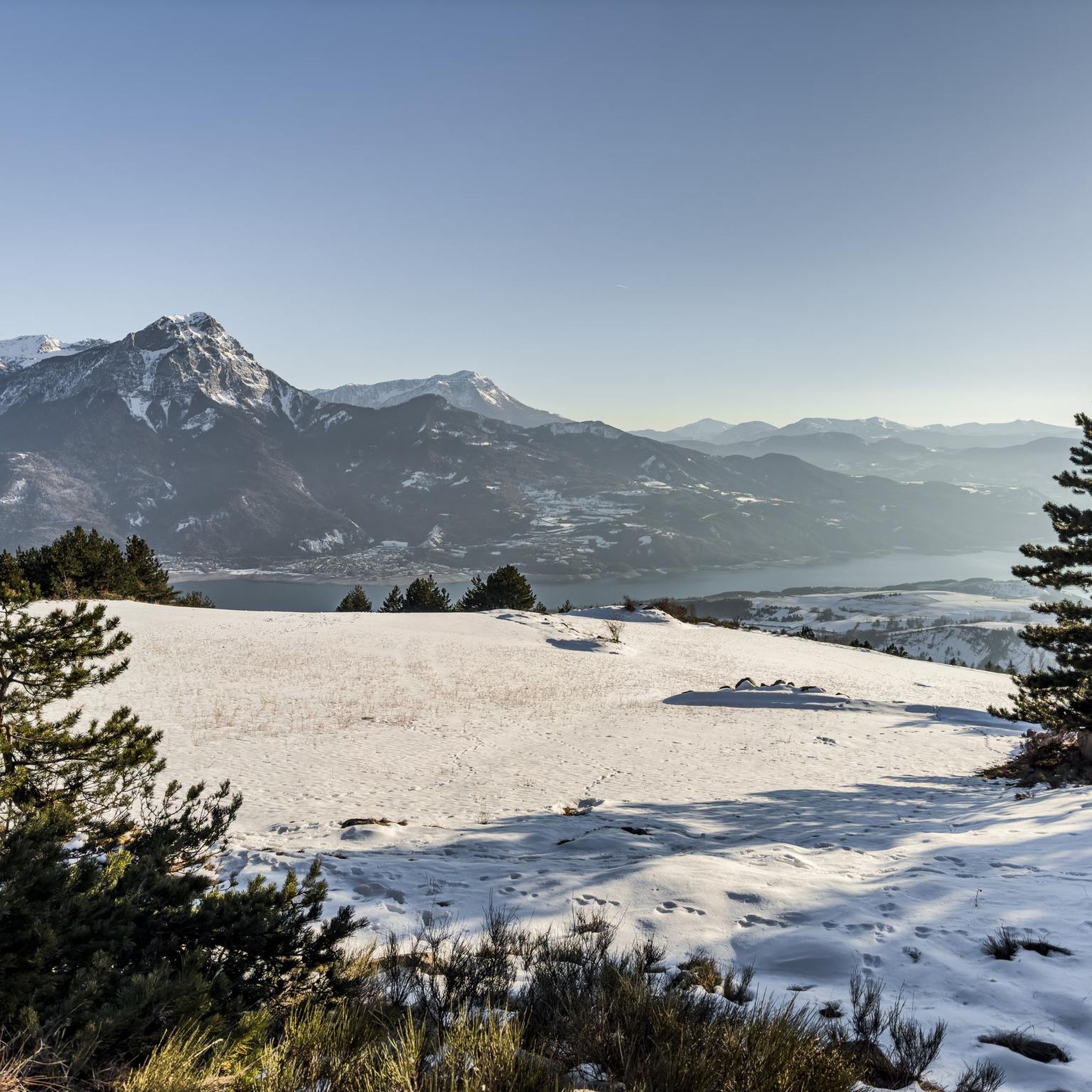
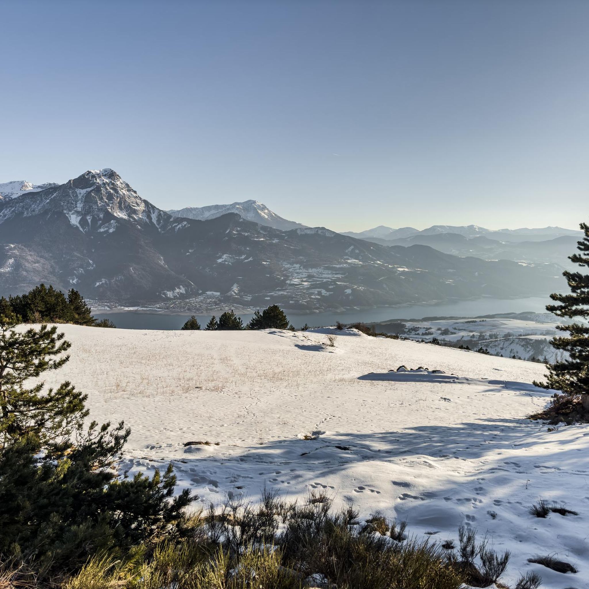
- The most popular mountain pass is Col de Pontis, a mountain pass that is a challenging climb, particularly from the south side, offering views of Lac de Serre-Ponçon. The…
Last updated: July 10, 2026
Col de Pontis
Highlight • Mountain Pass
Translated by Google •
Tip by

Lebraut Pass
Highlight • Mountain Pass
The climb is in two parts with a short one kilometer descent in the middle which …
Translated by Google •
Tip by

Sign up now to discover places like this
Get recommendations on the best single tracks, peaks, & plenty of other exciting outdoor places.
Sign up for free
Col de Moissière (1573 m)
Highlight • Mountain Pass
Translated by Google •
Tip by

Junction to Col de Pontis
Highlight • Mountain Pass
Translated by Google •
Tip by
Gardette Pass
Highlight • Mountain Pass
Flowering …
Translated by Google •
Tip by

Sign up for free to discover even more mountain passes around Saint-Apollinaire.
Sign up for free
Already have an account?
Start today with a free account
Your next adventure awaits.
Login or Signup

Tips from the Community

Col de Pontis is a climb located in the Serre Ponçon region. This climb is 5.2 kilometers long, with a positive elevation gain of 507 meters. Col de Pontis has an average gradient of 9.7%. With this gradient, the climb has 521 difficulty points. The highest point is at an altitude of 1,299 meters.
0
0


It is a very complicated climb with asphalt not in good condition. The views are stunning.
19
0
The climb is very demanding, you have to pay attention to the asphalt which is not in good condition on both sides. The view of the lake is magnificent.
17
0
The climb has steep sections and stretches that make you breathe, at the top a fabulous panorama awaits you. Little traffic.
19
0

Connecting the Gapençais and the Durance valley, the Lebraut pass is a magnificent viewpoint over the Serre-Ponçon lake. Small roads that are as discreet as they are panoramic provide access to the heart of resplendent nature.
0
0

The Col de la Gardette (2125m). A tough and beautiful climb from Chorges towards a bucolic pass where green mountain pastures stretch as far as the eye can see. Flowering mountain pastures are visible along the climb, while Lake Serre-Ponçon stretches along the mountainsides. At the top, the Réallon valley is also revealed when the sun shines on it.
1
0

Pleasant course with little traffic when I did it 👍
1
0
Frequently Asked Questions
What makes the mountain passes around Saint-Apollinaire popular among outdoor enthusiasts?
The mountain passes in the Hautes-Alpes department, near Saint-Apollinaire, are highly regarded for their challenging climbs, stunning panoramic views, and diverse alpine scenery. They offer opportunities for cycling, hiking, and enjoying vistas over areas like Lac de Serre-Ponçon and the Durance Valley. Passes like Col de Pontis are particularly known for their beauty and demanding ascents.
What are some of the most challenging mountain passes for cyclists in the area?
Several passes offer significant challenges for cyclists. The Col de Pontis, especially from the south side, is a tough climb spanning 5.3 kilometers with an average gradient of 9.6%. Similarly, the Col de Moissière (1573 m) features steep sections with gradients reaching 14.6% over its 9.5-kilometer length. The Junction to Col de Pontis also presents a very complicated climb with an average gradient of 9.7%.
What kind of natural features and views can I expect to see from these mountain passes?
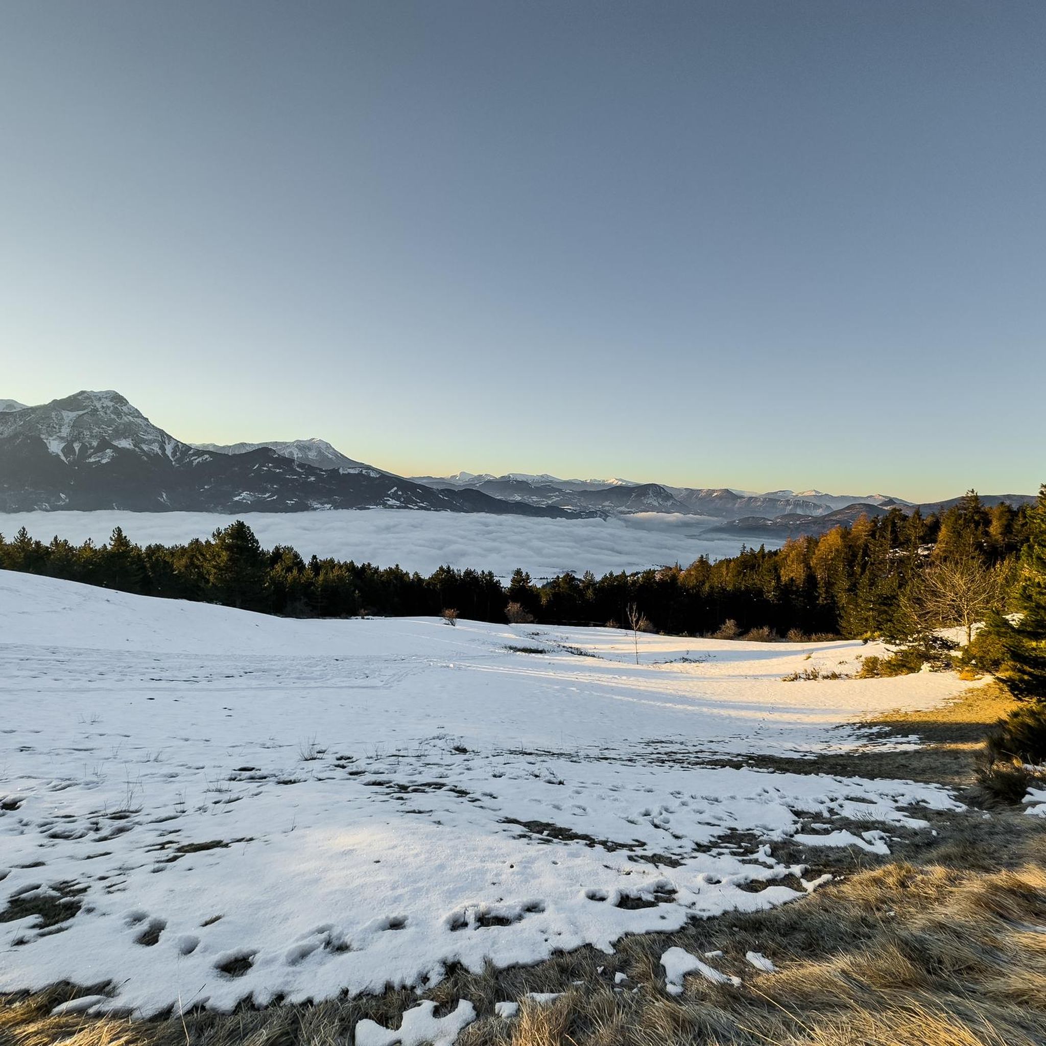
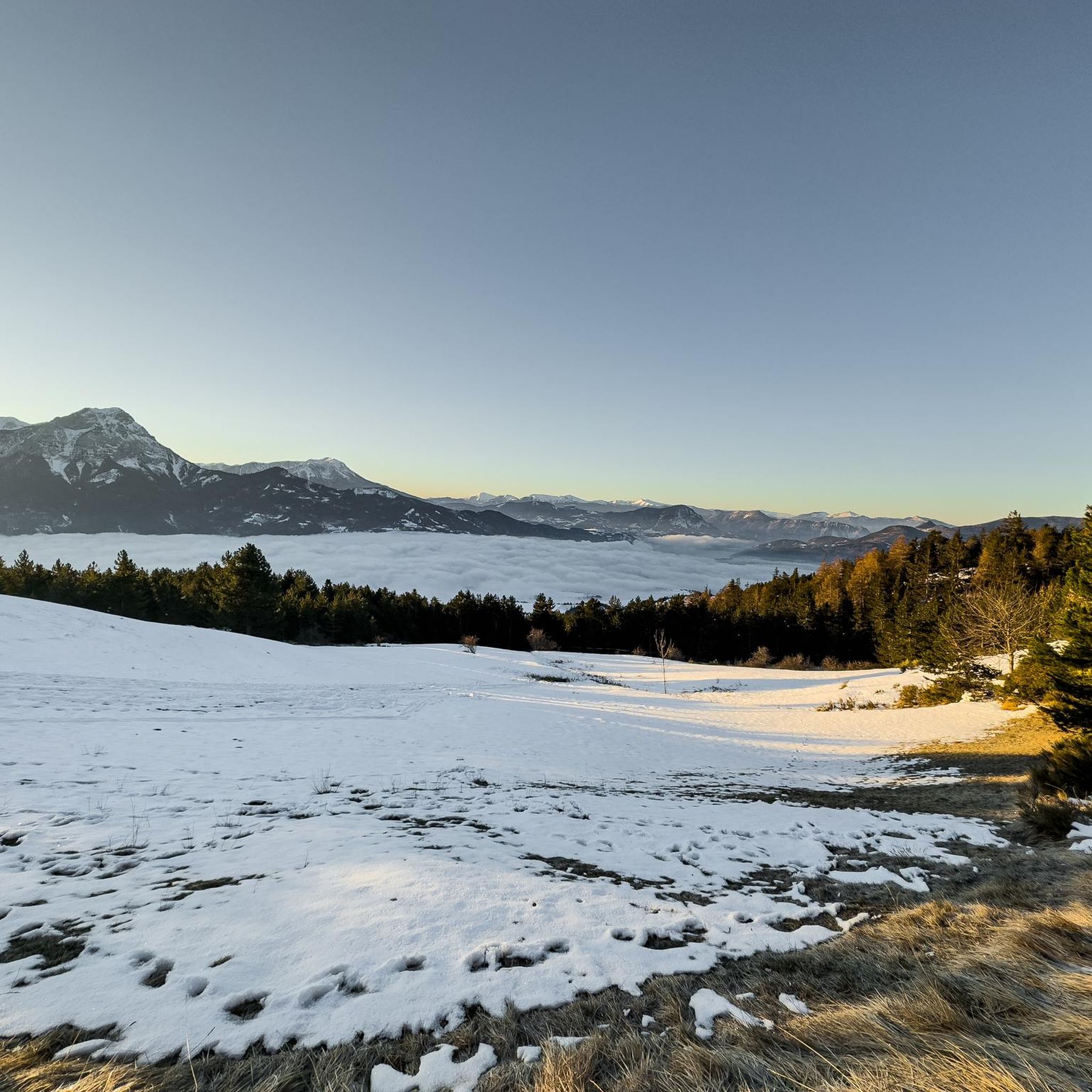
From the mountain passes around Saint-Apollinaire, you can expect magnificent panoramas. Many passes, such as Col de Pontis and Lebraut Pass, offer stunning views of the Lac de Serre-Ponçon. You'll also see impressive peaks, forests of deciduous trees, larches, and firs, and the Durance Valley. The Gardette Pass, for instance, provides views of flowering mountain pastures and the Réallon valley.
Are there specific mountain passes known for their scenic viewpoints?
Yes, many passes are celebrated for their viewpoints. The Col de Pontis offers new vistas of Lac de Serre-Ponçon with each hairpin bend. The summit of Col de Moissière (1573 m) provides a fabulous panorama. Additionally, the Lebraut Pass offers a fantastic view over Lake Serre-Ponçon.
What outdoor activities can I do near the mountain passes around Saint-Apollinaire?
The region around Saint-Apollinaire is ideal for various outdoor activities. You can find numerous cycling routes, including challenging road cycling tours that incorporate passes like Col de Pontis and Lebraut Pass. There are also hiking routes, such as the 'Tour of the Aiguilles de Chabrières' or trails around Lac de Saint-Apollinaire. For more details on routes, you can explore the Cycling around Saint-Apollinaire, Road Cycling Routes around Saint-Apollinaire, and Hiking around Saint-Apollinaire guides.
Are there any mountain biking specific trails that incorporate passes in this region?
Yes, the Lebraut Pass is part of a popular 47.1 km mountain biking trail loop that also includes Bar Le France and Chorges. This route leads through mountain passes and valleys, offering diverse terrain and alpine scenery suitable for mountain biking.
What is the best time to visit the mountain passes around Saint-Apollinaire?
The region is known for its mountainous terrain, suggesting that late spring, summer, and early autumn are generally the best times to visit for cycling and hiking, when the passes are clear of snow and weather conditions are most favorable. This allows for full enjoyment of the views and outdoor activities.
Are there any less crowded mountain passes for a quieter experience?
While specific crowd levels can vary, the Col de Pontis is described as 'not well known' despite its beauty, suggesting it might offer a quieter experience compared to more famous passes. The Col de Moissière (1573 m) is also noted for having 'little traffic'.
What are the typical elevation gains for climbs to these mountain passes?
The mountain passes in the Saint-Apollinaire area feature significant elevation gains. For example, the climb to Col de Pontis from the south side involves a total of 5.3 kilometers with an average gradient of 9.6%. The Junction to Col de Pontis has a positive elevation gain of 507 meters over 5.2 kilometers, with an average gradient of 9.7%.
What should I know about road conditions on these mountain passes?
Road conditions can vary. For instance, the asphalt quality on the Col de Pontis is noted as 'not in good condition on both sides,' requiring attention for cyclists. Similarly, the Junction to Col de Pontis is described as having 'asphalt not in good condition.' However, the main road over Lebraut Pass (D3) is described as 'wide and very well developed,' though a connecting road (D203) can be in a 'catastrophic state'.
Are there any family-friendly activities or less strenuous options near the mountain passes?
While many passes offer challenging climbs, the broader Saint-Apollinaire region provides options for various skill levels. The Lac de Saint-Apollinaire itself is a small mountain lake with opportunities for swimming, fishing, and enjoying shaded areas, which can be family-friendly. For hiking, there are moderate routes around Lac de Saint-Apollinaire, as detailed in the Hiking around Saint-Apollinaire guide.
Most popular routes around Saint-Apollinaire
Most popular attractions around Saint-Apollinaire

Get inspired with the komoot mobile app


Explore more
See even more epic mountain passes by checking out these guides around Saint-Apollinaire:
