The best road cycling routes around Saint-Apollinaire
4.4
(347)
12,468
riders
92
rides
Road cycling around Saint-Apollinaire features diverse landscapes, including prominent lakes such as Lac de Serre-Ponçon and the smaller Lac de Saint-Apollinaire. The region is characterized by varied terrain, from challenging Alpine passes to scenic routes through hills and valleys. Cyclists can navigate dedicated paths and loops that showcase the area's natural features.
Best road cycling routes around Saint-Apollinaire
- The most popular road cycling route is The hills above Savines-le-Lac - Écrins National Park, a 22.5 miles (36.2 km) trail…
Last updated: July 13, 2026
4.0
(2)
83
riders
36.2km
02:06
870m
870m
Moderate road ride. Good fitness required. Mostly well-paved surfaces and easy to ride.
4.6
(5)
539
riders
56.0km
03:13
1,240m
1,240m
Hard road ride. Very good fitness required. Mostly well-paved surfaces and easy to ride.

Sign up for free
5.0
(4)
396
riders
86.6km
04:38
1,690m
1,690m
Hard road ride. Very good fitness required. Mostly well-paved surfaces and easy to ride.
4.2
(6)
312
riders
88.4km
04:18
1,260m
1,260m
Hard road ride. Very good fitness required. Some segments of this route may be unpaved and difficult to ride.
4.4
(7)
157
riders
77.0km
04:16
1,590m
1,590m
Hard road ride. Very good fitness required. Some segments of this route may be unpaved and difficult to ride.
Get access to more routes and recommendations from other explorers.
Sign up for free
Already have an account?
Our route recommendations are based on thousands of hikes, rides, and runs completed by other people on komoot.
Start today with a free account
Your next adventure awaits.
Login or Signup

Tips from the Community

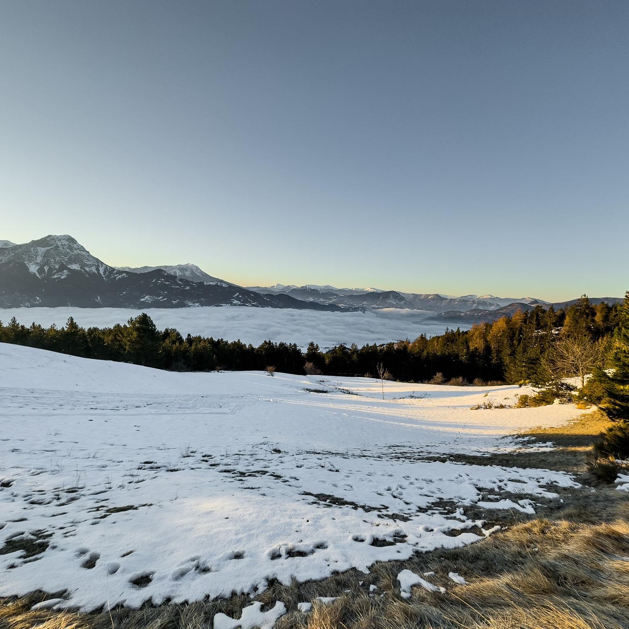
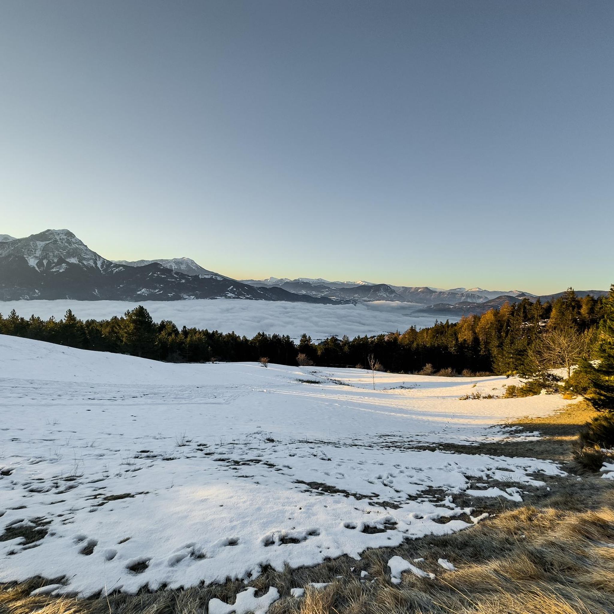
Not a very long climb with sections of significant gradients.
5
0
The Col de la Sentinelle is a climb located in the Serre Ponçon region. This climb is 7.4 km long, with a total elevation gain of 296 m. The Col de la Sentinelle has an average gradient of 4%.
5
0

A TRUE GATEWAY TO WILD YET TAMED NATURE AND MAJESTIC MOUNTAIN PASSES
0
0

great detox course
0
0

Col de Pontis is a climb located in the Serre Ponçon region. This climb is 5.2 kilometers long, with a positive elevation gain of 507 meters. Col de Pontis has an average gradient of 9.7%. With this gradient, the climb has 521 difficulty points. The highest point is at an altitude of 1,299 meters.
0
0

A bit bumpy but a useful alternative to the main road on the other side of the river
0
0
In the heart of the Hautes-Alpes, the Church of the Transfiguration (15th and 16th centuries) dominates the Durance Valley and houses highly valuable mural paintings.
9
0
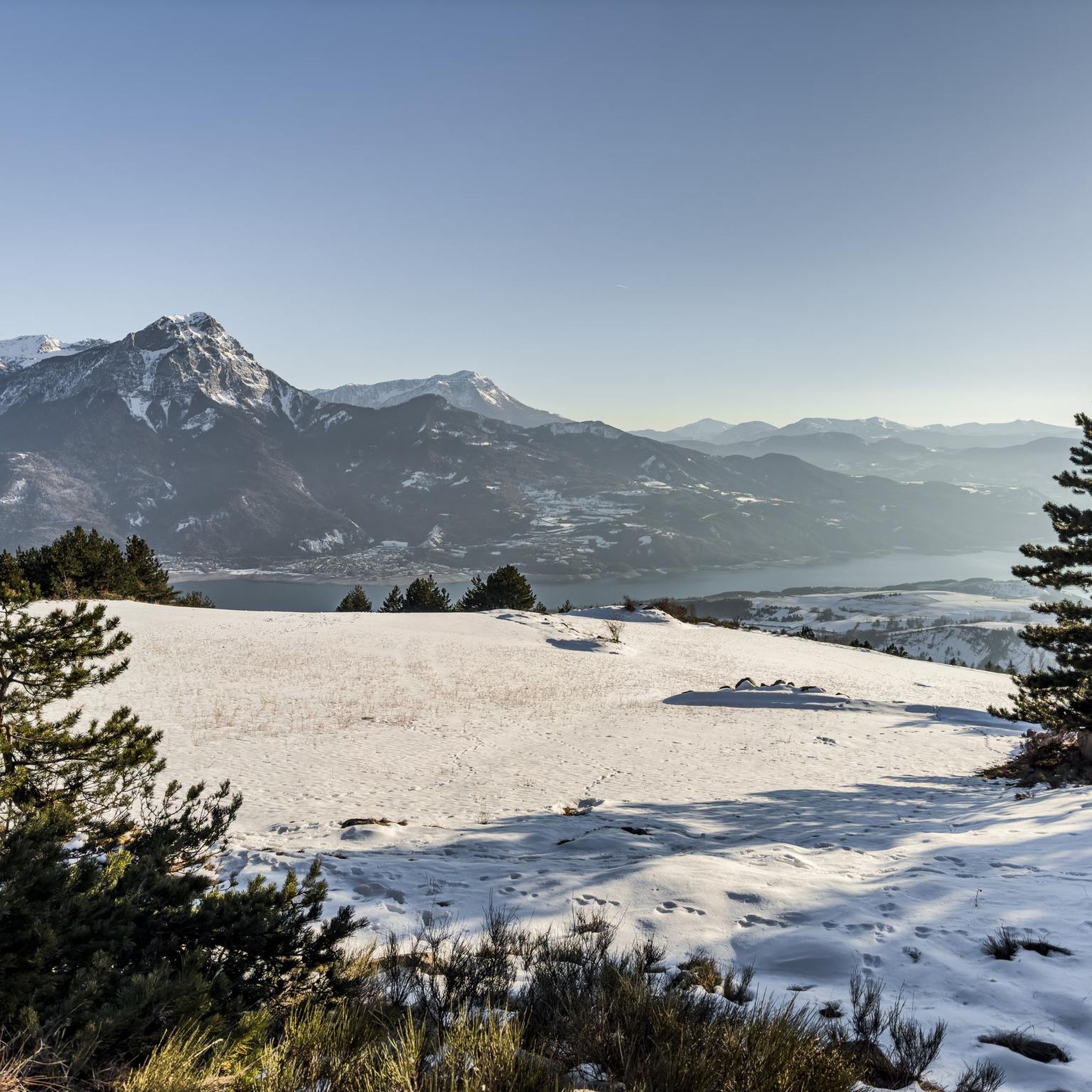
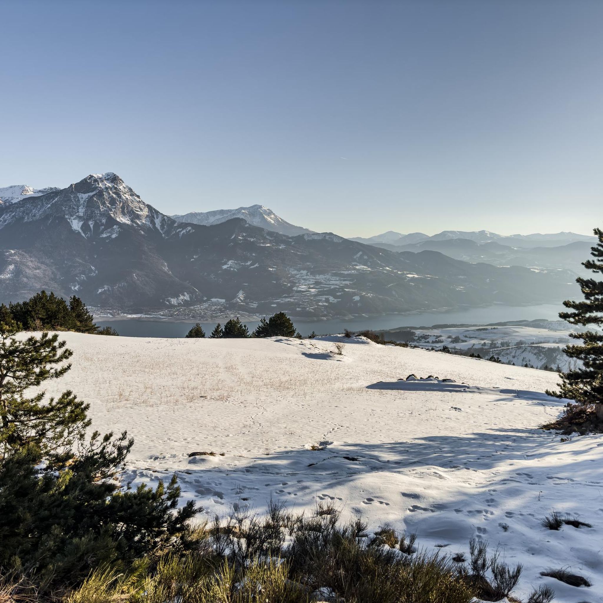
From here you can admire Lake Sarre-Ponçon.
10
0
Frequently Asked Questions
How many road cycling routes are available around Saint-Apollinaire?
There are over 95 road cycling routes around Saint-Apollinaire, offering a wide range of options for different skill levels. These include 11 easy routes, 47 moderate routes, and 39 difficult routes, ensuring there's something for every cyclist.
What kind of terrain can I expect when road cycling in Saint-Apollinaire?
The region around Saint-Apollinaire offers incredibly diverse terrain. You'll find challenging Alpine passes, frequently featured in the Tour de France, alongside scenic routes through hills and valleys. Expect significant elevation gains on routes tackling legendary climbs like Col du Noyer, Galibier, and Izoard, but also less demanding, picturesque options such as the Col de l'Échelle towards the Italian border. The landscape is characterized by large lakes, including the prominent Lac de Serre-Ponçon and the smaller Lac de Saint-Apollinaire.
Are there any particularly challenging road cycling routes for experienced riders?
Yes, Saint-Apollinaire is renowned for its challenging Alpine passes. Routes like the Col de Vars – View of the Durance Valley loop from Savines-le-Lac, spanning over 100 km with more than 2000 meters of elevation gain, offer a significant test of endurance. Other demanding options include the Col de Pontis – Bridge Over the Ubaye loop from Savines-le-Lac and the Lebraut Pass – Serre-Ponçon Dam loop from Prunières, both featuring substantial climbs and mountainous terrain.
What are some scenic viewpoints or natural features I can see along the road cycling routes?
The region is rich in natural beauty. Many routes offer breathtaking views of Lac de Serre-Ponçon. You can also discover natural monuments such as the Chabrières Needles, the unique Demoiselles Coiffées, and the dramatic Cirque de Morgon. The Lac de Saint-Apollinaire itself is a tranquil spot, perfect for a break. For panoramic vistas, consider routes that pass by the View of Lac de Serre-Ponçon from Le Morgonnet.
Are there any moderate or easier road cycling routes suitable for a more relaxed ride?
Yes, while the region is known for its climbs, there are also moderate routes. The The hills above Savines-le-Lac - Écrins National Park route is a popular moderate option, offering scenic views without extreme difficulty. Another good choice is the Saint-Apollinaire Viewpoint – Lake Serre-Ponçon loop from Savines-le-Lac, which provides beautiful lake views with a manageable elevation gain. There are 11 easy routes and 47 moderate routes in total to explore.
What do other road cyclists enjoy the most about road cycling in Saint-Apollinaire?
The road cycling routes around Saint-Apollinaire are highly rated by the komoot community, with an average score of 4.4 stars from over 290 reviews. Cyclists often praise the stunning natural beauty, the diversity of terrain from challenging Alpine passes to serene lake views, and the well-maintained paths. The opportunity to tackle iconic climbs and enjoy the untouched nature of the French Alps is a major draw.
Are there any circular road cycling routes in the area?
Many of the road cycling routes around Saint-Apollinaire are designed as loops, allowing you to start and finish in the same location. Examples include the Col de Pontis – Bridge Over the Ubaye loop from Savines-le-Lac and the Lebraut Pass – Serre-Ponçon Dam loop from Prunières. The region also features the 'Lake of Saint-Apollinaire' loop, which is mostly unpaved but offers a tranquil experience, and various loops around the larger Lac de Serre-Ponçon.
What is the best season for road cycling in Saint-Apollinaire?
The French Alps region around Saint-Apollinaire is generally best for road cycling from late spring through early autumn. During these months, the weather is typically mild, and the high mountain passes are clear of snow. Summer offers warm temperatures, but spring and autumn provide cooler conditions and vibrant scenery, making them ideal for longer rides and challenging climbs.
Are there any specific attractions or points of interest along the routes that are worth exploring?
Beyond the cycling itself, the region offers several attractions. The Lac de Saint-Apollinaire is a natural treasure, perfect for a break or a family outing, with swimming possible. You can also find impressive mountain peaks like Morgon peak and Mount Guillaume, offering stunning views. The Nonières Tunnel, an illuminated old railway tunnel, provides a unique experience on some routes.
Is Saint-Apollinaire suitable for long-distance road cycling tours?
Absolutely. The region's extensive network of roads and challenging Alpine passes makes it an excellent destination for long-distance road cycling. Routes like the Col de Vars – View of the Durance Valley loop from Savines-le-Lac, exceeding 100 km, are perfect for multi-hour rides. The area's connection to iconic Tour de France climbs also means there are numerous options for epic, long-distance adventures.
Where can I find parking for road cycling routes in Saint-Apollinaire?
While specific parking locations are not detailed for every route, Saint-Apollinaire and nearby towns like Savines-le-Lac and Prunières, which serve as common starting points for many routes, typically offer public parking facilities. It's advisable to check local signage upon arrival for designated parking areas for visitors and cyclists.
Most popular routes around Saint-Apollinaire
Most popular attractions around Saint-Apollinaire

Get inspired with the komoot mobile app


Explore more
Browse the best Road cycling routes in other regions.
