The best running trails around Plouër-Sur-Rance
4.2
(98)
3,478
runners
20
runs
Jogging routes around Plouër-Sur-Rance offer diverse terrain shaped by the Rance Estuary, providing picturesque backdrops for outdoor activity. The region features a mix of wooded areas, such as Rochel Woods and Bois de Rigourdaine, alongside coastal paths and dedicated greenways. Runners can expect routes that follow riverbanks, traverse forests, and include some elevated sections offering panoramic views.
Best jogging routes around Plouër-Sur-Rance
- The most popular jogging route is Pont Saint-Hubert – Pont Saint-Hubert loop from Plouër-sur-Rance, a 7.4 miles…
Last updated: June 30, 2026
3.0
(1)
29
runners
16.4km
01:55
260m
260m
Hard run. Very good fitness required. Mostly paved surfaces. Suitable for all skill levels.
19
runners
12.0km
01:25
190m
190m
Moderate run. Good fitness required. Mostly paved surfaces. Suitable for all skill levels.

Sign up for free
5.0
(1)
9
runners
13.3km
01:35
170m
170m
Moderate run. Good fitness required. Mostly paved surfaces. Suitable for all skill levels.
5.0
(2)
6
runners
9.90km
01:09
110m
110m
Moderate run. Good fitness required. Mostly paved surfaces. Suitable for all skill levels.
7
runners
6.91km
00:48
100m
100m
Moderate run. Good fitness required. Mostly paved surfaces. Suitable for all skill levels.
Get access to more routes and recommendations from other explorers.
Sign up for free
Already have an account?
Our route recommendations are based on thousands of hikes, rides, and runs completed by other people on komoot.
Start today with a free account
Your next adventure awaits.
Login or Signup

Tips from the Community

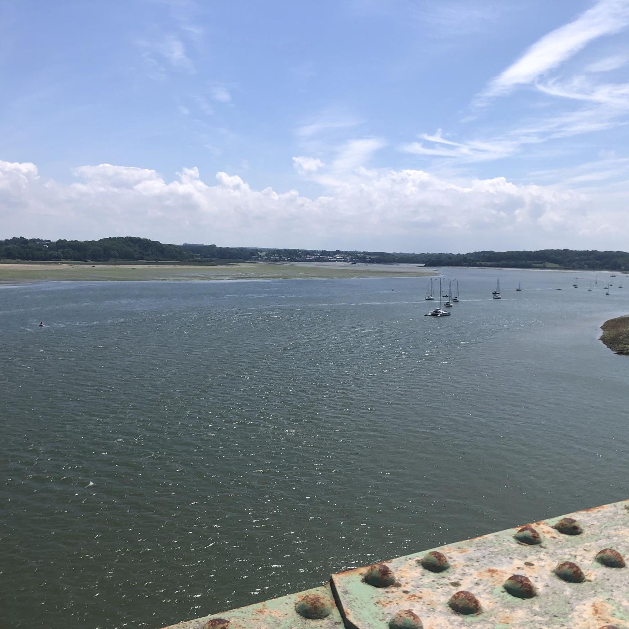
Highest point of the Agglomeration of Saint-Malo, view over the Rance estuary. Numerous nearby trails on foot or MTB/Gravel
0
0

The bridge is closed to car traffic until 2028, but passage is still possible on foot or by bicycle.
2
0

Path suggested by komoot has become mostly impraticable. Keep straight then left at the next intersection for an easier time and visible path
0
0

Definitely a better choice for getting to Dinan than the bridge closer to Saint Malo.
0
0


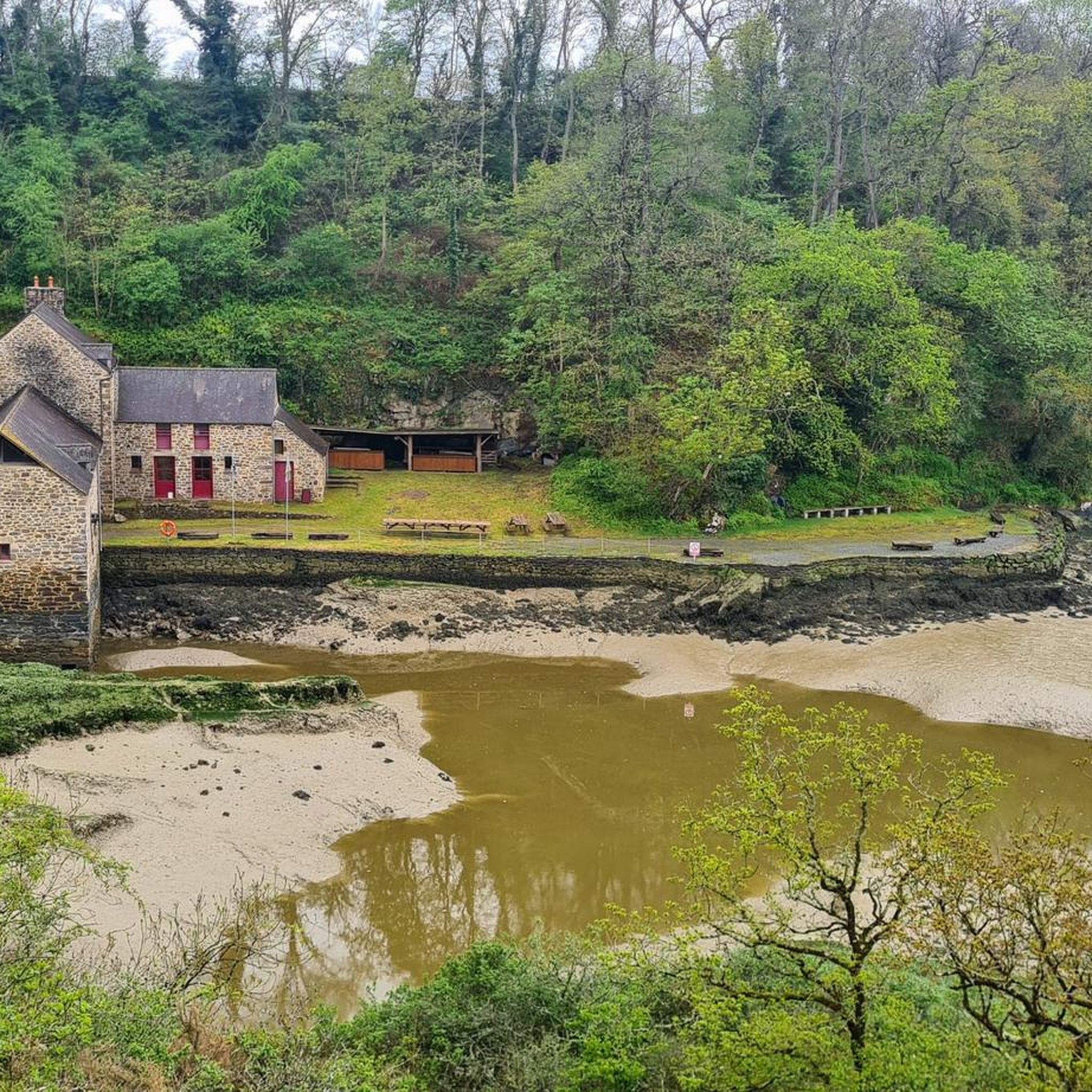
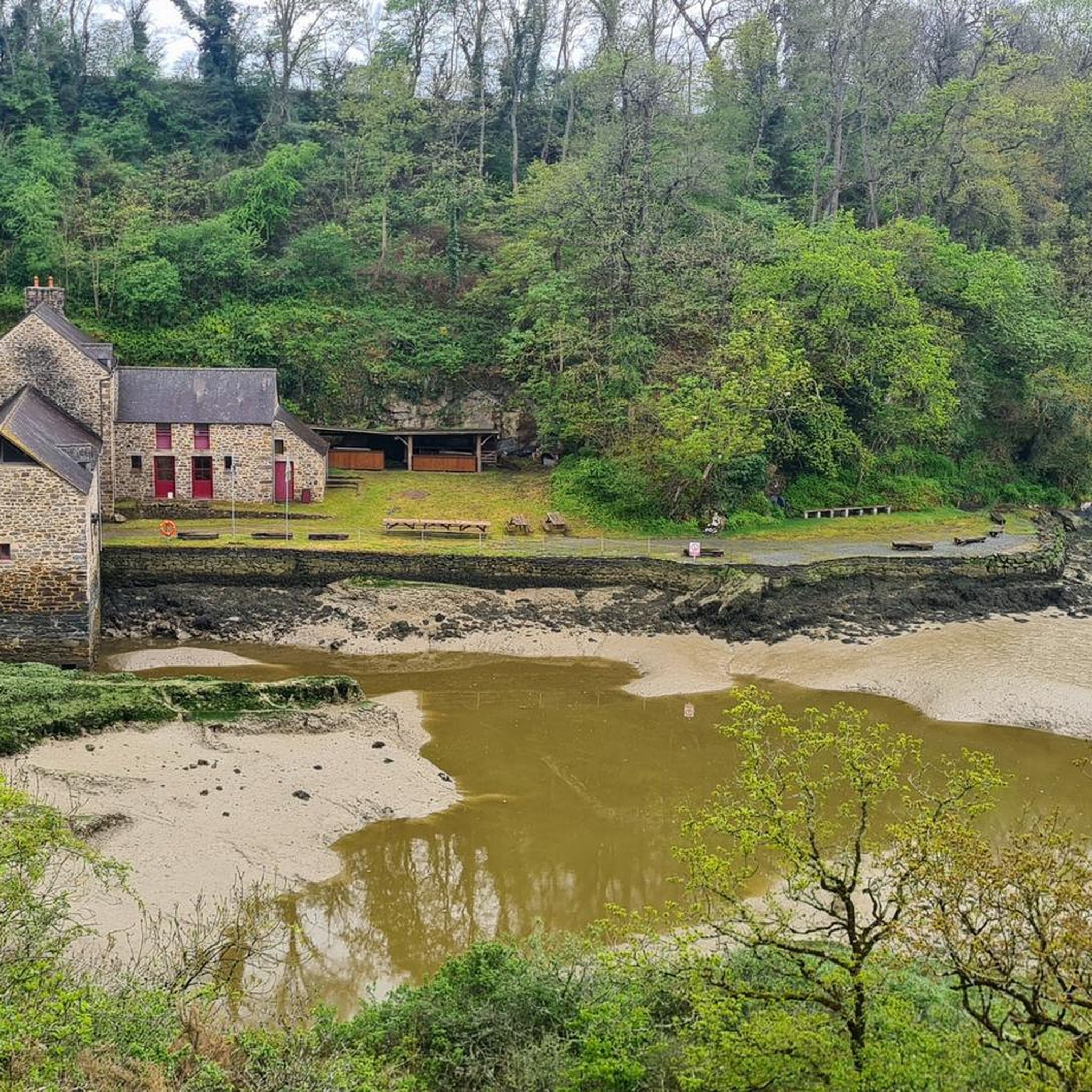
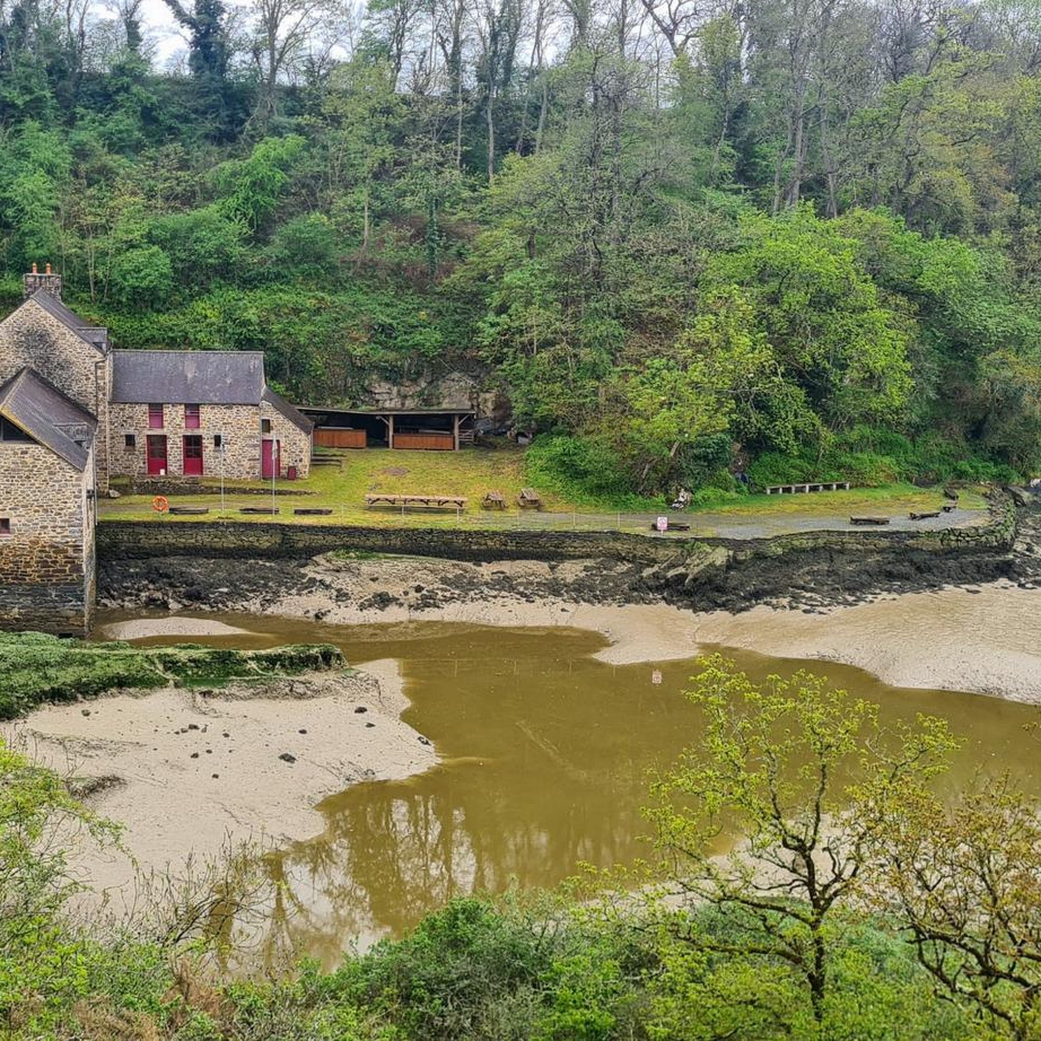
Surprising place, actually there is a bit of Jurassic Park!
0
0

It's impossible to ride a bike here and it's also forbidden; we had to climb up and down steep, slippery stairs; you can hike there but not cycle!
0
0

Frequently Asked Questions
How many running routes are available in Plouër-sur-Rance?
There are over 20 running routes around Plouër-sur-Rance, offering a variety of distances and difficulty levels. The komoot community has explored more than 20 of these trails, providing valuable insights and reviews.
Are there running routes suitable for beginners in Plouër-sur-Rance?
Yes, Plouër-sur-Rance offers several easy running routes. For instance, the Bois de Rigourdaine features an easy 2.1 km walk that is suitable for a leisurely jog. The region's greenways, like the Dinard–Saint-Samson-sur-Rance Greenway, also provide relatively flat and accessible paths perfect for beginners.
What kind of terrain can I expect on the running trails around Plouër-sur-Rance?
The running trails in Plouër-sur-Rance offer diverse terrain, shaped by the Rance Estuary. You'll find riverside paths along the Rance, forest trails through areas like Rochel Woods and Bois de Rigourdaine, and accessible greenways. Some routes also include elevated sections, providing varied challenges and scenic views.
Are there challenging running routes for experienced runners?
Absolutely. For experienced runners seeking a challenge, the Mount Gareau Ridge loop from Plouër-sur-Rance is a difficult 16.9 km path with significant elevation gain, leading to panoramic views from Mont Gareau. The Rochel Woods Circuit also offers varied terrain, including some steep-sided countryside.
Can I find running trails with scenic views in Plouër-sur-Rance?
Yes, many running trails in Plouër-sur-Rance boast magnificent scenic views. Routes along the Rance Estuary offer picturesque backdrops, while trails like the Mount Gareau Ridge loop provide panoramic vistas overlooking Saint-Suliac and, on clear days, even Mont-Saint-Michel. The Pont Saint-Hubert loop also features lovely views of the Rance.
What points of interest can I see while running in Plouër-sur-Rance?
While running, you can encounter several historical and cultural points of interest. The Pont Saint-Hubert loop passes by the historic Pont Saint-Hubert itself. Other routes might bring you close to the Beauchet Tidal Mill or the Château de Péhou. The La Chapelle de la Souhaitier loop also offers a historical landmark.
Are the running trails around Plouër-sur-Rance suitable for families?
Many trails in Plouër-sur-Rance are suitable for families, especially those looking for a leisurely jog or walk. The 'Walk in the Bois de Rigourdaine' is described as easy, and the Dinard–Saint-Samson-sur-Rance Greenway offers a flat, accessible path ideal for family outings.
Are dogs allowed on the running routes in Plouër-sur-Rance?
While specific regulations can vary, many natural areas and trails in France, including those around Plouër-sur-Rance, generally allow dogs, often requiring them to be on a leash. It's always a good idea to check local signage or specific route descriptions for any restrictions, especially in protected natural areas.
Where can I park when accessing running trails in Plouër-sur-Rance?
Parking is generally available near popular trailheads and points of interest in Plouër-sur-Rance. For routes starting directly from the town, you can often find public parking. For specific routes, checking the komoot tour details can provide information on recommended starting points and parking options.
Is it possible to reach running trails in Plouër-sur-Rance using public transport?
Plouër-sur-Rance has some public transport connections, which may allow access to certain areas or trailheads. For example, the Dinard–Saint-Samson-sur-Rance Greenway might be accessible via public transport links to nearby towns. However, for more remote trails, driving or cycling to the trailhead might be more convenient.
What is the best time of year for jogging in Plouër-sur-Rance?
Plouër-sur-Rance is enjoyable for jogging throughout much of the year. Spring and autumn offer pleasant temperatures and beautiful scenery. Summer is also popular, though it can be warmer. In winter, some wooded areas like Rochel Woods can become muddy and slippery, so appropriate footwear is advised during this season.
Are there any circular running routes in Plouër-sur-Rance?
Yes, many of the running routes in Plouër-sur-Rance are circular, allowing you to start and end at the same point. Examples include the popular Pont Saint-Hubert – Pont Saint-Hubert loop, the challenging Mount Gareau Ridge loop, and the scenic Ville Huchet Castle – View of the Rance River loop.
What do other runners enjoy the most about jogging in Plouër-sur-Rance?
The running routes in Plouër-sur-Rance are highly rated by the komoot community, with an average score of 4.2 stars from nearly 100 reviews. Runners often praise the diverse landscapes, from riverside paths along the Rance Estuary to tranquil forest trails, and the accessibility of routes for various fitness levels.
Most popular routes around Plouër-Sur-Rance
Most popular attractions around Plouër-Sur-Rance

Get inspired with the komoot mobile app


Explore more
Browse the best Running Trails & Routes in other regions.
