The best walks and hikes around Plouër-Sur-Rance
4.5
(763)
3,704
hikers
20
hikes
Hiking around Plouër-Sur-Rance offers diverse trails along the Rance estuary, characterized by dynamic riverine landscapes and coastal paths. The region features shaded cliffs, coastal woods like the Bois de Rigourdaine, and rural countryside. Mont Gareau provides panoramic views, while the Rance estuary itself is a significant natural feature. The area's varied terrain includes both open views and wooded sections, suitable for different hiking experiences.
Best hiking trails around Plouër-Sur-Rance
- The most popular hiking route is Bar Le Doris loop from…
Last updated: October 12, 2026
4.7
(3)
29
hikers
12.1km
03:15
150m
150m
Moderate hike. Good fitness required. Easily-accessible paths. Suitable for all skill levels.
5.0
(1)
13
hikers
7.62km
02:05
120m
120m
Moderate hike. Good fitness required. Easily-accessible paths. Suitable for all skill levels.

5.0
(1)
16
hikers
Moderate hike. Good fitness required. Easily-accessible paths. Suitable for all skill levels.
4.8
(5)
14
hikers
Easy hike. Great for any fitness level. Easily-accessible paths. Suitable for all skill levels.
5.0
(1)
15
hikers
11.1km
03:02
170m
170m
Moderate hike. Good fitness required. Easily-accessible paths. Suitable for all skill levels.
Get access to more routes and recommendations from other explorers.
Already have an account?
Our route recommendations are based on thousands of hikes, rides, and runs completed by other people on komoot.
Start today with a free account
Your next adventure awaits.
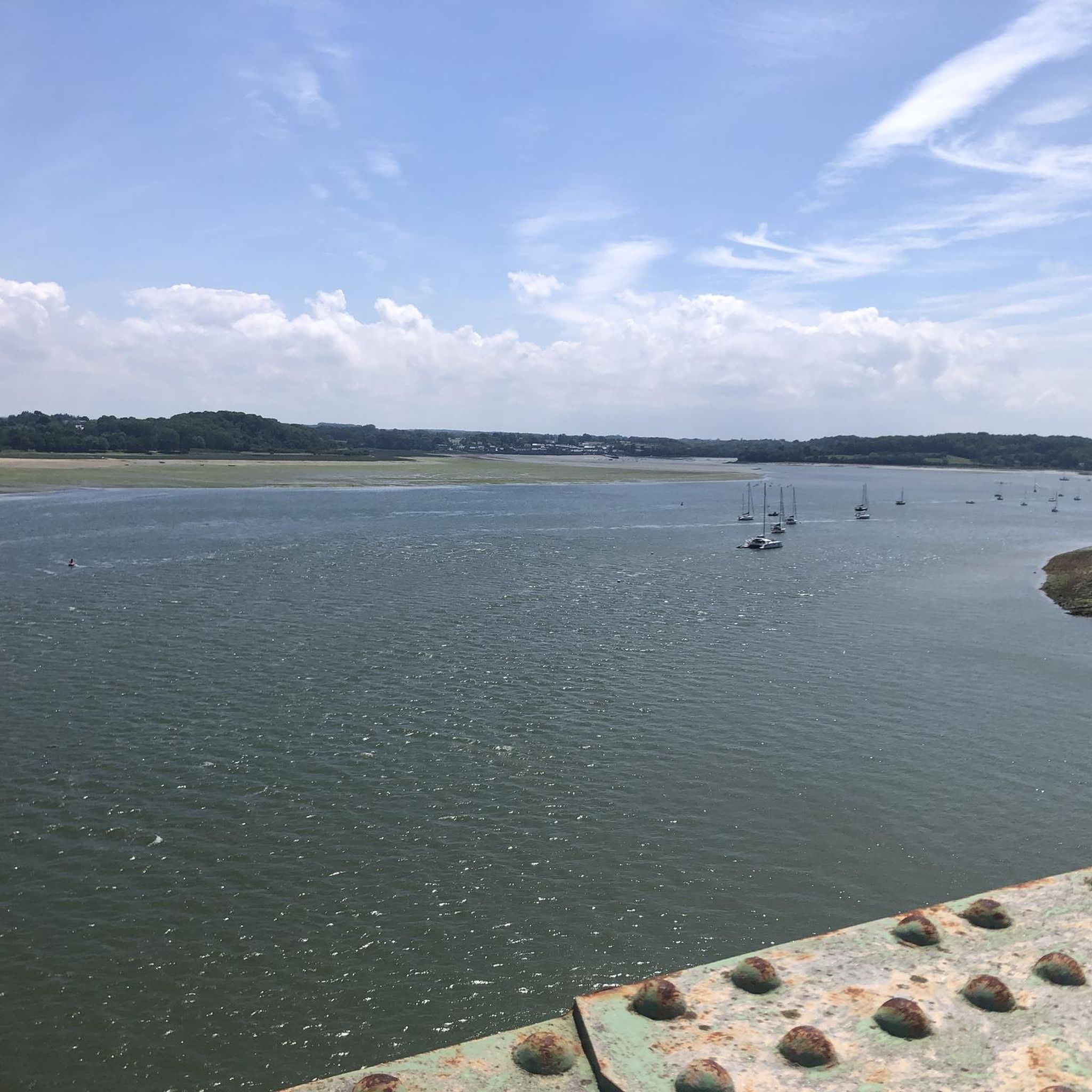
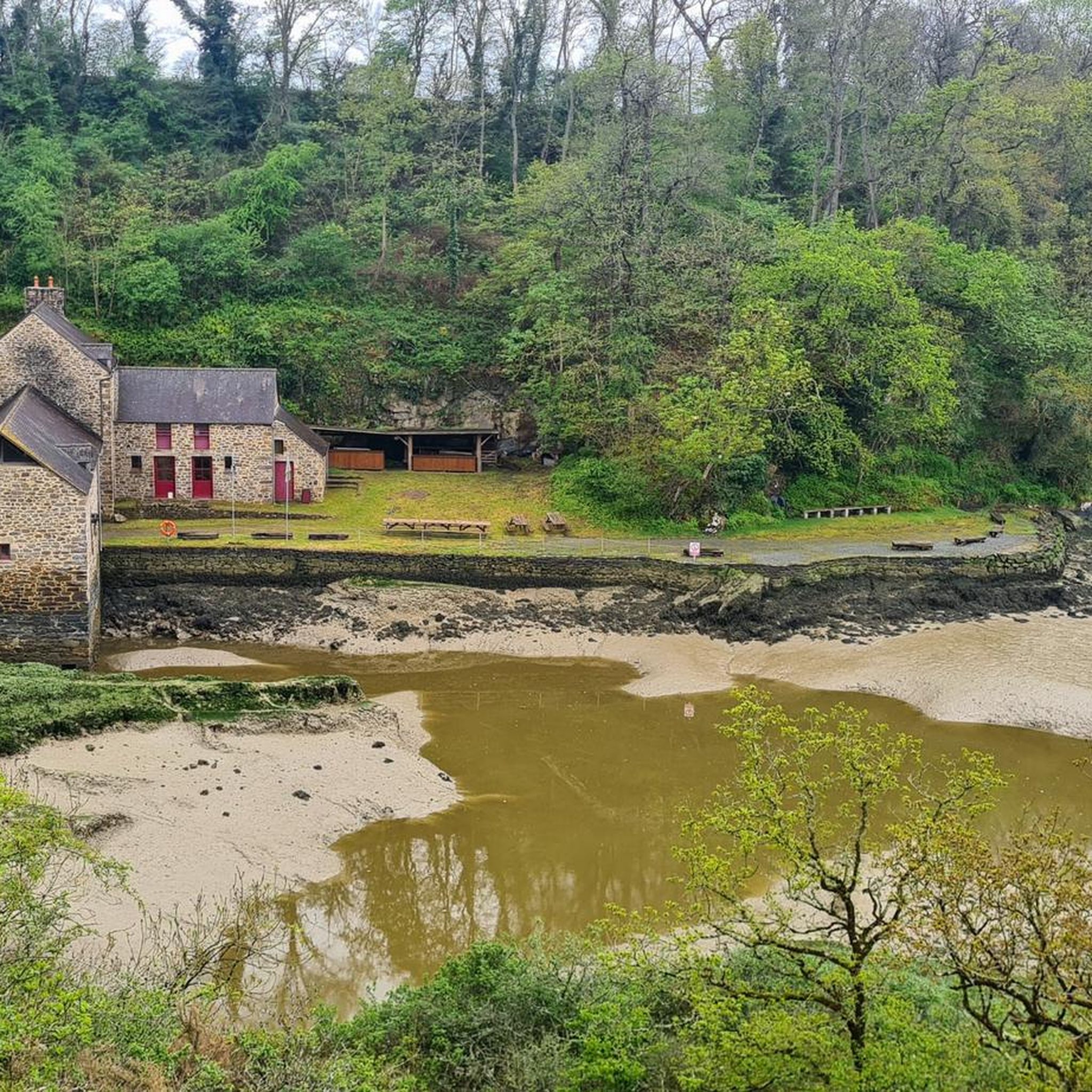
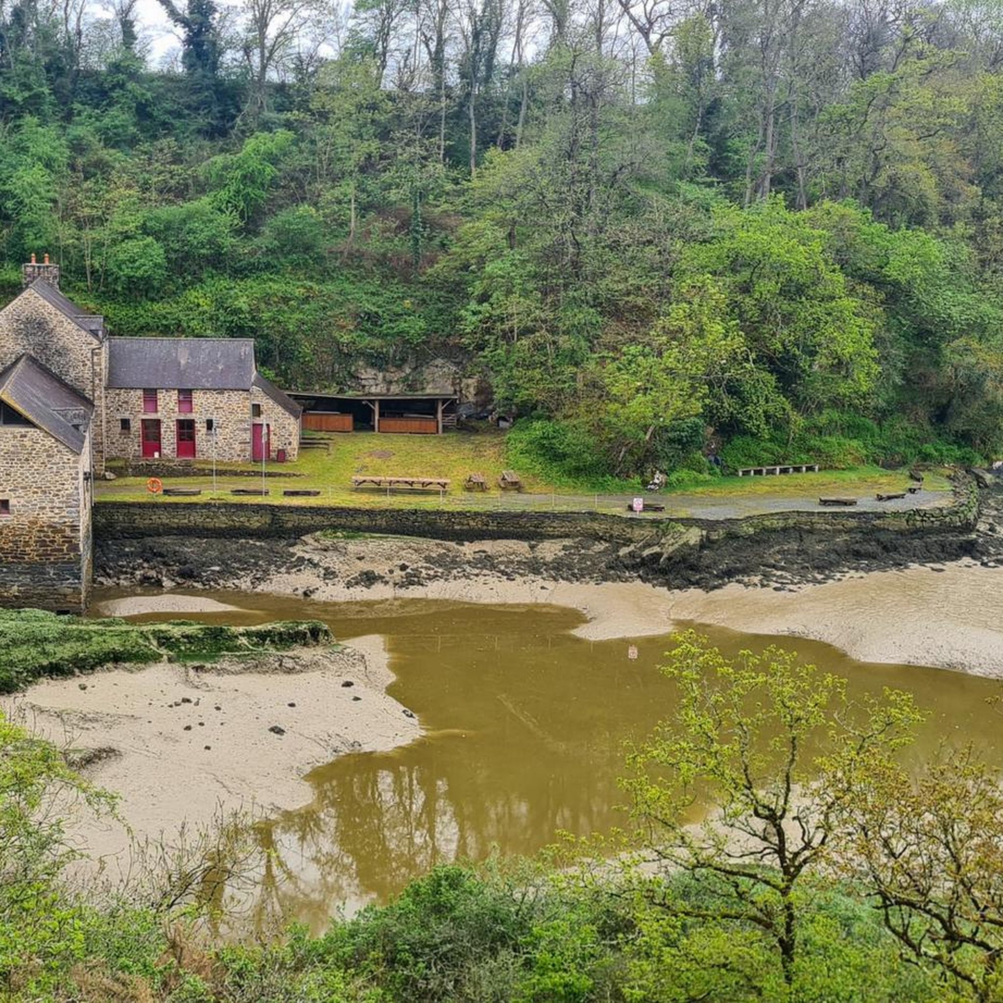


Tips from the Community

a magnificent place in the hollow of a small valley.
0
0

A pretty little peaceful port on the banks of the Rance. The road, however, is certainly less peaceful in season 😅.
0
0

Definitely a better choice for getting to Dinan than the bridge closer to Saint Malo.
0
0

lovely view of the Rance, a stone's throw from a beautiful chapel
0
0


The Châtelier lock marks the limit between the river Rance (fresh water) and the maritime Rance (brackish water), subject to the staggered tides of the tidal power plant.
0
0

Lock and weir. The flood comes this far.
0
0

Do not miss the path on the left 100 m after the chapel up the paved road
0
0
Frequently Asked Questions
How many hiking trails are available around Plouër-Sur-Rance?
There are over 20 hiking trails in the Plouër-Sur-Rance area, offering a variety of experiences along the Rance River estuary. These include 10 easy routes, 9 moderate routes, and 1 difficult route.
Are there any easy hiking trails suitable for beginners in Plouër-Sur-Rance?
Yes, the region offers 10 easy hiking routes perfect for beginners or those looking for a relaxed stroll. These trails typically feature gentle terrain and shorter distances, allowing you to enjoy the riverine landscapes without significant challenge.
What kind of terrain can I expect on hikes around Plouër-Sur-Rance?
Hiking trails around Plouër-Sur-Rance are characterized by diverse terrain. You'll find river paths, coastal sections with views of the Rance estuary, and wooded areas. Many routes combine open views with sheltered sections, offering varied scenery.
Are there any circular hiking routes in Plouër-Sur-Rance?
Many of the trails in the area are circular, allowing you to start and end at the same point. For example, the Bar Le Doris loop from Langrolay-sur-Rance is a popular moderate circular route covering 8.8 km.
What are some interesting landmarks or attractions to see while hiking near Plouër-Sur-Rance?
The region is rich in historical and natural sights. You can explore the charming Dinan Old Town, visit the Beauchet Tidal Mill, or admire the architecture of the Pont Saint-Hubert. For those interested in history, the Solidor Tower is also nearby.
What do other hikers say about the trails in Plouër-Sur-Rance?
The hiking trails in Plouër-Sur-Rance are highly regarded by the komoot community, with an average rating of 4.6 stars from over 600 reviews. Hikers often praise the scenic views of the Rance River, the varied landscapes, and the well-maintained paths.
Are there any longer hiking options for experienced hikers?
Yes, for those seeking a longer challenge, routes like the View of the Rance River – Le Châtelier Lock loop from Plouër-sur-Rance offer a substantial hike. This moderate trail spans 15.2 km and typically takes around 4 hours to complete, showcasing extensive riverine landscapes.
Can I find trails that offer views of the Rance River?
Many trails in Plouër-Sur-Rance provide excellent views of the Rance River and its estuary. For instance, the Saint-Lunaire statue – View of the Rance River loop from Plouër-sur-Rance is a moderate 10.6 km path specifically known for its varied terrain along the estuary and river vistas.
Are there any trails that explore the coastal path along the Rance?
Absolutely. The region features trails that follow the coastal path, offering unique perspectives of the Rance. The Pont Saint-Hubert – Coastal Path along the Rance loop from Plouër-sur-Rance is a moderate 14.7 km route that takes you along these scenic sections.
What is the typical duration for hikes in this area?
Hike durations vary depending on the route's length and difficulty. Easy trails might take an hour or two, while moderate routes like the View of the Rance River loop from Plouër-sur-Rance (7.6 km) can be completed in about 2 hours. Longer moderate trails can take up to 4 hours.
Are there any castles or historical sites accessible from the hiking trails?
Yes, the area around Plouër-Sur-Rance has several historical sites. You can find castles and historical points of interest such as the Access to Port-Breton Park & Château, Dinard, or the Château de Péhou. Some trails may pass near these sites or offer views of them.
Most popular routes around Plouër-Sur-Rance
Most popular attractions around Plouër-Sur-Rance

Get inspired with the komoot mobile app


Explore more
Browse the best Hikes in other regions.
