The best road cycling routes around Balschweiler
4.6
(194)
4,411
riders
298
rides
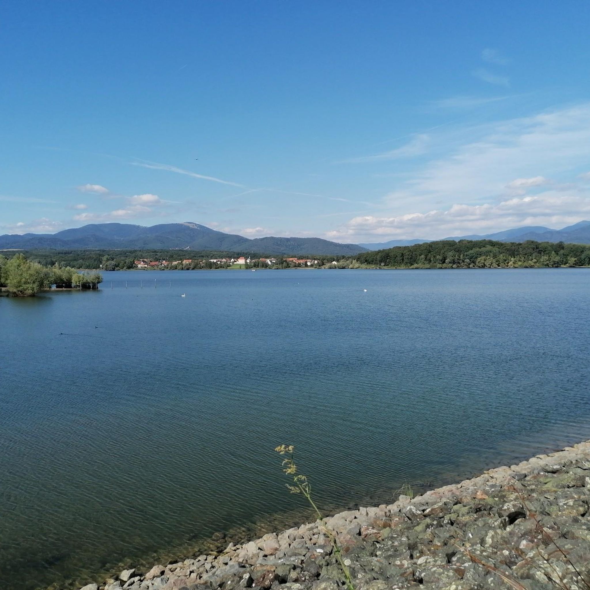
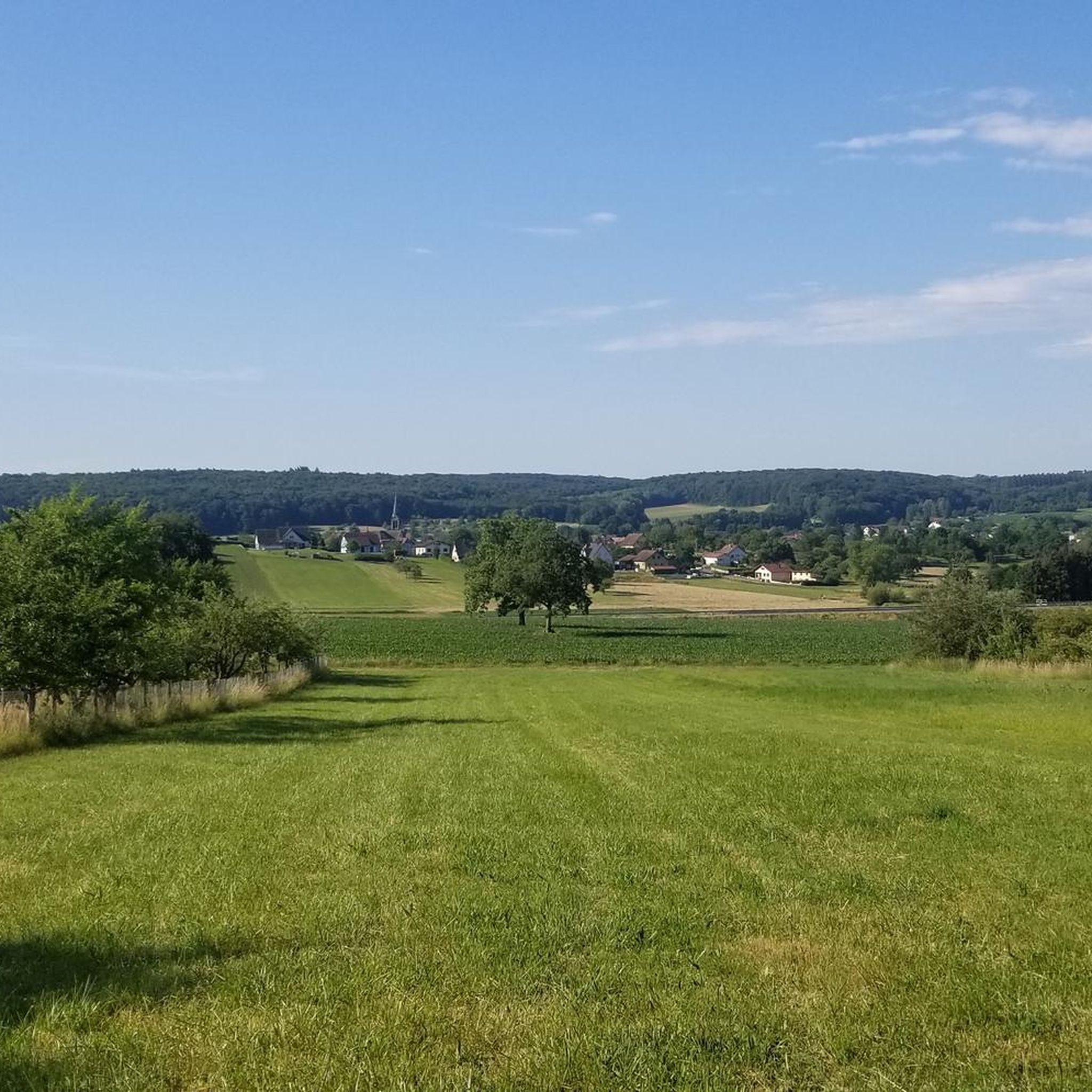
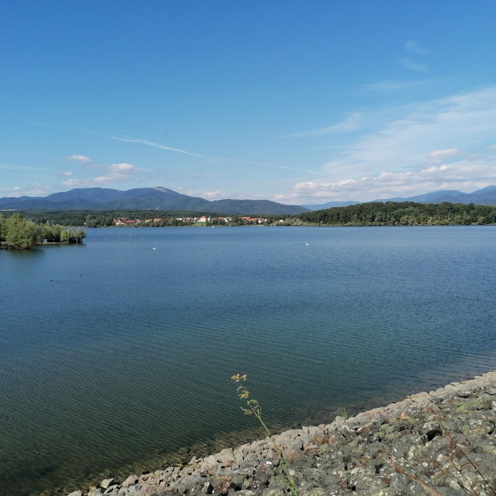
Road cycling around Balschweiler features a landscape characterized by gently rolling terrain and a network of waterways, including locks and canals. The region offers routes with relatively low elevation gains, making it suitable for various fitness levels. Distant views of the Vosges mountains can be observed on some routes, adding to the scenic appeal. This area provides a mix of open agricultural fields and small village passages, ideal for road cycling.
Best road cycling routes around Balschweiler
- The most popular…
Last updated: July 3, 2026
5.0
(2)
36
riders
41.1km
01:44
270m
270m
Easy road ride. Great for any fitness level. Mostly well-paved surfaces and easy to ride.
22
riders
9.39km
00:23
50m
50m
Easy road ride. Great for any fitness level. Mostly well-paved surfaces and easy to ride.

Sign up for free
4.0
(1)
14
riders
38.7km
01:46
290m
290m
Moderate road ride. Great for any fitness level. Some segments of this route may be unpaved and difficult to ride.
12
riders
51.8km
02:18
340m
340m
Moderate road ride. Good fitness required. Mostly well-paved surfaces and easy to ride.
6
riders
77.3km
03:12
490m
490m
Moderate road ride. Good fitness required. Mostly well-paved surfaces and easy to ride.
Get access to more routes and recommendations from other explorers.
Sign up for free
Already have an account?
Our route recommendations are based on thousands of hikes, rides, and runs completed by other people on komoot.
Start today with a free account
Your next adventure awaits.
Login or Signup

Tips from the Community

It's just a gentle up and down. And all of this on a main road, but it's still somehow nice to roll along like that...
0
0
At the start of the long Voie Vert route on the former railway line between Dannemarie and Pfetterhouse, you'll also find the Dannemarie town sign with a small statue. From here, keep left until you reach the actual cycle path.
0
0

Every lock along the route provides for an unusual background and a good memory of your bike trip. A lot of these locks have a bridge going over them, take the time to branch off the bridge and discover some of the nice villages along the canal.
0
0
The French and European National Cycleway is a great cycleway winding along side of the Rhine Rhone Canal with very little climbing, for those who do not like to climb. However those who are climbing shy, must be aware of the wind in this area. A lot of the locks still have the former lock man’s house which adds a bit of charm to every lock. One is never alone on this route as there is a constant passing of bicycles, both leisure and racing bikes.
0
0
The Rhine Rhone Cycleway is part of the National French and European Cycleway. This stretch of the cycleway has excellent smooth asphalted pavement. There are some nice restaurants and cafés along the way which are sometimes hidden but can easily be found on the map.
1
0
This route takes one north to the area of Guebwiller with little or low traffic, however there is a rather camouflaged barrier at the end of this route before one crosses it. The barrier is the same color as the asphalt, rising about 15cm above the surface, one cannot see it until one is right up on it and is in my opinion, just downright dangerous. The local authorities need to have some type of florescent color spayed on this low hidden barrier to be visible to cyclists.
1
0

No idea why I didn't write anything about this...🤔😅
0
1

Ammertzwiller is a quiet Alsatian village that is surprisingly convenient for cyclists on the road. There are a few mini markets, restaurants and even a chemist – ideal for stocking up on provisions or taking a break. The village is set in rolling countryside and offers lovely picnic spots overlooking the fields. Information boards in the village tell the story of the local history during the First World War, making this stop not only practical but also meaningful."
8
0
Frequently Asked Questions
How many road cycling routes are available around Balschweiler?
There are over 280 road cycling routes in the Balschweiler region. These include a good mix of easy, moderate, and challenging options, ensuring there's something for every skill level.
What is the overall difficulty level of road cycling routes in Balschweiler?
The road cycling routes around Balschweiler are predominantly easy to moderate, with over 80 easy routes and more than 160 moderate routes. There are also about 40 more challenging routes for experienced cyclists. The terrain is generally flat to gently rolling, characterized by low elevation gains.
Are there any family-friendly or beginner road cycling routes in Balschweiler?
Yes, Balschweiler offers many routes suitable for families and beginners due to its generally flat to gently rolling terrain. An excellent option is the Schweighouse - Reiningue – Ammertzwiller loop from Ammertzwiller, an easy 30.6 km trail with minimal elevation gain, perfect for a relaxed ride.
Where can I find challenging road cycling routes with more elevation?
For those seeking more challenging rides, the region offers routes with greater elevation. Consider the Eglingen Lock – View of the Vosges loop from Ammertzwiller. This moderate 62.5 km route features over 530 meters of elevation gain and offers distant views of the Vosges mountains.
What kind of scenery can I expect while road cycling in Balschweiler?
Road cycling in Balschweiler offers diverse scenery, including open agricultural fields, charming small villages, and picturesque routes alongside various waterways, such as locks and canals. On clear days, you can also enjoy distant views of the Vosges mountains.
Are there any circular road cycling routes available?
Yes, many of the road cycling routes in Balschweiler are designed as loops, allowing you to start and end at the same point. For example, the Schweighouse - Reiningue – Ammertzwiller loop from Ammertzwiller is a popular circular option.
What are some interesting landmarks or attractions to see along the road cycling routes?
The region around Balschweiler features several interesting points. You can cycle past various locks, such as the Eglingen Lock or the Zillisheim Drawbridge and Lock No. 35. The Port of Dannemarie is also a notable sight. Additionally, there are several beautiful lakes like Michelbach Lake and Étang La Belle Île that you might encounter.
What do other road cyclists enjoy most about road cycling in Balschweiler?
The area is highly rated by the komoot community, with an average score of 4.5 stars from over 180 reviews. Reviewers often praise the region's varied terrain, which combines agricultural landscapes with routes along waterways, and the options available for different fitness levels.
What is the best time of year for road cycling in Balschweiler?
The spring, summer, and early autumn months generally offer the most pleasant weather for road cycling in Balschweiler. During these seasons, you can enjoy comfortable temperatures and the full beauty of the agricultural fields and waterways. Always check the local weather forecast before heading out.
Are there options for cafes or places to stop for refreshments along the routes?
While specific cafes are not listed for every route, the presence of small villages along many of the routes suggests opportunities for refreshments. Planning your route with komoot allows you to discover points of interest, including potential cafes or restaurants, along your chosen path.
How long do road cycling routes in Balschweiler typically take to complete?
The duration of routes varies significantly based on distance and your cycling speed. For instance, an easy 30 km route might take around 1.5 to 2 hours, while a moderate 60 km route with more elevation could take 3 to 4 hours or more. Komoot provides estimated durations for each route to help you plan.
Most popular routes around Balschweiler
Most popular attractions around Balschweiler

Get inspired with the komoot mobile app


Explore more
Browse the best Road cycling routes in other regions.
