The best walks and hikes around Balschweiler
4.6
(694)
4,260
hikers
317
hikes
Hiking around Balschweiler offers access to diverse landscapes in the Haut-Rhin department of Alsace, France. The region is characterized by its proximity to the Ballons des Vosges Regional Nature Park, featuring rounded mountain peaks, dense forests, and glacial lakes. Additionally, the Alsace Wine Route provides trails through picturesque vineyards and rolling hills. This area offers a variety of terrain for outdoor enthusiasts.
Best hiking trails around Balschweiler
- The most popular hiking route is Notre-Dame du Mont – Balschwiller Washhouse loop…
Last updated: October 8, 2026
4.6
(10)
47
hikers
11.0km
02:58
140m
140m
Moderate hike. Good fitness required. Easily-accessible paths. Suitable for all skill levels.
4.8
(4)
26
hikers
9.61km
02:35
120m
120m
Moderate hike. Good fitness required. Easily-accessible paths. Suitable for all skill levels.

4.6
(8)
37
hikers
7.68km
02:04
100m
100m
Moderate hike. Good fitness required. Easily-accessible paths. Suitable for all skill levels.
11
hikers
7.37km
01:53
20m
20m
Easy hike. Great for any fitness level. Easily-accessible paths. Suitable for all skill levels.
5.0
(2)
5
hikers
15.8km
04:16
220m
220m
Moderate hike. Good fitness required. Easily-accessible paths. Suitable for all skill levels.
Get access to more routes and recommendations from other explorers.
Already have an account?
Our route recommendations are based on thousands of hikes, rides, and runs completed by other people on komoot.
Start today with a free account
Your next adventure awaits.


Tips from the Community

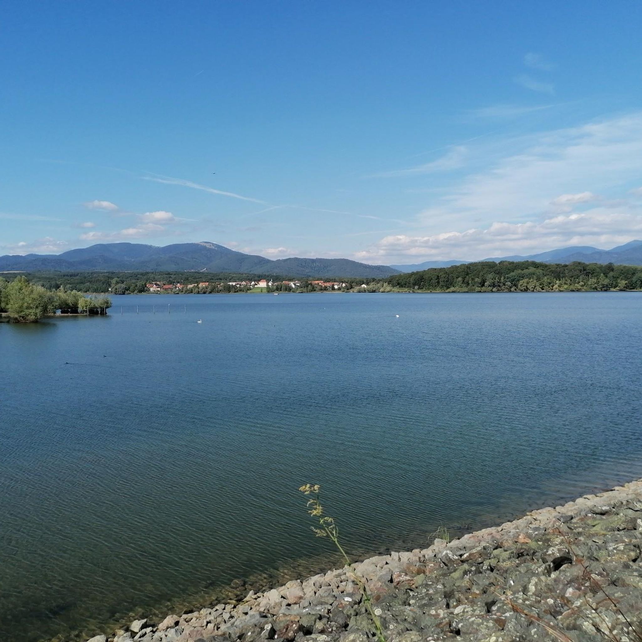
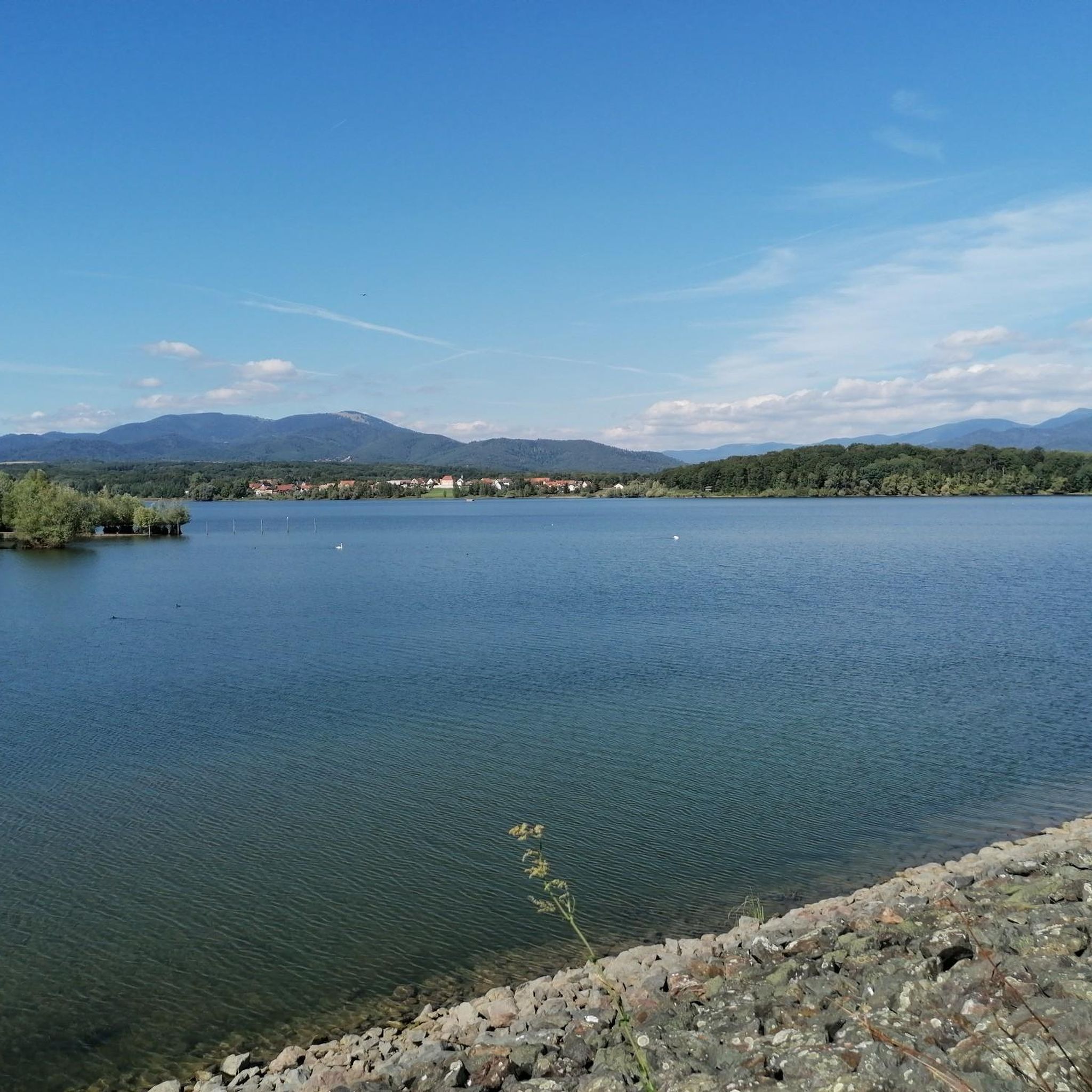
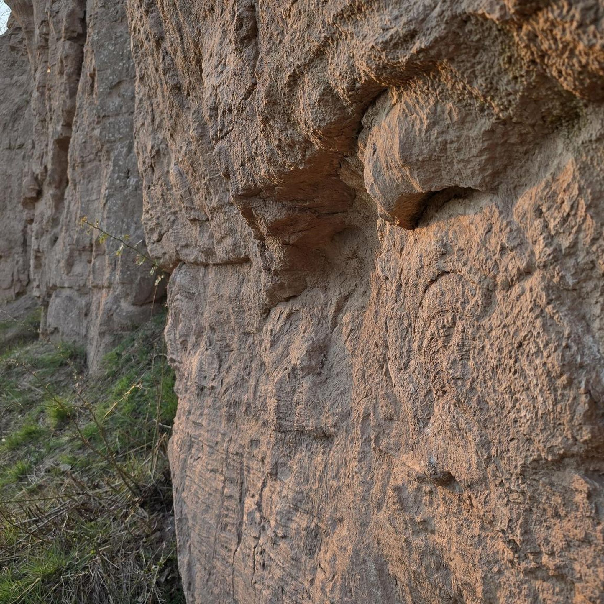
Ammertzwiller – destroyed front village and mine warfare Ammertzwiller was one of the particularly contested locations on the Sundgau front during World War I. From September 1914, the front line ran immediately west of the village. German troops held Ammertzwiller, while French positions were located near Gildwiller-le-Mont, among other places. On January 1, 1915, the entire population was evacuated. Shortly thereafter, the abandoned village itself became a combat zone. The church was destroyed on January 8, 1915. By the end of the war, Ammertzwiller was almost completely devastated. The place became particularly known for mine warfare. From May 1915, French sappers and German pioneers dug tunnels under the enemy positions and detonated them. The underground warfare lasted until early 1916 and left numerous explosion craters. A striking event was the German mine detonation on July 11, 1915. The explosion under the German outpost Sautter created a massive crater. The mine crater, now filled with water, is preserved as the "Entonnoir" and serves as a reminder of this form of warfare. German troops also built an extensive system of bunkers, shelters, and underground facilities. Today, the approximately 10.5 km long "Circuit de la mémoire d’Ammertzwiller" leads through this former front landscape. Around 15 information boards explain the local history. After the war, the residents returned to a largely destroyed village. Reconstruction left a lasting mark on Ammertzwiller. Today's Saint-Étienne church, with its depictions, preserves the memory of evacuation, war, and return. Particularly worth seeing: the water-filled mine crater and the Circuit de la mémoire d’Ammertzwiller.
0
0

Next to the town hall. Fountain, bench, and a large shelter with two tables and benches. Restrooms are located at the rear of the building. Ideal for a sheltered picnic or for a group to wait out a downpour in the dry.
0
0
February 2026: Don't bother looking for the trees anymore, they've been cut down. Only the Saint Eloi cross remains.
0
0

Ammertzwiller is a quiet Alsatian village that is surprisingly convenient for cyclists on the road. There are a few mini markets, restaurants and even a chemist – ideal for stocking up on provisions or taking a break. The village is set in rolling countryside and offers lovely picnic spots overlooking the fields. Information boards in the village tell the story of the local history during the First World War, making this stop not only practical but also meaningful."
8
0

In Gildwiller, an unmissable pilgrimage
0
0
Very pretty, extremely well preserved
0
0

This historic well has for a long time satisfied the water needs of the municipality of Guevenatten. An informative panel tells you more about its history and its particularity in terms of construction.
0
0
Located on the Alsatian Way to Santiago de Compostela, Bellemagny is a beautiful town that is worth the detour. Despite its small size, it is home to many sites of interest such as the old Bellemagny mill, the convent of Bellemagny or the traditional half-timbered houses. There are also colorful animal statues dotted around the village.
1
0
Frequently Asked Questions
How many hiking trails are available around Balschweiler?
There are nearly 300 hiking routes around Balschweiler, offering a wide variety of experiences. These trails are highly rated by the komoot community, with an average score of 4.5 stars from over 500 reviews.
What kind of landscapes can I expect to see while hiking near Balschweiler?
Hiking around Balschweiler offers access to diverse landscapes. You can explore the ancient, rounded mountain peaks and dense forests of the Ballons des Vosges Regional Nature Park, or wander through the picturesque vineyards and charming villages along the Alsace Wine Route. The region features everything from high-altitude meadows to tranquil paths around glacial lakes.
Are there any easy hiking routes suitable for beginners or families?
Yes, there are 148 easy hiking routes around Balschweiler. Many of these are suitable for beginners or families looking for a more relaxed experience. For example, the Notre-Dame du Mont loop from Gildwiller is a moderate 4.8-mile trail that offers varied terrain without being overly challenging.
Are there any circular hiking routes around Balschweiler?
Many of the trails around Balschweiler are circular, allowing you to start and end at the same point. A popular moderate circular route is the Notre-Dame du Mont – Balschwiller Washhouse loop from Balschwiller, which covers 6.8 miles and takes about 3 hours to complete.
Can I find trails that pass by lakes or other natural water features?
Yes, the region around Balschweiler is home to several picturesque lakes and ponds. You can find trails that lead to or pass by natural water features like Michelbach Lake or Étang La Belle Île, offering serene views and opportunities for relaxation.
Are there any notable landmarks or historical sites to see while hiking?
Beyond natural beauty, the area offers interesting landmarks. You might encounter historical sites such as the Port of Dannemarie or the Zillisheim Drawbridge and Lock No. 35. The Alsace Wine Route also features charming medieval villages and ancient castles.
What are the more challenging hiking options available?
For those seeking a challenge, the Ballons des Vosges Regional Nature Park, accessible from Balschweiler, offers more demanding trails. These include ascents to peaks like Grand Ballon, the highest point in the Vosges Mountains, and the famous Sentier des Roches, known for its steep sections and dramatic mountain scenery. There are 8 difficult routes listed in the area.
Can I hike through vineyards or combine hiking with wine tasting?
Absolutely. Balschweiler's proximity to the Alsace Wine Route means you can explore numerous vineyard trails. These paths often connect charming villages, providing opportunities to immerse yourself in the region's viticultural landscape and enjoy local culture, architecture, and even gourmet hiking experiences that combine walking with local food and wine tastings. For more information on the Alsace Wine Route, you can visit visit.alsace.
Are there any trails that offer extensive views?
Yes, many trails in the Ballons des Vosges Regional Nature Park provide extensive views. The Grand Ballon, for instance, offers panoramic vistas of the surrounding countryside, and on clear days, you might even catch glimpses of the Black Forest, the Alps, and the Bernese Oberland. Trails around the glacial lakes also provide stunning scenic outlooks.
What is a popular moderate hike in the area?
A popular moderate hike is the Notre-Dame du Mont loop from Ammertzwiller. This 5.9-mile path offers scenic views around the Notre-Dame du Mont area and is a favorite among local hikers.
Are there any longer moderate routes for a full day out?
For a longer moderate hike, consider the Notre-Dame du Mont loop from Burnhaupt-le-Bas. This route spans 7.7 miles (12.4 km) and provides a good option for a more extended outing in the region.
Most popular routes around Balschweiler
Most popular attractions around Balschweiler

Get inspired with the komoot mobile app


Explore more
Browse the best Hikes in other regions.
