The best running trails around Saint-Diéry
4.6
(85)
3,415
runners
15
runs
Jogging around Saint-Diéry offers diverse terrain across an ancient lava flow, situated between 600 and 800 meters in altitude within the Puy-de-Dôme department. The region is characterized by its unique volcanic landscapes, including formations from the Massif du Sancy, and the tranquil paths along the Couze Pavin river. Runners can explore a mix of forest trails, open plateaus, and routes leading to panoramic viewpoints.
Best jogging routes around Saint-Diéry
- The most popular jogging route is Saurier loop from Saurier,…
Last updated: June 29, 2026
20
runners
20.0km
02:55
1,030m
1,030m
Hard run. Very good fitness required. Mostly paved surfaces. Suitable for all skill levels.
5
runners
16.6km
02:23
830m
830m
Hard run. Very good fitness required. Sure-footedness, sturdy shoes and alpine experience required.

Sign up for free
4
runners
6.45km
00:48
170m
170m
Moderate run. Good fitness required. Mostly paved surfaces. Suitable for all skill levels.
4
runners
8.77km
01:05
270m
270m
Moderate run. Good fitness required. Mostly paved surfaces. Suitable for all skill levels.
3
runners
6.28km
00:41
80m
80m
Moderate run. Good fitness required. Mostly paved surfaces. Suitable for all skill levels.
Get access to more routes and recommendations from other explorers.
Sign up for free
Already have an account?
Our route recommendations are based on thousands of hikes, rides, and runs completed by other people on komoot.
Start today with a free account
Your next adventure awaits.
Login or Signup

Tips from the Community

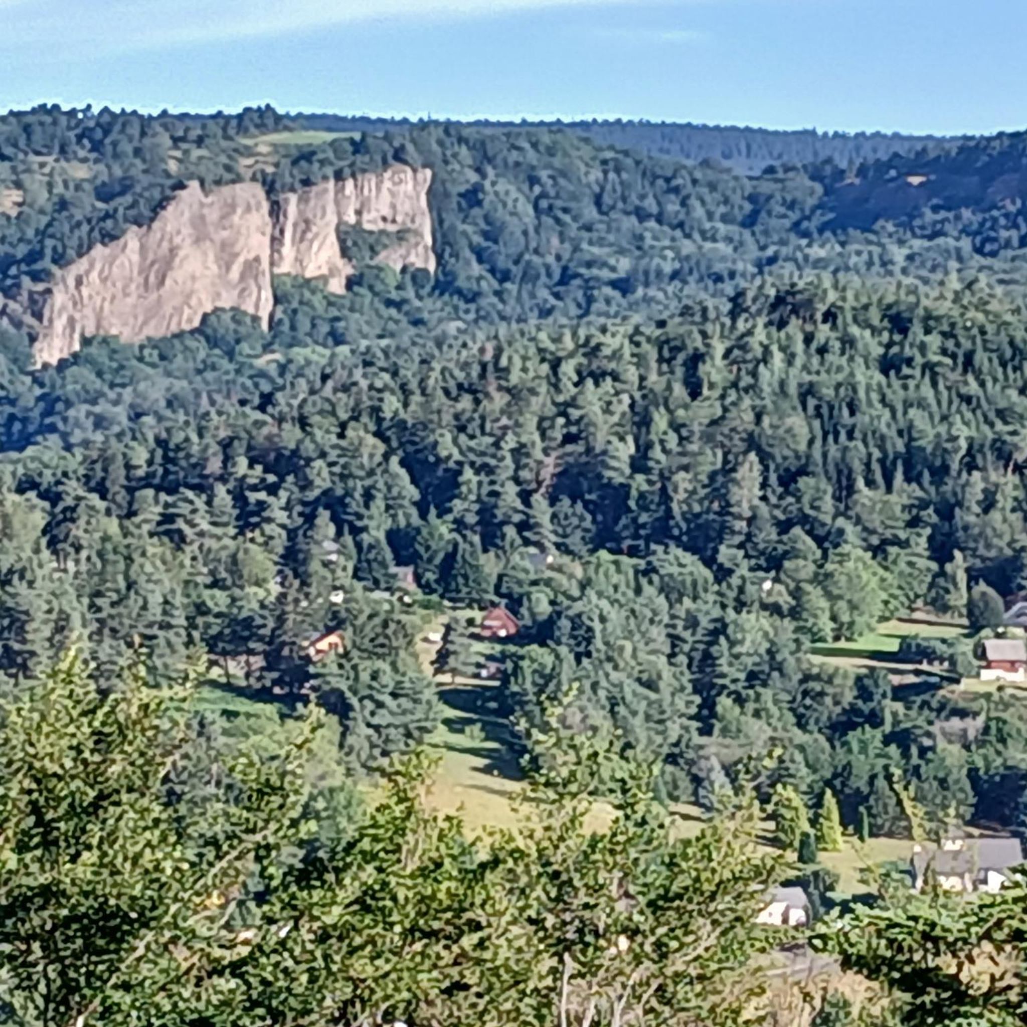
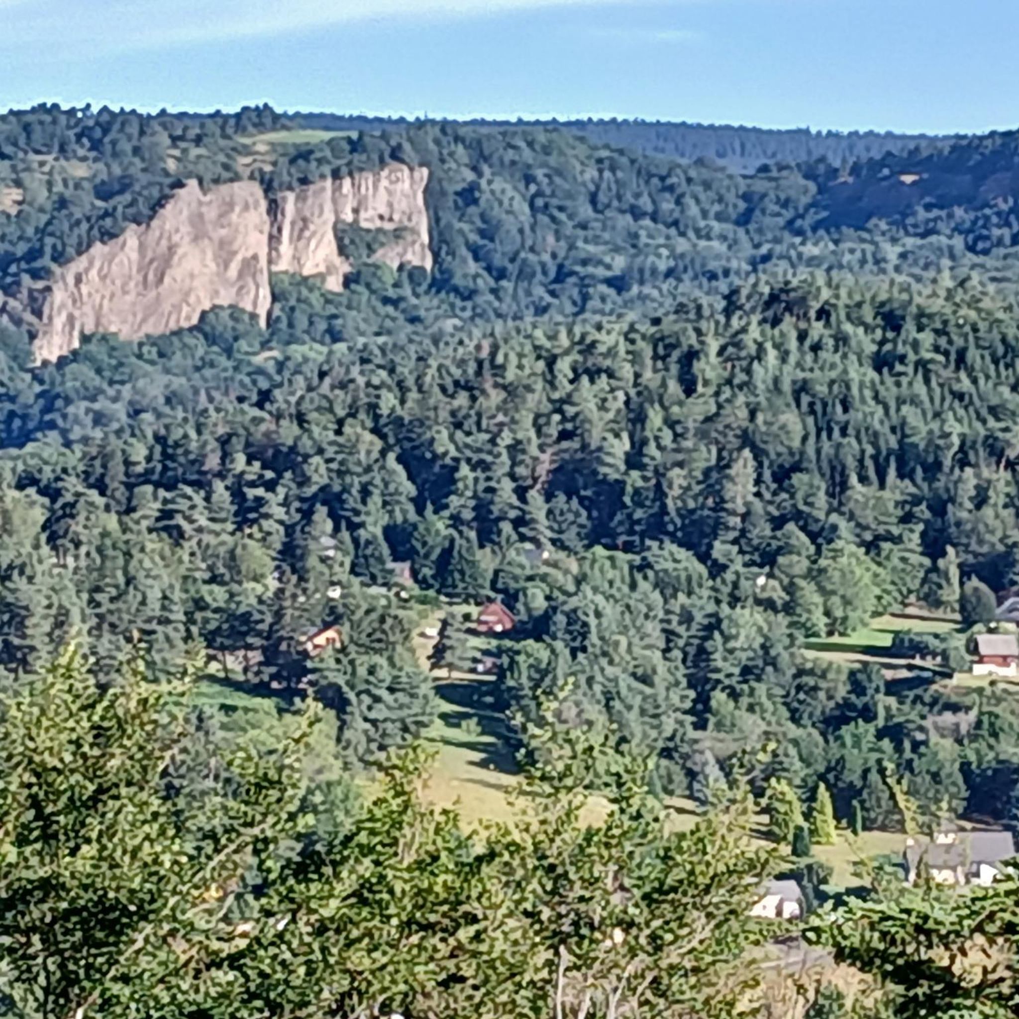
The troglodyte site of Jonas is a real fortress steeped in history. You can observe the caves below during a hike, but the place can also be visited if you want to spend more time discovering the place. Medieval tours are even organized to immerse yourself even more.
1
0
Frequently Asked Questions
What types of running routes are available around Saint-Diéry?
Saint-Diéry offers a diverse range of running routes, from tranquil paths along the Couze Pavin river to more challenging trails through volcanic landscapes and extensive forests. You'll find options suitable for various fitness levels, including easy riverside jogs and routes with significant elevation gain across plateaus offering panoramic views.
Are there easy jogging trails suitable for beginners or families in Saint-Diéry?
Yes, Saint-Diéry has several easy jogging trails. For instance, the Saillant Waterfall loop from Veirèiras is an easy 2.8-mile (4.5 km) path with minimal elevation, perfect for a relaxed run or a family outing. The region's extensive network includes many accessible paths, some taking up to two hours with moderate elevation gains.
Can I find running routes with scenic views or natural landmarks in the Saint-Diéry area?
Absolutely. The region is rich in natural beauty. Many trails offer continuous clear views of the Sancy and Guéry massifs and the Chaîne des Puys. You might also encounter unique geological formations like the Cheminée des Fées (Fairy Chimney). For specific natural attractions, consider exploring areas around Lake Pavin or Lac Chambon Beach, which offer beautiful circuits.
How many running trails are there in total around Saint-Diéry?
The Saint-Diéry area boasts an extensive network of over 200 running routes. These range from easy paths to moderate and difficult trails, ensuring there's something for every runner's preference and fitness level.
What do other runners enjoy most about the trails in Saint-Diéry?
The running routes in Saint-Diéry are highly rated by the komoot community, with an average score of 4.6 stars from over 80 reviews. Runners often praise the diverse volcanic terrain, the tranquil paths along the Couze Pavin river, and the extensive forests, which offer a varied and engaging running experience.
Are there any running routes that follow rivers or lakes?
Yes, the Couze Pavin river traverses the village, and trails along its banks provide tranquil routes, such as the La Couze, Springs Circuit – Saurier loop from Saint-Diéry. Additionally, nearby volcanic lakes like Lac Pavin and Lac Chambon offer beautiful circuits for runners.
Can I find challenging trail running options near Saint-Diéry?
Definitely. The wider Massif du Sancy, where Saint-Diéry is located, is renowned for its volcanic landscapes and offers challenging and scenic routes. Many trails are classified as difficult, featuring significant elevation changes, such as the Saurier loop from Saurier, which covers 8.8 miles (14.2 km) with substantial climbs.
Are there any circular running routes available?
Many of the running routes around Saint-Diéry are designed as loops, offering convenient circular options. Examples include the Saillant Waterfall loop from Veirèiras and the La Couze, Springs Circuit – Saurier loop from Saint-Diéry, allowing you to start and finish at the same point.
What kind of terrain should I expect on the running trails?
You'll encounter varied terrain, reflecting the region's unique geology. This includes paths over ancient lava flows, along riverbanks, through dense forests, and across open plateaus. Some routes feature sunken roads and wider tracks, while others present more rugged volcanic landscapes.
Are there any notable attractions or villages to explore near the running paths?
Beyond the natural beauty, the region is dotted with charming hamlets and historical sites. You can explore places like Besse or Besse-et-Saint-Anastaise, which reveal a rich rural heritage including castles, chapels, and old washhouses. The trails often pass through or near these picturesque locations.
What is the typical duration for running routes in Saint-Diéry?
Running routes vary significantly in duration. Shorter, easier paths like the Saillant Waterfall loop can be completed in about 30 minutes, while longer, more challenging routes such as the Saint-Nectaire – Château de Murol loop from Issoire can take several hours, up to 5 hours or more, depending on your pace and fitness level.
Most popular routes around Saint-Diéry
Most popular attractions around Saint-Diéry

Get inspired with the komoot mobile app


Explore more
Browse the best Running Trails & Routes in other regions.
