The best road cycling routes around Saint-Diéry
4.7
(188)
5,752
riders
144
rides
Road cycling around Saint-Diéry, located in the Puy-de-Dôme department of France, offers varied terrain shaped by its unique volcanic landscapes. Situated at altitudes between 600 and 800 meters, the area features rolling hills and challenging climbs. The region is traversed by the Couze Pavin river and is in proximity to volcanic lakes such as Lac Chambon and Lac Pavin, providing diverse scenic backdrops. This environment is characterized by the volcanic formations of the Chaîne des Puys and Monts Dore, making…
Last updated: July 1, 2026
4.9
(12)
270
riders
67.2km
03:37
1,300m
1,300m
Hard road ride. Very good fitness required. Mostly well-paved surfaces and easy to ride.
4.4
(18)
516
riders
54.6km
02:45
930m
930m
Hard road ride. Very good fitness required. Mostly well-paved surfaces and easy to ride.

Sign up for free
5.0
(2)
105
riders
83.0km
04:12
1,410m
1,410m
Hard road ride. Very good fitness required. Mostly well-paved surfaces and easy to ride.
5.0
(2)
94
riders
56.9km
02:54
940m
940m
Hard road ride. Very good fitness required. Mostly well-paved surfaces and easy to ride.
5.0
(2)
93
riders
47.2km
02:32
930m
930m
Hard road ride. Very good fitness required. Mostly well-paved surfaces and easy to ride.
Get access to more routes and recommendations from other explorers.
Sign up for free
Already have an account?
Our route recommendations are based on thousands of hikes, rides, and runs completed by other people on komoot.
Start today with a free account
Your next adventure awaits.
Login or Signup
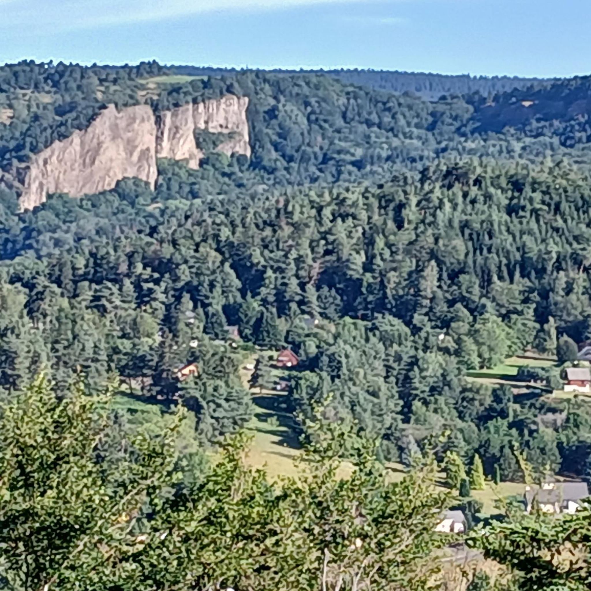
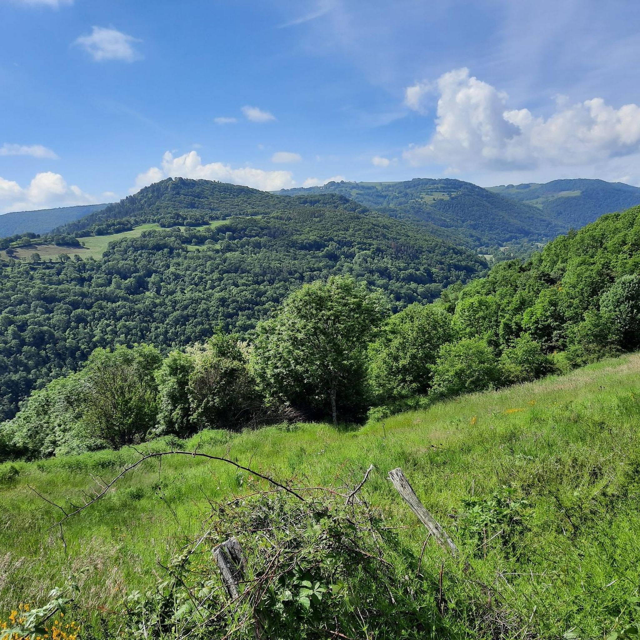
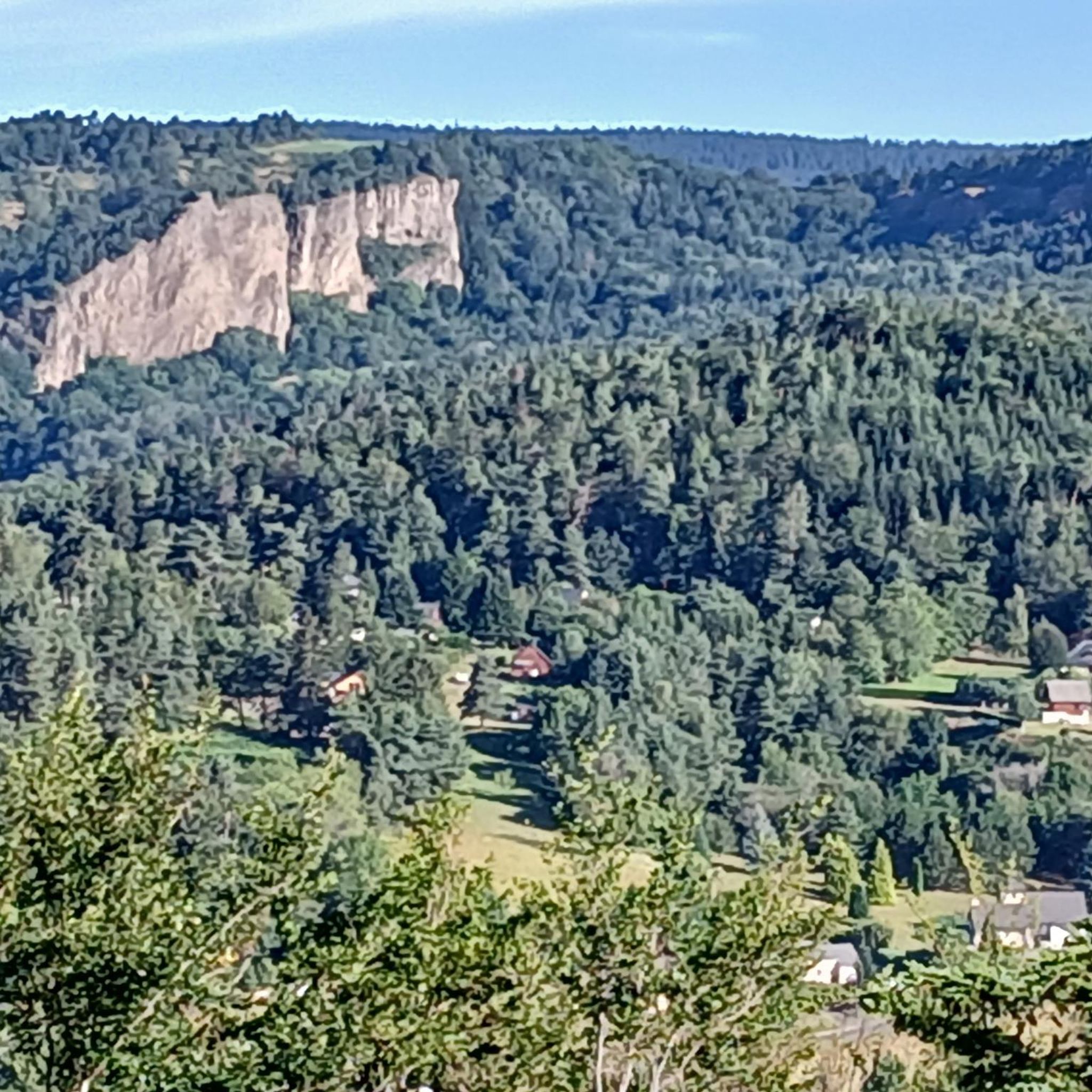

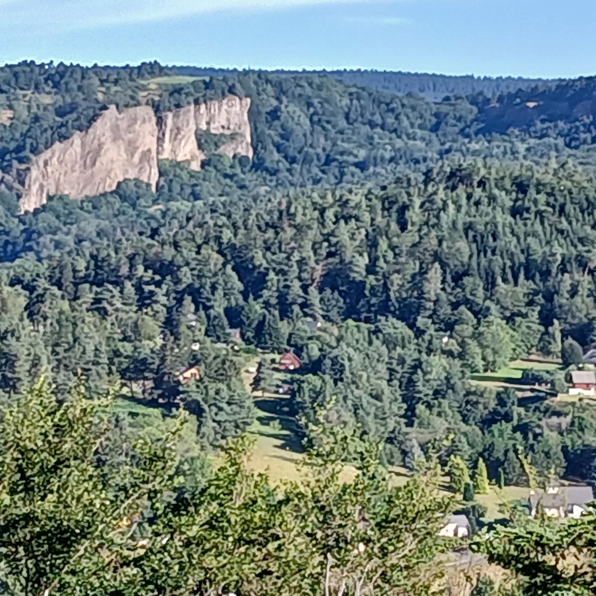
Tips from the Community


A wonderful pass, superb landscapes! And a very beautiful route
1
0

Pleasant and fairly easy. Beautiful route.
0
0

Why didn't you make the Luguet signal? You have to go through Parrot... a place called. After the GR path... to the Luguet woods.
0
0

A challenge with full luggage, as the Robert Pass is currently closed. Traffic was quite bearable. The pass hut was rather busy, but it was also Whitsun. I can't imagine what would have been like if the weather had been perfect.
0
0
Nice little bustling place. Luckily the weather wasn't so good, otherwise there would definitely be more going on. More info: https://de.wikipedia.org/wiki/Murol?wprov=sfla1.
0
0
Frequently Asked Questions
What kind of terrain can I expect when road cycling around Saint-Diéry?
The region around Saint-Diéry is characterized by its unique volcanic landscapes, offering a varied terrain. You'll encounter rolling hills and challenging climbs, with altitudes ranging between 600 and 800 meters. Expect a mix of ascents and descents through forests, alongside fast-flowing streams, and across rugged plateaus, all set against the picturesque backdrop of the Chaîne des Puys and Monts Dore.
How many road cycling routes are available in the Saint-Diéry area?
There are over 150 road cycling routes available around Saint-Diéry on komoot, catering to various skill levels. This includes 13 easy routes, 60 moderate routes, and 78 difficult routes, ensuring options for every cyclist.
Are there challenging climbs for experienced road cyclists?
Yes, Saint-Diéry is known for its challenging 'middle mountain' characteristics and numerous demanding climbs. The area features several notable Cols, such as Col de la Croix Morand, Col de Guéry, Col de Croix Saint Robert, Col de Vendeix, and Col de la Sœur, which provide significant elevation gains and rewarding views. Routes like the Col de la Geneste (1372 m) – Chastreix loop from Murol offer over 1,700 meters of elevation gain.
What natural attractions can I see along the road cycling routes?
Road cycling routes in Saint-Diéry often pass by stunning natural features. You can discover volcanic lakes like Lake Pavin and Lac Chambon, offering remarkable views. The region is also home to the Couze Pavin river and features like the 'Cheminée des Fées' (Curled Lady), an impressive geological formation. Some routes, such as the Voissières Waterfall – Château de Murol loop from Saint-Nectaire, will take you past beautiful waterfalls like the Voissières Waterfall.
Are there any historical landmarks or charming villages to explore on a road bike?
Absolutely. The region boasts a rich rural heritage. You can cycle through charming villages with medieval castles, such as the private medieval castle in Saint-Diéry-le-Bas, ancient chapels like the Creste chapel with its panoramic views, and traditional bread ovens and washhouses. The Voissières Waterfall – Château de Murol loop from Saint-Nectaire is one route that leads through varied terrain with historical landmarks.
What do other road cyclists enjoy most about the routes in Saint-Diéry?
The road cycling routes in Saint-Diéry are highly rated by the komoot community, with an average score of 4.7 stars from over 200 reviews. Cyclists frequently praise the diverse volcanic landscapes, the challenging yet rewarding climbs, and the scenic routes alongside rivers and lakes. The variety of options, from easier rides to demanding ascents, is also a highlight for many.
Are there any easy or beginner-friendly road cycling routes around Saint-Diéry?
Yes, while the region is known for its challenging terrain, there are 13 easy road cycling routes available. These routes often feature quieter roads, particularly around lakes like Lac d'Aydat, and lead through woods, providing a more leisurely experience for beginners or those seeking a less strenuous ride.
Can I find loop routes for road cycling in Saint-Diéry?
Many of the road cycling routes around Saint-Diéry are designed as loops, allowing you to start and finish in the same location. Examples include the Croix Morand Pass – Col de la Croix Morand loop from Murol and the Château de Murol – La Godivelle loop from Murol, providing convenient circular journeys.
What is the best time of year for road cycling in Saint-Diéry?
The region's 'middle mountain' climate makes it ideal for road cycling during the warmer months, typically from late spring through early autumn. This period offers the most favorable weather conditions for enjoying the varied terrain, scenic views, and outdoor activities without the challenges of winter snow or ice on higher passes.
Are there long-distance road cycling routes available?
Yes, Saint-Diéry offers several longer road cycling routes for those seeking extended rides. For example, the Col de la Geneste (1372 m) – Chastreix loop from Murol is a difficult 91.8 km (57.0 miles) trail, providing a significant challenge and a full day's adventure for experienced cyclists.
Are there routes that offer panoramic viewpoints?
Many routes in the Saint-Diéry area provide spectacular panoramic views, especially those that ascend to higher elevations or pass by volcanic lakes. The Croix Morand Pass – Col de la Croix Morand loop from Murol is particularly noted for offering extensive panoramic views across the volcanic landscapes.
Most popular routes around Saint-Diéry
Most popular attractions around Saint-Diéry

Get inspired with the komoot mobile app


Explore more
Browse the best Road cycling routes in other regions.
