The best cycling routes around Breitenau
4.4
(239)
2,413
riders
133
rides
Touring cycling around Breitenau features routes that traverse forested hills and mountain passes, offering varied terrain for cyclists. The region is characterized by its elevation changes, with routes often including significant climbs and descents. These paths wind through natural landscapes, providing opportunities for both challenging rides and more leisurely excursions.
Best touring cycling routes around Breitenau
- The most popular touring cycling route is Bike route in forest – 20% Gradient Warning Sign loop from Lalaye, a 23.3 miles (37.5…
Last updated: October 8, 2026
4.9
(29)
84
riders
30.9km
02:03
190m
190m
Moderate bike ride. Good fitness required. Mostly paved surfaces. Suitable for all skill levels.
4.5
(11)
97
riders
Moderate bike ride. Good fitness required. Mostly paved surfaces. Suitable for all skill levels.

4.5
(2)
41
riders
48.1km
03:35
1,170m
1,170m
Hard bike ride. Very good fitness required. Mostly paved surfaces. Suitable for all skill levels.
4.5
(4)
92
riders
62.2km
04:50
1,690m
1,690m
Hard bike ride. Very good fitness required. Mostly paved surfaces. Suitable for all skill levels.
18
riders
40.4km
03:53
1,020m
1,020m
Hard bike ride. Very good fitness required. Mostly paved surfaces. Suitable for all skill levels.
Get access to more routes and recommendations from other explorers.
Already have an account?
Our route recommendations are based on thousands of hikes, rides, and runs completed by other people on komoot.
Start today with a free account
Your next adventure awaits.

Tips from the Community

The Champ du Feu, at 1099 meters, is the highest mountain in the Bas-Rhin department in the Vosges in Alsace. It is located between the towns of Belmont and Le Hohwald and consists of a vast plateau with forests, meadows, and moorlands. The area is a popular nature and recreational area. In summer, it is mainly used for hiking, mountain biking, and nature observation. In winter, there is a small ski area with cross-country trails and simple slopes for winter sports. From the Champ du Feu, the La Serva stream originates, which later forms the Cascade de la Serva. In clear weather, the summit offers wide views over the Vosges, the Rhine plain, and even the Black Forest. The area is particularly known for its quiet nature, high moors, sunrises and starry skies, as well as well-marked hiking trails.
0
0

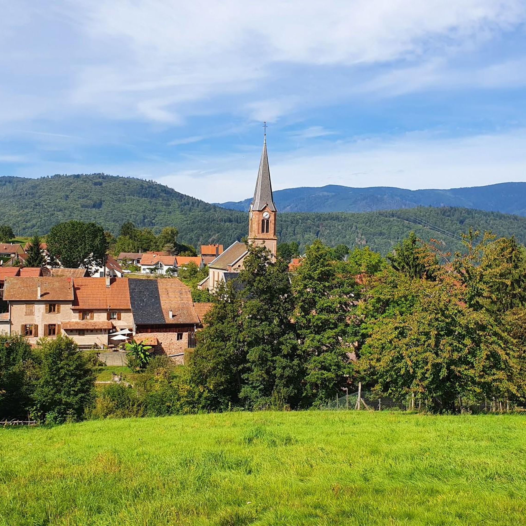
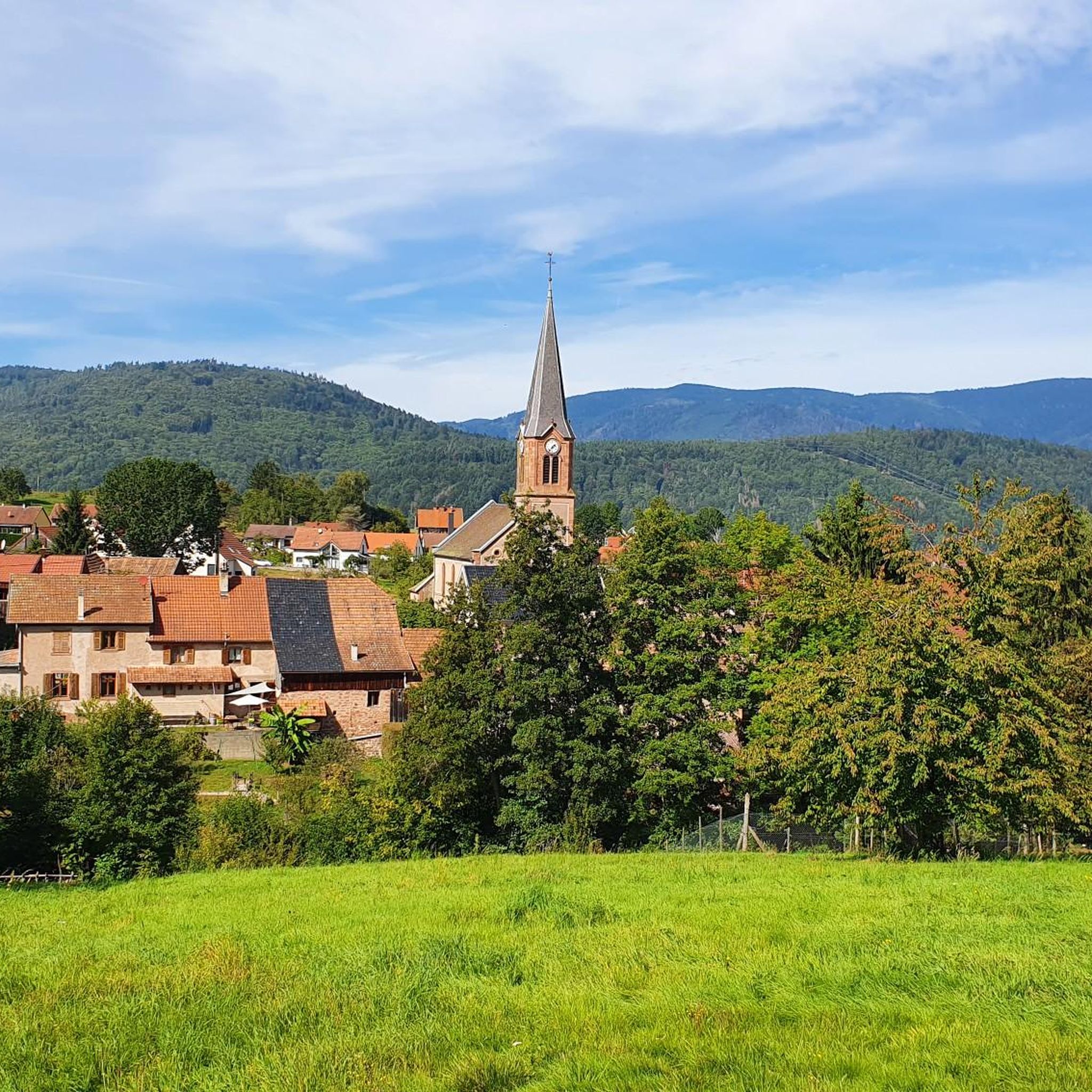
Beautiful little village on the way to Santiago de Compostela coming from Germany.
0
0


Bernstein Castle (French: Château du Bernstein) is the ruins of a medieval hilltop castle near the municipality of Dambach-la-Ville in Lower Alsace. According to legend, its name derives from "bear stone" and not from the name for fossilized resin. A nearby rock is called Falkenstein.
0
0
During the German occupation in World War II, the Scherwiller synagogue was used as a camp for Polish forced laborers. The remaining Jewish residents of the town were deported to southern France in 1940. According to Yad Vashem, thirteen former residents fell victim to the Final Solution.
0
0

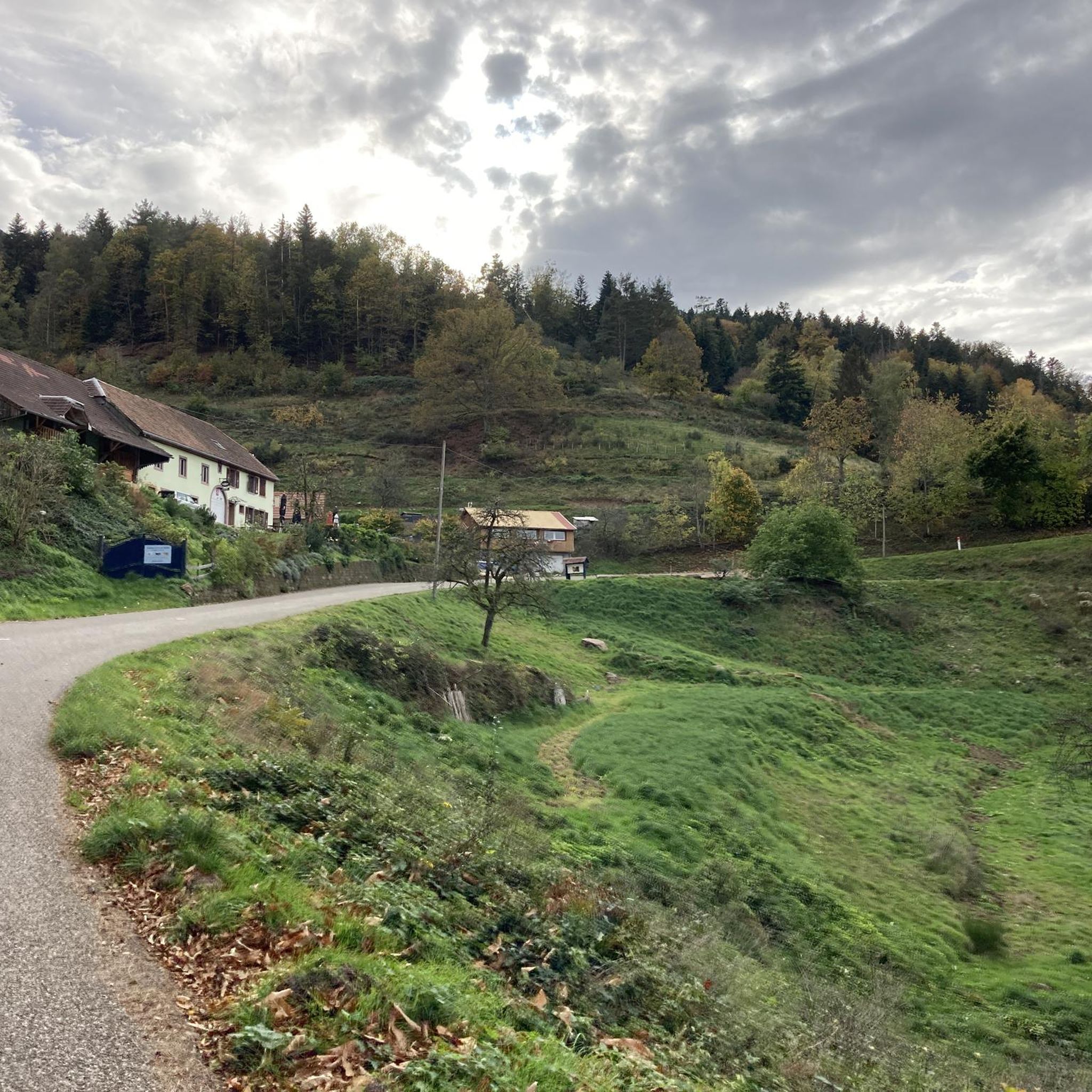
Magnificent pass to climb from different slopes (Breitenbach, Steige, Vallée de la Bruche, Andlau). It is also a crossing point towards the Champ du feu, the Hohwald, the Mont Ste Odile.
0
0

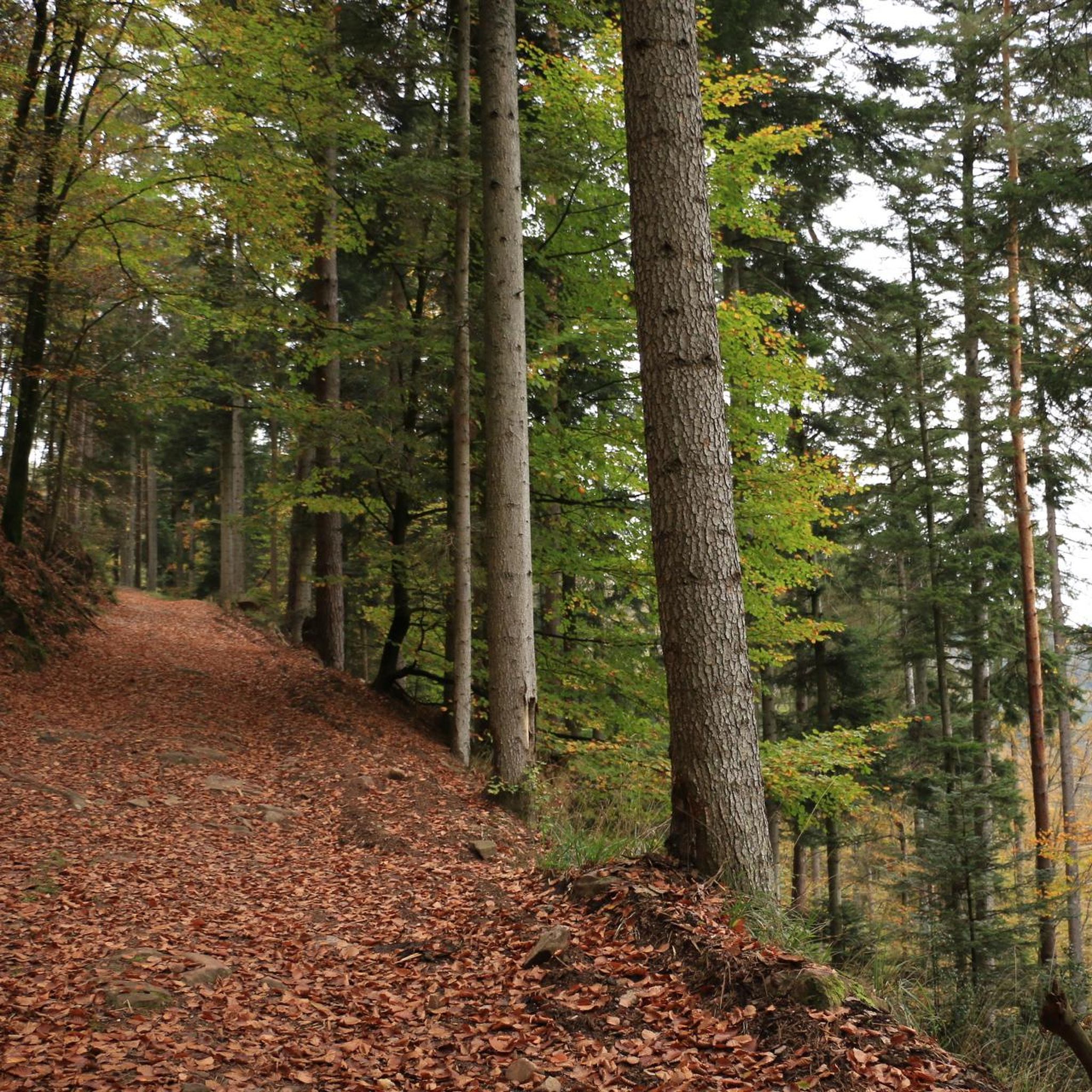
The route is completely paved and essentially car-free, as signs prohibit it. Nevertheless, someone occasionally drives along here. The route is very pleasant and beautiful, tucked away in the forest.
0
0
Frequently Asked Questions
How many touring cycling routes are available around Breitenau?
There are over 140 touring cycling routes around Breitenau, offering a wide variety of options for different skill levels and preferences. The region is known for its forested hills and mountain passes.
Are there any easy touring cycling routes in Breitenau suitable for beginners or families?
Yes, Breitenau offers several easy touring cycling routes. For a relaxed experience, consider the Bike loop from Villé, an easy 24.1 km path that provides a gentle introduction to the area's cycling. There are 15 easy routes in total.
What kind of terrain can I expect on touring cycling routes in Breitenau?
Touring cycling routes in Breitenau are characterized by varied terrain, including forested hills and mountain passes. You can expect elevation changes, with routes featuring both significant climbs and descents, as well as more leisurely sections through natural landscapes.
Are there any challenging touring cycling routes for experienced cyclists?
Absolutely. Breitenau is well-suited for experienced cyclists seeking a challenge. Routes like the Bike route in forest – 20% Gradient Warning Sign loop from Lalaye, a difficult 37.5 km trail with significant gradients, are popular. Another demanding option is the Charbonnière Pass – Champ du Feu loop from Saint-Martin, covering 52.6 km through mountain passes. There are 89 difficult routes in the area.
What are some scenic stops or natural landmarks I can see along the touring cycling routes?
Many routes offer scenic views and pass by notable natural landmarks. You can cycle past impressive peaks like Champ du Feu or the unique Rocher de la Paix d'Udine. Mountain passes such as Col de Steige also provide stunning vistas.
Are there any circular touring cycling routes in Breitenau?
Yes, many touring cycling routes in Breitenau are designed as loops, bringing you back to your starting point. This makes planning easier and allows you to fully immerse yourself in the scenery. Examples include the Bike route in forest – 20% Gradient Warning Sign loop from Lalaye and the Bike loop from Villé.
What do other touring cyclists say about the routes in Breitenau?
The touring cycling routes in Breitenau are highly regarded by the komoot community, with an average rating of 4.38 stars from over 260 reviews. Cyclists often praise the varied terrain, the challenge of the mountain passes, and the beauty of the forested landscapes.
What is the best season for touring cycling in Breitenau?
The region's dense forests and rolling hills are particularly vibrant in spring and autumn, making these seasons ideal for touring cycling. While routes are accessible year-round, checking local weather conditions is always recommended, especially for higher elevations and mountain passes.
Are there any moderate touring cycling routes for those looking for a balanced challenge?
Yes, Breitenau offers a good selection of moderate routes. The Col de Steige – View of Steige loop from Saint-Martin is a moderate 28.2 km route that provides a balanced challenge with rewarding views. There are 41 moderate routes available.
Can I find routes that take me through mountain passes?
Many routes in Breitenau feature mountain passes, offering both challenging climbs and panoramic views. The Climont – Urbeis Pass loop from Saint-Martin is a difficult route that takes you through significant mountain passes, providing a true alpine cycling experience.
What are the typical durations for touring cycling routes in Breitenau?
Route durations vary significantly based on distance and difficulty. Easy routes like the Bike loop from Villé can be completed in about 1 hour 36 minutes, while more challenging routes such as the Charbonnière Pass – Champ du Feu loop from Saint-Martin might take around 3 hours 42 minutes.
Most popular routes around Breitenau
Most popular attractions around Breitenau

Get inspired with the komoot mobile app


Explore more
Browse the best Cycling routes in other regions.
