The best road cycling routes around Breitenau
4.5
(99)
2,006
riders
56
rides
Road cycling routes around Breitenau traverse a landscape characterized by significant elevation changes and winding roads, typical of a hilly region. The area features numerous passes and loops, offering varied terrain for road cyclists, including sustained climbs and descents. Located near the Almenland Nature Park, routes often provide views across alpine pastures and through orchard regions. This diverse topography supports a range of road cycling experiences, from moderate loops to challenging ascents.
Best road cycling routes around Breitenau
- The most…
Last updated: July 5, 2026
4.3
(3)
104
riders
49.1km
02:50
1,090m
1,090m
Hard road ride. Very good fitness required. Some segments of this route may be unpaved and difficult to ride.
4.2
(6)
69
riders
66.9km
03:30
1,220m
1,220m
Hard road ride. Very good fitness required. Mostly well-paved surfaces and easy to ride.

Sign up for free
32
riders
36.8km
01:50
380m
380m
Moderate road ride. Good fitness required. Some segments of this route may be unpaved and difficult to ride.
5.0
(1)
21
riders
61.7km
02:40
370m
370m
Moderate road ride. Good fitness required. Some segments of this route may be unpaved and difficult to ride.
10
riders
20.5km
00:54
180m
180m
Easy road ride. Great for any fitness level. Mostly well-paved surfaces and easy to ride.
Get access to more routes and recommendations from other explorers.
Sign up for free
Already have an account?
Our route recommendations are based on thousands of hikes, rides, and runs completed by other people on komoot.
Start today with a free account
Your next adventure awaits.
Login or Signup

Tips from the Community

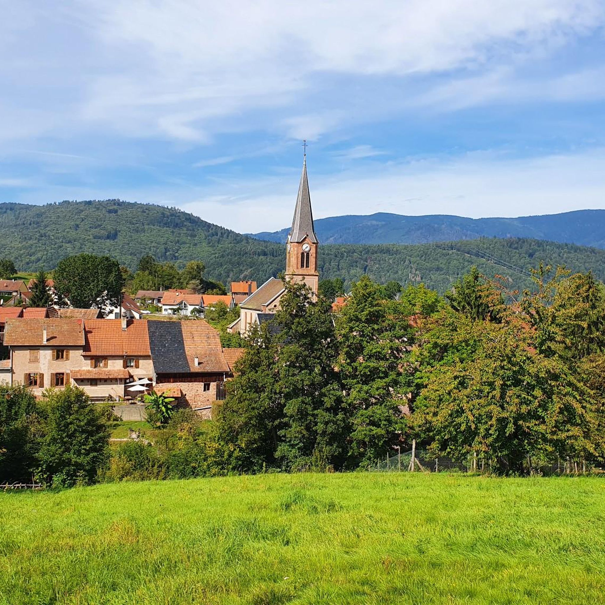
This beautiful, idyllic spot in Blienschwiller (formerly Blienschweiler) is located in the village center on the Route des Vins, or on the Euro Vélo 5 or EV5, which runs here along the D35. According to the 2023 census, about 300 inhabitants live in Blienschwiller. The village is located at the eastern foot of the Northern Vosges in the Bas Rhin department in the Arrondissement of Sélestat-Erstein. The main economic sector of the village is arable farming and viticulture.
1
0

Very nice town center
0
0

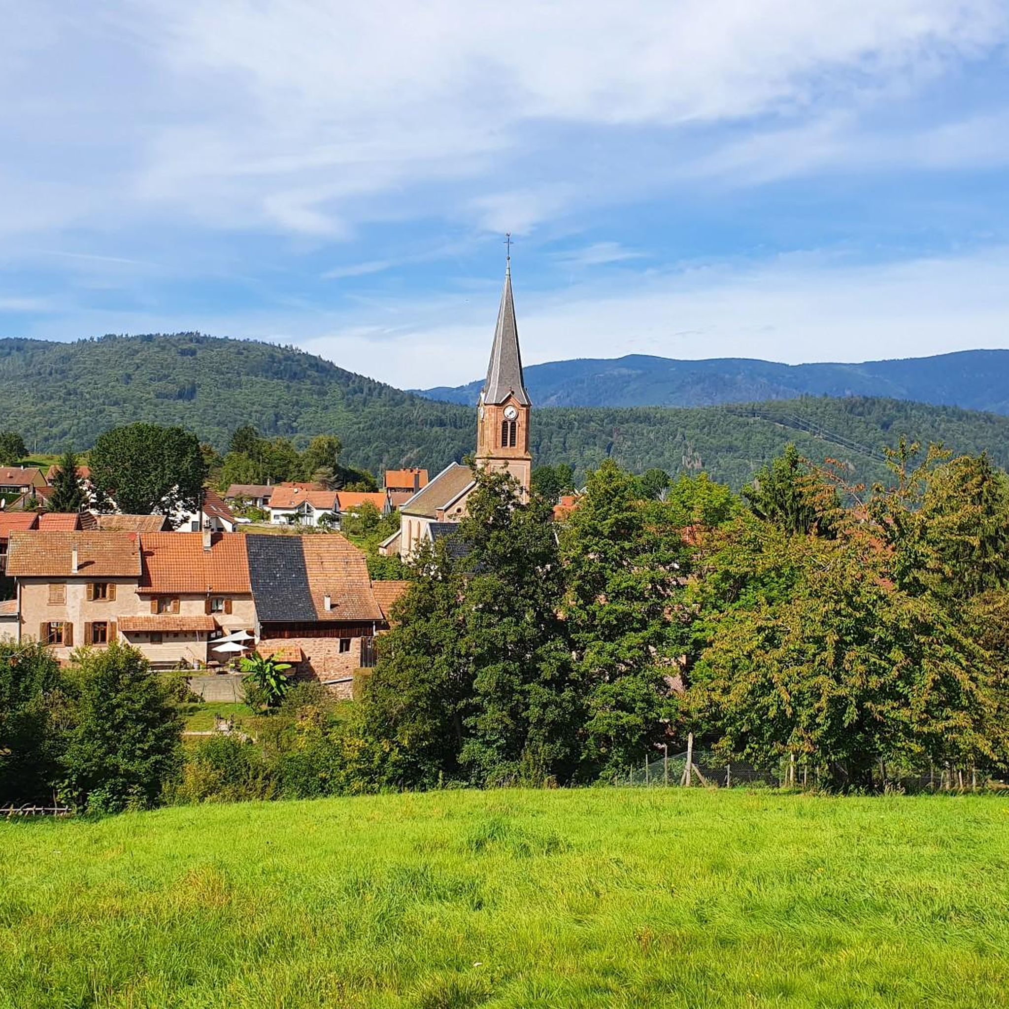
Taennelkreuz Chapel is located in the middle of the vineyards at an elevation of 208 meters. This chapel was built in 1905 and dedicated to the Holy Cross on September 23, 1906. With a cruciform floor plan and a neo-Gothic style, it is located in the middle of the vineyard at the foot of the Rittersberg.
6
0

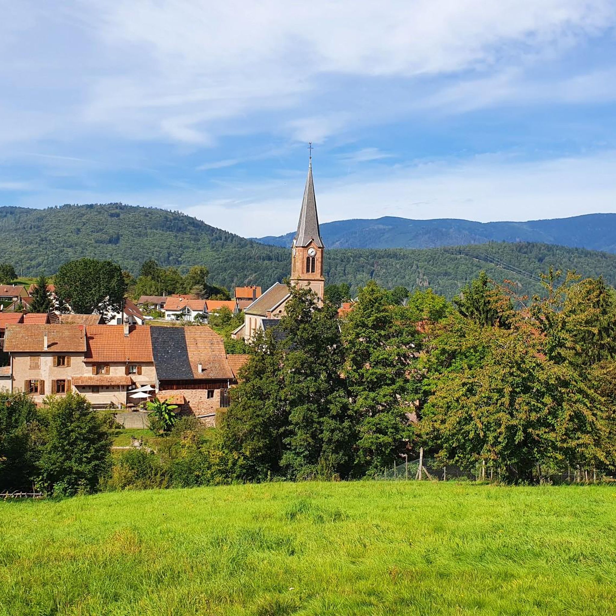
Fountain with cool drinking water in Fouchy on Rue Principale in the town center.
0
0
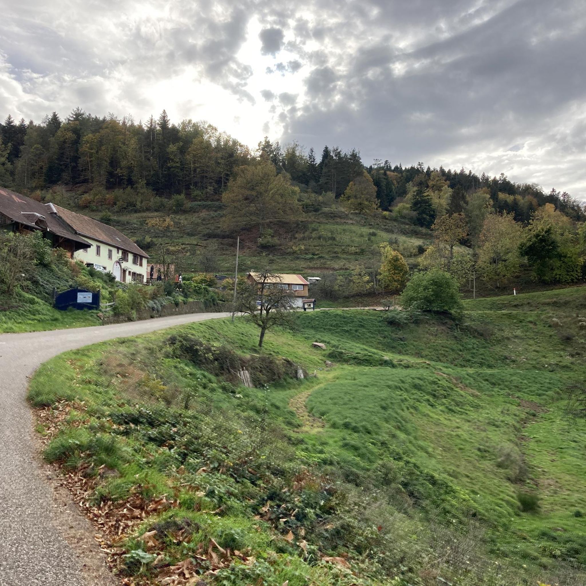
A fountain with cool drinking water, idyllically located in Neubois on Rue Principale at the end of the village, towards Dieffenbach-au-Val.
0
0

Magnificent pass to climb from different slopes (Breitenbach, Steige, Vallée de la Bruche, Andlau). It is also a crossing point towards the Champ du feu, the Hohwald, the Mont Ste Odile.
0
0
A classic Vosges pass, quite accessible and magnificent!
0
0
Frequently Asked Questions
How many road cycling routes are available around Breitenau?
There are over 60 road cycling routes around Breitenau, offering a diverse range of experiences for cyclists. These routes traverse varied landscapes, from challenging mountain passes to scenic loops through rolling hills.
What is the overall difficulty level of road cycling routes in Breitenau?
The road cycling routes in Breitenau cater to various skill levels. You'll find 4 easy routes, 36 moderate routes, and 22 difficult routes, ensuring options for both casual riders and those seeking a significant challenge with considerable elevation gain.
What do other cyclists say about road cycling in Breitenau?
The road cycling routes in Breitenau are highly rated by the komoot community, with an average score of 4.6 stars from nearly 100 reviews. Cyclists often praise the varied terrain, challenging climbs, and scenic beauty of the region.
Are there road cycling routes suitable for beginners in Breitenau?
Yes, Breitenau offers 4 easy road cycling routes that are suitable for beginners or those looking for a less strenuous ride. These routes typically feature gentler gradients and shorter distances, allowing for a more relaxed exploration of the area.
Where can I find challenging road cycling routes with significant climbs?
For experienced cyclists seeking a challenge, Breitenau has 22 difficult road cycling routes. These often include sustained climbs and descents, characteristic of a hilly or mountainous region. A notable example is the Col de Steige – Charbonnière Pass loop from Col de Fouchy, which features over 1,090 meters of elevation gain.
What kind of landscapes can I expect to see while road cycling in Breitenau?
Road cycling in Breitenau offers diverse landscapes. Depending on the specific Breitenau location, you might encounter mountainous backdrops like the Hochlantsch in Austria's Almenland Nature Park, dense forests and rolling hills in Germany's Westerwald, or lush forests and high plateaus in Lower Austria. Many routes feature scenic views and natural beauty.
Are there any interesting landmarks or attractions along the road cycling routes?
Yes, several routes pass by interesting landmarks. For instance, you can explore mountain passes such as Champ du Feu or Haut de Ribeauvillé Pass. Some routes also lead near various huts and shelters, like the Kutzig Buech Shelter, offering points of interest during your ride.
Are there any moderate-difficulty loop routes for road cycling?
Yes, Breitenau features 36 moderate routes, many of which are loops. An example is the Church with three steeples – Fountain in Blinschwiller loop from Lalaye, which covers 69.2 km with over 376 meters of ascent, offering a balanced mix of terrain.
What is the best time of year for road biking in Breitenau?
The best time for road biking in Breitenau generally depends on the specific location. For areas like Breitenau in Westerwald, Germany, spring and autumn are ideal due to mild weather and vibrant natural colors. Mountainous regions like Breitenau am Hochlantsch in Austria are best enjoyed from late spring through early autumn to avoid snow and ensure clear passes.
Are there any routes that offer views of lakes or water features?
While not directly part of the listed routes, the broader Breitenau region (depending on the specific location) includes scenic water features. For example, Breitenau am Hochlantsch in Austria is near the Teichalmsee lake, and Breitenau Lake near Heilbronn, Germany, is known for its scenic views. Some routes may offer glimpses of these or other local streams and rivers.
Are there any road cycling routes that pass through historic areas or villages?
Yes, some road cycling routes in the Breitenau regions offer opportunities to pass through historic areas. For instance, in Breitenau in Westerwald, Germany, you might cycle near historic town centers with half-timbered houses or even Altenstein Castle, which provides spectacular views. In Breitenau am Hochlantsch, Austria, pilgrimage churches like St. Erhard are notable cultural attractions along the way.
Can I find routes that are a good balance of distance and elevation?
Absolutely. Many of the moderate routes in Breitenau offer a good balance. For example, the Well with drinking water – Chateau loop from Lalaye is 32.6 km long with 285 meters of elevation gain, providing a rewarding ride without being overly demanding.
Most popular attractions around Breitenau

Get inspired with the komoot mobile app


Explore more
Browse the best Road cycling routes in other regions.
