The 20 Most Amazing Peaks around Saint-Paul-Sur-Ubaye
Best mountain peaks around Saint-Paul-Sur-Ubaye are situated in the Ubaye Valley of the French Alps, a region distinguished by its concentration of high-altitude peaks. The commune features more than 30 peaks exceeding 3,000 meters in altitude, providing a true high mountain experience. This area offers diverse ecosystems and a rich array of outdoor activities, making its mountains a notable destination for hikers and mountaineers.
Best mountain peaks around Saint-Paul-Sur-Ubaye
- The most popular mountain peaks is Colle Greguri (Greguri Pass),…
Last updated: July 6, 2026
Colle Greguri (Greguri Pass)
Highlight • Mountain Pass
Translated by Google •
Tip by

Pain de Sucre Summit
Highlight • Summit
Translated by Google •
Tip by

Sign up now to discover places like this
Get recommendations on the best single tracks, peaks, & plenty of other exciting outdoor places.
Sign up for free
Maljasset
Highlight • Summit
Between the mountains, the hamlet offers two gîtes which make an excellent stopover …
Translated by Google •
Tip by

Tête de la Frema
Highlight • Summit
Translated by Google •
Tip by
Rocca Senghi
Highlight • Natural Monument
Translated by Google •
Tip by

Sign up for free to discover even more peaks around Saint-Paul-Sur-Ubaye.
Sign up for free
Already have an account?
Start today with a free account
Your next adventure awaits.
Login or Signup
Popular around Saint-Paul-Sur-Ubaye
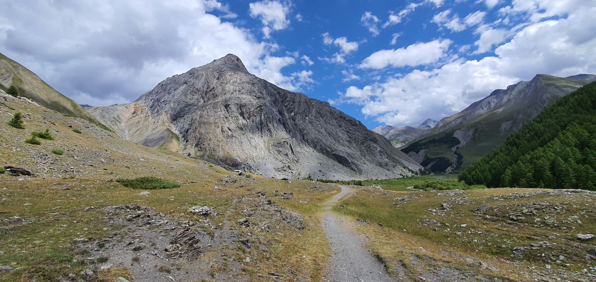
Western trans-alpine crossing – pure adventure on your mountain bike
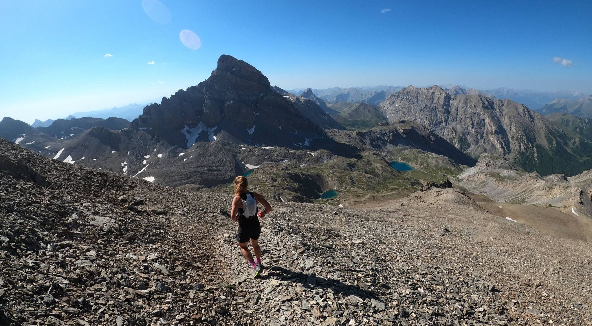
Trail running in the mountain peaks from Barcelonnette
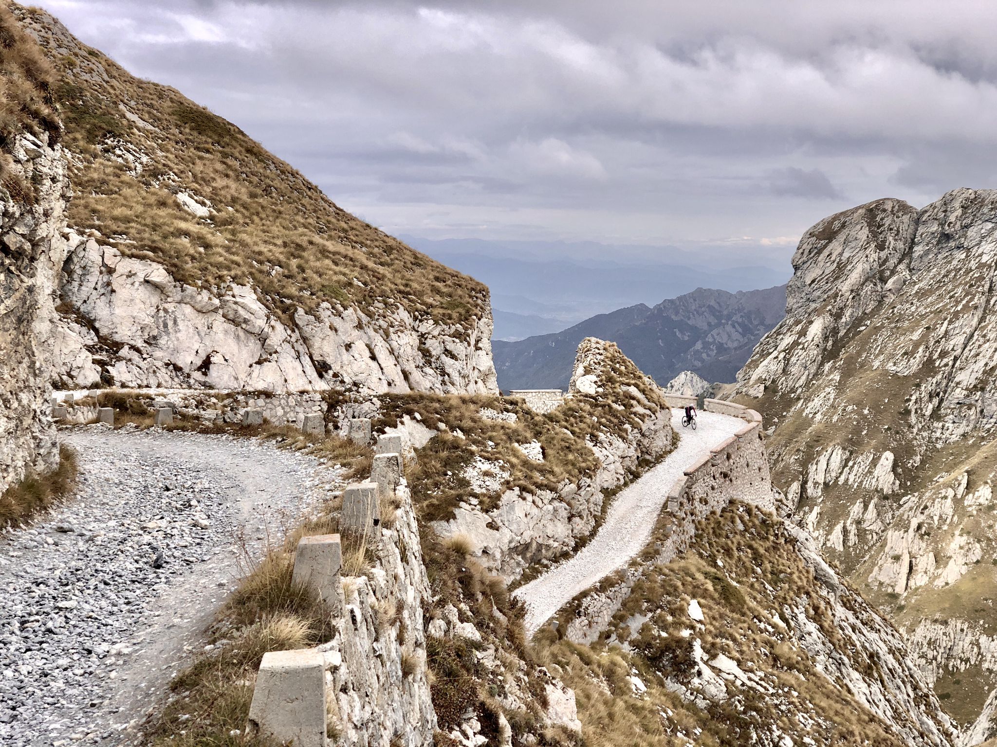
Rough and tough – spectacular gravel loops in the Alps

Hike from Saint-Étienne-de-Tinée to Briançon – Europe Trail (GR 5)

Mountains and marmots — France’s Ubaye trail (GR 56)

High mountain escapades — 15 peaks over 3,000m in the Alps
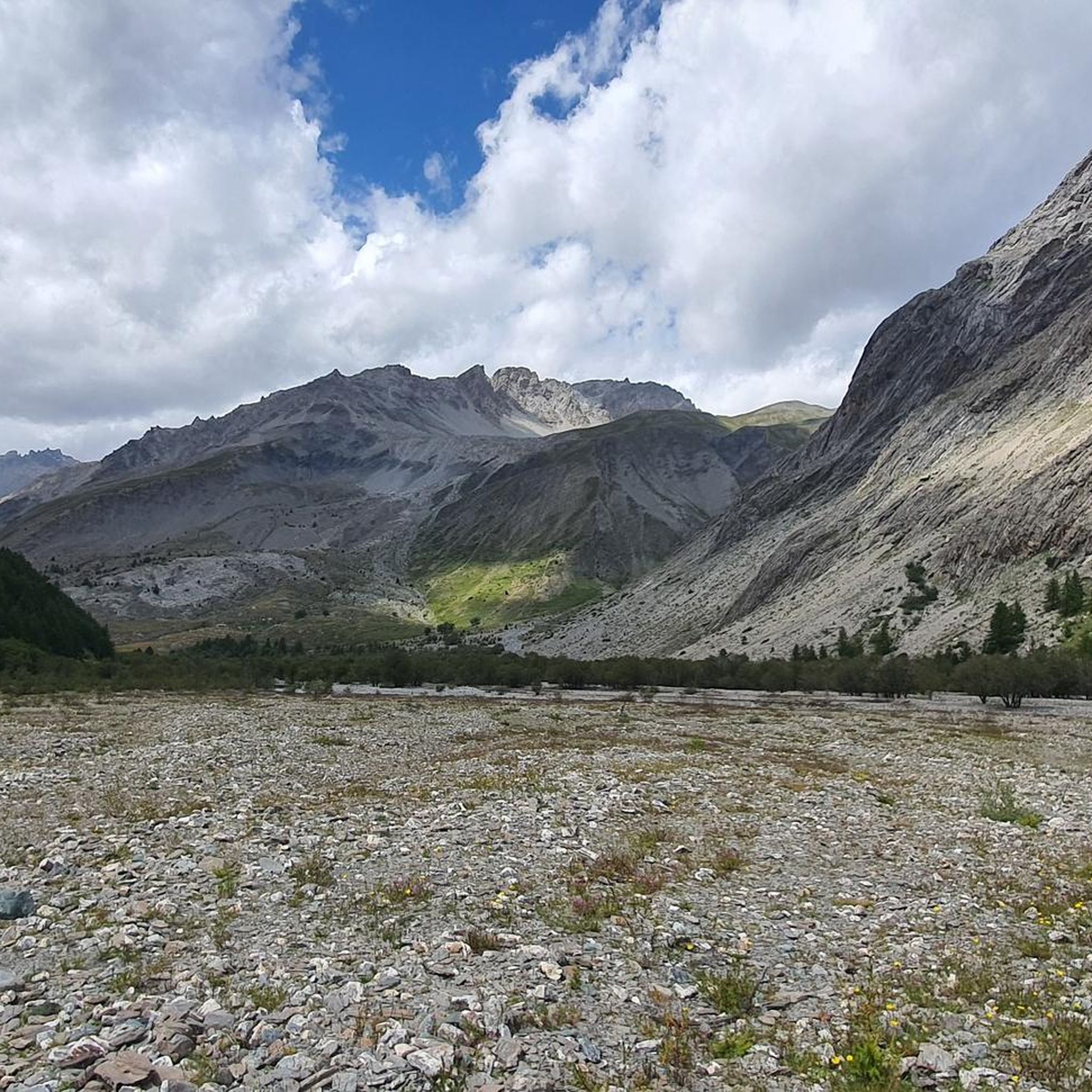
Hiking around Saint-Paul-Sur-Ubaye
Cycling around Saint-Paul-Sur-Ubaye
Road Cycling Routes around Saint-Paul-Sur-Ubaye
Running Trails around Saint-Paul-Sur-Ubaye
Other adventures around Saint-Paul-Sur-Ubaye


Tips from the Community


https://youtu.be/JFu9Uf70ECw?si=5jd76ATJkKHsYo-D The village is quite high up, and beyond that, there's nothing else except a church. The lonely church looks like it could be in Mexico, with its wall and arched entrance. Tourists can get food here.
0
0

It can be reached on a good, not difficult path in about 1.40 hours, and offers an excellent view of Chiappera and the surrounding Dolomite peaks.
0
0


Beautiful excursion to reach the summit at 2450m, passing through a series of hairpin bends on a very steep slope, an old military bunker and a dark tunnel that can be travelled through in via ferrata mode.
0
0

We also went up from Chiappera, but it's no problem for an experienced hiker. The path up to the pass is very doable, there are no exposed areas on the whole tour with great views. Highly recommended!!! 😄
1
0

Colle Greguri, at about 2350 m, offers a circular hike around Rocca Provenzale, symbol of the Maira Valley. With breathtaking views and flower-filled slopes, it offers a spectacular view of the vertical wall of Cima Provenzale.
1
0

The summit is located at 3209 meters above sea level on the border of France and Italy. You get beautiful 360 degree views, with Monte Viso (paramount logo) and Mont Blanc filling the view. In my experience the climb was challenging. The paths were not always clear, so we took the wrong path twice and had to climb instead of walking. I recommend staying in group to avoid doubt and follow the gravel path. Despite the brief fear, it was definitely worth it!! Top experience
0
0
Frequently Asked Questions
What are some of the most prominent mountain peaks in the Saint-Paul-sur-Ubaye region?
The Saint-Paul-sur-Ubaye region, located in the Ubaye Valley, is home to numerous impressive peaks. Notable ones include the Aiguille de Chambeyron (3,412 m), the highest in the valley, and the Brec de Chambeyron (3,389 m). Other significant peaks are the Bric de Rubren (3,340 m) and Tête de la Frema (3,151 m), which offers panoramic views.
Which mountain peaks offer the best panoramic views?
For breathtaking panoramic views, consider Pain de Sucre Summit, which at 3,210 meters marks the border between France and Italy and provides vistas of the French, Swiss, and Italian Alps, including Mont Viso and Mont Blanc. Tête de la Frema also offers extensive views of the high peaks of Ubaye, Mercantour, and Écrins.
Are there any mountain passes worth visiting for their views or historical significance?
Yes, Colle Greguri (Greguri Pass) is the highest pass in the Provençal-Castello group and offers beautiful views in both directions. Additionally, Rocca Senghi, while a natural monument, features an old war tunnel below its summit, adding a historical dimension to its unique rock formations and challenging climbs.
What kind of terrain can I expect on the mountain peaks around Saint-Paul-sur-Ubaye?
The region features diverse terrain, from high-altitude lakes and rivers to jagged limestone peaks. Many routes involve significant elevation gain and can be challenging, with some requiring scrambling or even ropes for rappelling, such as on the Brec de Chambeyron. However, there are also treks around massifs like Chambeyron that offer high-mountain experiences without significant technical difficulty.
What is the best time of year to hike the mountain peaks in the Ubaye Valley?
The best time to hike the mountain peaks in the Ubaye Valley is generally during the summer and early autumn months (June to September) when the weather is most stable, and trails are clear of snow. Spring can also be beautiful, but higher elevations may still have snow. Winter hiking is possible but requires specialized equipment and experience due to snow and ice conditions.
Are there family-friendly hiking options among the mountain peaks?
While many peaks are challenging, the region offers diverse trails. For family-friendly options, look for routes that are less steep and at lower altitudes. The area around the hamlet of Maljasset, for instance, serves as a stopover on various hiking routes and can be a good starting point for exploring less strenuous paths.
What wildlife can I expect to see while exploring the mountain peaks?
The Ubaye Valley, especially its higher sections within the Mercantour National Park, is rich in biodiversity. You might spot chamois, ibexes, mouflons, marmots, golden eagles, and bearded vultures. The region also boasts unique flora, such as the endemic Eryngium in the Lauzanier valley.
Are there any high-altitude lakes near the mountain peaks?
Yes, the region is known for its pristine high-altitude lakes. The trek to Lac des Neuf Couleurs is particularly scenic, nestled at the foot of the Brec de Chambeyron, Aiguille de Chambeyron, and Tête de la Frema. You can also find Lac de Mongioia at the foot of the Bric de Rubren.
What outdoor activities, besides peak bagging, can I do near Saint-Paul-sur-Ubaye?
Beyond summiting peaks, the Saint-Paul-sur-Ubaye area offers a wide range of outdoor activities. You can explore various running trails, including challenging routes like the 'Head of Fréma and Point of Aval' trail. For mountain enthusiasts, there are numerous mountain hikes, such as the 'View of Rocca Senghi – Via Ferrata Rocca Senghi loop'. Road cycling is also popular, with routes like the 'Col de Larche – View of Pont du Châtelet loop'. Find more details on these activities in the Running Trails, Mountain Hikes, and Road Cycling Routes guides for the area.
What do visitors enjoy most about the mountain peaks around Saint-Paul-sur-Ubaye?
Visitors frequently praise the spectacular scenery, including idyllic landscapes with ancient churches, hamlets, forests, and snowy summits. The diverse hiking and mountaineering opportunities, catering to various skill levels, are also highly valued. Many appreciate the presence of pristine high-altitude lakes and the rich biodiversity, offering chances to spot unique wildlife.
Are there any specific regulations or permits required for hiking in the Ubaye Valley peaks?
While general hiking on marked trails typically doesn't require specific permits, it's always advisable to check local regulations, especially if you plan to enter protected areas like the Mercantour National Park, where certain rules regarding camping, fires, and dog access may apply. Always respect local signage and environmental guidelines.
Where can I find accommodation or services near the mountain trails?
The village of Saint-Paul-sur-Ubaye offers accommodation and services. Additionally, the small hamlet of Maljasset, located at 1,900 meters, provides gîtes and a water fountain, making it an excellent stopover for hikers on multi-day routes. The hamlet of Fouillouse is also a popular starting point for hikes in the Chambeyron region and may offer services.
Most popular routes around Saint-Paul-Sur-Ubaye
Most popular attractions around Saint-Paul-Sur-Ubaye

Get inspired with the komoot mobile app


Explore more
See even more amazing summits around Saint-Paul-Sur-Ubaye with these guides:
