The best running trails around Saint-Paul-Sur-Ubaye
4.5
(12)
982
runners
20
runs
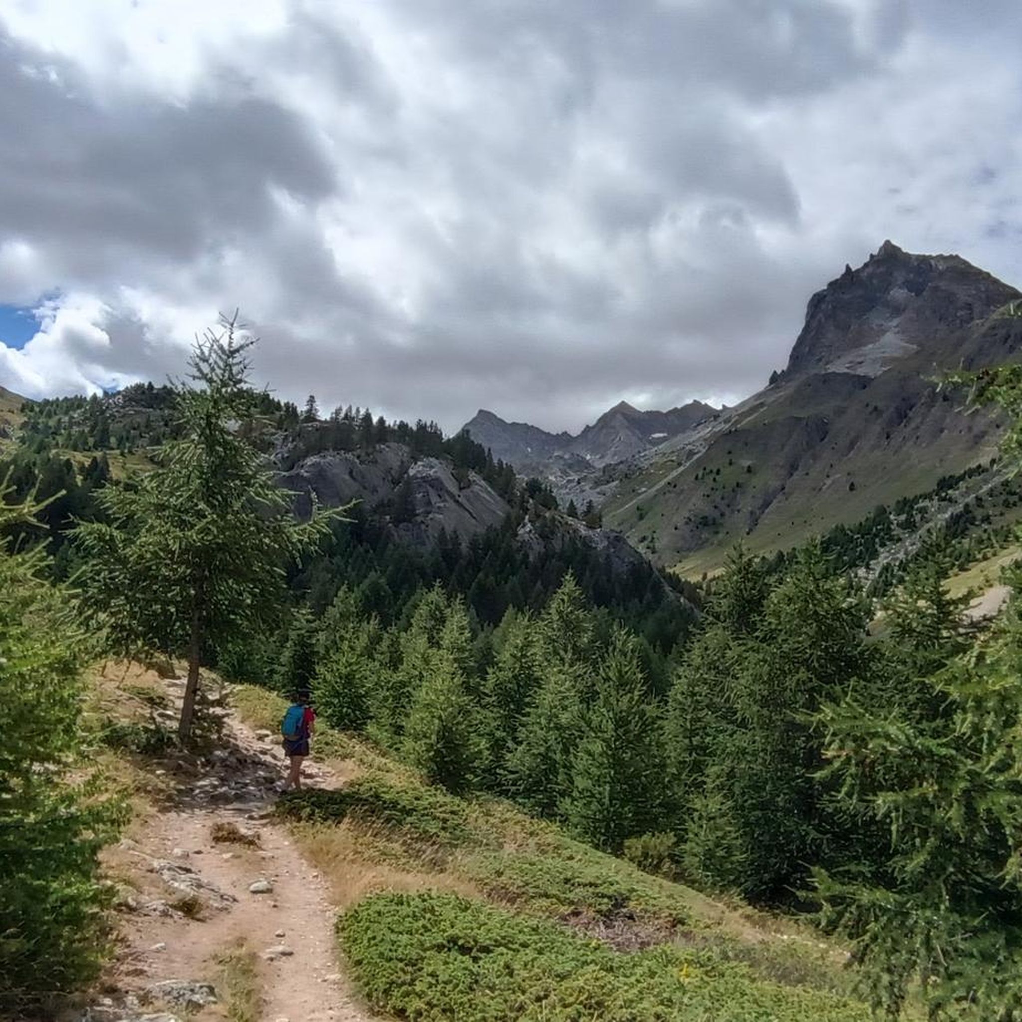
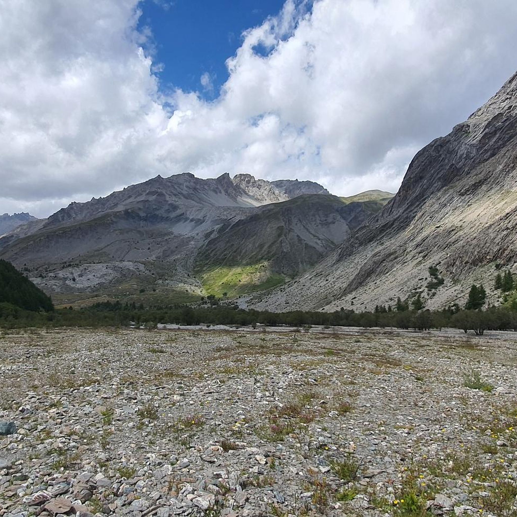
Jogging routes Saint-Paul-Sur-Ubaye traverse a diverse landscape within the Ubaye Valley of the Alpes-de-Haute-Provence. The region is characterized by mountainous terrain, featuring numerous peaks, expansive alpine meadows, and dense larch forests. The Ubaye River carves through the valley, creating varied ecosystems, while high-altitude lakes add to the scenic backdrop for running.
Best jogging routes around Saint-Paul-Sur-Ubaye
- The most popular jogging route is Head of Fréma and Point of Aval – trail, a 15.3 miles (24.6 km) trail that takes…
Last updated: July 2, 2026
43
runners
24.6km
05:38
1,930m
1,930m
Hard run. Very good fitness required. Sure-footedness, sturdy shoes and alpine experience required.
35
runners
18.0km
02:31
760m
760m
Hard run. Very good fitness required. Sure-footedness, sturdy shoes and alpine experience required.

Sign up for free
23
runners
16.8km
02:36
880m
880m
Hard run. Very good fitness required. Mostly paved surfaces. Suitable for all skill levels.
17
runners
25.9km
04:03
800m
800m
Hard run. Very good fitness required. Sure-footedness, sturdy shoes and alpine experience required.
17
runners
9.74km
01:22
210m
210m
Hard run. Good fitness required. Sure-footedness, sturdy shoes and alpine experience required.
Get access to more routes and recommendations from other explorers.
Sign up for free
Already have an account?
Our route recommendations are based on thousands of hikes, rides, and runs completed by other people on komoot.
Start today with a free account
Your next adventure awaits.
Login or Signup
Popular around Saint-Paul-Sur-Ubaye
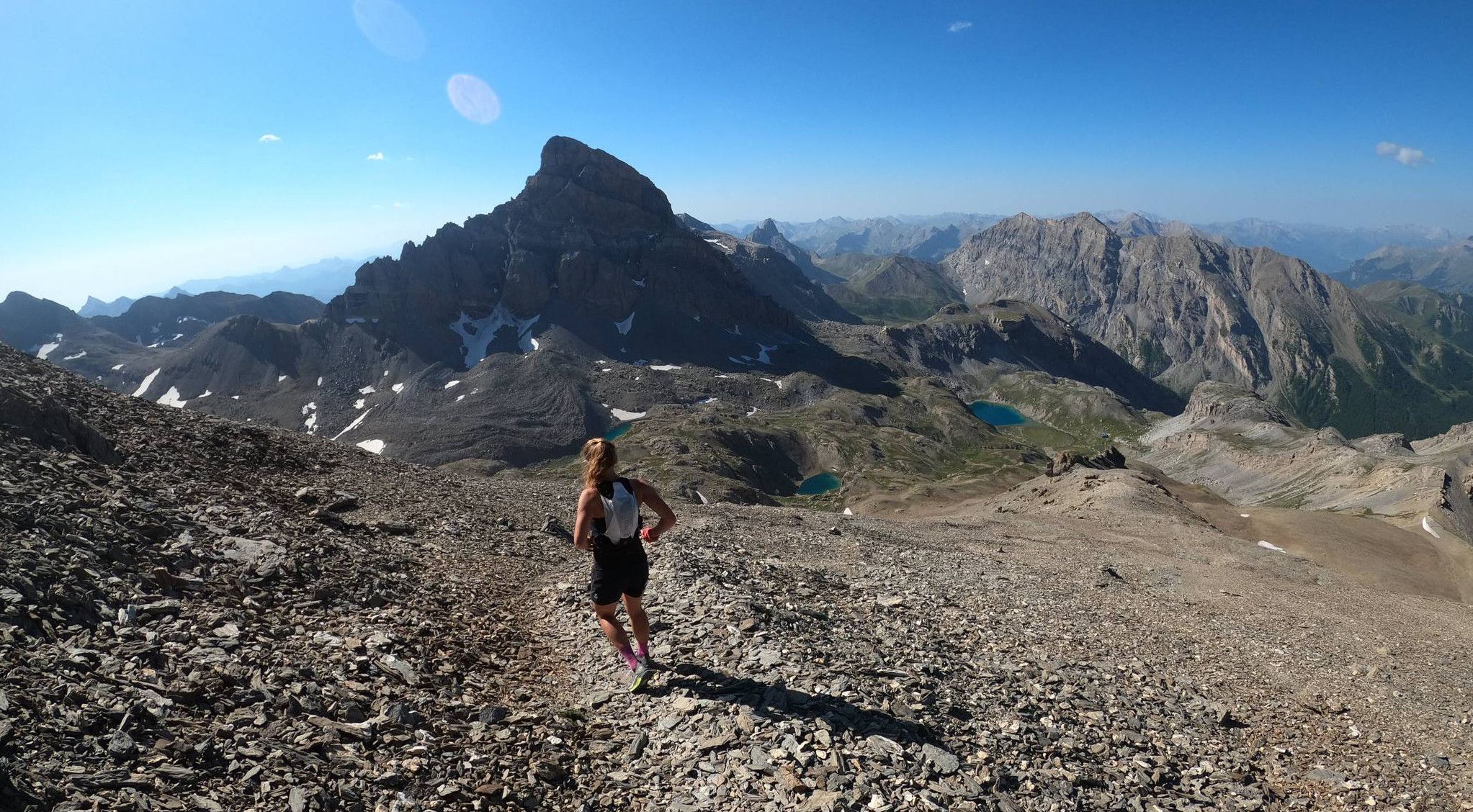
Trail running in the mountain peaks from Barcelonnette
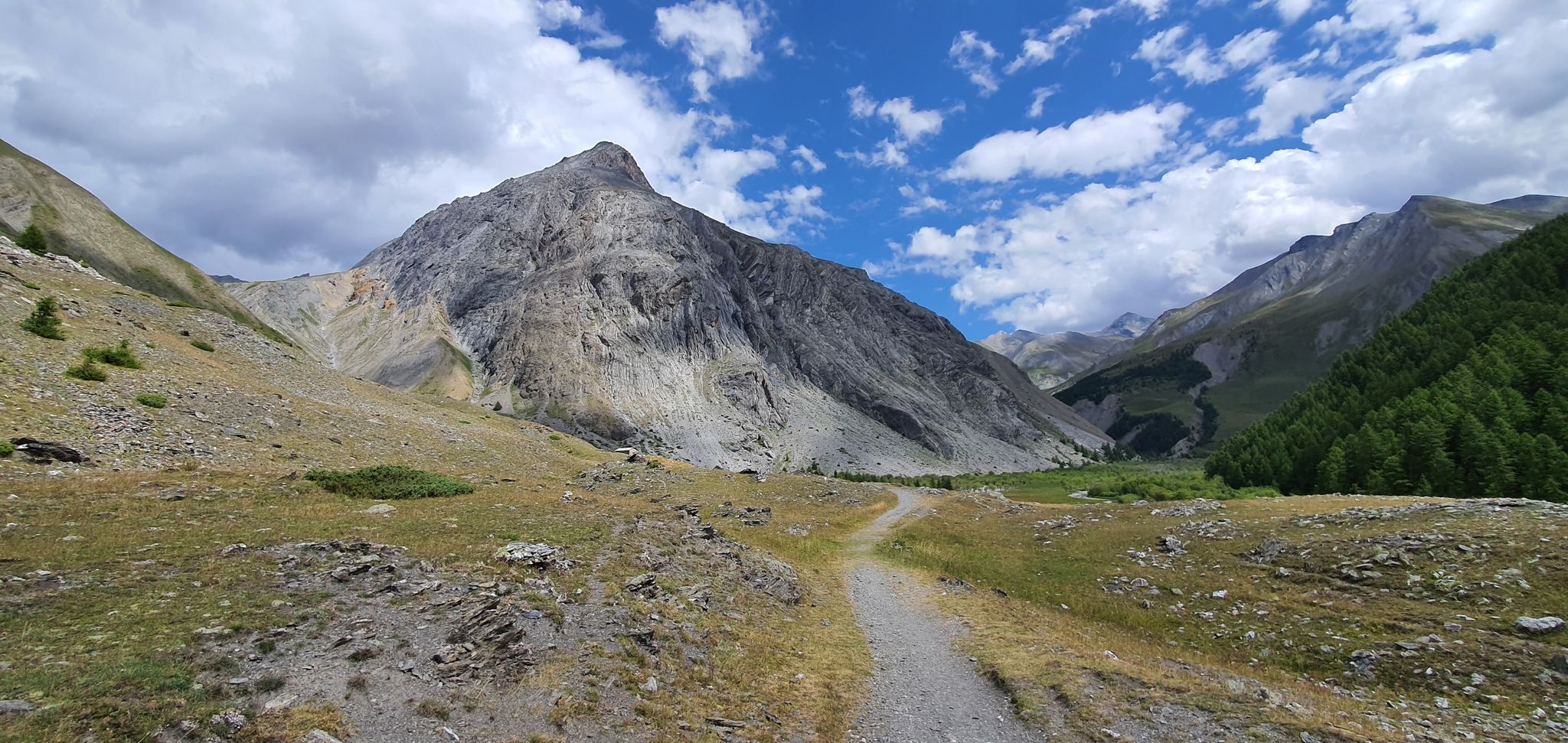
Western trans-alpine crossing – pure adventure on your mountain bike
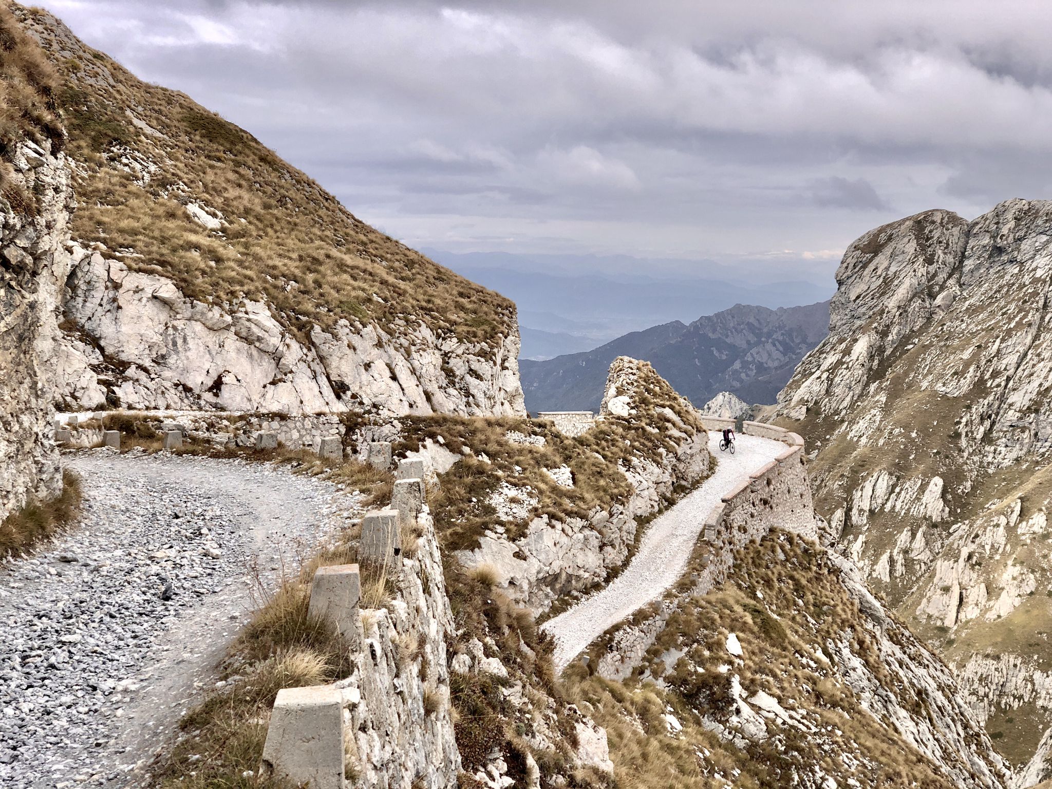
Rough and tough – spectacular gravel loops in the Alps

Hike from Saint-Étienne-de-Tinée to Briançon – Europe Trail (GR 5)

Mountains and marmots — France’s Ubaye trail (GR 56)

High mountain escapades — 15 peaks over 3,000m in the Alps
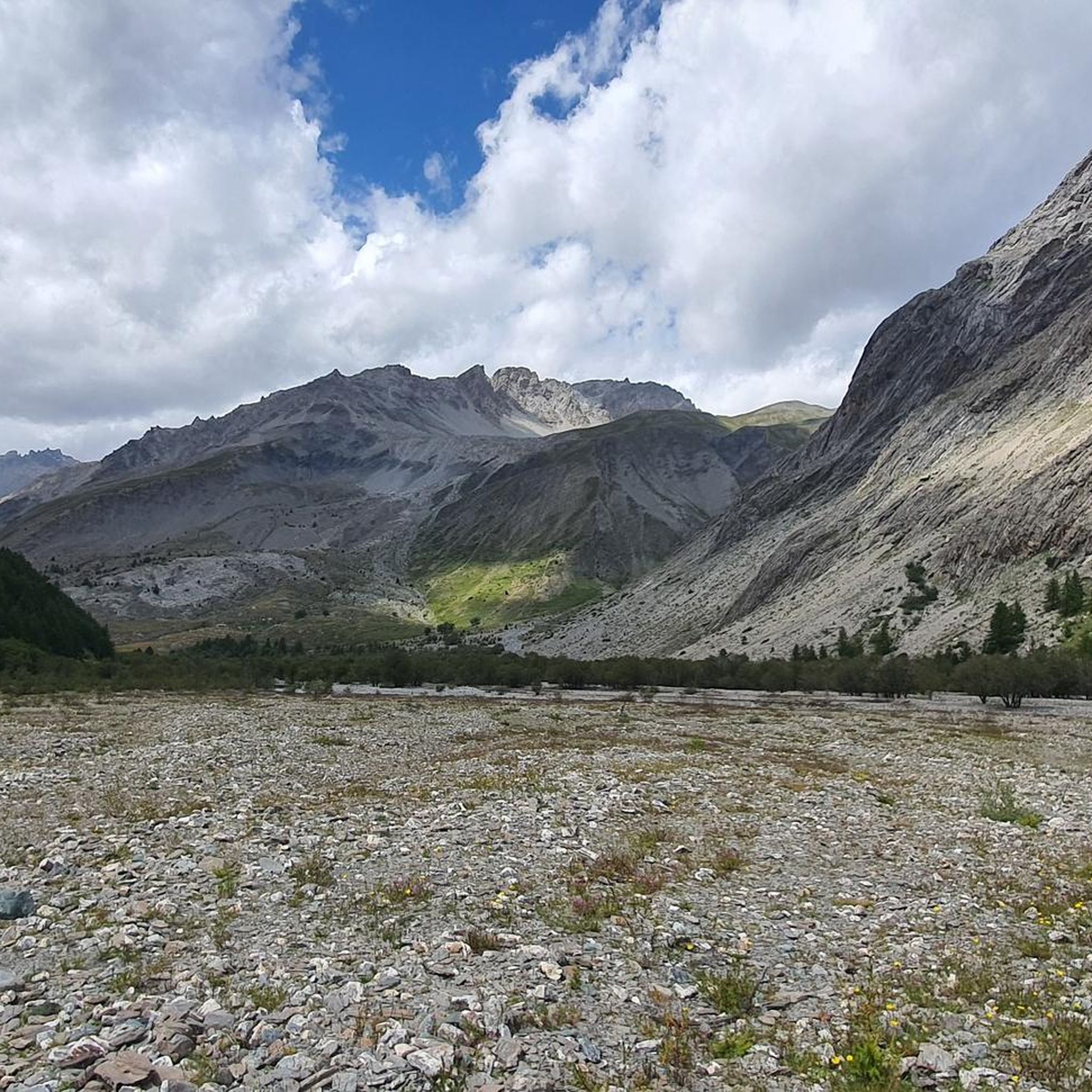
Hiking around Saint-Paul-Sur-Ubaye
Cycling around Saint-Paul-Sur-Ubaye
Road Cycling Routes around Saint-Paul-Sur-Ubaye

Gravel biking around Saint-Paul-Sur-Ubaye
Other adventures around Saint-Paul-Sur-Ubaye


Tips from the Community

I recommend this hike, a wonderful place, not difficult to reach
0
0


https://youtu.be/JFu9Uf70ECw?si=5jd76ATJkKHsYo-D The route down from Longet was very straightforward and easy for me. It feels like an eternity of riding down into the valley until you spot the striking bridge leading up to Fouillouse.
0
0
https://youtu.be/JFu9Uf70ECw?si=5jd76ATJkKHsYo-D The village is quite high up, and beyond that, there's nothing else except a church. The lonely church looks like it could be in Mexico, with its wall and arched entrance. Tourists can get food here.
0
0

They say it is always open even in self-managed mode. Search for phone number on the web. quota 2650 base for many important excursions.
1
0

In autumn it looks like Little Canada :-)
0
1

Fantastic panoramic mountain with a splendid landscape
1
0
small detour across the border to France
0
0
Frequently Asked Questions
What kind of terrain can I expect on running routes around Saint-Paul-sur-Ubaye?
The running routes in Saint-Paul-sur-Ubaye traverse a diverse and often challenging landscape. You'll encounter mountainous terrain with significant elevation changes, expansive alpine meadows, dense larch forests, and trails alongside the Ubaye River, which carves through dramatic gorges. The region is known for its pristine natural environment and high-altitude features.
Are there any easy jogging routes in Saint-Paul-sur-Ubaye for beginners?
While Saint-Paul-sur-Ubaye is a paradise for outdoor enthusiasts, many of its running routes are rated as moderate to difficult due to the mountainous terrain and elevation gain. There are currently no routes specifically classified as 'easy' in our selection, but some moderate options like the Col de Vars – Col de Vars, 2109 m loop from Col de Vars offer scenic views without extreme difficulty.
What are some scenic viewpoints or natural features I can see while running?
The region is rich in natural beauty. You can expect stunning views of high-altitude peaks, including the Brec du Chambeyron, and pristine alpine lakes such as Lac des Neuf Couleurs, Lac Long, and Lac Premier. The Ubaye River itself offers dramatic gorges. For specific highlights, consider routes that pass near Lake of Nine Colours or Lake Sainte-Anne. The Head of Fréma and Point of Aval – trail also offers extensive high-mountain vistas.
Are there any circular running routes available?
Yes, Saint-Paul-sur-Ubaye offers several excellent circular running routes. A popular moderate option is the Col de Vars – Col de Vars, 2109 m loop from Col de Vars. For a more challenging experience, you could try the Chambeyron Refuge loop from Fouillouse or the Le Brec loop from Saint-Paul-sur-Ubaye.
What is the best time of year for jogging in Saint-Paul-sur-Ubaye?
Saint-Paul-sur-Ubaye is a fantastic destination for outdoor activities, including jogging, primarily from late spring through early autumn. During these months, the weather is generally favorable, and the high-altitude trails are free of snow. Winter transforms the landscape into a haven for snow sports, so running routes might be covered or require specialized gear like snowshoes.
How long are the running trails in Saint-Paul-sur-Ubaye?
The running trails in Saint-Paul-sur-Ubaye vary significantly in length. You can find shorter, moderate loops like the Col de Vars loop, which is about 7.5 km. Longer, more challenging routes, such as the Head of Fréma and Point of Aval – trail, can extend over 24 km and take several hours to complete.
Are there any family-friendly running routes?
Given the predominantly mountainous and challenging terrain, many routes in Saint-Paul-sur-Ubaye are better suited for experienced runners. However, families looking for a less strenuous experience might enjoy shorter sections of trails or the more moderate options available, keeping in mind the elevation changes. Always check the route details for distance and elevation to ensure it's suitable for your family's fitness level.
What do other runners say about the trails in Saint-Paul-sur-Ubaye?
The running routes in Saint-Paul-sur-Ubaye are highly regarded by the komoot community, with an average rating of 4.6 stars from over 17 reviews. Runners often praise the stunning alpine scenery, the challenging yet rewarding climbs, and the sense of immersion in a pristine natural environment. Many appreciate the variety of trails catering to different fitness levels, from moderate loops to demanding high-elevation runs.
Are there any notable landmarks or attractions near the running trails?
Beyond the natural beauty, you can find interesting landmarks. The authentic village of Saint-Paul-sur-Ubaye itself, with its traditional stone architecture, is worth exploring. The impressive Pont du Châtelet, a 108-meter-high bridge built in 1880, spans a deep gorge and offers spectacular views of the valley. Some routes might pass near mountain refuges like the Vallanta Hut or Bagnour Hut.
How many running routes are available in the Saint-Paul-sur-Ubaye area?
There are over 20 dedicated running routes available around Saint-Paul-sur-Ubaye. These routes offer a wide range of experiences, from moderate loops to challenging high-mountain trails, ensuring there's something for every type of runner looking to explore the Ubaye Valley.
Can I find running routes that offer views of the high peaks?
Absolutely. Saint-Paul-sur-Ubaye is nestled among numerous peaks exceeding 3,000 meters, including the Brec du Chambeyron and the Aiguilles du Chambeyron. Many running routes, especially the more challenging ones, ascend into the high-mountain environment, providing panoramic views of these majestic summits. The Head of Fréma and Point of Aval – trail is a prime example of a route offering such extensive high-mountain vistas.
Are there any running routes that pass through forests or along rivers?
Yes, the diverse landscape of Saint-Paul-sur-Ubaye includes both dense forests and river valleys. You can find routes that wind through beautiful larch forests and run alongside the Ubaye River, which carves through the valley. A scenic loop between Saint-Paul-sur-Ubaye and the hamlet of Fouillouse is known for passing through these natural features.
Most popular routes around Saint-Paul-Sur-Ubaye
Most popular attractions around Saint-Paul-Sur-Ubaye

Get inspired with the komoot mobile app


Explore more
Browse the best Running Trails & Routes in other regions.
