The best walks and hikes around Boissy-L'Aillerie
4.5
(294)
1,556
hikers
13
hikes
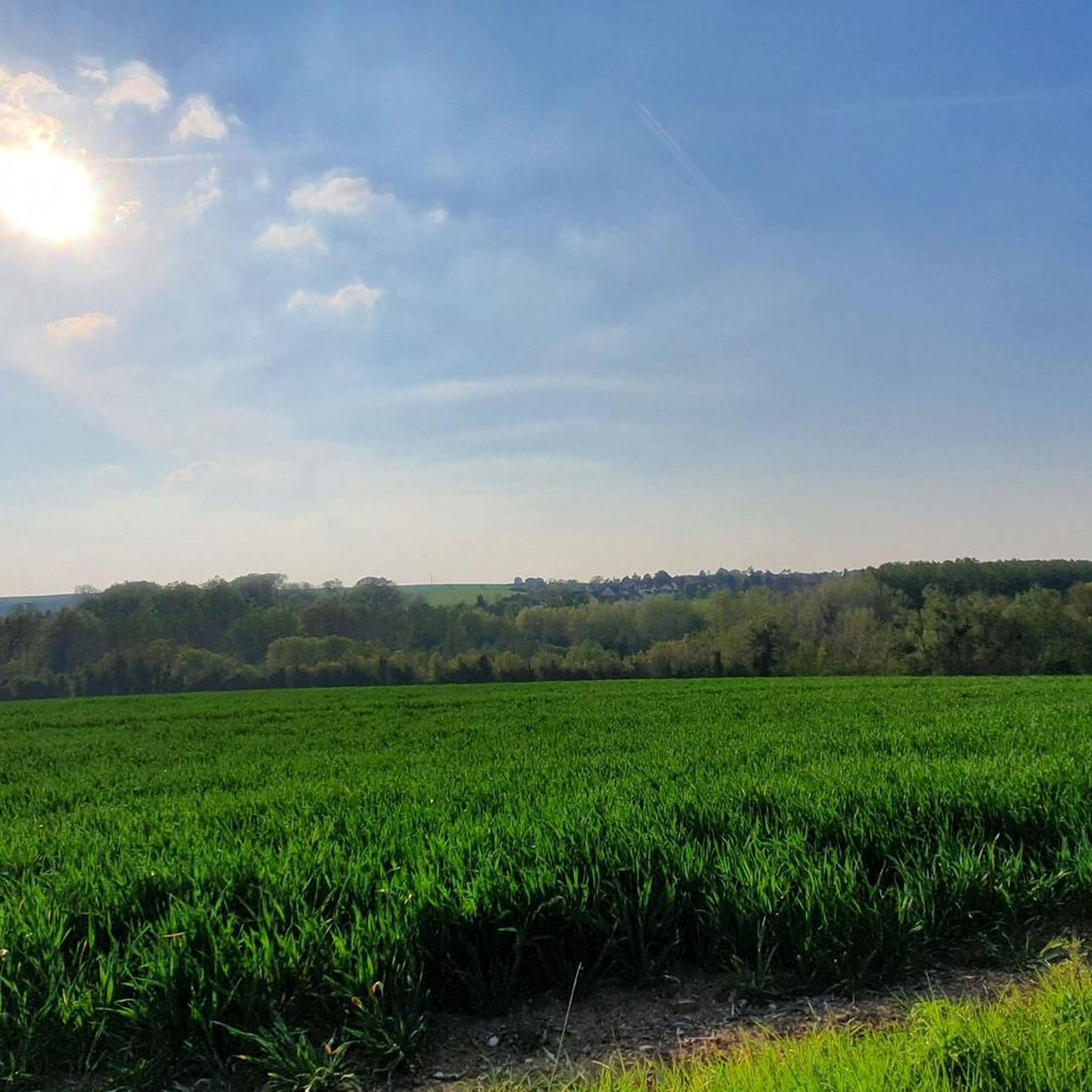
Hiking around Boissy-L'Aillerie offers diverse landscapes, transitioning between rural charm along the Viosne River and the varied terrain of the Vexin Français Regional Natural Park. The region features a mosaic of natural environments, including the Viosne Valley, wetlands like the Marais de Boissy-Montgeroult, and alternating sections of woodlands and open cereal plains. Higher elevations provide scenic vistas over the valley and surrounding villages.
Best hiking trails around Boissy-L'Aillerie
- The most popular hiking route is Julius Caesar Road and Viosne Valley…
Last updated: October 10, 2026
4.6
(38)
124
hikers
11.7km
03:13
190m
190m
Moderate hike. Good fitness required. Easily-accessible paths. Suitable for all skill levels.
3.8
(4)
12
hikers
18.7km
05:04
260m
260m
Hard hike. Very good fitness required. Easily-accessible paths. Suitable for all skill levels.

2.0
(1)
15
hikers
9.73km
02:35
100m
100m
Moderate hike. Good fitness required. Easily-accessible paths. Suitable for all skill levels.
4.5
(4)
10
hikers
6.29km
01:44
110m
110m
Easy hike. Great for any fitness level. Easily-accessible paths. Suitable for all skill levels.
4.3
(3)
17
hikers
10.9km
02:59
170m
170m
Moderate hike. Good fitness required. Easily-accessible paths. Suitable for all skill levels.
Get access to more routes and recommendations from other explorers.
Already have an account?
Our route recommendations are based on thousands of hikes, rides, and runs completed by other people on komoot.
Start today with a free account
Your next adventure awaits.


Tips from the Community

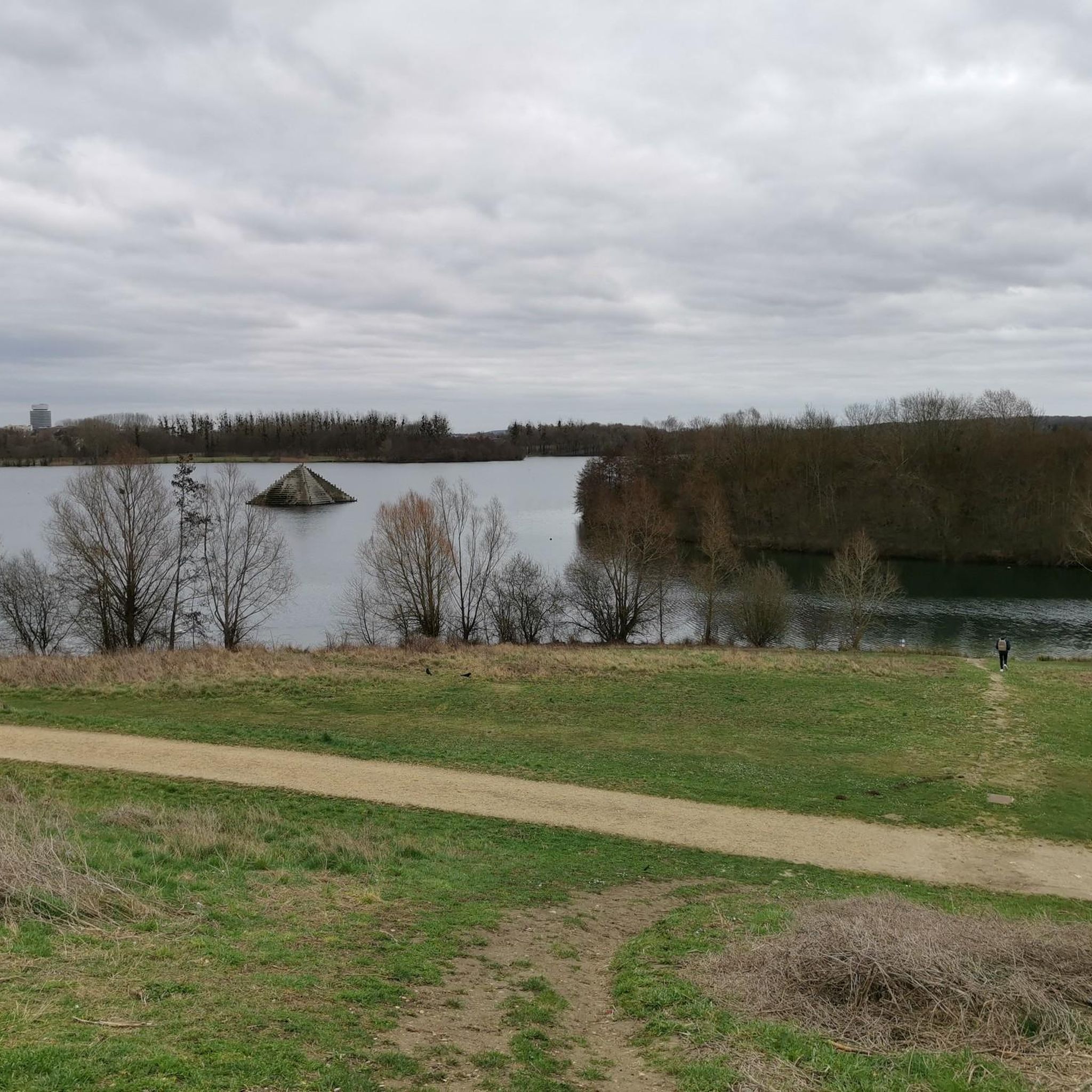
A charming village on the slopes of the Viosne with its castle and adjacent church.
0
0

Located on the Jules César road, this is one of the two crosses placed nearby (the other is the Labathe cross)
1
0
Courcelles-sur-Viosne is a town in the French Vexin region and its main characteristic is that it is on the way to the Chaussée de César, a trade route dating from the Roman Empire.
0
0
Cross located on the Chaussée Jules César, erected in the 13th Century by the Templars.
0
0
Private castle dating from the 17th century and classified as a Historic Monument since 1996.
1
0

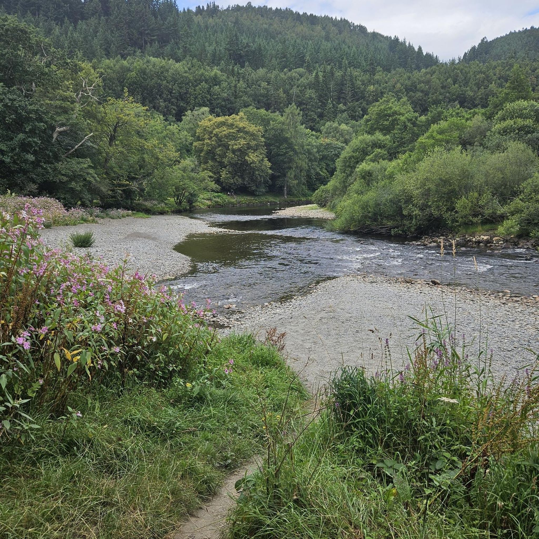
A beautiful piece of nature, the building opposite the wash house has a magnificent architecture.
1
0

Hi walkers This is a must, but I would add that you have to walk in the park only on weekdays, leave large families on the weekends, the atmosphere can quickly get "heavy" with too many people. Otherwise a beautiful nugget, if you make every nook and cranny ...
0
0

Ideal for family picnics and artistic walks. The park is magnificent!
0
0
Frequently Asked Questions
How many hiking trails are available around Boissy-L'Aillerie?
There are over 10 hiking trails around Boissy-L'Aillerie, offering a variety of experiences for different skill levels. The komoot community has explored these routes over 1,400 times, contributing to an average rating of 4.5 stars.
What kind of landscapes can I expect to see while hiking in Boissy-L'Aillerie?
Hiking in Boissy-L'Aillerie offers diverse landscapes. You'll find trails winding through the picturesque Viosne Valley, exploring the varied terrain of the Vexin Français Regional Natural Park, and traversing wetlands like the Marais de Boissy-Montgeroult. Routes often alternate between peaceful woodlands and open cereal plains, with higher elevations providing scenic vistas over the valley and surrounding villages.
Are there any historical landmarks to discover on the trails?
Yes, the area is rich in history. Many trails incorporate sections of the ancient Roman road, La Chaussée Jules-César, offering panoramic views of Boissy-L'Aillerie and nearby villages. You can also find rural heritage elements like historical mills, churches, crosses, wash houses, and fountains. Longer loops might even lead you past landmarks such as Montgeroult Castle.
Are there any easy hiking routes suitable for beginners or families?
Yes, Boissy-L'Aillerie offers several easy routes. For example, the Justice Cross loop from Boissy-l'Aillerie is an easy 3.9-mile (6.3 km) trail that can be completed in about 2 hours. In total, there are 4 easy routes available, perfect for a relaxed outing.
What are some notable natural features or viewpoints along the hiking paths?
The Viosne Valley is a central natural feature, with many trails following its banks or offering views into it. The Marais de Boissy-Montgeroult is a significant wetland area known for its biodiversity. For panoramic views, look for trails that ascend to higher elevations, providing beautiful scenic vistas over the Viosne Valley and the village of Montgeroult. You can also find highlights like the View of the Vexin.
Are there any circular hiking routes available?
Yes, many of the trails around Boissy-L'Aillerie are designed as circular loops. For instance, the Château de Grouchy – Glacier loop from Boissy-l'Aillerie is a moderate 6.0-mile (9.7 km) circular path that explores the area around the Château de Grouchy. Another option is the longer Montgeroult Castle – Labathe Cross loop from Boissy-l'Aillerie.
What can I see near the hiking trails in terms of attractions?
Beyond the trails themselves, you can explore several interesting attractions. The Auvers-sur-Oise, famous for its connections to Vincent van Gogh, is nearby. You might also encounter the Axe Majeur footbridge or the historic Château de Théméricourt. For natural wonders, consider visiting the Auversian Geological Site.
What do other hikers enjoy most about hiking in Boissy-L'Aillerie?
The area is highly rated by the komoot community, with an average score of 4.5 stars from over 240 reviews. Hikers often praise the varied terrain that alternates between woodlands and open plains, the historical elements like the Julius Caesar Road, and the picturesque views of the Viosne Valley. The well-maintained paths and the sense of rural charm are also frequently highlighted.
Are there any trails that combine historical elements with natural beauty?
Absolutely. The Julius Caesar Road and Viosne Valley Trail is an excellent example. This moderate 7.3-mile (11.7 km) route seamlessly blends ancient Roman history with the stunning natural scenery of the Viosne River valley, offering both cultural insight and beautiful views.
What is the best time of year to go hiking in Boissy-L'Aillerie?
Boissy-L'Aillerie offers pleasant hiking experiences throughout much of the year. Spring and autumn are particularly beautiful, with mild temperatures and vibrant foliage or blooming wildflowers. Summer provides longer daylight hours, though some open sections might be warm. Even in winter, many trails remain accessible, offering a different, often serene, perspective of the Vexin Français landscapes.
Are there any longer, more challenging hikes for experienced trekkers?
Yes, for those seeking a more demanding experience, there are longer and more challenging routes. The Montgeroult Castle – Labathe Cross loop from Boissy-l'Aillerie is an 11.6-mile (18.7 km) trail that leads through varied terrain and is typically completed in about 5 hours. This route is classified as difficult, offering a good workout for experienced hikers.
Most popular routes around Boissy-L'Aillerie
Most popular attractions around Boissy-L'Aillerie

Get inspired with the komoot mobile app


Explore more
Browse the best Hikes in other regions.
