The best running trails around Soulaire-Et-Bourg
4.5
(37)
3,244
runners
28
runs
Jogging around Soulaire-Et-Bourg offers diverse landscapes, from low valleys to varied terrain with gentle slopes. The region is characterized by its location within the Basses Vallées Angevines, a Natura 2000 zone, and its proximity to the Sarthe and Mayenne rivers. Runners can explore "chemins creux" (holloways) that provide shaded paths, often away from main roads, and experience a mix of open fields and quiet country lanes. This blend of natural beauty and varied topography caters to different fitness levels, with…
Last updated: July 1, 2026
16
runners
17.1km
01:55
110m
110m
Hard run. Very good fitness required. Mostly paved surfaces. Suitable for all skill levels.
9
runners
34.3km
03:44
110m
110m
Hard run. Very good fitness required. Mostly paved surfaces. Suitable for all skill levels.

Sign up for free
6
runners
9.93km
01:02
50m
50m
Moderate run. Good fitness required. Mostly paved surfaces. Suitable for all skill levels.
5
runners
7.16km
00:47
50m
50m
Moderate run. Good fitness required. Mostly paved surfaces. Suitable for all skill levels.
5
runners
5.65km
00:36
30m
30m
Moderate run. Good fitness required. Mostly paved surfaces. Suitable for all skill levels.
Get access to more routes and recommendations from other explorers.
Sign up for free
Already have an account?
Our route recommendations are based on thousands of hikes, rides, and runs completed by other people on komoot.
Start today with a free account
Your next adventure awaits.
Login or Signup

Tips from the Community

This path is magnificent.
0
0


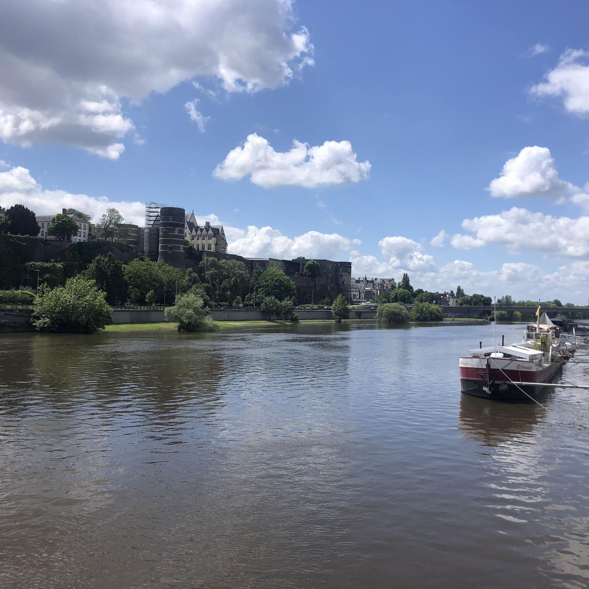
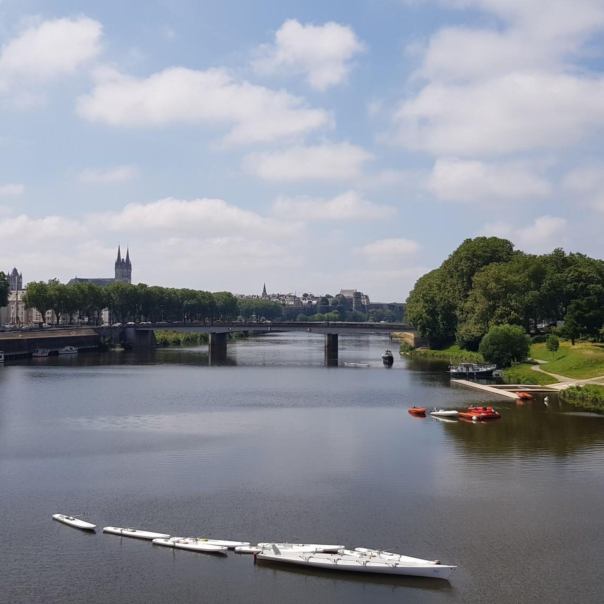
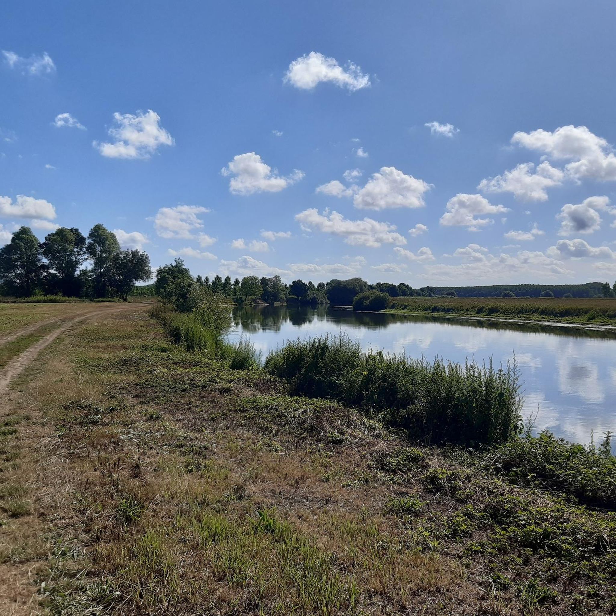
This trail alternates meadows and riverside paths, offering you an overview of the rich flora and fauna of the Basses Vallées Angevines. You can admire the remains of the old towpaths and bridges which bear witness to the history of river transport. It's a great way to experience the natural beauty and heritage of this region.
2
0

real end of the V47, 9 km from the "bec du Loir" where the Loir flows into the Sarthe (at Briollay) before quickly joining the Maine then the Loire south of Angers
1
0

Beautiful moated castle from the 15th century. mostly original condition
0
0

Magnificent fortified castle
0
0

Great everything to do on the Ile Saint-Aubin after passing the bac, mention very well, with the strength of the arm.
0
0

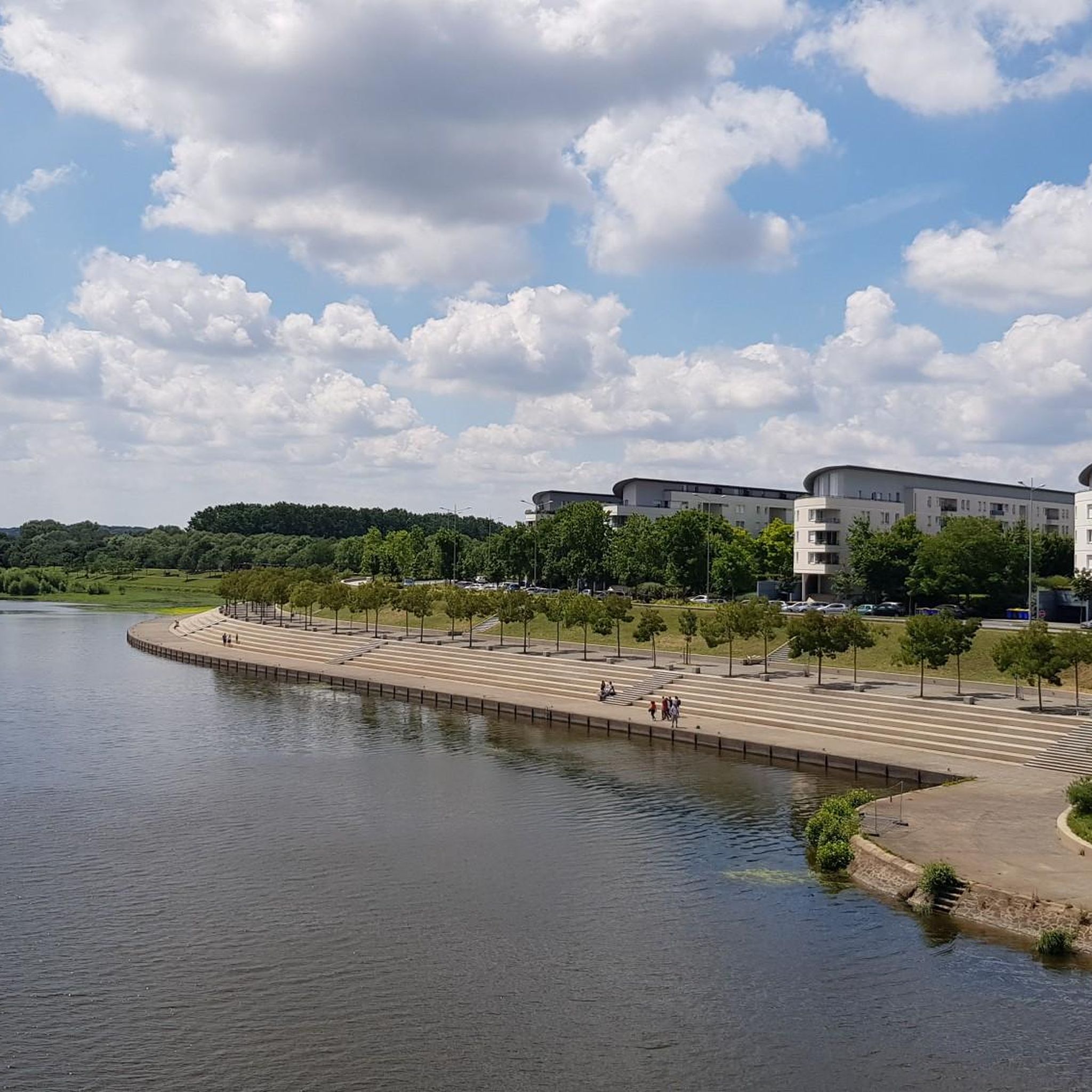
Bridge reopened in 2019, now reserved for pedestrian and cyclist traffic. A bubble of nature just outside the city!
0
0
Frequently Asked Questions
How many running routes are available around Soulaire-Et-Bourg?
There are over 25 dedicated running routes around Soulaire-Et-Bourg, catering to various fitness levels. These routes are highly rated by the komoot community, with an average score of 4.7 stars.
Are there any easy jogging routes for beginners in Soulaire-Et-Bourg?
Yes, Soulaire-Et-Bourg offers several easier running options. There are 3 routes specifically classified as 'easy', perfect for beginners or those looking for a relaxed jog. The varied terrain, including 'chemins creux' (holloways), provides a pleasant experience.
What kind of landscapes can I expect to see while running in Soulaire-Et-Bourg?
Runners in Soulaire-Et-Bourg can enjoy diverse landscapes, from picturesque low valleys and riverine scenery along the Sarthe and Mayenne rivers to tranquil 'chemins creux' (holloways). The area is part of the 'Basses Vallées Angevines', a Natura 2000 zone known for its rich ecosystems, offering beautiful natural backdrops.
Are there any circular running routes in the area?
Yes, many of the running routes around Soulaire-Et-Bourg are circular, allowing you to start and finish at the same point. For example, the Running loop from Soulaire-et-Bourg is a moderate 9.9 km circular path featuring open fields and quiet country lanes.
Can I find running routes that pass by historical landmarks or attractions?
Absolutely. Many routes offer glimpses of historical sites. For instance, you can find routes near the magnificent Château du Plessis-Bourré. Other historical churches, like the 12th-century Saint Martin de Soulaire church, also add interest to your run. You can explore more attractions in the area by checking out the Attractions around Soulaire-Et-Bourg guide.
What is the longest running route available in Soulaire-Et-Bourg?
The longest route highlighted is the Segré Bridge – Bec du Loir loop from Soulaire-et-Bourg, which spans 34.3 km. This difficult route offers extensive views across the riverine landscape and takes approximately 3 hours 44 minutes to complete.
Are there any running routes suitable for families with children?
While specific 'family-friendly' classifications aren't always available, the area's 'easy' and 'moderate' routes, particularly those on flatter terrain or through shaded 'chemins creux', can be suitable for families. Look for shorter loops with minimal elevation gain, such as the Running loop from Château du Plessis-Bourré, which is 5.6 km with gentle elevation.
What do other runners enjoy most about jogging in Soulaire-Et-Bourg?
The running routes in Soulaire-Et-Bourg are highly rated by the komoot community, with an average score of 4.7 stars from over 30 reviews. Runners often praise the blend of natural beauty, the tranquility of the 'chemins creux', and the varied terrain that keeps runs interesting. The scenic river views and historical landmarks are also frequently mentioned as highlights.
Are there any running trails with good parking access?
Many of the running routes around Soulaire-Et-Bourg start from the village itself or nearby points, where public parking is generally available. For specific routes, it's advisable to check the route details on komoot for suggested starting points and parking information.
Can I find running routes that offer views of the rivers?
Yes, the proximity to the Sarthe and Mayenne rivers means many running routes offer refreshing views and the opportunity to jog alongside waterways. The 'Basses Vallées Angevines' area is particularly known for its riverine landscape, providing scenic backdrops for your run.
What is the typical elevation gain on running routes in Soulaire-Et-Bourg?
The elevation gain varies across routes, catering to different preferences. Moderate routes like the Running loop from Soulaire typically feature an elevation gain of around 50 meters. More challenging routes, such as the Segré Bridge – Bec du Loir loop, can have over 100 meters of elevation gain, offering more strenuous workouts.
Are there any other komoot guides for the Soulaire-Et-Bourg area?
Yes, beyond running, you can explore other activities and points of interest. For example, there's a dedicated guide for Castles around Soulaire-Et-Bourg, which might inspire scenic detours or provide context for historical sites you pass during your run.
Most popular routes around Soulaire-Et-Bourg
Most popular attractions around Soulaire-Et-Bourg

Get inspired with the komoot mobile app


Explore more
Browse the best Running Trails & Routes in other regions.
