The best road cycling routes around Chambost-Allières
4.7
(111)
2,079
riders
109
rides
Road cycling routes around Chambost-Allières traverse the varied landscapes of the upper Azergues valley in the Auvergne-Rhône-Alpes region. The terrain features an altitude range from 320 meters to 865 meters, providing both ascents and descents. Cyclists encounter forested areas, including the Forêt de la Cantinière, and hilly sections offering views of the surrounding region and the Lac des Sapins. This area provides diverse topography suitable for road cycling.
Best road cycling routes around Chambost-Allières
- The most popular road cycling route…
Last updated: July 15, 2026
4.6
(10)
132
riders
58.2km
02:59
980m
980m
Hard road ride. Very good fitness required. Mostly well-paved surfaces and easy to ride.
5.0
(1)
49
riders
50.8km
02:18
380m
380m
Moderate road ride. Good fitness required. Mostly well-paved surfaces and easy to ride.

Sign up for free
25
riders
50.9km
03:05
1,360m
1,360m
Hard road ride. Very good fitness required. Mostly well-paved surfaces and easy to ride.
18
riders
113km
06:15
2,270m
2,270m
Hard road ride. Very good fitness required. Mostly well-paved surfaces and easy to ride.
16
riders
42.0km
02:15
750m
750m
Moderate road ride. Good fitness required. Mostly well-paved surfaces and easy to ride.
Get access to more routes and recommendations from other explorers.
Sign up for free
Already have an account?
Our route recommendations are based on thousands of hikes, rides, and runs completed by other people on komoot.
Start today with a free account
Your next adventure awaits.
Login or Signup

Tips from the Community

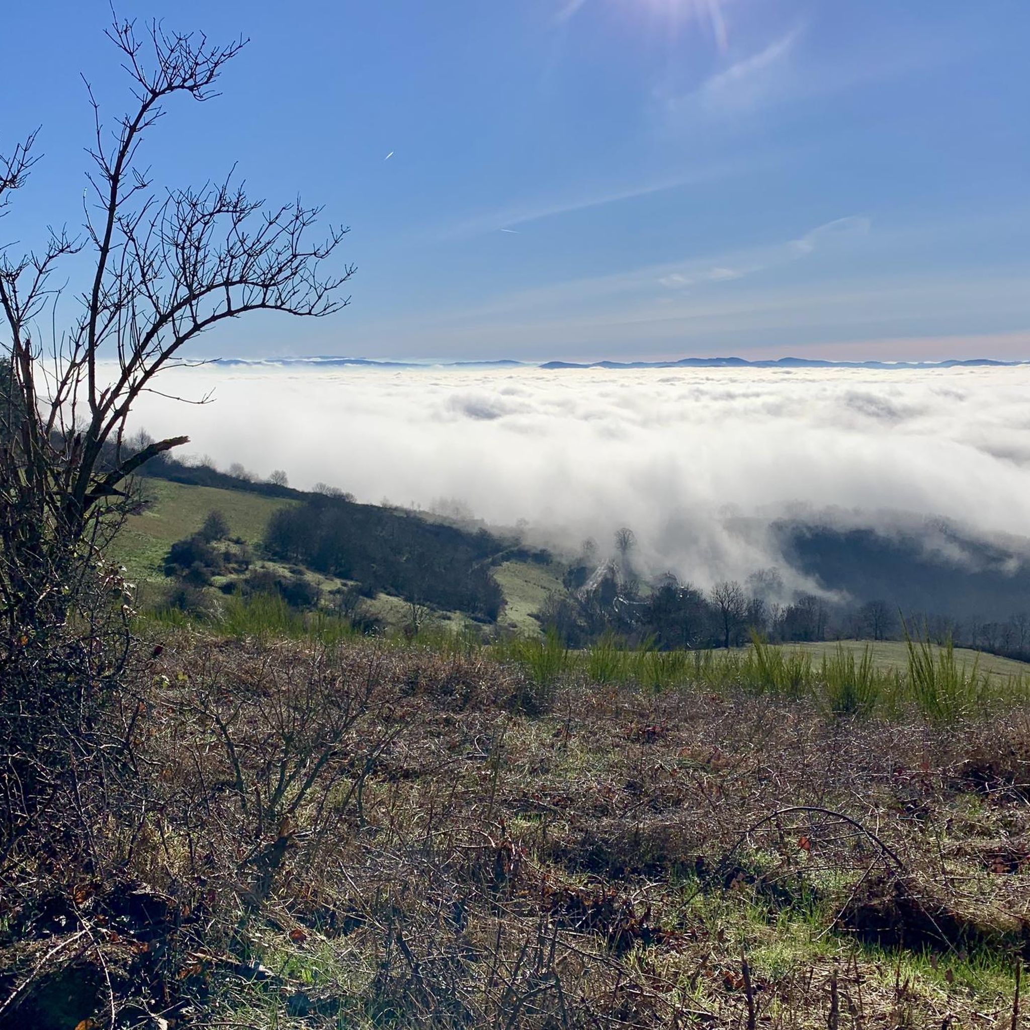
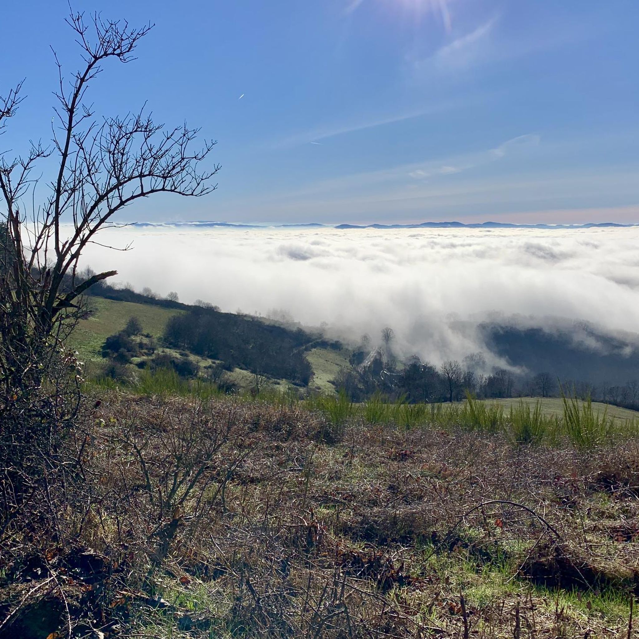
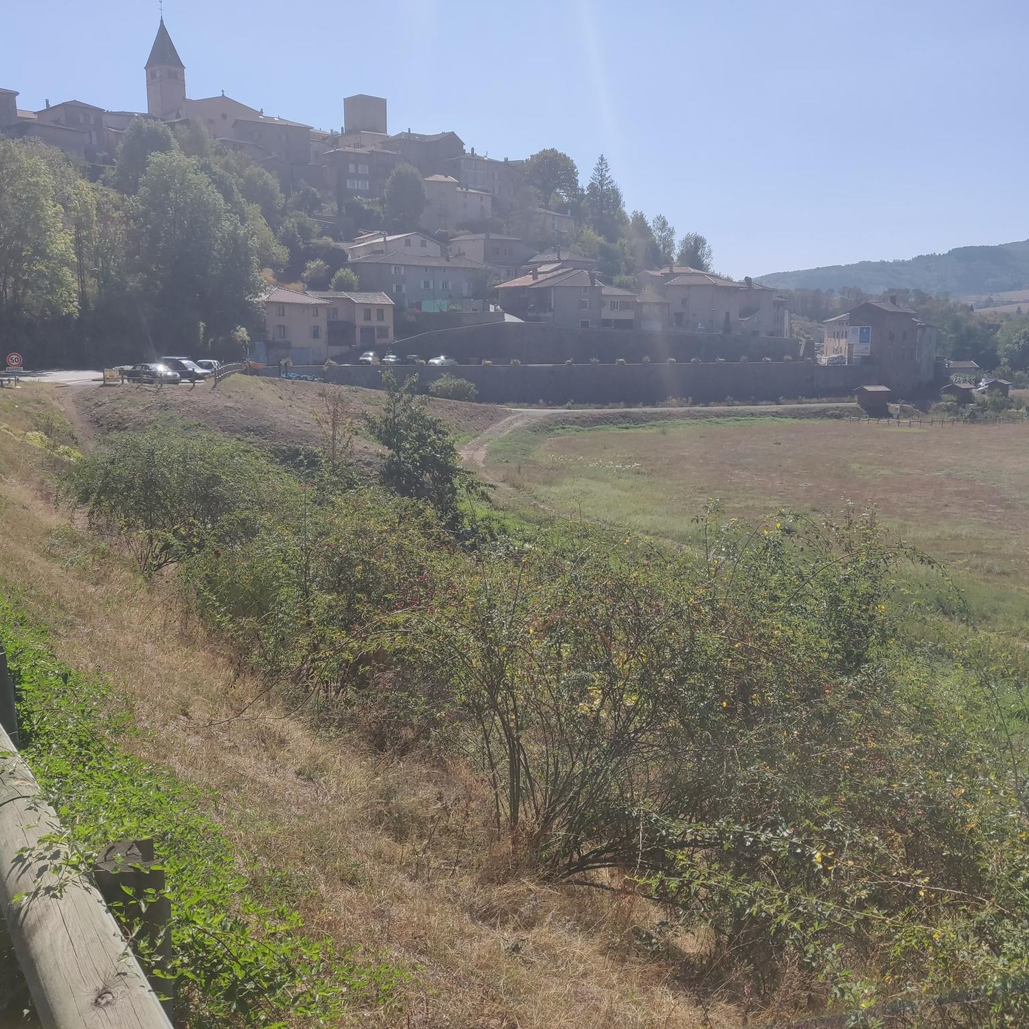
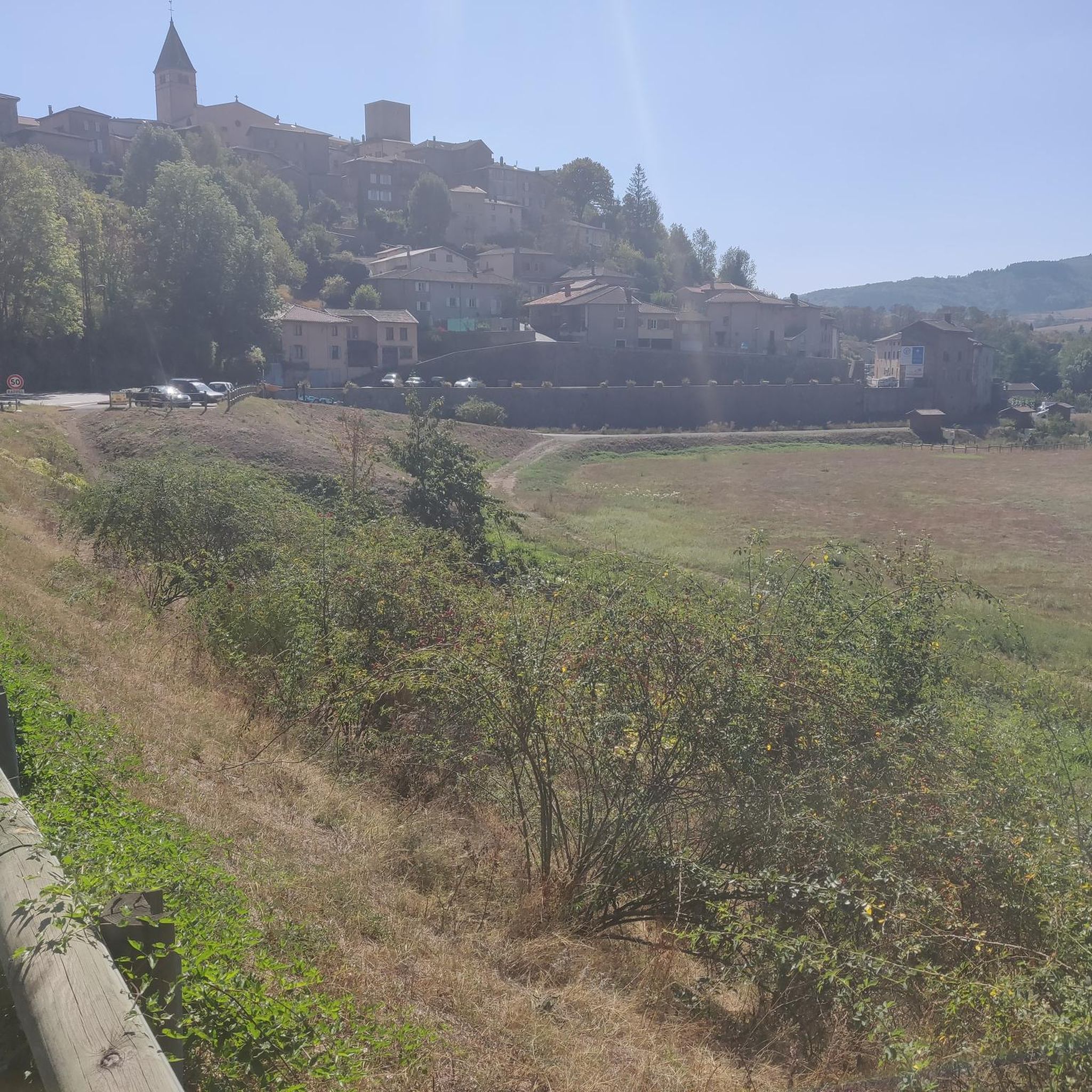
The Col de Durbize is a mountain pass at 550 meters above sea level in the municipality of Chiroubles, in the heart of the Beaujolais wine region. The pass is located in the Massif Central and, as an important road junction (intersection of roads D26, D86, and D18E1), connects surrounding wine villages such as Villié-Morgon and Beaujeu. It is particularly popular with road cyclists and hikers for its panoramic views.
0
0

A crossroads, with a very beautiful willow tree, which offers several nice routes for amateur cyclists.
0
0

Here is the route for the ascent of the Col de la Croix Rosier from Pont Gaillard
1
0

An essential landmark in the region for cyclists
0
0

Great snack for a break with a magnificent view of the vineyards. 🌭🍺🍟
0
0
It's a good place to stop and to look up at others enjoying the view
0
0
Frequently Asked Questions
What kind of terrain can I expect when road cycling around Chambost-Allières?
Road cycling around Chambost-Allières offers a diverse terrain, ranging from 320 meters to 865 meters in altitude. You'll encounter a mix of challenging ascents and scenic descents through hilly and valley landscapes, often winding through forested areas like the Forêt de la Cantinière. This varied topography provides options for all skill levels, from moderate climbs to more difficult routes with significant elevation changes.
Are there scenic viewpoints or landmarks to see along the road cycling routes?
Yes, many routes offer magnificent viewpoints and pass by notable landmarks. You can enjoy vistas of the Saône valley from elevated points, or cycle alongside the beautiful Lac des Sapins. Routes may also lead you past charming villages like Oingt, or historical sites such as Montmelas Castle and Château du Sou.
How many road cycling routes are available in Chambost-Allières?
There are over 100 road cycling routes around Chambost-Allières documented on komoot, catering to various skill levels. This includes a good balance of moderate and difficult routes, ensuring there's something for every road cyclist.
Can I find circular road cycling routes around Chambost-Allières?
Yes, many of the road cycling routes in the area are designed as loops, allowing you to start and finish in the same location. Examples include the Col des Aillets (715 m) loop from Chambost-Allières or the Le Saule d'Oingt – Château du Sou loop from Saint-Just-d'Avray.
Are there any easy road cycling routes suitable for beginners?
While the region is known for its hilly terrain, there are a few easier road cycling routes available. These routes typically feature less elevation gain and shorter distances, making them more accessible for beginners or those looking for a relaxed ride. You can filter routes by difficulty on komoot to find the best fit.
What do other road cyclists enjoy most about cycling in Chambost-Allières?
The road cycling routes in Chambost-Allières are highly rated by the komoot community, with an average score of 4.7 stars from over 90 reviews. Cyclists often praise the varied terrain, the scenic views of the surrounding region and Lac des Sapins, and the well-maintained roads that wind through forests and charming villages.
What is the best time of year for road cycling in Chambost-Allières?
The region is generally pleasant for road cycling from spring through autumn. Spring offers lush greenery and comfortable temperatures, while autumn provides beautiful fall foliage. Summer can be warm, but routes through forested areas like the Forêt de la Cantinière can offer welcome shade. Always check local weather forecasts before heading out.
Are there any challenging road cycling routes for experienced riders?
Absolutely. Chambost-Allières is well-suited for experienced road cyclists seeking a challenge. Many routes feature significant elevation changes and long climbs, such as the Le Saule d'Oingt – Château du Sou loop from Saint-Just-d'Avray, which includes nearly 1000 meters of ascent over 57 kilometers.
Can I combine road cycling with cultural discoveries in the area?
Yes, the region around Chambost-Allières, part of the broader Beaujolais area, is rich in cultural heritage. You can cycle through charming villages, visit local producers, and explore historical sites. The village of Chambost itself features an 11th-century Roman and Gothic church and old village facades, adding a cultural dimension to your rides.
Are there any specific passes or cols to conquer by road bike?
Yes, the hilly terrain includes several notable passes. For example, the Col des Aillets (715 m) and the Col du Chêne (725 m) are popular climbs that offer rewarding views and varied terrain for road cyclists.
How long do road cycling routes typically take in this area?
Route durations vary significantly based on distance and elevation. For example, a moderate 44 km route like the Col des Aillets (715 m) loop can take around 2 hours and 5 minutes, while a more difficult 57 km route such as the Le Saule d'Oingt – Château du Sou loop might take closer to 2 hours and 55 minutes.
Most popular routes around Chambost-Allières
Most popular attractions around Chambost-Allières

Get inspired with the komoot mobile app


Explore more
Browse the best Road cycling routes in other regions.
